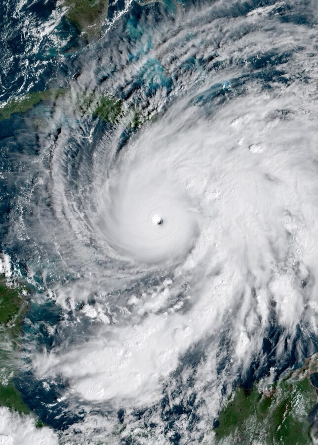
Hurricane season in the Caribbean runs from June 1 to November 30, the official Atlantic season set by the National Hurricane Center, and it peaks around September 10. The islands hit most often are the northeast corner (the Virgin Islands, St. Martin, Anguilla, St. Kitts and Antigua), the western Caribbean from Cuba and Grand Cayman to Cancún, and the Bahamas; the islands hit least are Aruba, Bonaire, Curaçao and Trinidad.
Most trips still go untouched. Even the most exposed islands see a hurricane pass close by every few years, not every season. What changes is how you book: the month, the island, the insurance and the refund rules you can lean on if a storm forms the week before you fly.
On this page
When the season runs, month by month
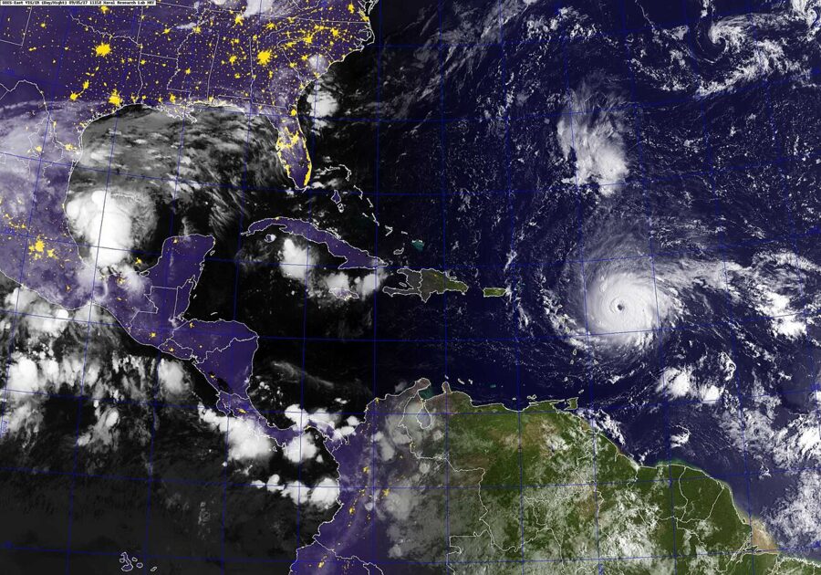
The dates cover the whole Atlantic basin, which the National Hurricane Center defines as the Atlantic Ocean, the Caribbean Sea and the Gulf. Storms occasionally form outside them. The center puts the peak on September 10, with most activity between mid-August and mid-October.
In an average year, the first named storm forms around June 20, the first hurricane around August 11 and the first major hurricane (Category 3 or stronger, winds of 111 mph and up) around September 1. Those are averages across the basin, not dates for any one island.
The center’s best-track records for every hurricane that crossed the Caribbean Sea, the Antilles or the Bahamas from 1976 to 2025 break down like this:
| Month | Hurricanes that reached the region, 1976–2025 | Share of all hurricane hours in the region |
|---|---|---|
| June | 0 | 0% |
| July | 9 | 6% |
| August | 36 | 20% |
| September | 51 | 42% |
| October | 33 | 24% |
| November | 16 | 8% |
So the worst months are September first, then October and August. Those three months hold about 86 percent of the hurricane hours in the region. June has not had a single hurricane in the region in those 50 seasons, though tropical storms do form, and July is light but not empty: Beryl hit the Windward Islands on July 1, 2024.
Early and late season storms come from different places
In June, October and November, storms tend to form close by, in the western Caribbean and the Gulf, sometimes with only a few days’ notice. In August and September, most dangerous ones begin as tropical waves off West Africa, which is why the Leewards, the Virgin Islands and Puerto Rico take so many September hits.
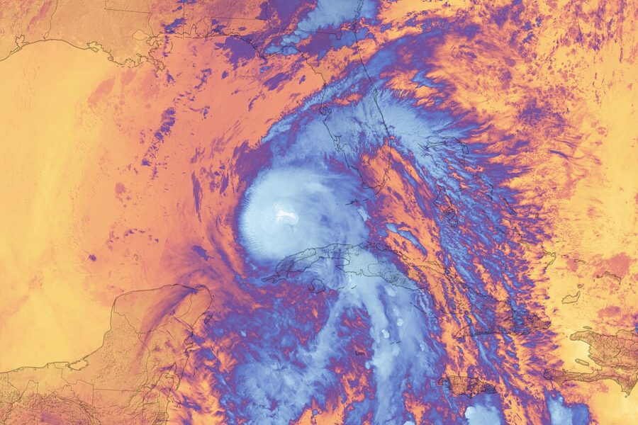
Late-season storms favor the west. Rafael crossed western Cuba as a Category 3 on November 6, 2024, Lisa came ashore in Belize on November 2, 2022, and Eta and Iota both hit Nicaragua’s Caribbean coast in November 2020. If a November trip is on the table, the eastern islands carry less risk than Cuba, the Caymans and the Yucatán.
Weighing Hawaii instead? The central Pacific runs its own season on the same dates; the best time to visit Hawaii covers how that one behaves.
Which islands get hit most
Location decides almost everything. This table counts hurricanes whose centers passed within about 70 miles (60 nautical miles) of each place from 1976 to 2025, from the same National Hurricane Center records. A pass that close usually brings damaging wind, though not always a direct hit.
| Place | Hurricanes within about 70 miles, 1976–2025 | Most recent |
|---|---|---|
| Tortola, British Virgin Islands | 14 | Dorian, 2019 |
| St. Thomas, U.S. Virgin Islands | 13 | Dorian, 2019 |
| St. Kitts | 12 | Tammy, 2023 |
| Antigua; St. Martin; Anguilla | 11 each | Tammy, 2023 |
| Havana, Cuba | 11 | Rafael, 2024 |
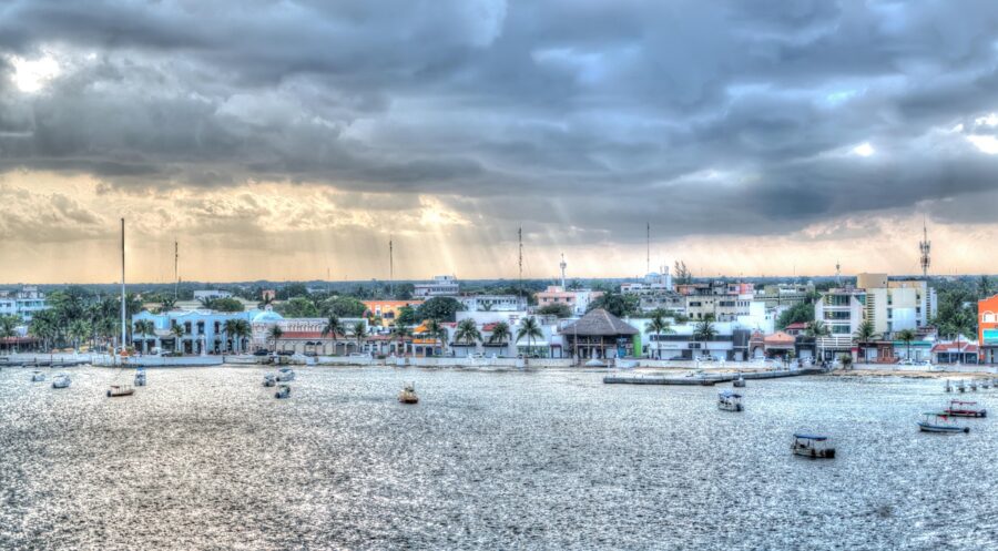
| Cancún and Cozumel, Mexico | 11 each | Helene, 2024 |
| San Juan, Puerto Rico | 10 | Dorian, 2019 |
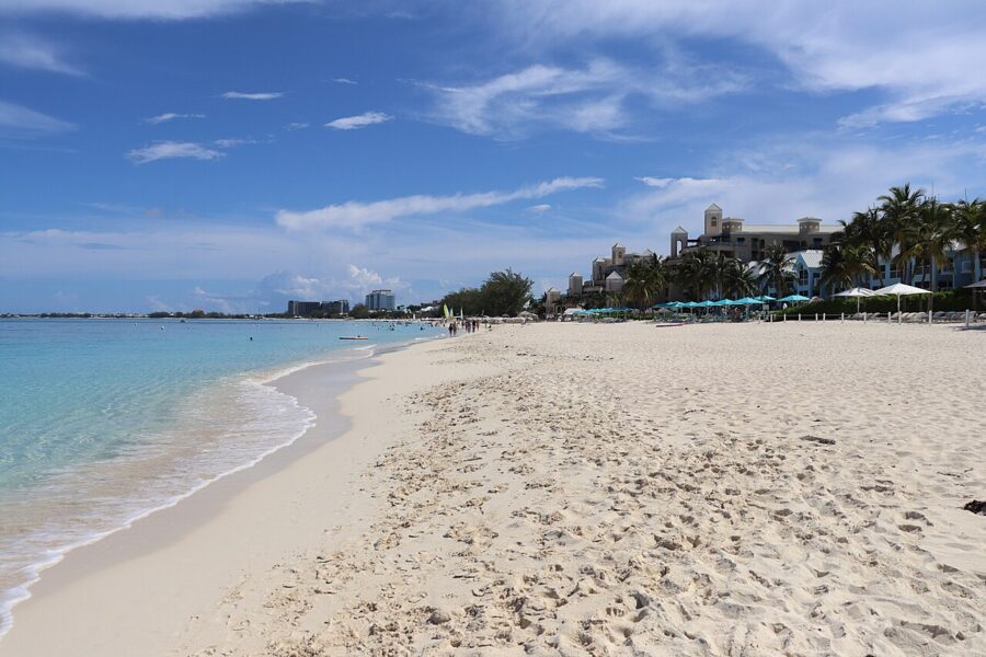
| Grand Cayman | 10 | Rafael, 2024 |
| Exuma, Bahamas | 10 | Melissa, 2025 |
| Nassau, Bahamas | 9 | Isaias, 2020 |
| Kingston, Jamaica | 9 | Melissa, 2025 |
| Guadeloupe | 9 | Tammy, 2023 |
| Providenciales, Turks and Caicos | 8 | Oscar, 2024 |
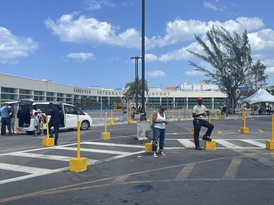
| Montego Bay, Jamaica | 7 | Melissa, 2025 |
| Punta Cana, Dominican Republic | 7 | Fiona, 2022 |
| Martinique; Dominica; St. Lucia | 5 each | Tammy, 2023; Tammy, 2023; Elsa, 2021 |
| Barbados | 4 | Elsa, 2021 |
| Grenada; Tobago | 3 each | Beryl, 2024 |
| Aruba; Bonaire; Curaçao | 1 each | Felix, 2007 |
| Trinidad | 0 | None |
The northeast corner: the Virgin Islands to Antigua
This is the busiest stretch of the Caribbean, where storms from off Africa arrive at full strength. Irma crossed Barbuda as a Category 5 on September 6, 2017, and two weeks later Maria hit Dominica and then Puerto Rico.
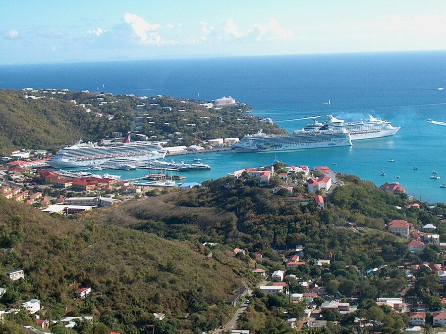
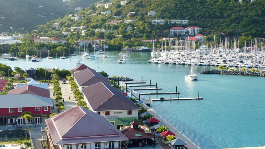
None of that makes these islands a bad choice in June, July or December. It makes them the islands where peak-season trips most need insurance bought at booking and a refundable room.
The west: Cuba, the Caymans and the Yucatán
The western Caribbean gets storms two ways: long-track Atlantic hurricanes that keep going west, and home-grown October and November systems. Grand Cayman’s ten passes include Ivan in 2004 and Rafael in November 2024.

The Bahamas, Turks and Caicos and the Dominican Republic
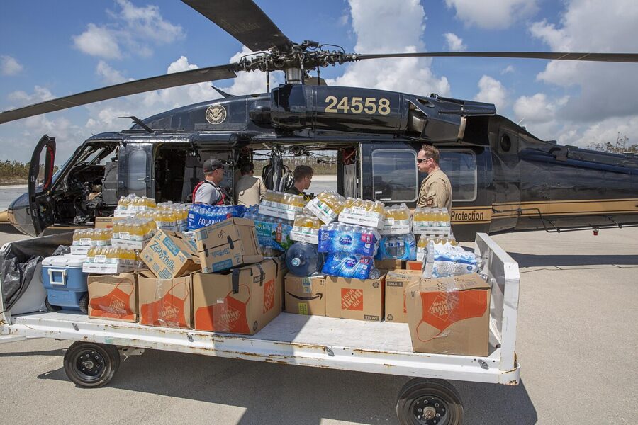
The Bahamas sit on the track storms take as they curve north toward Florida and the Carolinas. Dorian stalled over Abaco and Grand Bahama in September 2019 at Category 5 strength, and Melissa crossed the southeastern and central islands in October 2025. Nassau has had nine close passes since 1976.
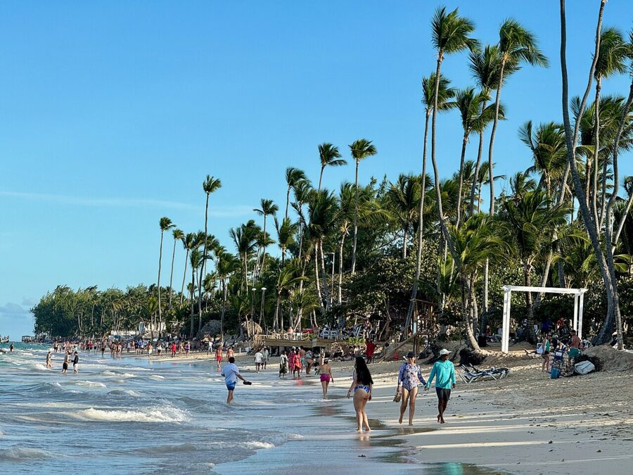
The Dominican Republic does better than its neighbors, partly because Hispaniola’s mountains tear storms apart. Punta Cana had seven close passes in 50 years, and the most recent hurricane landfall there was Fiona, a Category 1 that came ashore on the island’s eastern tip on September 19, 2022. September is the month to watch: five of Punta Cana’s seven came then.

Jamaica
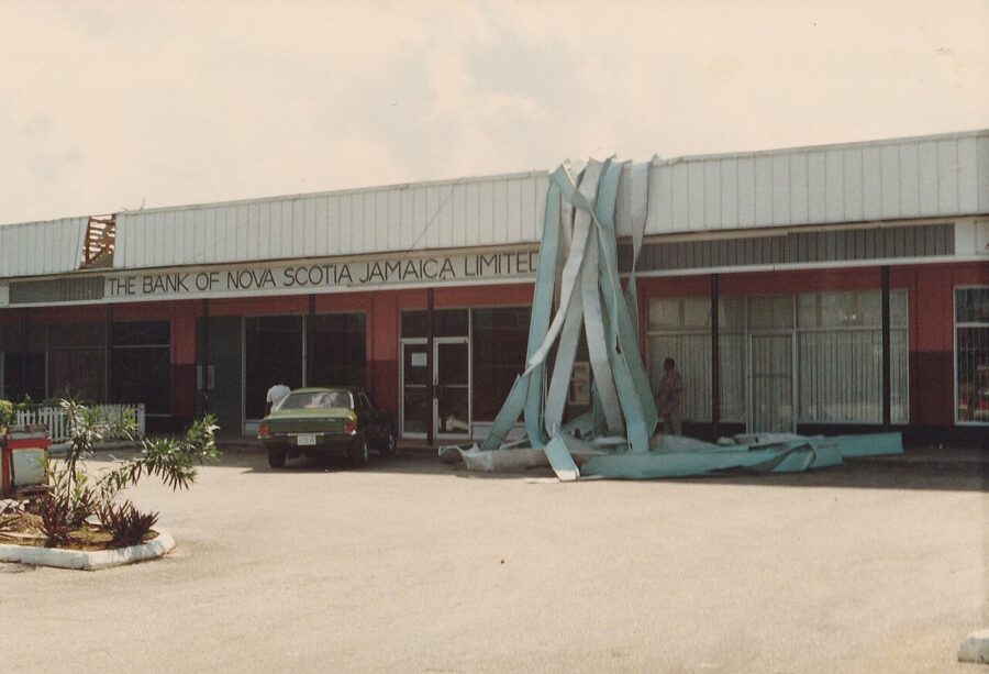
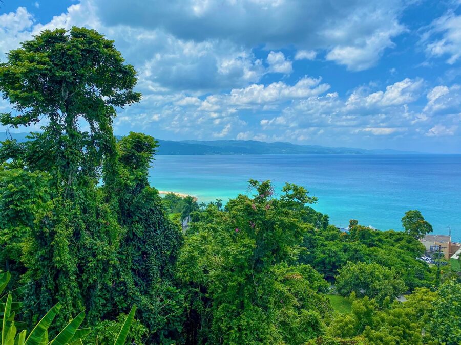
Jamaica gets grazed often and hit squarely only now and then, which made Melissa such a shock. Kingston counts nine close passes since 1976 and Montego Bay seven. Before 2025, the island’s worst modern landfall was Gilbert in September 1988.

Barbados and the Windward Islands
Barbados sits east of the main island chain, and most storms pass to its north. Four close hurricanes in 50 years is a low count, but it is not zero, and tropical storms reach it more often: Bret brought a tropical storm warning to the island in June 2023.
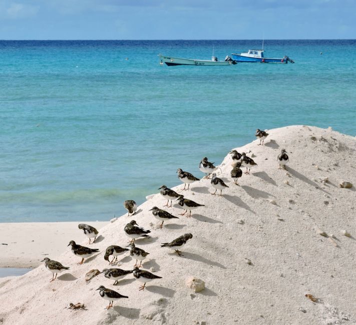
Grenada was long sold as “below the hurricane belt”, and Ivan put an end to that on September 7, 2004, passing over the island as a Category 3. Emily followed in July 2005, and Beryl hit its sister island Carriacou as a Category 4 on July 1, 2024. Three hurricanes in 50 years is still a light record. Light is not immune.
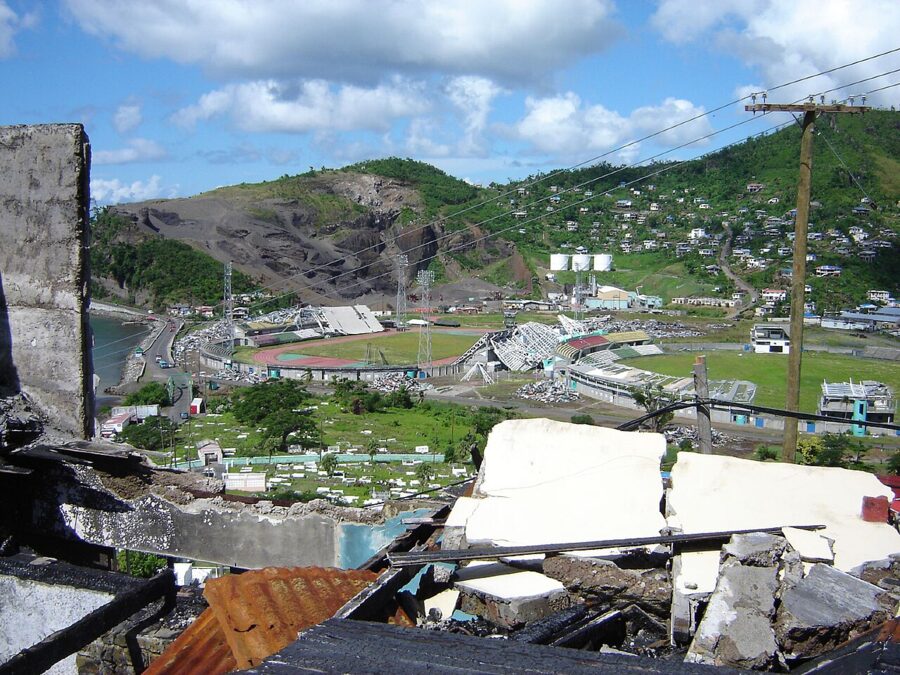

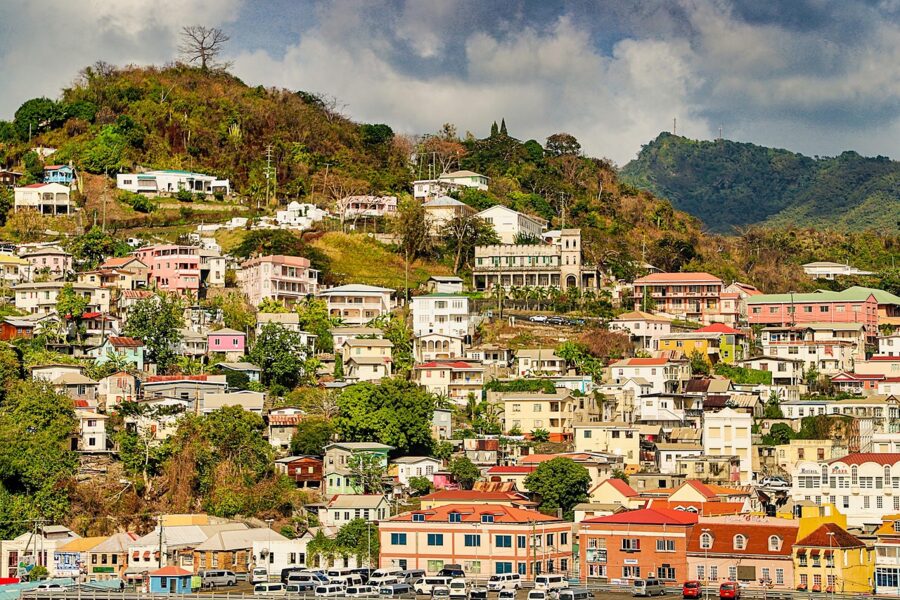
Aruba, Bonaire, Curaçao and Trinidad
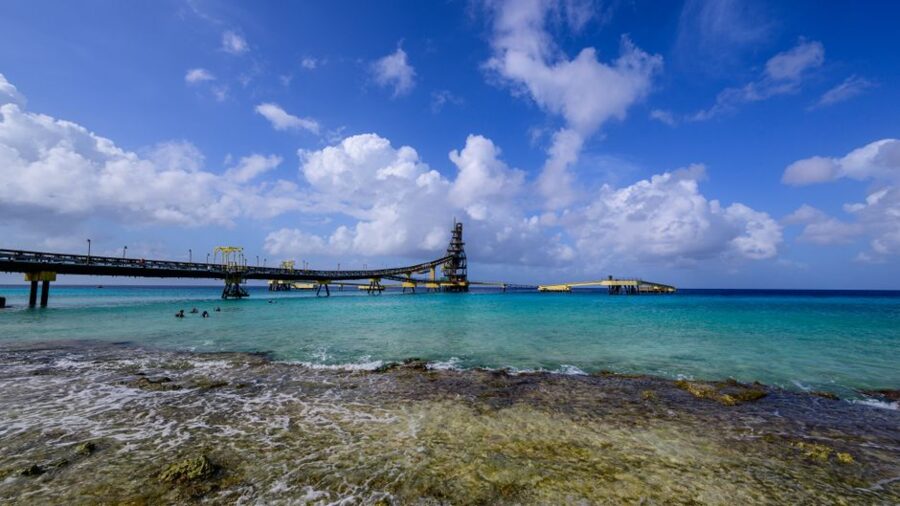
These are the safest bets in the Caribbean during hurricane season. They lie between about 10 and 13 degrees north, close to South America, where storms rarely form and rarely track. In 50 seasons, only Felix in September 2007 passed within about 70 miles of the ABC islands, about 50 miles north of Aruba as a Category 2, and no hurricane came that close to Trinidad.
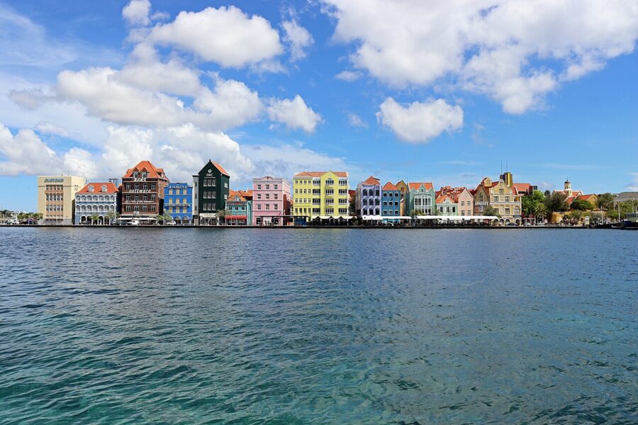

The exception is early-season tropical storms, which run unusually far south. Bret crossed Trinidad in June 2017, and Bonnie passed close to Trinidad, Aruba, Bonaire and Curaçao in late June 2022. They bring a day or two of heavy rain and wind, not a lost week.
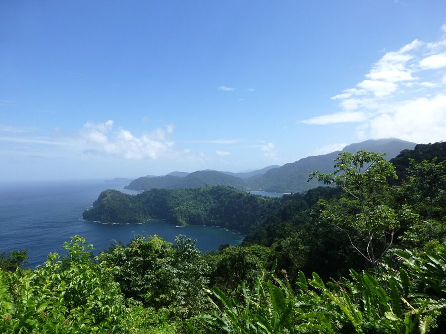

What changed in 2024, 2025 and 2026
2024: the earliest Category 5. Beryl formed on June 28, 2024, came ashore on Carriacou on July 1 with winds the National Hurricane Center puts at about 140 mph, and became the earliest Category 5 hurricane on record in the Atlantic. Carriacou lost almost all of its homes, and people died in Grenada and its dependencies. The lesson for travelers: a July trip to the southern Windwards is low-risk, not no-risk.
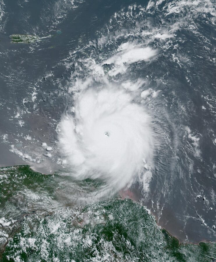
2025: Melissa and Jamaica. Melissa made landfall near New Hope in Westmoreland Parish on October 28, 2025, as a Category 5 with an estimated 185 mph winds and a central pressure of 892 millibars, one of the strongest landfalls the Atlantic has recorded. The National Hurricane Center’s final report, revised in May 2026, counts 45 deaths in Jamaica and 43 in Haiti, and cites a World Bank estimate of $12.2 billion in physical damage across Jamaica. It then crossed eastern Cuba as a Category 3.
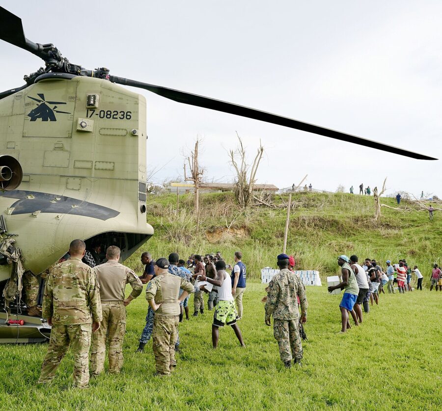
Jamaica’s tourism recovery has been fast but uneven. In March 2026, Tourism Minister Edmund Bartlett told a parliamentary committee the target was all 33,000 hotel rooms back in service by December 2026. If you are booking Jamaica for this winter, confirm your specific hotel is open, not just the island. The State Department’s Jamaica advisory, dated January 17, 2026, is Level 2 (exercise increased caution), lowered from the Level 3 it set after the storm.
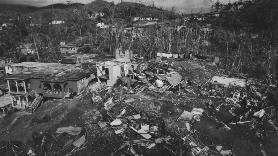
2026: a quiet year. NOAA’s outlook on May 21, 2026, called for a below-normal season (8 to 14 named storms, 3 to 6 hurricanes) because of a developing El Niño, which tends to shear storms apart.
It was quieter still. As of November 21, 2026, the Atlantic had produced 10 named storms and one hurricane, Isaias, which formed in the southern Gulf and came ashore near Destin, Florida, on October 9; no hurricane reached the Caribbean islands. One quiet year says nothing about the next, so the rules below still apply in 2027.
New for 2026: the National Hurricane Center’s forecast cone graphic now shows watches and warnings for inland areas of Puerto Rico and the U.S. Virgin Islands, not just the coast.
How storms are tracked, and what the warnings mean
The National Hurricane Center covers the basin at hurricanes.gov. Its Tropical Weather Outlook gives each disturbance a chance of forming within 48 hours and seven days. Once a storm forms, advisories come every six hours with a forecast cone. The cone shows where the center may go, not the size of the storm, and damaging wind and rain often reach well outside it.
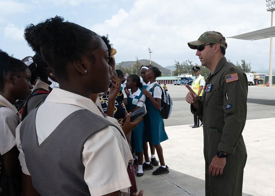
The warning terms are worth knowing exactly:
- Tropical storm watch: winds of 39 to 73 mph are possible within 48 hours.
- Tropical storm warning: those winds are expected within 36 hours.
- Hurricane watch: winds of 74 mph or more are possible; issued 48 hours before tropical-storm-force winds are expected to begin.
- Hurricane warning: hurricane winds are expected; issued 36 hours ahead, because preparations become difficult once the wind picks up.
On foreign islands, each government issues its own watches and warnings through its national weather service, such as the Meteorological Service of Jamaica, and the National Hurricane Center repeats them in its advisories. For Puerto Rico and the U.S. Virgin Islands, the National Hurricane Center issues them itself.
Storms weaken over land, over cooler water, in dry air and under strong wind shear (winds changing speed or direction with height). That is why the mountains of Hispaniola and Cuba take the edge off so many storms, and why Melissa dropped from Category 5 to Category 4 within hours of crossing Jamaica.
The rules that decide who pays
Most hurricane-season losses come from rules nobody read before booking.
Travel insurance: buy before the storm has a name
Insurers treat a named storm as a foreseeable event. Allianz Partners says plainly that if you buy a policy after a storm is named, it will not cover claims from that storm, and most travel insurers work the same way. Buy at booking, not when the forecast turns.
Read what a policy counts as a covered reason. Allianz covers cancellation if your hotel is “uninhabitable”, which it defines as damage a reasonable person would find makes the accommodation unfit to use, not a closed pool or a room swap. It also covers cancellation when your carrier cannot get you to your destination for at least 24 consecutive hours because of the storm. Being nervous about a forecast is not a covered reason; only “cancel for any reason” upgrades cover that, at extra cost and usually only if bought soon after your first trip payment.
Flights: the refund rule
Under the Department of Transportation’s refund rule, which took full effect on October 28, 2024, an airline that cancels your flight for any reason, weather included, owes you a refund if you decline rebooking or a voucher. The same applies if an international flight leaves or arrives six hours or more off schedule (three hours for domestic). The refund must be automatic, in your original form of payment, within seven business days for credit cards.
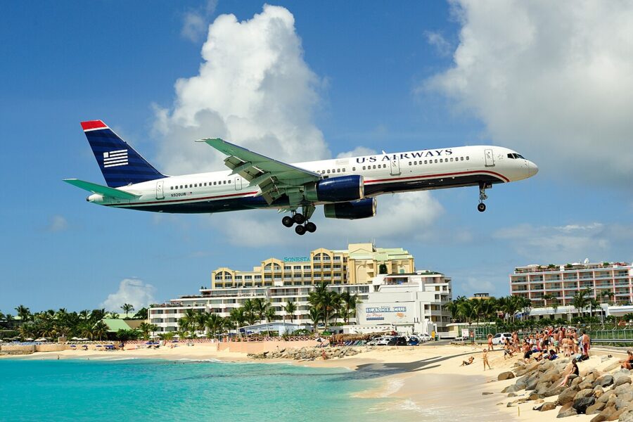

What the rule does not give you: hotel rooms and meals. The airline commitments on the department’s dashboard cover delays and cancellations within the airline’s control, and weather is not. When a storm threatens, US airlines usually post a travel waiver on their travel-alerts pages letting you move your dates without a change fee; take it early, before seats on the last flights out are gone.
Cruises: the contract lets the ship go elsewhere
Cruise ships move away from storms, which makes a cruise one of the safer ways to see the Caribbean in season. The trade-off is in the ticket contract. Carnival’s, for one, lets the line change or skip any port “for any reason whatsoever”, naming hurricanes, and says it owes no compensation beyond its own change-of-itinerary policy. An eastern Caribbean cruise can become a western one, or gain sea days.

Hotels and resorts
Some Caribbean resorts and tour operators publish hurricane policies, such as a credit or replacement stay if an official hurricane warning disrupts your dates. Terms vary and change yearly, so get the current policy in writing and check what triggers it. A refundable rate is often worth more than any guarantee.
If a storm heads your way
Before you go, enroll in the State Department’s Smart Traveler Enrollment Program (STEP), which is how the embassy reaches US citizens in a crisis. Save your resort’s hurricane plan, your airline’s app and the national weather service for your island. Pack any medication for a week longer than your trip.
If a watch goes up for your island, decide that day. Leaving early is almost always better than riding a storm out, and flights fill quickly once a warning is issued and airports close before the strongest winds arrive. Don’t wait for an evacuation flight: the State Department says it arranges transport only in rare cases when commercial options are gone, and US law makes those evacuations reimbursable, so you would be billed later.
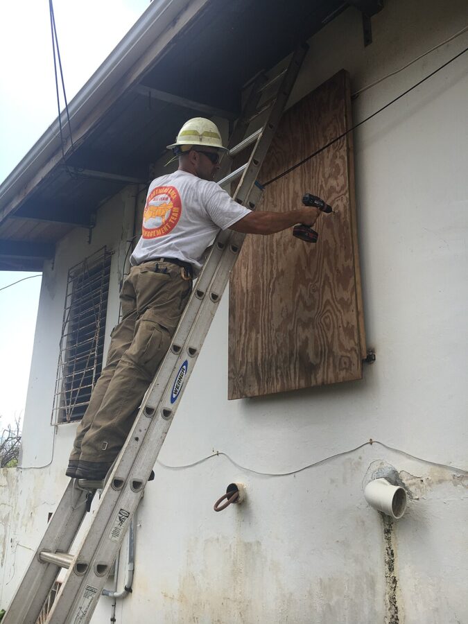
If you can’t leave, follow the hotel’s instructions, which usually means moving to an interior room. Fill bottles and the bathtub with water, charge every device and keep cash, since card machines fail when the power goes. After the storm, keep away from floodwater: Jamaica declared a health emergency over a leptospirosis outbreak after Melissa.
Expect days, not hours, before you can fly out after a direct hit, and longer if the airport itself is damaged.
The best months and places to go
June and the first half of July are the lowest-risk months of the season and usually cheaper than winter; they’re good months for almost any island. Late November is the other window, best spent in the eastern Caribbean, since late storms favor the west. December through May sits entirely outside the season.
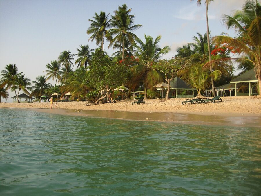
For the August to October peak, go south: Aruba, Bonaire, Curaçao, Trinidad and Tobago, then Barbados and Grenada. If your heart is set on the Virgin Islands or the Bahamas in September, book refundable, insure at booking and accept the small chance of a lost trip. A wedding or honeymoon with a fixed date is the case for the southern islands.
For broader ideas by month, see the guides to places to travel in July, places to travel in August, the best places to travel in September and the best places to travel in October.
Caribbean hurricane season: the short answer
- When: June 1 to November 30, peaking around September 10. Mid-August to mid-October carries most of the risk.
- Worst months: September, then October and August. June has had no hurricanes in the region since at least 1976.
- Hit most: the Virgin Islands, St. Martin, Anguilla, St. Kitts and Antigua; western Cuba, Grand Cayman, Cancún and Cozumel; the Bahamas.
- Hit least: Aruba, Bonaire, Curaçao and Trinidad, then Tobago, Grenada and Barbados.
- Insurance: buy it when you book. A storm that already has a name is not covered.
- Flights: a cancelled flight means a full refund if you decline rebooking, but no hotel or meals for weather.
- Last tip: once a storm is named and heading your way, call the airline the same day, while seats on the earlier flights out are still there.