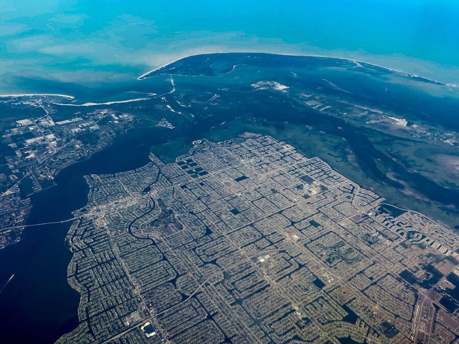
The best things to do in Cape Coral are on or beside the water: rent a boat or a kayak and run the canals out to the Caloosahatchee River, walk the mangrove boardwalk at Four Mile Cove, and go looking for the burrowing owls that live on the city’s empty lots. Add Sun Splash Family Waterpark when it is open, a rum tour at Wicked Dolphin, and day trips to Sanibel Island and Fort Myers Beach, and two or three days fill easily.
Cape Coral is not a resort town with a beachfront strip. It is a planned city of about 200,000 people, laid out from the late 1950s around more than 400 miles of canals. Expect long straight roads, waterfront houses with boat lifts, a few good riverfront parks and a lot of wildlife, and use the city as a quieter base for the barrier islands across the bay.
Hurricane Ian in 2022 and Hurricane Milton in 2024 hit this coast hard, and some parks, piers and beach car parks are still being rebuilt. Everything below is as of November 2026.

On this page
- Where Cape Coral is and how to get there
- Get out on the canals and the river
- The burrowing owls
- Four Mile Cove Ecological Preserve
- Sun Splash Family Waterpark
- Riverfront parks, and what the storms changed
- Museums, rum and a night at the theater
- Day trips: Sanibel, Fort Myers Beach and Matlacha
- After Ian and Milton: what is open now
- Where to eat and drink
- Festivals and events by month
- When to go, and how long to stay
- A two-day plan
- Getting around and practical notes
Where Cape Coral is and how to get there
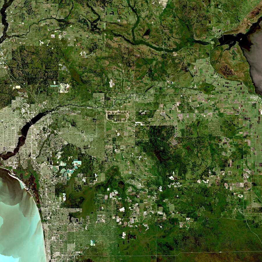
Cape Coral sits on the west bank of the Caloosahatchee River in Lee County, on Florida’s southwest Gulf coast, across the river from Fort Myers. Its southern tip faces San Carlos Bay, with Sanibel Island beyond, and Matlacha and Pine Island lie to the west.
Flying in
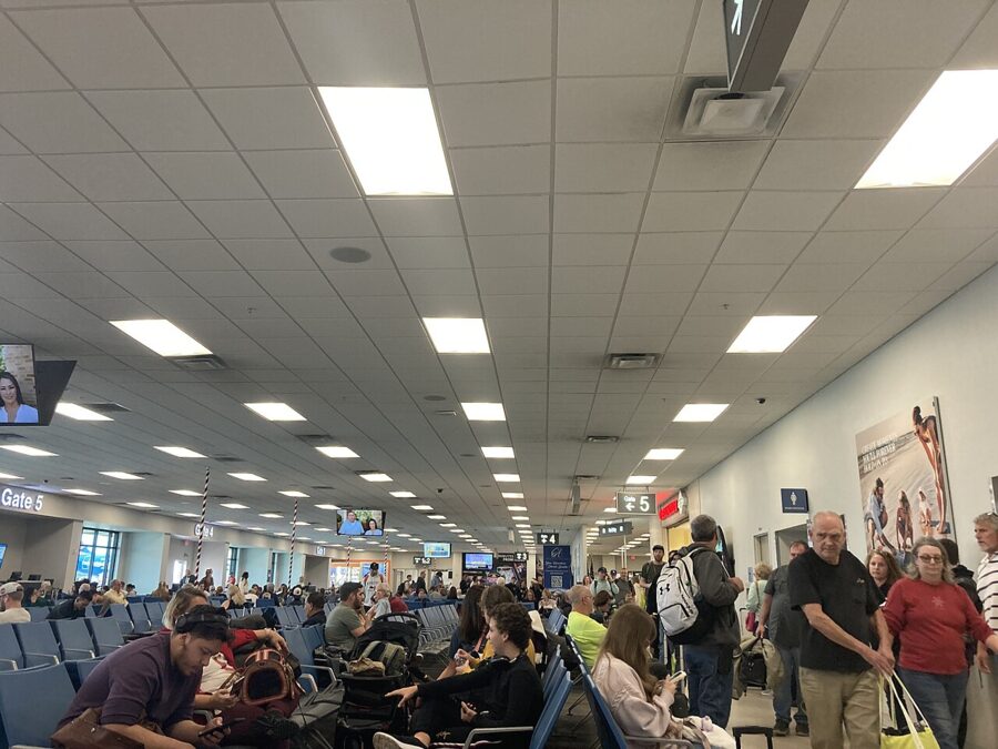
The nearest airport is Southwest Florida International (RSW), southeast of Fort Myers, about 14 miles from South Cape and roughly 30 minutes by car in light traffic. Punta Gorda Airport (PGD), about an hour north, is served only by Allegiant and Sun Country, which between them fly nonstop to more than 50 destinations, according to the airport. Tampa International is a little under three hours away by road.

Driving in
Rough driving times to South Cape, as routing estimates in light traffic:
| From | Distance | Typical drive |
|---|---|---|
| Southwest Florida International Airport (RSW) | 14 miles | 30 minutes |
| Punta Gorda Airport (PGD) | 32 miles | 55 minutes |
| Naples | 35 miles | 1 hour |
| Sarasota | 83 miles | 1 hour 45 minutes |
| Tampa | 132 miles | 2 hours 45 minutes |
| Miami | 157 miles | 3 hours 15 minutes |
| Orlando | 163 miles | 3 hours 45 minutes |
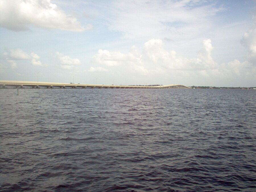
From I-75, most drivers cross the river on the Midpoint Memorial Bridge, which carries Colonial Boulevard over into Veterans Parkway, or on the Cape Coral Bridge at the end of College Parkway. From the north, Pine Island Road (State Road 78) leads into the top of the city. Both bridges carry a toll.
A city built from a sales brochure
In 1956 the brothers Jack and Leonard Rosen bought a 1,724-acre tract called Redfish Point for $678,000, according to the Cape Coral Museum of History. Their company, founded in 1957 as Gulf Guarantee Land and Title and later known as the Gulf American Land Corporation, was by 1967 the fourth-largest publicly traded corporation in Florida, with more than 500,000 acres for sale. The new city was promoted as having more canals than Venice, and voters approved incorporation on August 11, 1970, when about 10,000 people lived here.
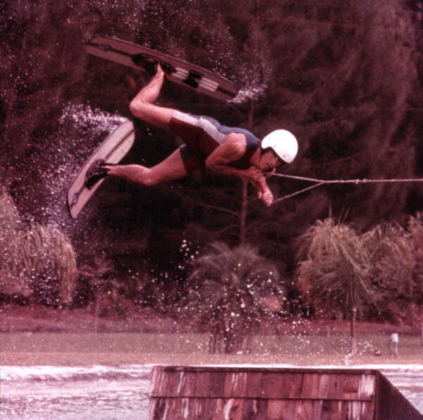
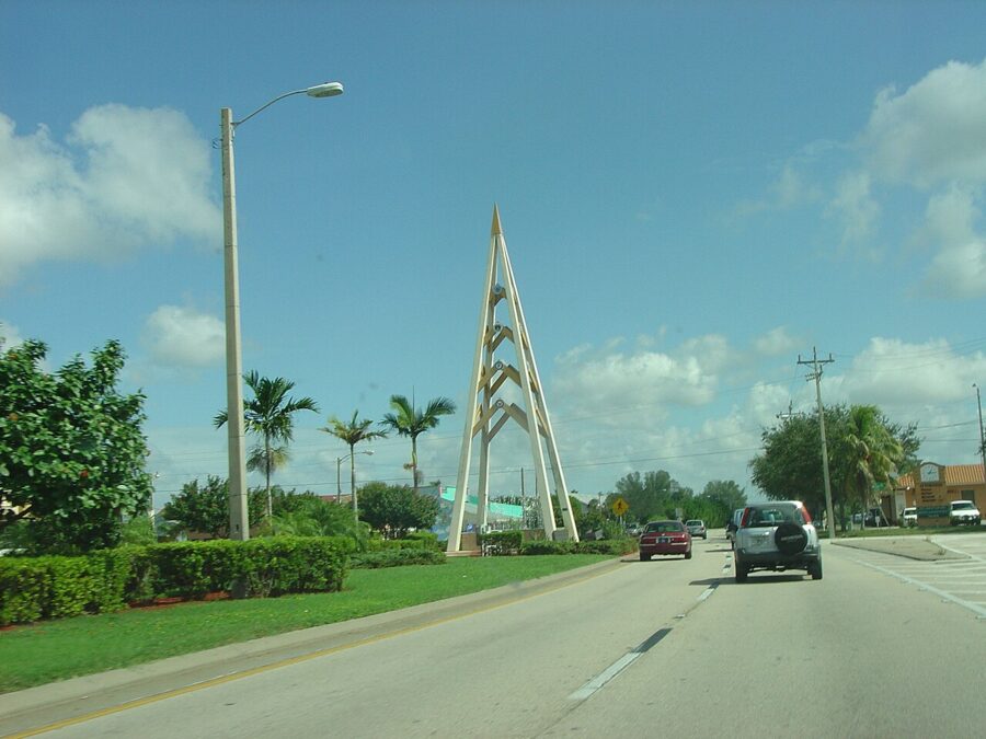
That history explains the look of the place: there is no old downtown. The nearest thing is the strip along Cape Coral Parkway and SE 47th Terrace in South Cape.
Get out on the canals and the river
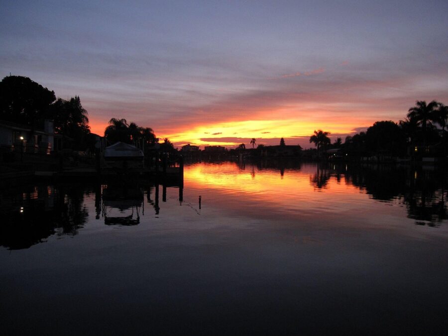
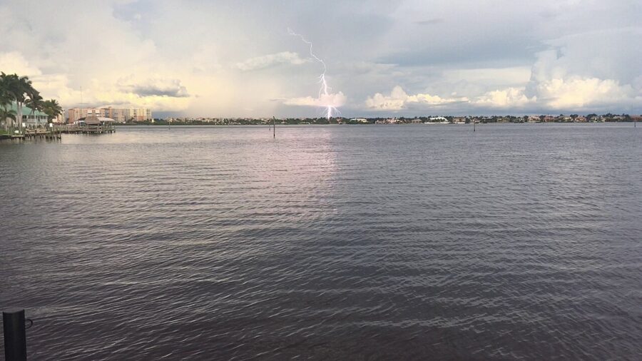
Many of the canals are saltwater and connect to the Caloosahatchee and the Gulf; others are freshwater and closed off from the sea. From the saltwater side you can idle out to the river, cross to Sanibel or run up Matlacha Pass, with dolphins and manatees for company.
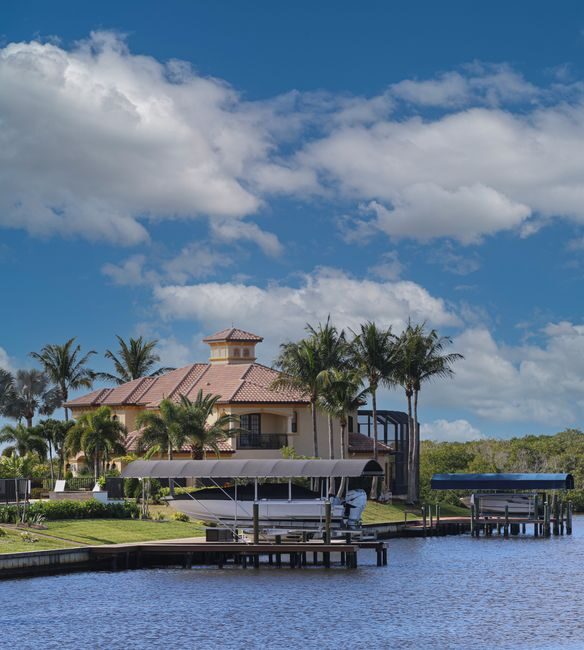
A rental house on a Gulf-access canal often comes with a dock, and sometimes a boat. Boat rental companies and fishing and sightseeing charters operate across the city, including from the marinas at Cape Harbour and Tarpon Point. If you have never handled a boat in tidal water, take a charter: the canals are easy, but the river and the bay have shoals and big-boat wakes.
Florida requires anyone born on or after January 1, 1988 to complete a boating safety course, a rule the city repeats on its own boating page. Ask any rental company how it handles this before you book, and ask where the manatee speed zones are.
Kayaking and paddleboarding
The city lists kayak launch points at its parks, and parking at them is free unless you have a trailer. Sirenia Vista Park, at Ceitus Parkway and Old Burnt Store Road in the northwest, launches onto the Calusa Blueway paddling trail toward Matlacha. The city says manatees are most common there in November through February.
Other launches include Rosen Park and Horton Park for the river and Tropicana Park for the North Spreader Waterway. The Four Mile Cove launch, by the preserve’s seasonal Kayak Shack, has been closed at times for storm repairs, so call the city’s parks office first.

The burrowing owls
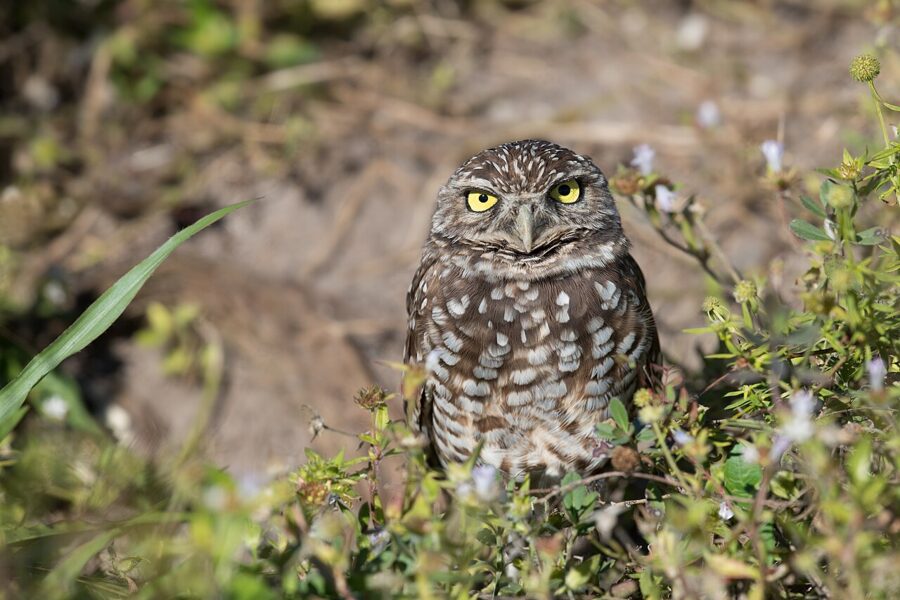
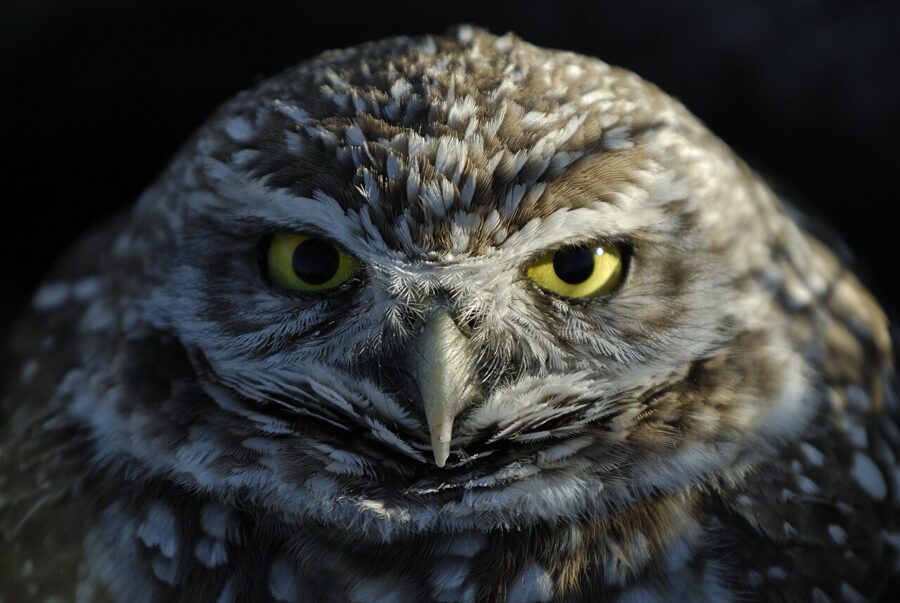
Cape Coral has Florida’s largest known population of burrowing owls, a small, long-legged owl the state lists as threatened. Volunteers counted a record 7,828 owls and 6,792 burrows in the city’s 2026 census, up from 7,008 owls in 2025, according to Cape Coral Friends of Wildlife. As the empty lots they nest in fill with houses, their habitat shrinks.
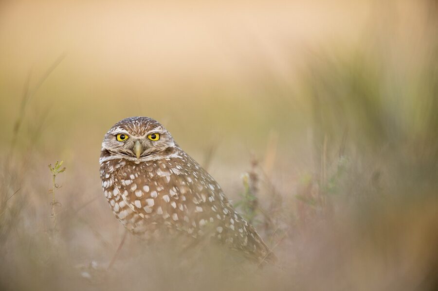
You do not need a guide. Drive slowly through neighborhoods with plenty of empty lots and look for PVC pipe stakes; volunteers mark every known burrow away from homes this way, and an owl is often standing at the entrance or on a nearby perch. The city lists Saratoga Lake Park, at 170 SE 4th Terrace, as a place to see them. They are active by day, and the light is best for photos in the first and last hour.
The rules are simple and they matter, because harassing a burrowing owl breaks state and federal law. Stay at least 33 feet from a nest, which is the distance both the city and Friends of Wildlife give. If an owl starts bobbing its head, you are already too close. Never feed them, and never park on a resident’s lawn or driveway to get a better look.
The nesting season runs from February 15 to July 10. About ten days after hatching, chicks start appearing at the burrow entrance, which is the most rewarding time to look and also the time to keep visits short.

The 25th Burrowing Owl Festival is set for Saturday, February 27, 2027, from 10am to 4pm at Rotary Park Environmental Center, with a $5 suggested donation for anyone 12 or older. Friends of Wildlife also marks Ground Owl Day on February 2, 2027, at the Pelican Baseball Complex.
Four Mile Cove Ecological Preserve
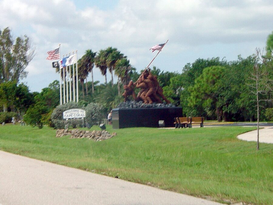
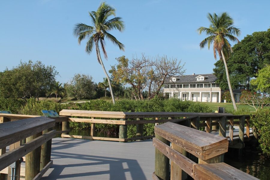
This is the best short nature walk in the city: 365 acres of brackish mangrove wetland on the Caloosahatchee, just north of Veterans Parkway, with a boardwalk and two observation piers. The city lists a 6,600-foot nature trail, a visitor center, picnic areas and a Veterans Memorial Area by the car park. Allow an hour or two.
- Hours: daily, 8am to dusk, year-round.
- Address: 2500 SE 24th Street.
- Rules: no dogs on the trails, and no jogging, biking or skating.
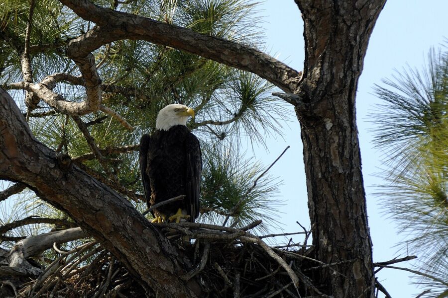
- What you might see: eagles, ibis, herons and other wading birds, migratory songbirds in season, raccoons and snakes.
The boardwalk took storm-surge damage, and the city closed it, the piers, the parking, the restrooms and the visitor center from August 17 to September 30, 2026 for repairs. After any storm, check the city’s parks news page before going. Use the visitor center restrooms before setting out, and bring water and insect repellent.
Sun Splash Family Waterpark
Sun Splash is the waterpark on Lake Kennedy, at 500 W Lake Kennedy Drive, and the city’s biggest family attraction. It has a quarter-mile lazy river, tube and body slides, a play structure for small children, and a new 200-person wave pool, the Ultimate Surf & Social, in its first full year in 2026. Allow half a day.
It is seasonal. In 2026 it opened for spring break, ran daily into early April, then on a reduced schedule toward late May before summer. In autumn it opens only on selected days, 11am to 5pm, and the park’s calendar shows it closed from November 30, 2026 to January 3, 2027.
- Tickets: sold online and at the gate. The online store listed an autumn day ticket at $17.99 in fall 2026; the park did not publish its gate prices online when checked. Children 2 and under are free.
- Season passes: passes covering the rest of 2026 and the whole 2027 season were on sale from $49.99 (Silver) and $69.99 (Gold) as of November 2026.
- Height rules: most of the bigger slides need riders 48 inches or taller; the twin Electric Slide and Power Surge take riders from 36 inches with an adult.
- Food: no outside food or coolers (sealed water bottles and medically necessary food are allowed).
- Parking: free.
With small children and one hot afternoon, this is the place. Teenagers expecting Orlando-size rides will find it modest.
Riverfront parks, and what the storms changed
Yacht Club Community Park, on the river along Driftwood Parkway, shows how long recovery takes. Hurricane Ian closed it in 2022, and the fishing pier, pool and boat ramps have not come back. The small beach reopened in November 2023 and the city lists it as open sunrise to sunset, but the rest of the 16.6-acre park is a construction site, with the new pier still in design and permitting as of 2026.
The Boathouse Tiki Bar & Grill here burned in October 2024 and was demolished in September 2025; the city has agreed for it to return. Go for the beach and the river view, not a full day out.
Jaycee Park, at 4215 SE 20th Place, is the better riverfront stop right now. It reopened on April 30, 2026 after a full rebuild, with a lit boardwalk and river overlook, a 5,000-square-foot splash pad, an inclusive playground, beach volleyball courts and a bandshell. An evening walk on the boardwalk is the best riverside stroll in town.
Rotary Park Environmental Center
Rotary Park, at 5505 Rose Garden Road in the southwest, is 97 acres of ponds, wetlands and uplands, recognized as a stop on the Florida birding trail. It is open Monday to Saturday, 8am to 4pm, and the Tom Allen Memorial Butterfly House is open on free guided tours on Monday, Friday and Saturday at 10:30am, lasting about an hour. The separate Glover Bight Boardwalk is at 5720 Rose Garden Road; its observation tower, like the park’s trail tower, was closed for repairs as of November 2026.

Yellow Fever Creek Preserve, new in 2026
The newest addition is Yellow Fever Creek Preserve, 184.7 acres of pine flatwoods, oak hammock, marsh and cypress in the northeast at 3115 Del Prado Boulevard North. The city set its public opening for October 30, 2026, with nature trails, a fishing pond, disc golf, picnic pavilions and overnight camping. Hours are 8am to 8pm Monday to Thursday and 8am to 5pm Friday to Sunday; its environmental center had not yet opened.
Museums, rum and a night at the theater
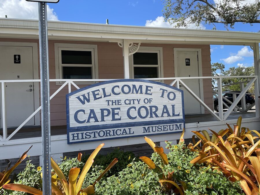
Cape Coral Museum of History, 544 Cultural Park Boulevard, covers the city’s story from the Rosen brothers’ land company on, in three buildings and three garden areas. It is open Wednesday to Friday 11am to 4pm and Saturday 10am to 2pm. Admission is $10 for adults, $5 for seniors 62 and over and for military with ID, $3 for students and free for children 5 and under. Allow an hour.

Wicked Dolphin Distillery, 131 SW 3rd Place, is a rum distillery that runs free tours of about 45 to 60 minutes on Tuesday, Thursday, Friday and Saturday, ending with a free guided tasting for anyone 21 or over with photo ID. Children can join the tour but not the tasting. Reservations are required; the shop is open Monday to Friday 9am to 5pm and Saturday 11am to 5pm, closed Sunday.
Cultural Park Theatre, 528 Cultural Park Boulevard, is a community theater staging plays and musicals, usually at 7pm with 3pm matinees; its 2026-27 season includes Next to Normal in late January and Finding Neverland in March. Tickets are non-refundable.
Day trips: Sanibel, Fort Myers Beach and Matlacha
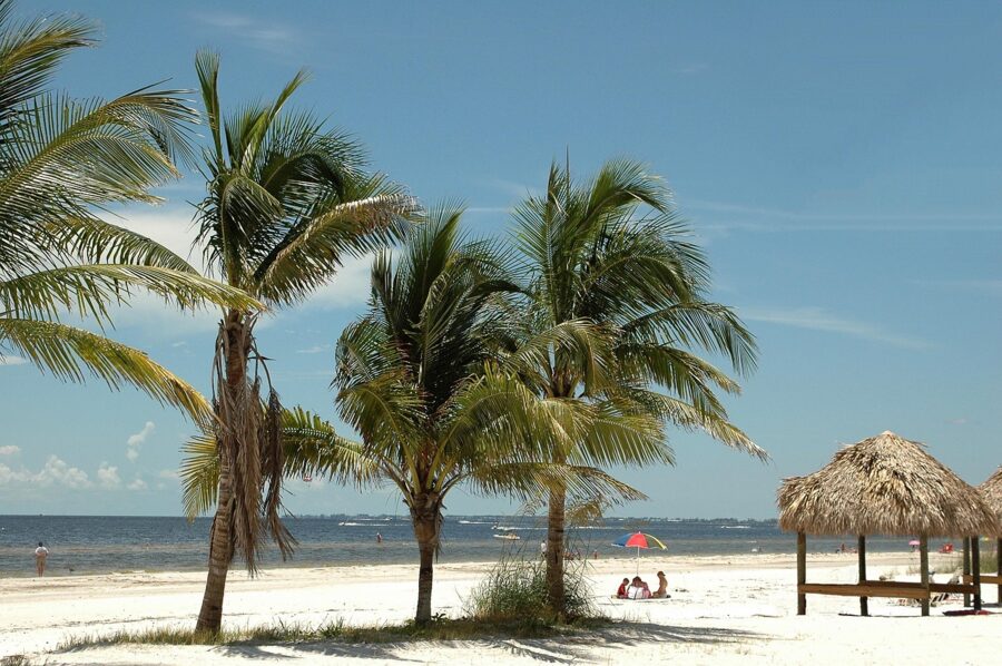
Cape Coral has no Gulf beach of its own. Both big beach destinations are within about 45 minutes in normal traffic, both were hit hard by Hurricane Ian, and both are open.
Sanibel Island
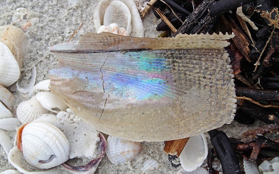
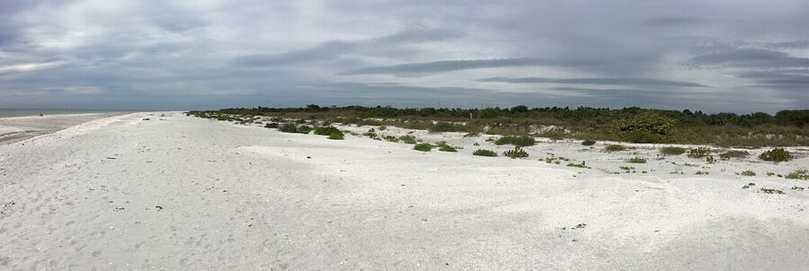
The island is 12 miles long, with more than 25 miles of shared-use paths, and it is famous for shells: the Gulf beaches at Bowman’s Beach and Blind Pass are the usual places to look, best at early-morning low tide. You reach it over the Sanibel Causeway from Punta Rassa.
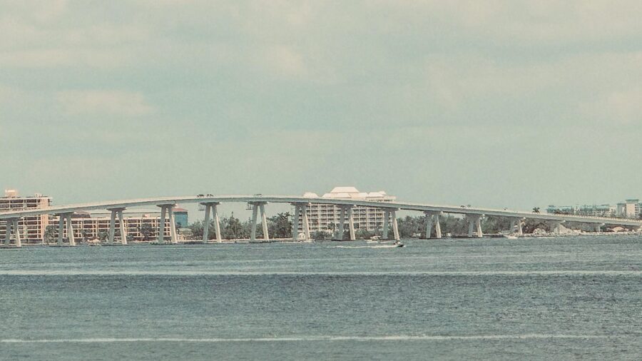
- Causeway toll: $6 for a car with a transponder; $6 plus a $3 administrative fee if billed by license plate (Lee County rates as of November 2026).
- Beach parking: $5 an hour, around the clock, at Sanibel’s city beach parks, paid through the city’s mobile system. Lighthouse Beach Park has 162 spaces.
- Pier: the Sanibel Fishing Pier reopened on November 18, 2026, after more than four years closed since Ian.
- Debris: the city still warns of buried storm debris on the shoreline and in the water. Wear water shoes.

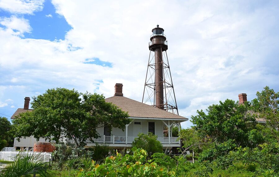

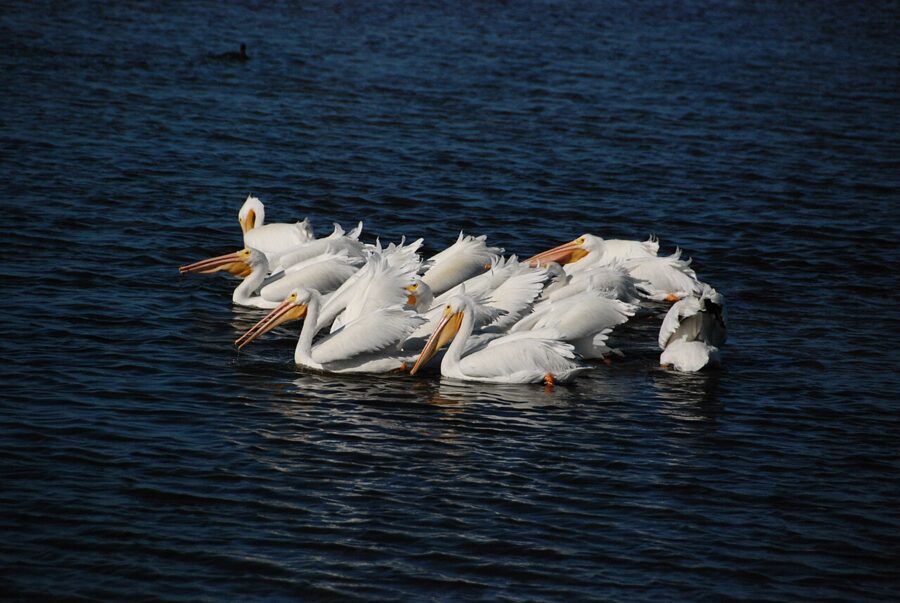
Leave time for the J.N. “Ding” Darling National Wildlife Refuge, 6,400 acres of mangrove on the bay side. Its Wildlife Drive costs $10 per vehicle and is closed every Friday, all year; from December through February it runs 7am to 5:30pm. The visitor center is free and open 9am to 4pm, except Fridays and federal holidays.


Fort Myers Beach
Fort Myers Beach, on Estero Island, took the worst of Ian. The National Hurricane Center’s report records 10 to 15 feet of storm surge above ground level on the island, and counts 5,369 buildings destroyed across Lee County. Rebuilding is still going on, but the county’s visitor bureau says nearly all the beaches are open.
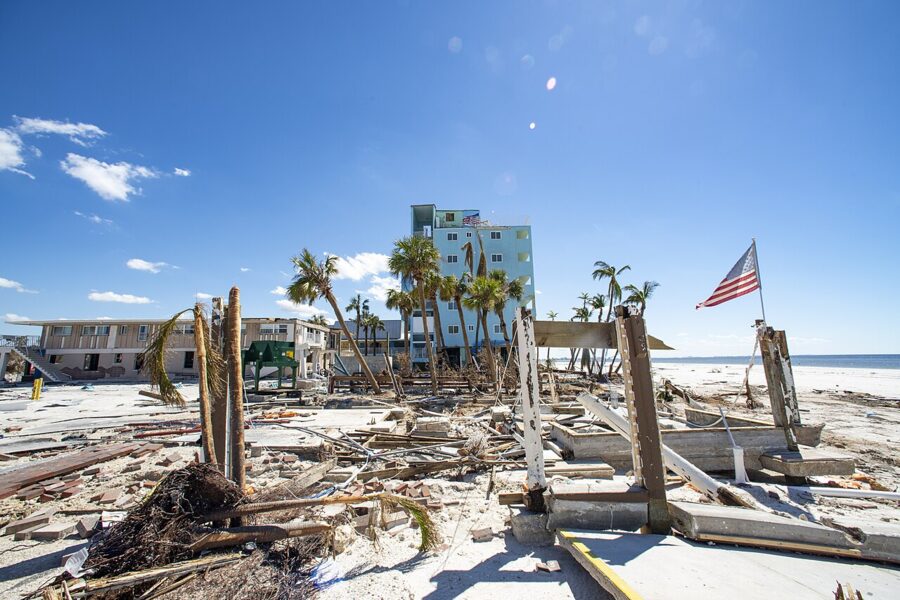

Parking is the catch. Since September 8, 2026, the car parks at Lynn Hall Memorial Park and Bowditch Point Park have been closed for restoration, though both beaches stay open. The county’s visitor bureau suggests parking off the island at 11101 Summerlin Square Drive, where a trolley runs to the beach every half hour, or using town lots near Estero Boulevard and Old San Carlos Boulevard.
On the island, the Mound House, a museum in the island’s oldest standing building on a Calusa shell mound, runs a free guided beach walk every Tuesday at 9am.

Matlacha and Pine Island
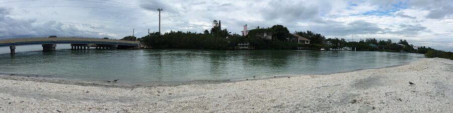
West of the city, Pine Island Road crosses to Matlacha, a small island strip of painted art galleries, seafood markets and waterside restaurants, then continues to Pine Island. It is about 25 minutes from South Cape and makes an easy half day, especially for lunch on the water.

After Ian and Milton: what is open now
Hurricane Ian made landfall on Cayo Costa, just northwest of Cape Coral, on September 28, 2022, as a category 4 storm with 150 mph winds, according to the National Hurricane Center’s report. Its surge reached 6 to 9 feet above ground in Cape Coral, Pine Island and the mouth of the Caloosahatchee, and more on the islands. The report counts 36 of the storm’s 41 surge deaths in Lee County.
Hurricane Milton came ashore on Siesta Key, near Sarasota, on the evening of October 9, 2024, as a category 3. Lee County, south of the landfall, still saw 4 to 6 feet of surge along its coast and up the Caloosahatchee.
| Place | Status as of November 2026 |
|---|---|
| Yacht Club Community Park | Beach open sunrise to sunset; pier, pool, boat ramp and restaurant still being rebuilt |
| Jaycee Park | Reopened April 30, 2026 after a full rebuild |
| Four Mile Cove Ecological Preserve | Boardwalk repairs scheduled to finish September 30, 2026 |
| Rotary Park, Glover Bight | Park open; observation towers closed for repairs |
| Sanibel Fishing Pier | Reopened November 18, 2026 |
| Sanibel beaches | Open; buried debris warnings remain |
| Fort Myers Beach | Beaches open; Lynn Hall and Bowditch Point car parks closed since September 8, 2026 |
You may hear residents mention the “50 percent rule”. It comes from the National Flood Insurance Program: if repairing a flood-zone building costs half or more of its market value, the whole building must meet current flood rules, usually by being raised.

Where to eat and drink
Eating out here is mostly casual: seafood, tiki bars and diners. The waterfront clusters worth seeking out are Cape Harbour and Tarpon Point in the far south. Every place below was trading as of November 2026.
Breakfast and coffee
- Mel’s Diner, 1331 Pine Island Road NE: a diner on the road out toward Matlacha.
- The French Press, 5789 Cape Harbour Drive: coffee and breakfast at the Cape Harbour marina.
- The Perfect Cup, 4548 Pine Island Road, Matlacha: a breakfast stop on the island strip.
Seafood
- Lobster Lady Seafood Market, 1715 Cape Coral Parkway W: a fish market and restaurant with daily specials, among them a Sunday New England lobster bake listed at $45; weekend breakfast runs 9am to noon.
- Fish Tale Grill by Merrick Seafood, 1229 SE 47th Terrace: a seafood grill from Merrick Seafood, in the middle of South Cape.
On the water
- Rumrunners, 5848 Cape Harbour Drive: a large waterfront restaurant on the Cape Harbour marina with live entertainment every day; the bar opens at 11am and the kitchen at noon.
- Fathoms Restaurant & Bar, 5785 Cape Harbour Drive: a second option on the same marina.
- The Nauti Mermaid Dockside Bar & Grill, 5951 Silver King Boulevard: dockside drinks at Tarpon Point.
- Blue Dog Bar & Grill (4597 Pine Island Road), Yucatan Waterfront Tiki Bar and Grill (4875 Pine Island Road) and Miceli’s Restaurant (3930 Pine Island Road): three Matlacha choices for lunch by the water.
Dinner and drinks in South Cape
- Monarca’s Authentic Mexican Cuisine Bar & Grill, 1604 SE 46th Street: a large Mexican restaurant and bar in South Cape.
- Ford’s Garage, 1719 Cape Coral Parkway E: burgers and a vintage Ford theme, open 11am to 10pm Sunday to Thursday.
- Nevermind Awesome Bar and The Hop, 927 Cape Coral Parkway E: a bar and grill in the South Cape strip.
- Keg & Cow, 2384 Surfside Boulevard: a brewpub on the west side.
Festivals and events by month
The calendar is busiest in winter, and most city events are free.
| When | Event | Where |
|---|---|---|
| Every Saturday, 8am to 1pm | Cape Coral Farmers Market | Club Square, SE 47th Terrace and SE 10th Place |
| December 19, 2026, 4pm to 9pm | Holiday Boat-a-Long, decorated boats on the Bimini Basin | Four Freedoms Park |
| December 31, 2026 | New Year’s Eve celebration (free) | SE 47th Terrace and SE 10th Place |
| January 9 and 10, 2027 | 42nd Cape Coral Art Festival, 200-plus artists (10am to 5pm Saturday, 10am to 4pm Sunday) | Cape Coral Parkway |
| February 2, 2027 | Ground Owl Day | Pelican Baseball Complex |
| February 27, 2027, 10am to 4pm | 25th Burrowing Owl Festival ($5 suggested donation, 12 and up) | Rotary Park Environmental Center |
| Around July 4 | Red, White & BOOM, the city’s Independence Day celebration; 2027 details not yet announced | Check the city’s events page |
When to go, and how long to stay
The best months are November through April: warm days, mild nights, little rain, and manatees and wintering birds around. It is also high season, so book early.
| Month | Average high | Average low | Average rain |
|---|---|---|---|
| January | 75°F | 54°F | 2.4 in |
| February | 78°F | 57°F | 1.8 in |
| March | 81°F | 60°F | 2.1 in |
| April | 85°F | 64°F | 2.4 in |
| May | 90°F | 69°F | 3.5 in |
| June to September | 90-92°F | 74-75°F | 9-10 in a month |
| October | 87°F | 69°F | 3.1 in |
| November | 81°F | 62°F | 1.8 in |
| December | 77°F | 57°F | 1.9 in |
Figures are NOAA’s 1991-2020 normals for Page Field in Fort Myers, across the river. So yes, Cape Coral is warm in February: highs average 78°F. Winter lows average in the mid-50s, so pack a light jacket for evenings on the water.
Summer is quieter and Sun Splash runs its full schedule, but it is humid, with afternoon thunderstorms, and the Atlantic hurricane season runs June 1 to November 30. Watch the National Hurricane Center’s outlooks and buy travel insurance that covers named storms.
How long: two days covers the city itself. Three or four lets you add Sanibel, Fort Myers Beach and a morning on a boat without rushing.
A two-day plan
Day one, the city. Start at Four Mile Cove at 8am, then look for burrowing owls on the marked lots around Pelican before lunch in South Cape. Spend the afternoon at Sun Splash if it is open, or at the Museum of History and a Wicked Dolphin tour if not. End with an evening walk on Jaycee Park’s boardwalk and dinner at Cape Harbour.
Day two, the water and the islands. Take a morning boat or kayak trip on the canals and the river, before the wind picks up. Cross to Sanibel around midday (not on a Friday if you want Wildlife Drive), shell at Bowman’s Beach, and drive the refuge in the late afternoon. On a Saturday, swap the boat for the farmers market and do the boat trip the next morning.
With a third day, spend it at Fort Myers Beach, using the Summerlin Square park-and-ride trolley while the beach car parks are closed, and finish with dinner in Matlacha on the way home.
Getting around and practical notes
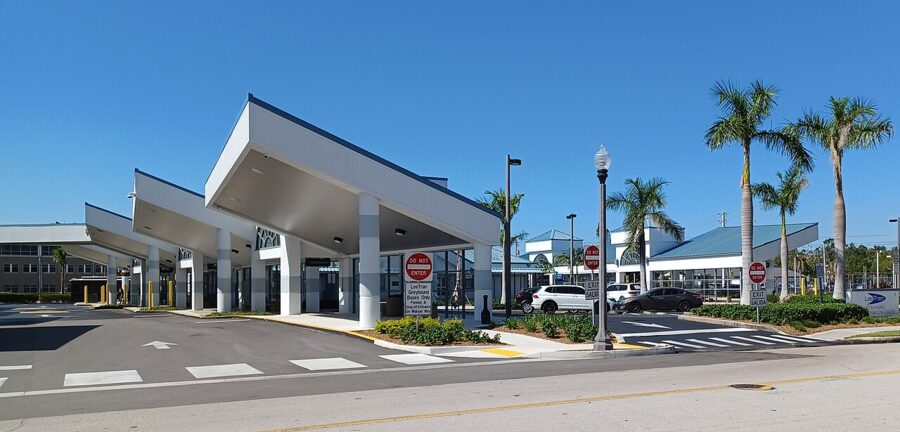
- You need a car. The sights are far apart across a huge grid.
- Tolls are all-electronic. The Midpoint and Cape Coral bridges cost $2 for a car with a transponder, or $2 plus a $3 administrative fee if billed by plate; the Sanibel Causeway is $6, or $6 plus $3. SunPass, E-ZPass and other compatible transponders work. Check how your rental company passes on toll charges before you drive.
- Parking at city parks and launch sites is free for cars. Sanibel’s beach parks charge $5 an hour.
- Bugs. Mosquitoes and no-see-ums come out at dusk near mangroves; pack repellent.
- Wildlife distances. 33 feet from owl burrows, 330 feet from eagle nests, and no feeding anything, including the manatees.
One last tip: check the opening days of Sun Splash, Wildlife Drive and any boat you plan to rent before you set your itinerary. Those three have the strictest calendars in the area, and building the trip around them saves a wasted drive.