Yes, Belize is safe to visit for most trips, as long as you plan around one district of Belize City and treat the roads and the sea as seriously as crime. As of November 2026 the US State Department rates the country Level 2 of 4, “exercise increased caution,” and only the Southside of Belize City carries the stricter Level 3, “reconsider travel.”
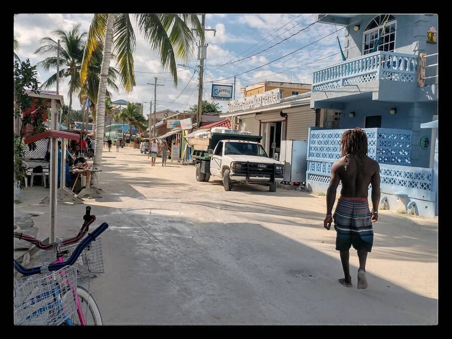

One thing changed this month. A 30-day state of emergency took effect on November 1, 2026, in parts of Belize City, the Ladyville area around the international airport and two villages on the George Price Highway in Cayo. It is a policing order aimed at gangs, not a travel ban, and it does not cover the cayes, Placencia, Hopkins or San Ignacio town. Expect more checkpoints, carry ID, and check whether it has been extended or lifted before you fly.

The crime figures are real, and they’re worth reading plainly. Belize recorded 91 murders in 2025, a rate of 21.8 per 100,000 people, which puts it in the same band as Jamaica and Honduras. Most of that violence is gang-related and concentrated in Belize City, while the problems visitors report in the beach towns and on the islands are theft, burglary and the occasional robbery. Roads and water take lives too: police counted 88 fatal crashes and 38 drownings in the same year.

On this page
- What the US, UK and Canadian governments say
- What the crime numbers show
- Belize City and the Southside
- The places visitors stay
- Roads: the risk that rivals crime
- The sea, the reef and the caves
- Health, water and medical care
- Hurricanes, floods and the weather
- Politics, protests and the law
- Getting around safely
- Money, nights out and documents
- Emergency numbers and who to call
- Is Belize safe? The short answer
What the US, UK and Canadian governments say
The three advisories agree on the basic shape: take care everywhere, take more care in Southside Belize City. Canada’s is the strictest.
| Government | National advice | Area singled out | Last changed |
|---|---|---|---|
| US State Department | Level 2 of 4: exercise increased caution (crime) | South side of Belize City, Level 3: reconsider travel | Reissued March 12, 2026 |
| UK Foreign Office | No numbered levels; crime, transport and weather advice | Southside gang violence; remote forest near the Guatemalan border | November 5, 2026 (state of emergency added) |
| Global Affairs Canada | Exercise a high degree of caution (violent crime) | Southside Belize City: avoid non-essential travel | November 3, 2026 (state of emergency added) |
The US advisory says isolated violent crime can happen during the day and in tourist areas, that local police lack the resources and training to respond well to serious crime, and that most crimes go unresolved. It also warns that emergency medical services are usually unavailable or badly delayed, and that serious injuries normally mean evacuation to another country.
It asks private US citizens to follow two rules set for US government staff: stay out of the south side of Belize City, from the Haulover Creek Canal south to Fabers Road, and don’t drive between cities after dark. The second matters more to most visitors. Almost nobody on vacation needs to be on the Southside, but plenty of people land late and try to drive to Cayo or Placencia.
Canada calls road safety poor throughout the country, advises against intercity buses and says plainly that taxis are not safe. The UK names San Pedro, Caye Caulker, Placencia and San Ignacio for petty theft, and notes that tourists are not usually the targets of gang violence.
The November 2026 state of emergency
Belize uses short states of public emergency to give police and soldiers extra powers in gang areas, and the current one is the third in eighteen months: one ran from May 6 to June 6, 2025, another began on May 8, 2026, and this one took effect on November 1, 2026. It lasts 30 days unless the government lifts it early or the National Assembly extends it, and while it runs, security forces can restrict movement, carry out searches and detain people of interest.
The areas listed in the UK advice are the Southside and Westside of Belize City, northern Belize City including the Philip Goldson Highway out to Ladyville, Lord’s Bank, Los Lagos, Lake Gardens and Vista del Mar, and the Cayo villages of Cotton Tree and Unitedville along the George Price Highway. Two of those touch almost every itinerary: the international airport is in Ladyville, and the George Price Highway is the road from Belmopan to San Ignacio.
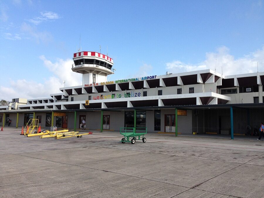
In practice that means police and military checkpoints and some delays, not closed roads. Keep your passport or a copy on you, stop when you’re waved down, and answer questions plainly.
What the crime numbers show
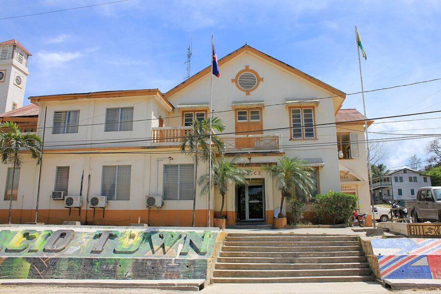
Belize publishes its own figures through the Belize Crime Observatory, part of the Ministry of Home Affairs, and they’re more useful than the reputation repeated online. Its 2025 year-end report counts 91 murders, one fewer than in 2024, at 21.8 per 100,000 people. Police recorded 1,089 major crimes, down 1%, but robbery rose 7% and rape rose 15%.
For comparison, the crime research group InSight Crime put Jamaica’s 2025 homicide rate at 23.7 per 100,000, Honduras at 23.2, Guatemala at 17.4 and Costa Rica at 16.8. Belize sits near the top of that group. The country is small, a little over 400,000 people, so one violent month in Belize City moves the national rate noticeably.
2026 has been worse so far. The Observatory’s half-year report counts 58 murder victims from January to June, 17 more than in the same months of 2025, with firearms used in 88% of cases and May the worst month at 13. Nine in ten victims were men, and the 18 to 29 age group had the most victims, a pattern that fits gang disputes far better than attacks on outsiders. That rise is the background to November’s emergency order.
Where the violence happens
Geography is the most useful number in the report. In 2025 the Belize District had 53% of the country’s murders, and 79% of those were inside Belize City itself. Cayo had 15% and Stann Creek 13%. In the first half of 2026 the Belize District again led, with 30 of the 58.
Police reporting and every foreign advisory point the same way: the shootings cluster in a few Belize City neighborhoods, mostly on the Southside, and involve people who know each other. Visitors are rarely the target. The risk for an outsider is being nearby when something happens.
What actually happens to visitors
For travelers the realistic list is shorter and duller. Burglary made up 55% of all major crimes in 2025, and Canada notes that pickpocketing and bag snatching happen, sometimes by groups that pick out people traveling alone. A phone left on a beach towel, a bag in an open golf cart, cash in a room with the window open: those are the typical cases on the cayes.
Armed robbery and sexual assault are less common but do occur, including in tourist towns, and all three advisories mention both. Canada warns about drugged drinks and food, and about accepting snacks, drinks, gum or cigarettes from people you’ve just met. Canada adds that women traveling alone may face harassment and verbal abuse, and its advice is what you’d follow in any small beach town: no rides from strangers, no empty beaches after dark, no hitchhiking.
Scams are small-scale. The usual ones are unlicensed guides working the cruise port and water-taxi docks, taxi fares that grow at the end of the ride, and prices quoted without saying which dollar they’re in. The Belize dollar is fixed at two to one US dollar and both are accepted, so a “20 dollar” fare can mean BZ$20 (US$10) or US$20. Ask before you agree.
Belize City and the Southside
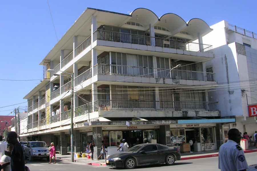

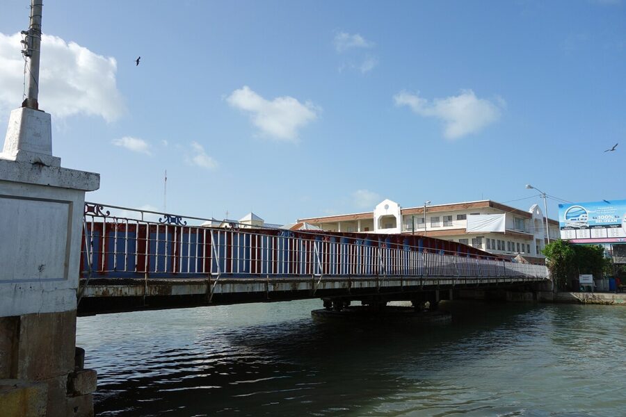
Belize City is the country’s largest town, its port and its transport hub, and most visitors pass through without staying. Haulover Creek, the arm of the Belize River crossed by the Swing Bridge, splits it in two. North of the creek are the Fort George area, the older hotels, the cruise tender landing and the main water-taxi docks. South of it is the Southside, a mostly residential district where the bulk of the city’s gang violence happens.
The US Level 3 zone runs from the Haulover Creek Canal south to Fabers Road, and Canada advises against non-essential travel anywhere south of the creek. There is little for a visitor there beyond the shops of the old downtown just over the bridge. If you do need to cross, go in daylight and by taxi.
For most trips the city takes up a few hours at most. From the airport in Ladyville you can connect to a domestic flight, take a taxi to the water-taxi docks, or pick up a car or shuttle for Cayo or the south. If you stay a night, choose a hotel in the Fort George area and take taxis after dark.

The places visitors stay
Belize’s tourism runs through a handful of small places, and none has a separate advisory level. All of them have crime, mostly theft and burglary, and all are small enough that the risks are easy to see coming.
San Pedro and Ambergris Caye
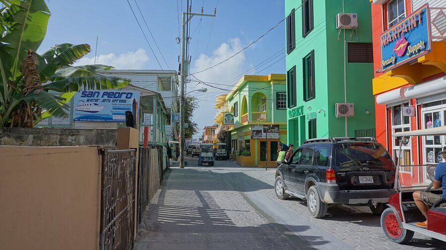

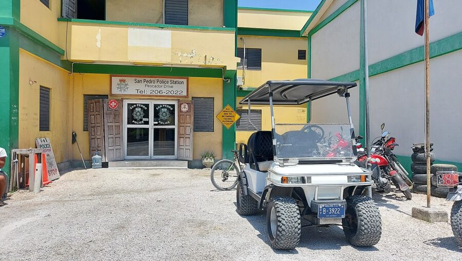
San Pedro is the busiest tourist town in the country, a long strip of hotels, bars and dive shops on Ambergris Caye where golf carts outnumber cars. The UK lists it for petty theft, and Canada names it among the places where foreign residents have been burglarized or assaulted. Use the room safe, and get a taxi or a cart home from bars and resorts outside town late at night rather than walking unlit roads.
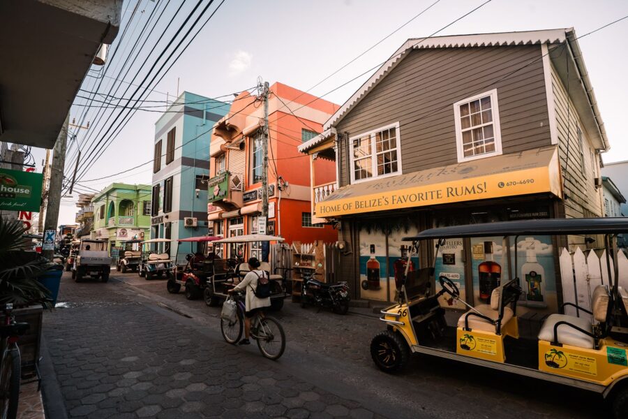
Caye Caulker
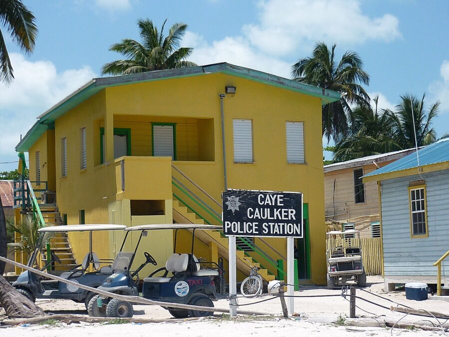

Caye Caulker is smaller, slower and cheaper, and its risks are San Pedro’s in miniature: theft from rooms and beach bags, bikes taken from outside bars, and the odd assault late at night. The Split, the channel at the north end of the village, is where most people swim, and boats run through it, so keep an eye on the traffic and don’t swim across.
Placencia and Hopkins
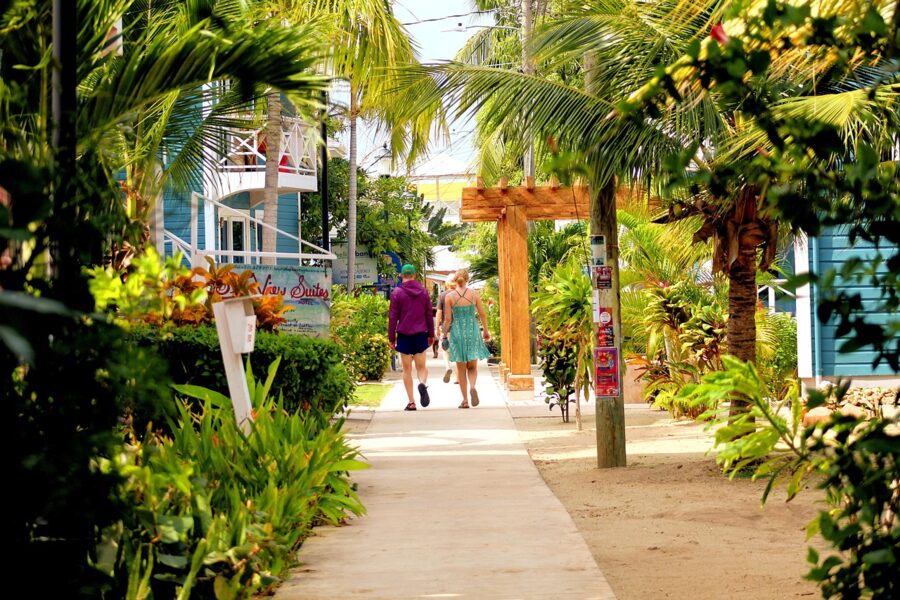
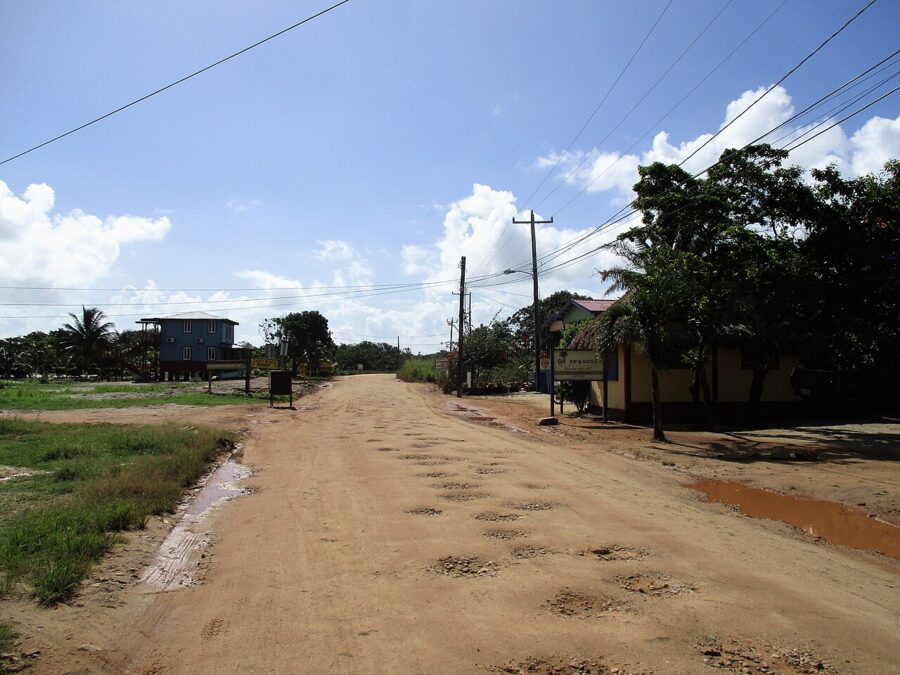
Placencia sits at the tip of a long peninsula in Stann Creek, and its village is built around a narrow concrete sidewalk that serves as the main street. Hopkins, a Garifuna village to the north, is quieter still. Canada names both, along with Seine Bight between them, for burglaries and assaults on foreign residents, which mostly points at houses and rentals rather than hotels.
If you rent a house, check the locks and outside lights before you settle in, and close windows and doors when you go out.

San Ignacio, Cayo and the western border
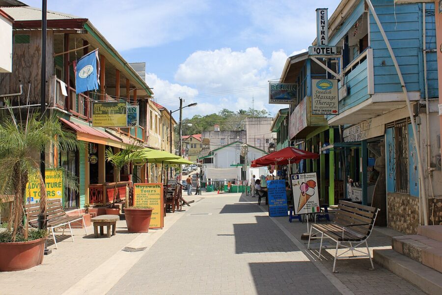
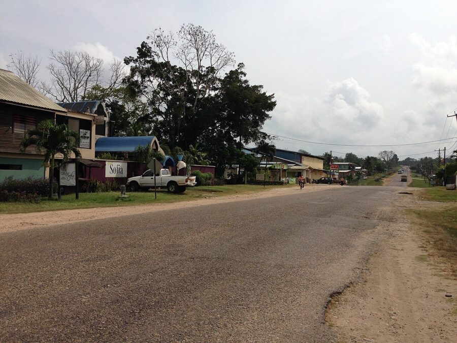
San Ignacio is the base for the Maya sites, caves and rivers of Cayo, a market town with a walkable center around Burns Avenue. The UK lists it for petty theft, and Cayo had 15% of the country’s murders in 2025. The bigger danger in Cayo is on the roads.
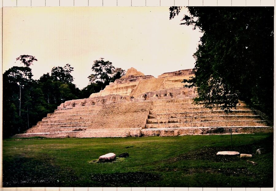
The western border needs more thought. The UK warns that armed criminals have operated in remote forest near the Guatemalan border and near tourist sites there, that the Belize Defence Force patrols the area, and that no incidents involving tourists have been reported. That describes the Chiquibul Forest, home to Caracol, the largest Maya site in Belize.
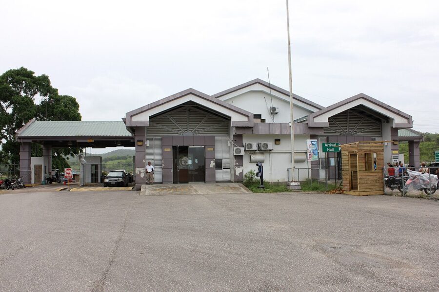
Go to Caracol with a licensed tour operator rather than on your own, and don’t leave marked trails anywhere near the border. Canada also flags higher crime in two border towns just outside Belize: Melchor de Mencos on the Guatemalan side and Chetumal in Mexico.

Roads: the risk that rivals crime
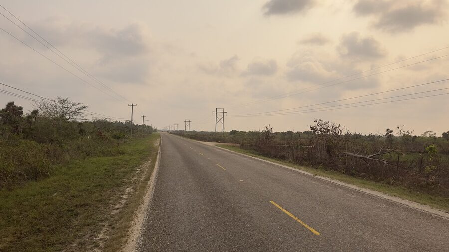

Police recorded 88 fatal road crashes in 2025, close to the number of murders, and Cayo had more of them than any other district, with 32. Motorcycles made up 38% of the vehicles involved. For a visitor who drives, the road is the bigger statistical risk.
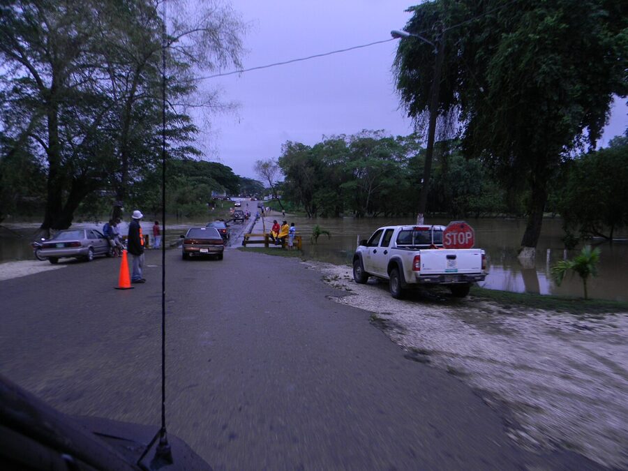
The main highways are paved, two lanes and mostly unlit: the Philip Goldson Highway north to Mexico, the George Price Highway west through Belmopan to the Guatemalan border, and the Hummingbird and Southern highways to the south. Canada warns that many other roads are unpaved, and lists aggressive driving, potholes, livestock and poor lighting as hazards. The UK adds flooded temporary bridges in Stann Creek and Toledo in the rainy season, and the lack of any roadside assistance.
The rule that matters is the one in the US advisory: don’t drive between towns after dark. Speed bumps sit at the edge of almost every village and are hard to see at night. Fill the tank before heading anywhere remote, stop at every police checkpoint, and keep bags out of sight in a parked car.

The sea, the reef and the caves
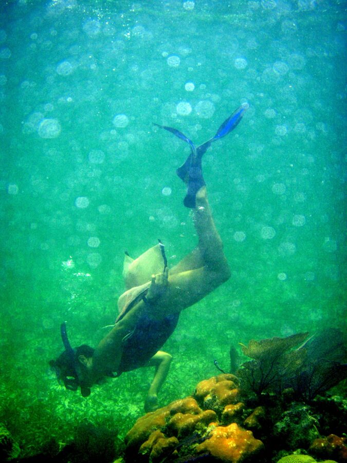

The Crime Observatory recorded 38 drownings in 2025, up from 26 the year before and well above the 2019 to 2024 average of 23. The UK notes injuries and deaths in snorkeling and diving, mostly from inadequate precautions and bad weather. Canada says riptides are common and most beaches have no warning flags.
Book reef trips only with licensed operators, check that the boat carries life jackets and a radio, and don’t go out if the weather looks doubtful. Tell the crew how well you really swim. Divers should check that their insurance covers diving and evacuation, and that the operator has a plan for decompression illness.
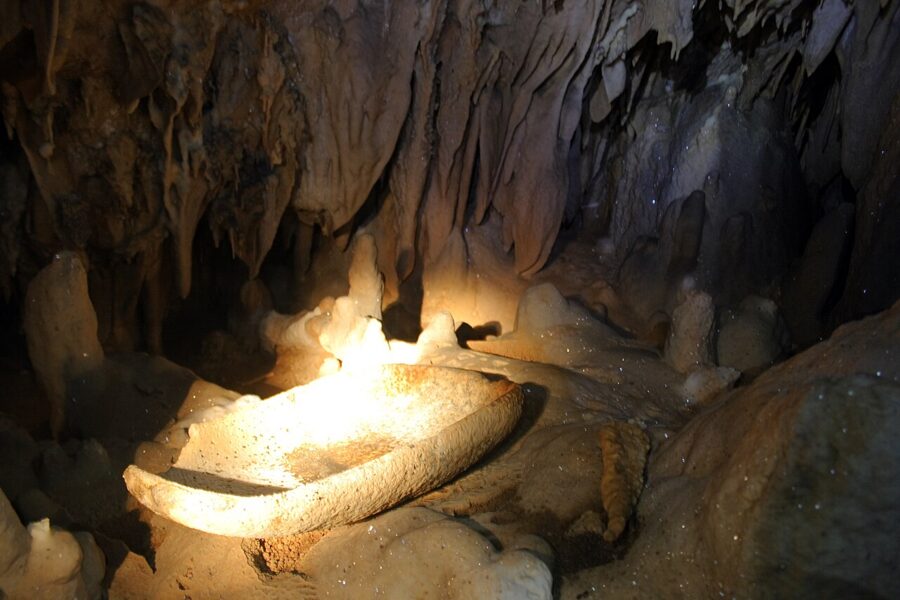
Inland, the cave trips in Cayo are physical. Actun Tunichil Muknal, the best known, starts with a swim into the cave mouth and continues with hours of wading and climbing, and it can only be visited with a licensed guide. Trips are called off when heavy rain raises the water, and that’s the right call.

Health, water and medical care
The CDC recommends hepatitis A and typhoid vaccines for most travelers to Belize, hepatitis B for unvaccinated adults under 60, and a talk with your doctor about rabies if you’ll be around animals. The CDC says Belize doesn’t require a yellow fever vaccine, and its only current notice covering it is the global Level 1 measles notice.
Mosquitoes carry dengue, Zika and chikungunya, and the CDC says malaria is a risk in some parts of the country, so ask a travel clinic whether your route calls for tablets. If you’re pregnant, read the CDC’s Zika guidance before booking. The CDC also lists leptospirosis from rivers and floodwater, and New World screwworm, reason enough to clean and cover any cut.
Bottled or filtered water is the safe default outside the bigger hotels. Medical care is the weak point. Clinics in the tourist towns handle minor problems, but the US advisory says serious injuries normally need evacuation to another country, so buy travel insurance that covers medical evacuation and every activity you plan to do.
Hurricanes, floods and the weather
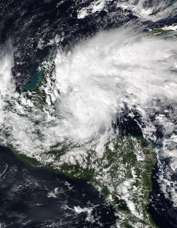
Hurricane season runs from June 1 to November 30, and Belize has taken direct hits in recent years. Hurricane Lisa came ashore southwest of Belize City on November 2, 2022, and Tropical Storm Sara brought flooding to western Belize in November 2024. The rainy season, May to November in Canada’s description, also brings landslides and roads cut by high rivers.
If you travel between June and November, book refundable where you can, buy insurance before a storm has a name, and follow the National Meteorological Service of Belize and the US National Hurricane Center. NEMO, Belize’s National Emergency Management Organisation, issues the shelter and evacuation orders. In the dry season the risk shifts: Canada notes that wildfires are common from December to May, especially in Cayo and the south.

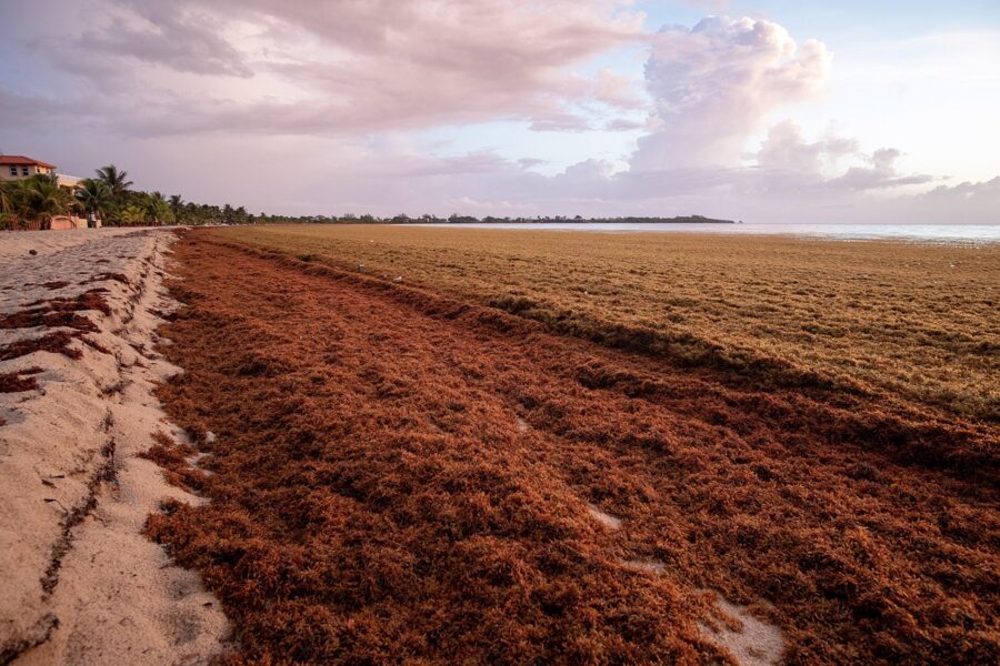
Sargassum seaweed is a nuisance rather than a safety issue. Some years it piles up on the beaches and smells as it rots, and some years it barely shows.
Politics, protests and the law
Demonstrations happen in Belize City and Belmopan; the UK describes most as peaceful and advises keeping away from large gatherings.
The laws that catch visitors are the usual ones. Possession of illegal drugs can mean a fine and prison, and a medical marijuana card from home counts for nothing. US permits to carry weapons are not valid, and taking coral from the reef or artifacts from Maya sites is illegal.
Same-sex relations between consenting adults are legal, and the UK describes San Pedro as relatively welcoming. Elsewhere, it notes, some LGBT+ couples, especially men, avoid public displays of affection after reports of verbal and physical abuse.
Getting around safely
Taxis
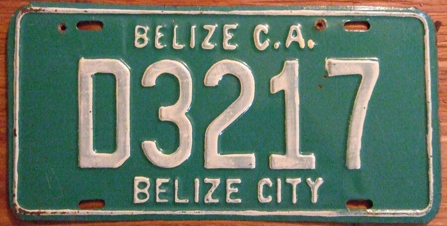

Licensed taxis carry green plates, and both the UK and Canada say to use only those, agree the fare before you get in, and expect to pay cash. There are no ride-sharing apps. At the airport, use the official taxi line or a transfer your hotel has arranged, and at night ask the restaurant or hotel to call a driver they know rather than flagging one down.
Water taxis and domestic flights
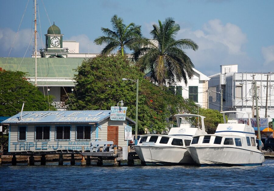

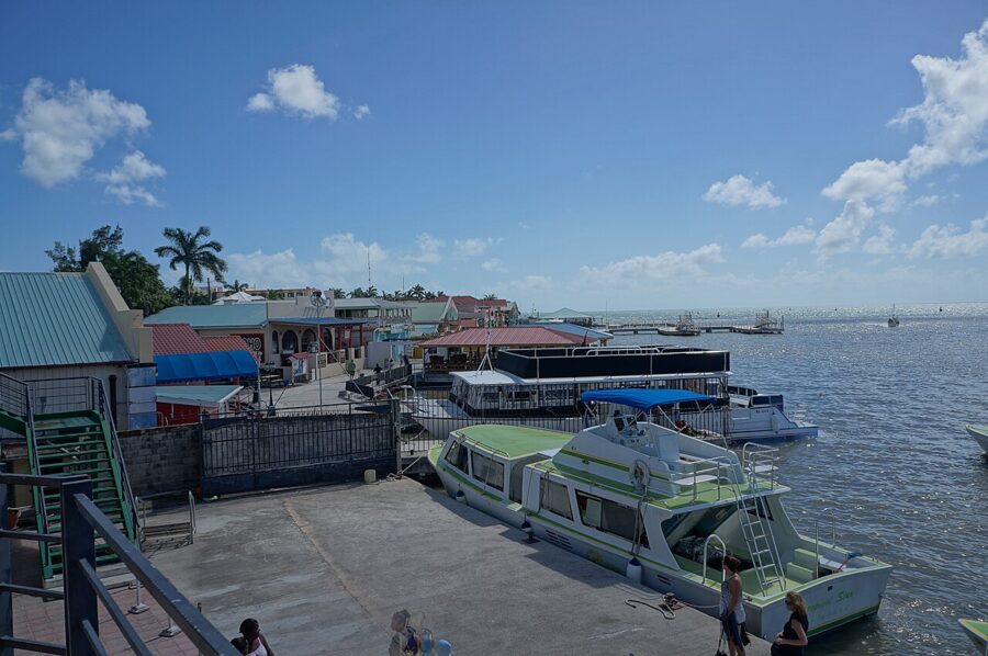
Water taxis are the main link between Belize City and the cayes, with scheduled boats to Caye Caulker and San Pedro. Use the established companies, allow time for delays, and skip any boat that looks overloaded or poorly kept, which is Canada’s advice and plain sense. Keep your bag where you can see it while boarding and unloading.
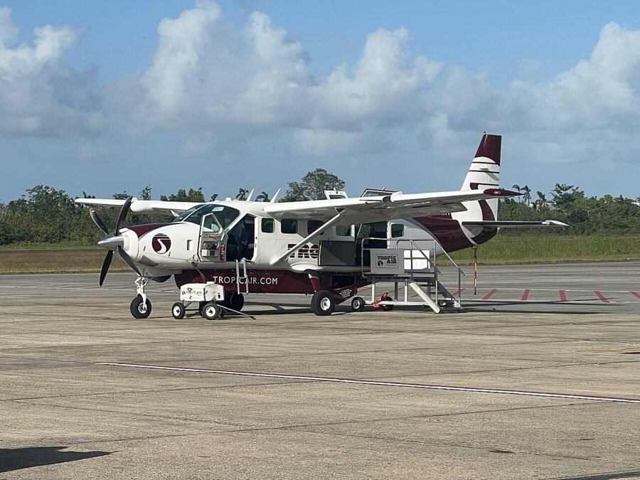
Small planes connect Belize City with the cayes and the towns of the south. On April 17, 2025, a small passenger plane was hijacked on an internal flight, and the Belize Airports Authority then announced tighter security at the municipal airstrips. The UK suggests allowing extra time for possible disruption to domestic flights.
Buses
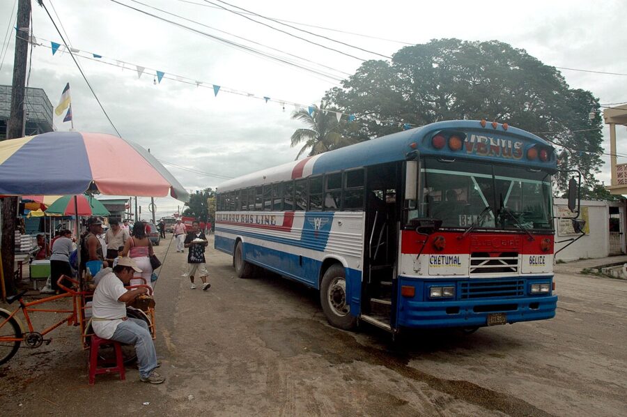
Belize’s buses are cheap and used by everyone, but Canada advises against intercity buses because of poor maintenance and missing safety equipment, and the UK notes that many have no seatbelts. If you take one, travel in daylight and keep your bag on your lap. Private shuttles run the main visitor routes, such as the airport to San Ignacio, for more money and less risk.

Money, nights out and documents
Carry small amounts of cash and leave the rest in the room safe. Use ATMs inside banks or in busy, well-lit places, as the UK suggests, and keep a second card apart from your wallet. US dollars are taken almost everywhere, but change usually comes in Belize dollars.
On nights out, watch your drink, don’t take one from someone you’ve just met, leave with the people you came with, and get a taxi or a cart rather than walking unlit roads.
Bring a US passport book, since the passport card is not accepted for entering Belize, and keep a photo of the photo page on your phone. Enroll in the State Department’s STEP program so the US Embassy in Belmopan can reach you, and carry ID while the state of emergency lasts.
Emergency numbers and who to call
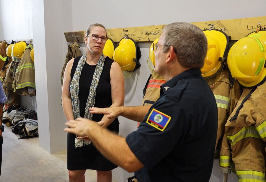
Dial 911 for police, fire or ambulance anywhere in Belize. In the main tourist areas the police have a Tourism Police Unit that deals with visitors, and your hotel can put you in touch. For a lost or stolen US passport, contact the US Embassy in Belmopan; British nationals are covered by the British High Commission in Belmopan, and Canadians by an honorary consul in Belize City.
If something happens, report it at the police station in person and get a copy of the report for your insurer.
Is Belize safe? The short answer
- The official advice: US Level 2 of 4 (reissued March 12, 2026), with Level 3 for the south side of Belize City; Canada says exercise a high degree of caution and avoid non-essential travel to the Southside (November 3, 2026); the UK uses no levels and updated its advice on November 5, 2026.
- The new caveat: a 30-day state of emergency from November 1, 2026, in parts of Belize City, Ladyville and two Cayo villages on the George Price Highway. Expect checkpoints and carry ID.
- The crime record: 91 murders in 2025 (21.8 per 100,000), concentrated in Belize City; 58 in the first half of 2026, up from 41. Visitors mostly face theft and burglary.
- Where to take care: Southside Belize City, any highway after dark, and remote forest near the Guatemalan border.
- Other risks: 88 fatal road crashes and 38 drownings in 2025, hurricanes from June to November, and limited emergency medical care.
Before you fly, book the first leg from the airport, whether a domestic flight, a water taxi or a shuttle, so that your first evening in Belize starts at your hotel and not on an unfamiliar road in the dark.