Give Yuma two days between November and March, and build them around the river. The things to do in Yuma that justify the drive are the Yuma Territorial Prison on its bluff, the Colorado River crossing that made the town, the winter lettuce fields and Medjool date farms, and the wildlife refuges and ghost-town mine country to the north. Los Algodones, Mexico, sits about 20 minutes away by car if you want a morning across the border.
Yuma is a farm and military town of the low Sonoran Desert, sitting at the southwest corner of Arizona where the state meets California and Mexico. It is flat, hot and very bright. The Guinness World Records title the city likes to quote calls it the sunniest place on Earth, with about 11 hours of sunshine a day in winter and 13 in summer.

That sun shapes everything. From roughly November to March, winter visitors in RVs fill the parks, the farms run flat out, and every sight keeps its longest hours. From June to September, afternoons over 100 degrees are normal, and the sensible plan is a dawn walk, a museum and a long lunch indoors.

On this page
Yuma in brief: where it is and how to get there
Yuma sits on Interstate 8, on the east bank of the Colorado River. San Diego is about 172 miles west on the same interstate, roughly three hours without traffic, and Phoenix is about 185 miles to the northeast, also about three hours, mostly on I-8. Tucson is about 240 miles and four hours east, and Los Angeles about 270 miles west.
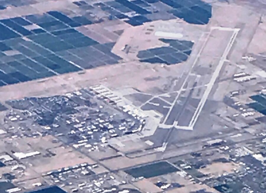
Yuma International Airport (YUM) is a small single-terminal airport on the south side of town, shared with Marine Corps Air Station Yuma. As of November 2026, the airport says American Airlines flies multiple daily round trips to Phoenix Sky Harbor and one daily round trip to Dallas Fort Worth, and nothing else. Avis, Budget, Enterprise and Hertz have counters there, and short-term parking costs $2 an hour up to a $10 daily maximum.

Many visitors fly into Phoenix instead, for the wider choice of flights, and drive. Amtrak’s Sunset Limited, which runs between New Orleans and Los Angeles three days a week, also stops in Yuma. Whichever way you arrive, plan on a car: the riverfront and downtown are walkable, but the farms, refuges and border are spread across 50 miles of desert.
One clock detail catches people out. Arizona does not use daylight saving time, so from November to March Yuma runs one hour ahead of California across the river. In summer the clocks match.
The main things to do in Yuma
Hours and prices below are from each place’s own website as of November 2026. Several are seasonal, so check the hours column before a summer trip.
| Sight | Hours | Adult price | Allow |
|---|---|---|---|
| Yuma Territorial Prison State Historic Park | Daily 9am to 4:30pm (October to May); 8:30am to 4pm (June to September) | $10 (ages 14 and up) | 1.5 to 2 hours |
| Colorado River State Historic Park | Tuesday to Sunday 9am to 4:30pm (October to May); Thursday to Sunday (June to September) | $10 (ages 14 and up) | 1 to 1.5 hours |
| Yuma Art Center and Historic Yuma Theatre | Tuesday to Saturday 11am to 7pm | No admission fee listed for the galleries | 1 hour |
| Imperial National Wildlife Refuge | Lands dawn to dusk; visitor center Friday to Sunday 10am to 4pm, November to March | Free | Half a day |
| Castle Dome Mines Museum and ghost town | Daily 10am to 5pm, October 15 to April 15 | $20 walking tour; $75 guided mine tour | Half a day with the drive |
| Imperial Sand Dunes | Permit season October 1 to April 15 | Vehicle permit $55 a week, bought in advance | A few hours |
Yuma Territorial Prison State Historic Park
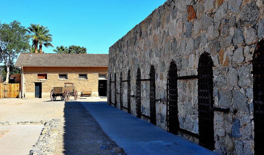
This is the one sight in Yuma nobody should skip. Ground was broken on April 28, 1876, and the first seven inmates moved in on July 1 that year, having helped build their own cells. It was the Arizona Territory’s first prison and ran for 33 years before overcrowding forced the move of every inmate to a new prison at Florence.
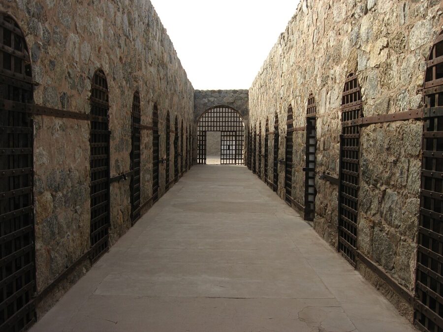

You walk through the actual strap-iron cells and the solitary chamber, and past the guard tower over the river. The museum tells the stories of individual prisoners, including Pearl Hart, the stagecoach robber the park calls legendary. Allow an hour and a half.
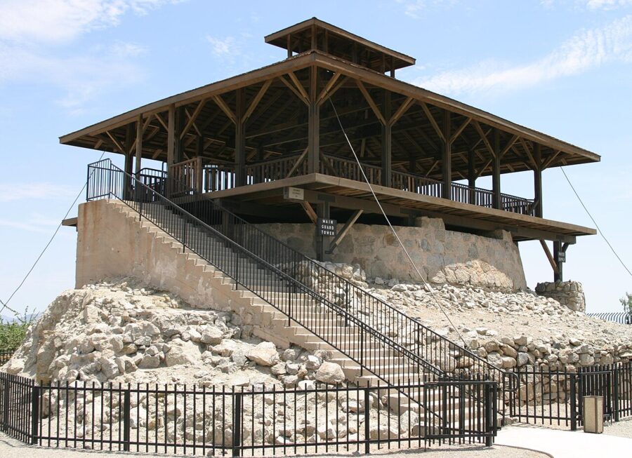

Admission is $10 for ages 14 and up and $7 for ages 7 to 13, with under-7s free, as of November 2026. The park is open every day, 9am to 4:30pm from October 1 to May 31 and 8:30am to 4pm from June 1 to September 30, and closes on the day before Thanksgiving, Thanksgiving, Christmas Eve and Christmas Day. It sits at 220 North Prison Hill Road, on the bluff above Gateway Park.
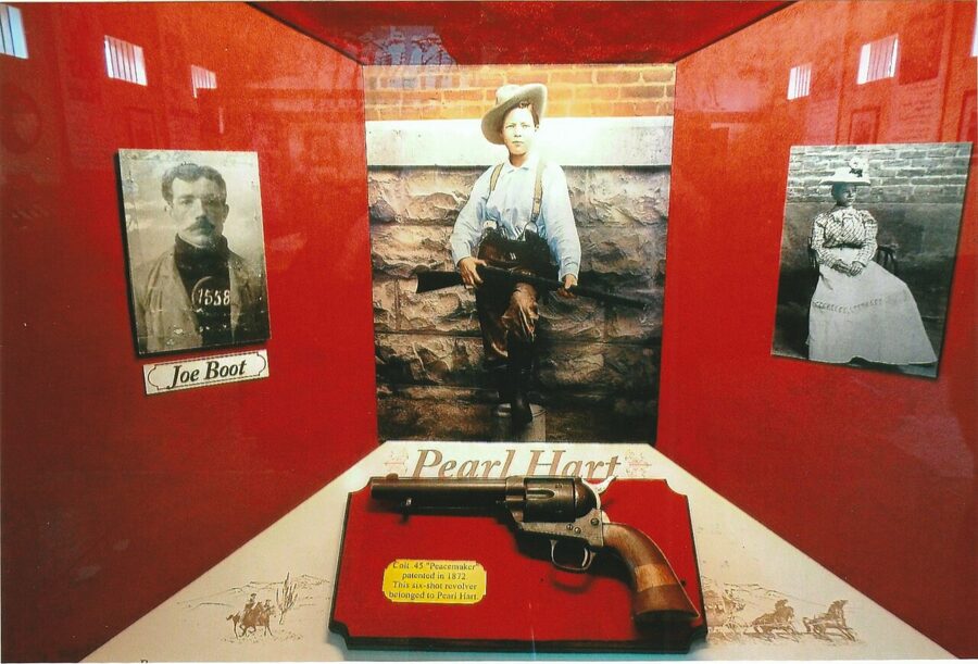

Staying all winter? The Yuma Crossing National Heritage Area sells an annual pass covering both state historic parks in town.
Colorado River State Historic Park
Before the railroad, the Army supplied its Southwest forts from here. The Yuma Quartermaster Depot opened in 1864 and, according to the park, kept posts in five territories and states stocked with six months of clothing, food and ammunition, using as many as 900 mules at times. Five of its early buildings survive on a 10-acre site a short distance west of the prison, and the park counts them among the oldest and best-preserved in Arizona.
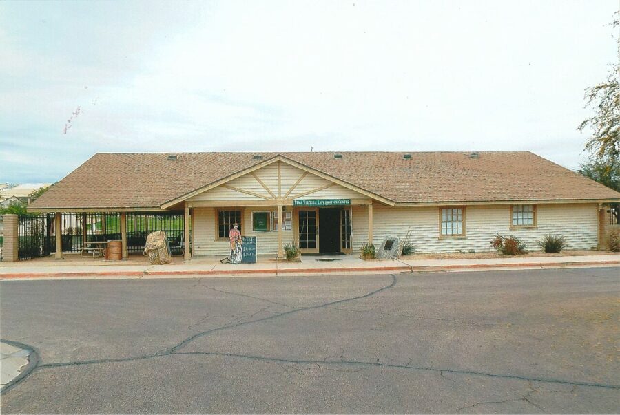

It is a quieter, shorter visit than the prison, with the same $10 adult ticket. Winter hours run Tuesday to Sunday, 9am to 4:30pm, from October to May; in summer it opens only Thursday to Sunday. The park is at 201 North 4th Avenue.
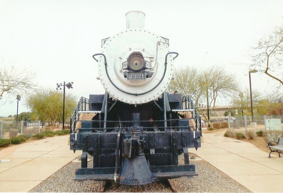

In December the park hosts Christmas at the Crossing, on December 18 and 19, 2026, from 5pm to 10pm, with train rides and Santa photos included in the ticket.
The riverfront and the Colorado River crossing
Yuma exists because the Colorado narrows here between two hills, one under the prison and one on the California side. For centuries this was the place to cross the lower river, first for the Quechan and their neighbors, then for Spanish expeditions, gold seekers heading to California, the Army and the railroad. The Yuma Crossing National Heritage Area calls the town the Gateway to the Great Southwest for that reason.
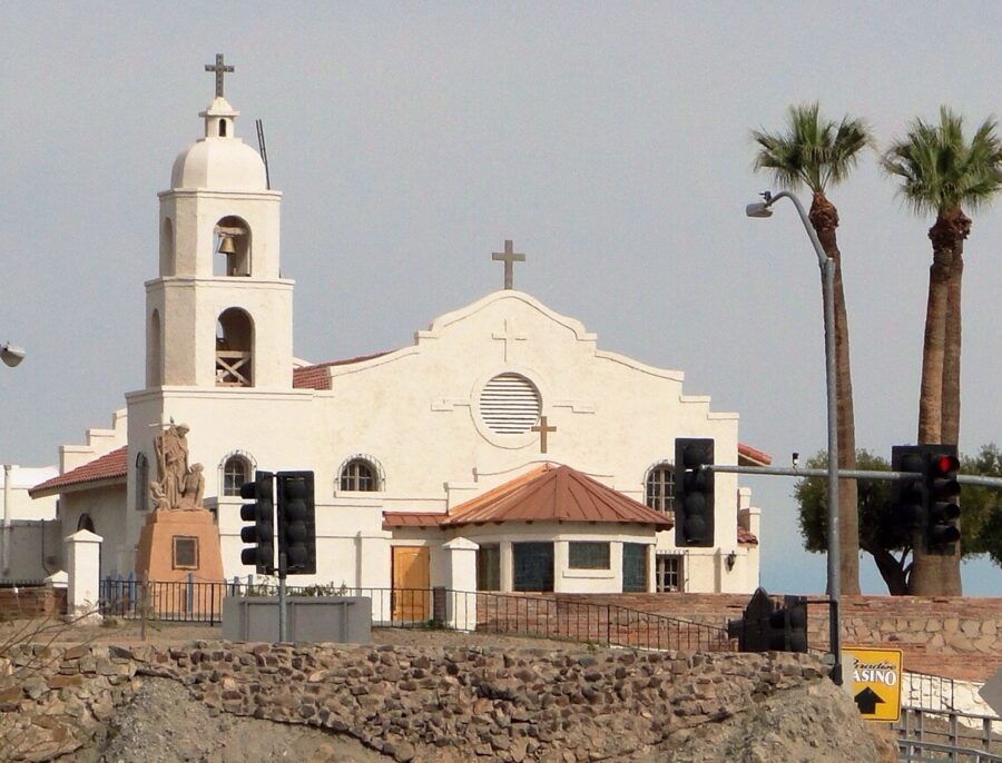

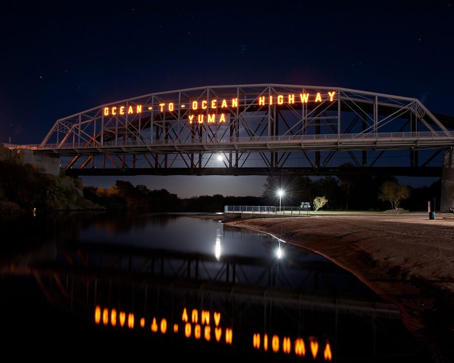
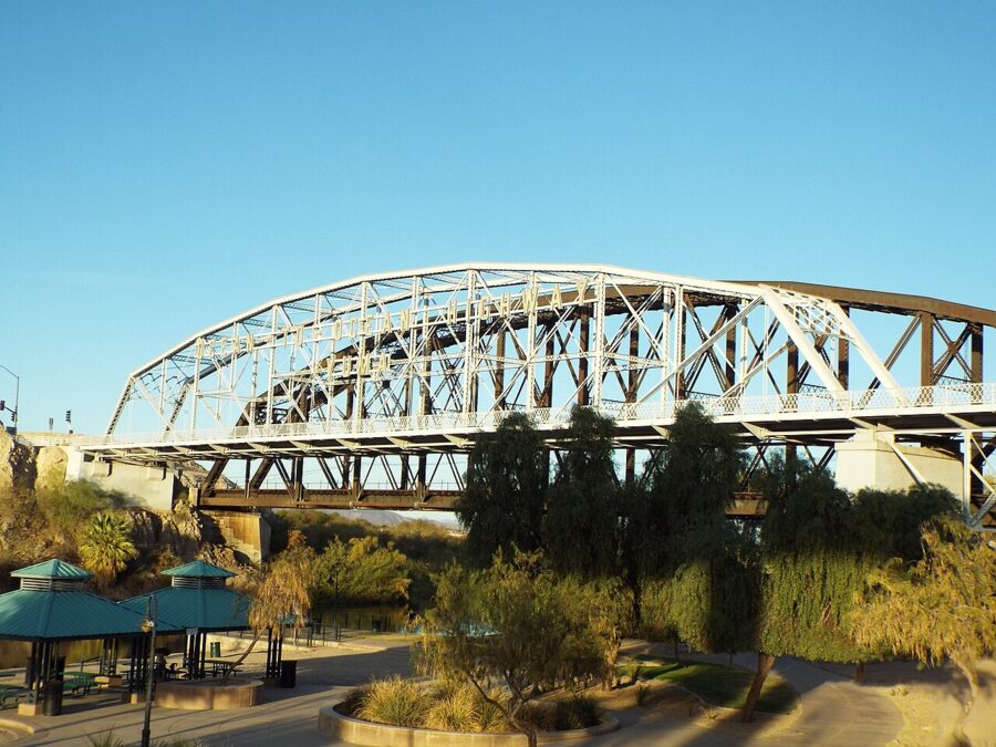
Today the crossing is a string of parks you can walk in an hour. Gateway Park sits on the river below the prison and next to the 1915 Ocean to Ocean Bridge. Pivot Point Plaza, beside Gateway Park, marks the spot where the first train entered Arizona in 1877, with panels on the prison, Fort Yuma, the old rope ferry and the Quechan Tribe.
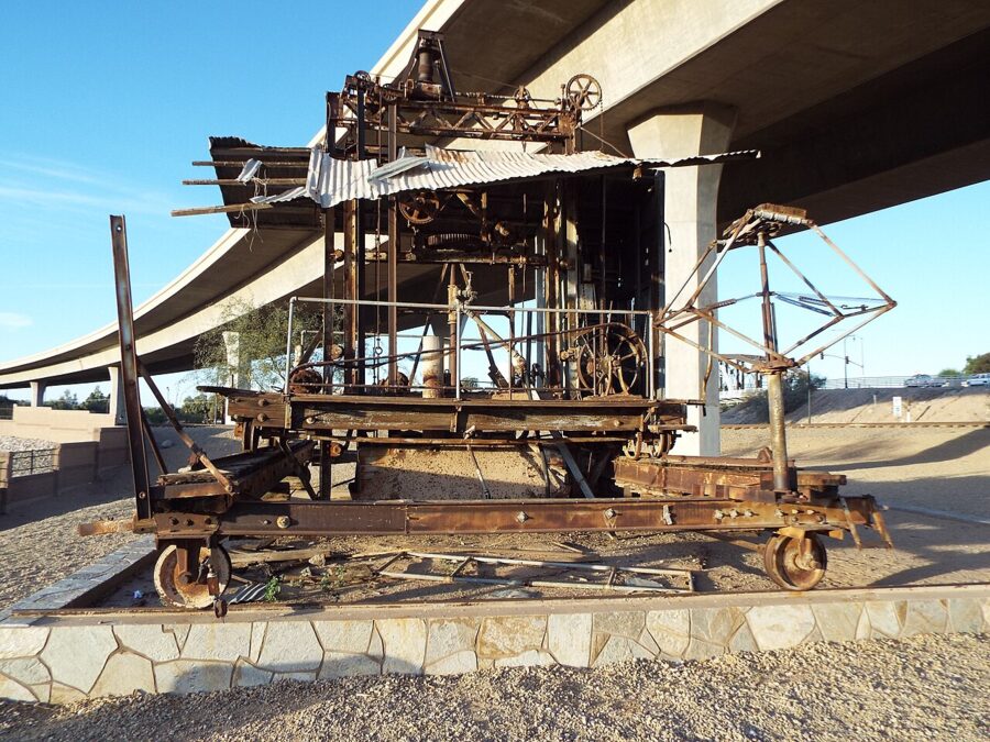

East of the bridge is the Yuma East Wetlands, the best place in town for a morning walk. Since restoration started in 2004, a partnership of the Heritage Area, the Quechan Indian Tribe, the City of Yuma and Arizona Game and Fish has turned nearly 400 acres of riverbank that was used as a dump into marsh, mesquite, cottonwood and willow. The endangered Ridgway’s rail and yellow-billed cuckoo now breed there, according to the Heritage Area.

Paths run along the river from the wetlands past downtown. In summer, tubing floats between the riverfront parks are a long-running Yuma habit; check outfitters and river conditions locally, because dam releases set the flow.
Historic downtown and the Yuma Art Center
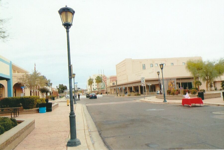
Downtown Yuma is small and worth an hour or two on foot. Main Street runs south from the riverfront through a historic district of older brick and stucco buildings, and the Yuma Visitor Center is at 264 South Main Street if you want maps and the current events list.
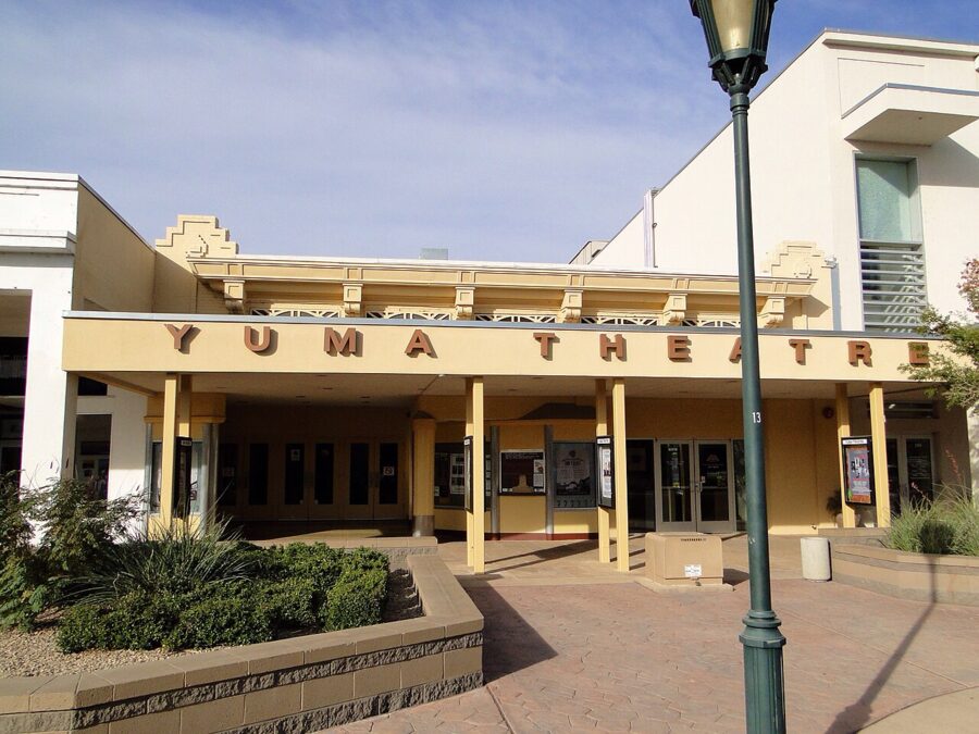

The Yuma Art Center at 254 South Main Street pairs the theater with four visual art galleries and a restored building that houses the North End Artists Cooperative. It is open Tuesday to Saturday from 11am to 7pm. From December 4, 2026 to January 22, 2027, the galleries host a juried show called The Sunniest Place on Earth.
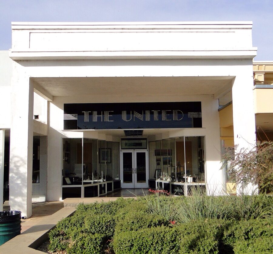

Nearby, Lutes Casino at 221 Main Street is a pool hall and bar, not a gambling den, in a 1901 building where a billiard parlor opened in 1920. Old posters cover the walls, and a fake leg pokes through the ceiling.
Farm country: winter lettuce and Medjool dates
Drive ten minutes out of Yuma in any direction in winter and you hit fields. According to the Yuma Crossing National Heritage Area, Yuma farmers grow more than 40 kinds of vegetables and melons on more than 90,000 acres, and the area supplies 95 percent of the country’s winter fresh vegetables. If you ate iceberg lettuce in January, it very likely came from here.
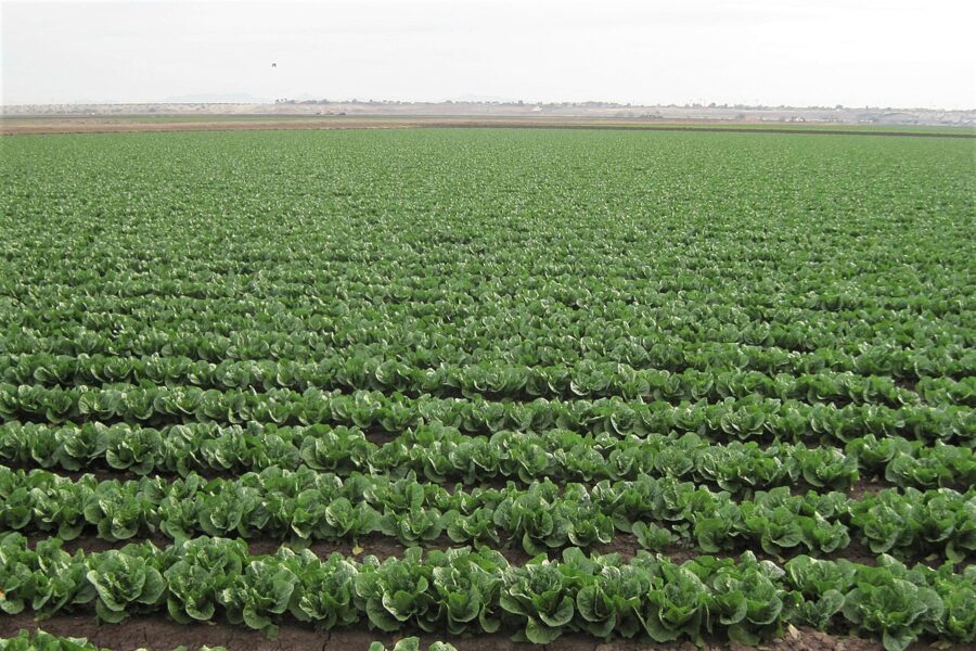
The fields are private, so the best way in is a guided visit. Visit Yuma, the city’s tourism office, runs specialty farm tours and farm dinners several times a year; dates are posted on its events calendar and in its weekly newsletter.
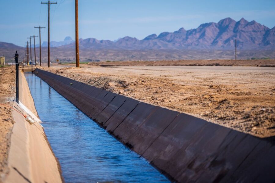
The other crop to know is the Medjool date. Martha’s Gardens, south of town at 9747 South Avenue 9 3/4 East, was started in 1990 by Nels and Martha Rogers with 300 Medjool palms and now has over 8,000 palms on more than 130 acres. The family grows, packs and sells its own dates, and the farm shop makes a date shake that is the reason most people stop.
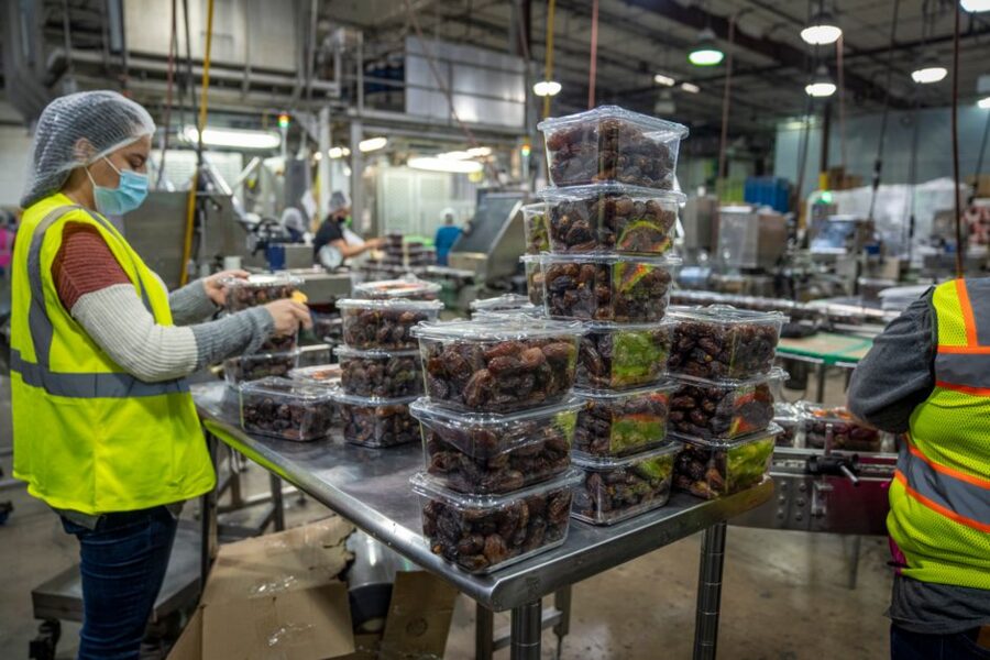

Farm tours at Martha’s Gardens are by arrangement, so call ahead. Its posted summer hours, May to November, are weekdays 9am to 4pm; the website also lists 10am to 5pm, so confirm before you drive out.
Imperial National Wildlife Refuge
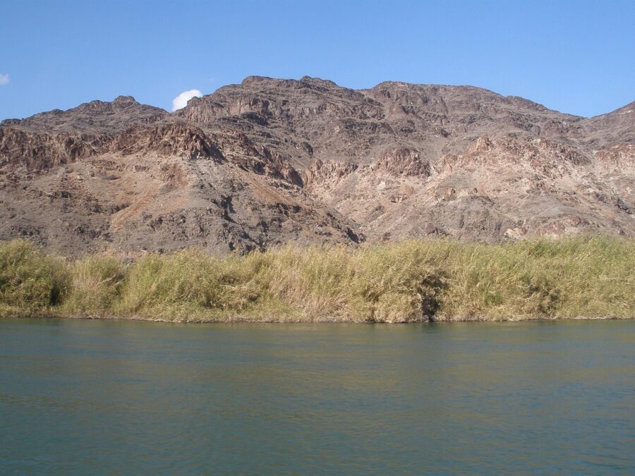
About 40 miles north of town, the Colorado slows into a maze of backwaters and marsh. Imperial National Wildlife Refuge, set up in 1941, protects 30 miles of the river on 25,768 acres. Entry is free and the refuge roads and trails are open daily from dawn to dusk.
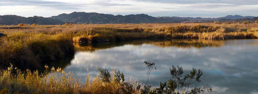
To get there, take US 95 north from Yuma, turn west onto Martinez Lake Road between mileposts 46 and 47, follow it for about 10 miles, then go north on Red Cloud Mine Road for three miles to the visitor center. Allow a little over an hour. The visitor center, with exhibits, a short film and live native fish, opens Friday to Sunday from 10am to 4pm, November 1 to March 31 only.
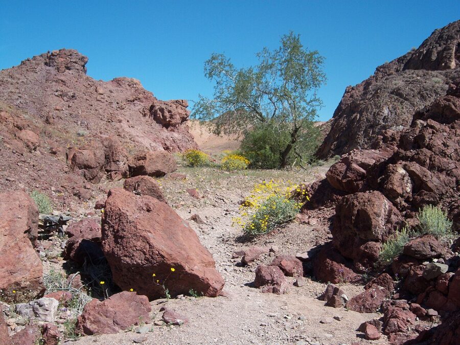

The Meers Point Trail runs 0.8 mile on gravel from the visitor center to Meers Point, with a boat launch and picnic tables. The Painted Desert Trail starts three miles farther up Red Cloud Mine Road. Bring all your water; there is nowhere to buy any.
Kofa National Wildlife Refuge and Castle Dome
Kofa begins about 40 miles north of Yuma on the east side of US 95, a huge refuge of desert mountains best known for its desert bighorn sheep. There is no fee and there are no facilities. The US Fish and Wildlife Service warns that most refuge roads are unmaintained and many need four-wheel drive, so ask about conditions before leaving pavement.
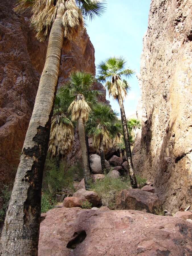

Unexploded military ordnance may turn up, so leave anything that looks like hardware alone and report it. Off-road driving is banned, and rock collecting is allowed only in the 1.5-square-mile Crystal Hill area, with no tools.
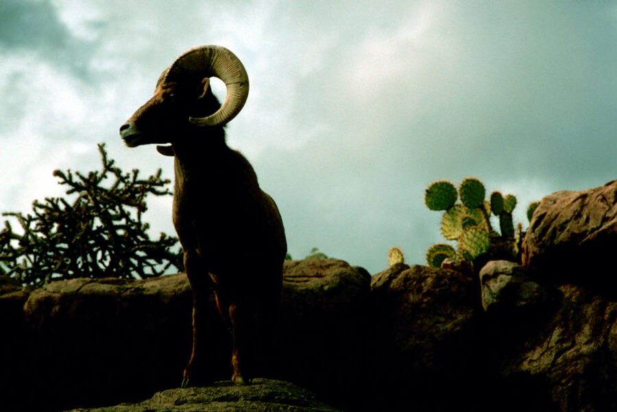
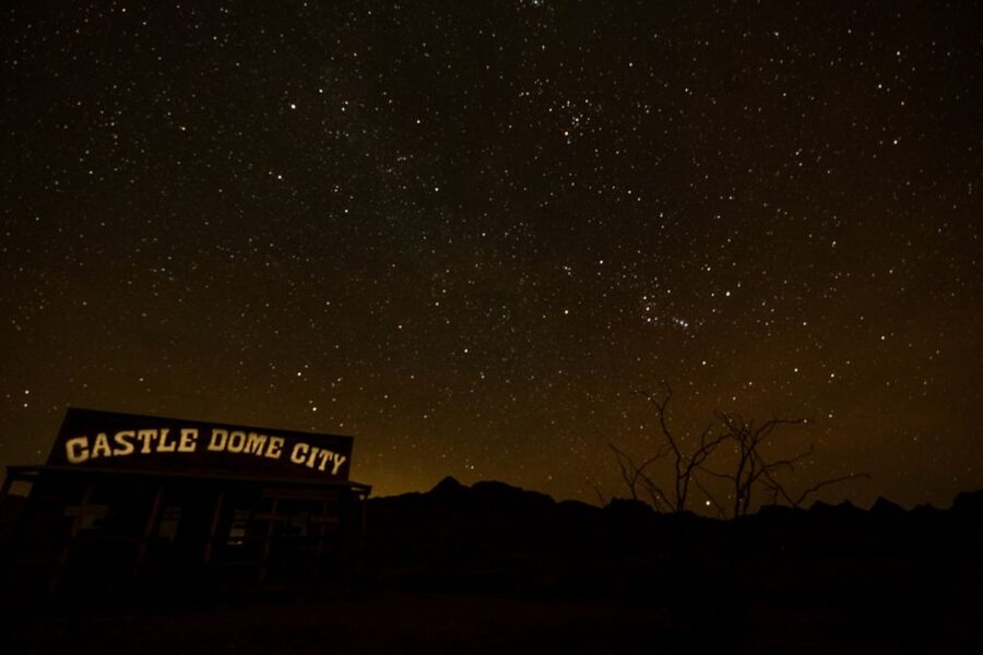
On the refuge’s edge, the Castle Dome Mines Museum is the oddest half-day trip from Yuma: a ghost town of historic buildings you can walk into, plus the Hull Mine. Leave US 95 at milepost 55, between Yuma and Quartzsite, and follow the road 10 miles to the dead end; the first three miles are paved and the rest is dirt across Yuma Proving Ground and refuge land.
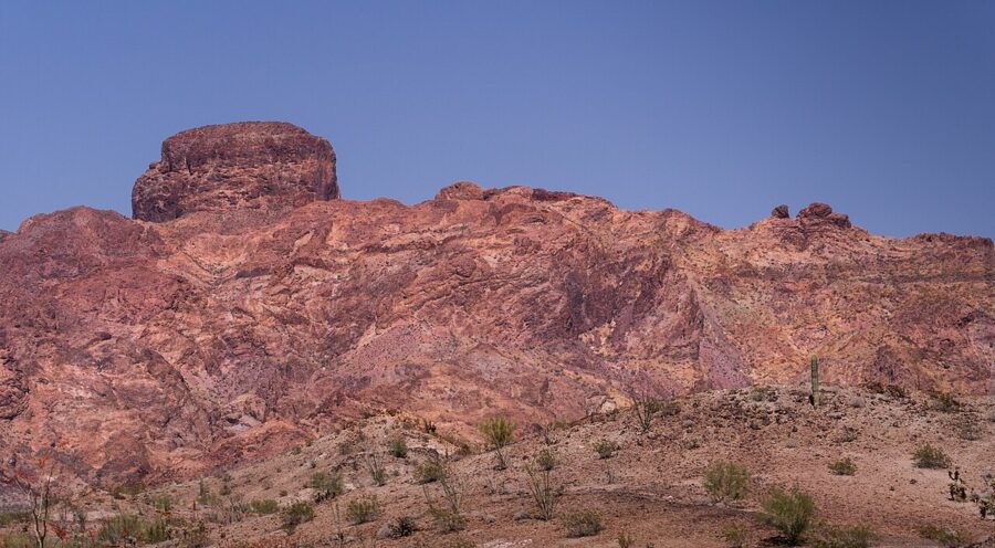

As of November 2026, the museum opens daily from 10am to 5pm between October 15 and April 15, except Thanksgiving and Christmas, and asks summer visitors to call. The self-guided 1.8-mile ghost town walk costs $20 for adults and $7 for children 7 to 11. A guided underground mine tour, which includes the ghost town, costs $75 for adults and $35 for children 7 to 11, with children 6 and under free.
Imperial Sand Dunes
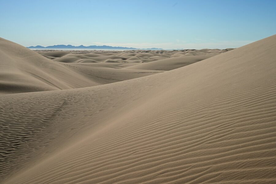
West of Yuma, across the river in California, Interstate 8 runs through a sea of sand. The Imperial Sand Dunes are the largest mass of dunes in California, according to the Bureau of Land Management, stretching more than 40 miles in a band about five miles wide, with dunes up to 300 feet high. The sand blew in from the shores of ancient Lake Cahuilla.
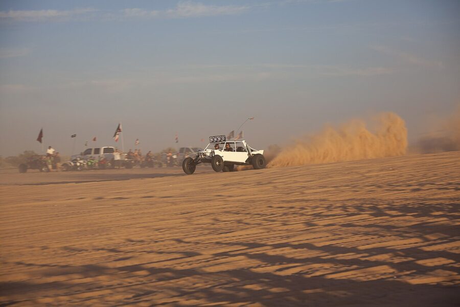
Most of the off-road riding happens south of State Route 78, and a vehicle permit is required from October 1 to April 15: $55 a week bought in advance, $70 bought on site, or $185 for the season, as of November 2026. North of Highway 78, the North Algodones Dunes Wilderness covers more than 26,000 acres and is closed to all vehicles, so it is the place to walk among the tallest dunes in quiet. Never drive onto soft sand in a rental car.

Los Algodones, Mexico
Los Algodones is a small Mexican border town, best known for its dental offices, pharmacies and opticians, about 11 miles west of downtown Yuma at the Andrade crossing. Most people park on the US side and walk across. The US port at Andrade is open 6am to 10pm Pacific time every day, according to US Customs and Border Protection’s border wait-time service, as of November 2026.
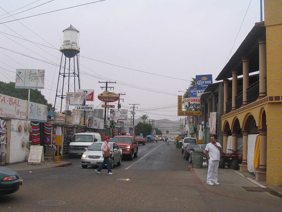

Because the port is in California, its hours follow Pacific time. In winter that means a 10pm closing is 11pm on a Yuma clock. To come back into the United States by land, US citizens need a passport book or card, a Trusted Traveler card or an enhanced driver’s license.
The State Department’s travel advisory for Mexico, issued in late May 2026, rates the country as a whole Level 2, “Exercise increased caution,” because of terrorism, crime and kidnapping, and warns that some areas carry increased risk. Read the full advisory before any trip, and for what the Baja California rating means for a day in town, read is Los Algodones safe to travel.
Smaller and local things to do
Sanguinetti House
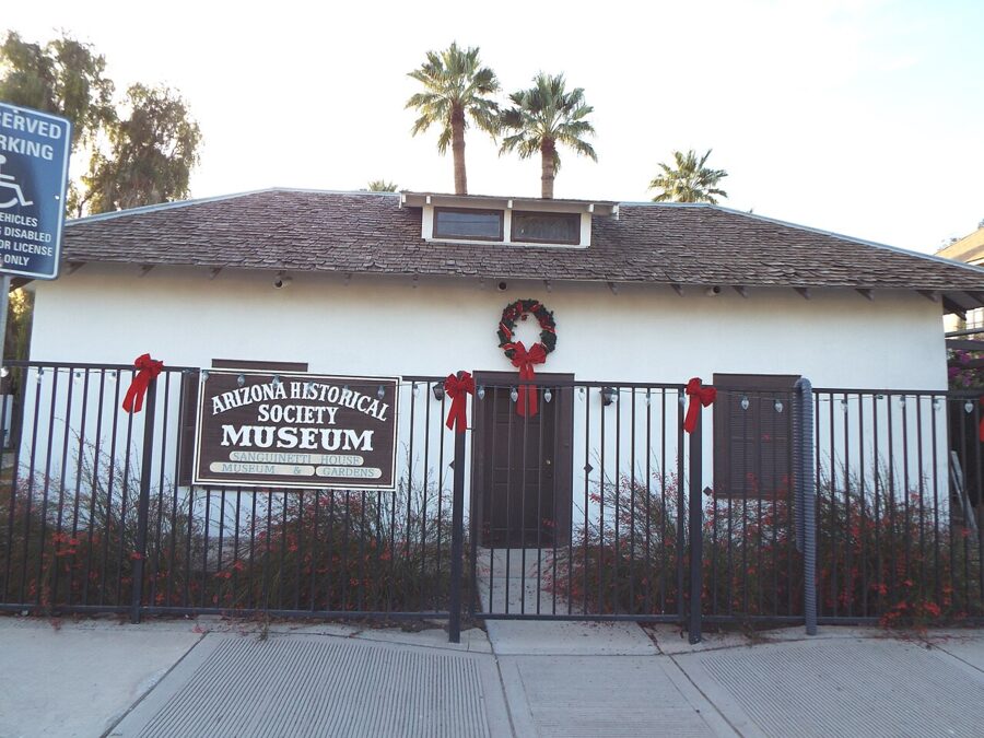
The adobe house at 240 Madison Avenue dates from the 1870s and was bought in 1890 by the pioneer merchant E.F. Sanguinetti, who added to it as his family grew and laid out an Italian-style garden. The Arizona Historical Society runs it as a museum with gardens, but its opening days were not published in November 2026, so call the society before planning around it.

West Wetlands Park
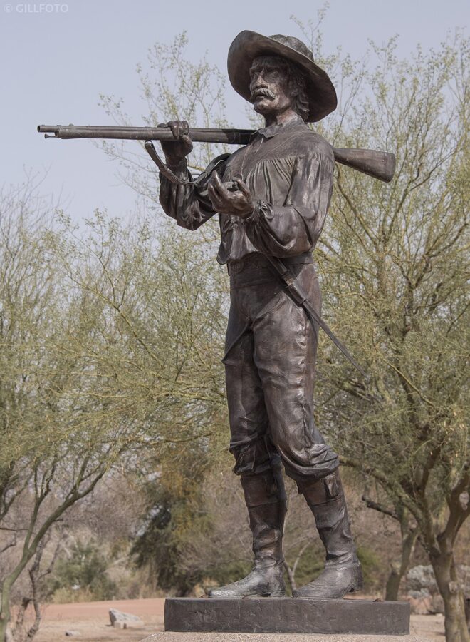
West Wetlands is the city’s big riverside park, 110 acres on the site of a former landfill, built in stages since 2000 by the Heritage Area and the city. The upper level has a fishing pond, two playgrounds, picnic ramadas and lit paths; the lower level runs down to the river and a second beach. A statue honoring the Mormon Battalion, which marched through in 1846, stands in the park.

Mittry Lake
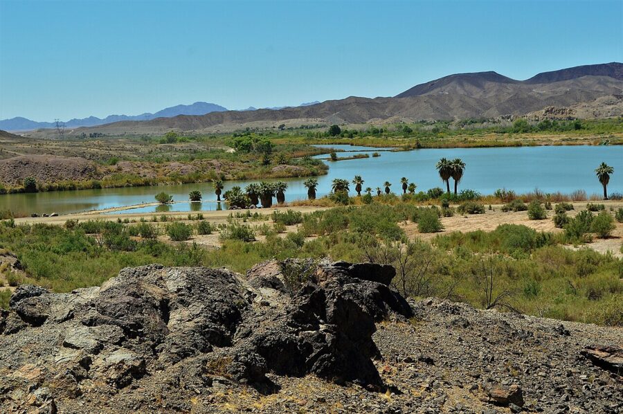
Mittry Lake, a backwater on the Colorado north of town, is where Yuma goes to fish. Reeds and a few palms line it, and a dirt road runs along the shore.

Telegraph Pass
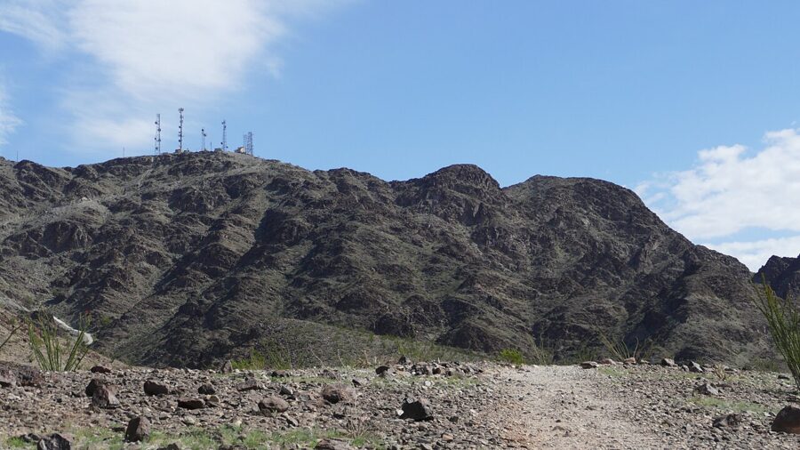
The serious hike near Yuma climbs the Gila Mountains at Telegraph Pass, east of town by Interstate 8, to the radio towers on the ridge above the Foothills. It is steep and fully exposed. Start at first light from November to March, and don’t attempt it on a summer afternoon.

Festivals and events through the year
Yuma’s calendar is almost entirely a winter one. Dates below are as of November 2026; Visit Yuma’s events calendar has the rest.
- December: Christmas at the Crossing at Colorado River State Historic Park, December 18 and 19, 2026. Visit Yuma also lists the Dorothy Young Memorial Electric Light Parade as a winter event.
- December to January: The Sunniest Place on Earth juried art show at the Yuma Art Center, December 4, 2026 to January 22, 2027.
- January: Wild West Days, a Yuma Crossing National Heritage Area event, is scheduled for January 2027.
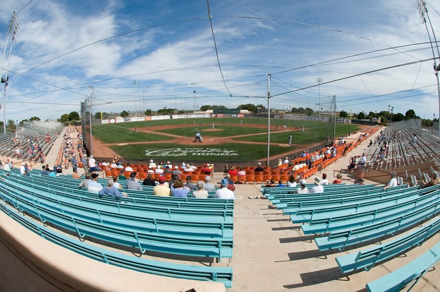
- Winter season: Visit Yuma’s calendar lists the Colorado River Crossing Balloon Festival, the Medjool Date Festival, farm tours and dinners, and a large vintage car show at Desert Sun Stadium.
- March to April: The 75th Yuma County Fair runs March 30 to April 4, 2027.

Where to eat and drink in Yuma
Yuma eats well for its size, with Mexican food, steak and farm produce the strong suits. Every place below showed current hours, menus or online ordering on its own website in November 2026.

- Breakfast: Yuma Landing Bar and Grill at 195 South 4th Avenue opens at 6am and runs a full bar later in the day.
- Coffee: Cafecito at 176 South Main Street, a family-run downtown coffee bar with cold brew on tap, opens 6am to 3pm on weekdays, 7am to 3pm on Saturday and 9am to 3pm on Sunday.
- Lunch: Lutes Casino at 221 Main Street, for the Lute’s Special, which the menu calls its signature burger since 1951: a cheeseburger and a hot dog together, $10.99 as of November 2026. It is open from 11am Monday to Thursday and from 10am Friday to Sunday.
- A beer: Prison Hill Brewing at 278 South Main Street pours its own locally brewed beers and serves food, open daily from 11am until 10pm, or 11pm on Friday and Saturday.
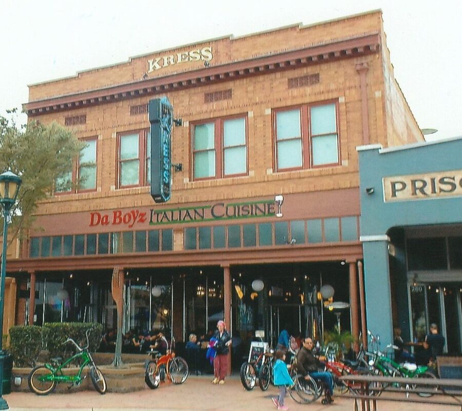
- Pizza: Da Boyz, a Yuma pizza and pasta place since 2002, has a downtown branch and one in the Foothills.
- Dinner out: River City Grill, open since 2000, cooks seafood, steak and vegetarian dishes with Mediterranean, Pacific Rim, Indian and Caribbean spice. It serves 11am to 10pm Monday to Saturday and 4pm to 9pm on Sunday.
- Steak: Julieanna’s Steakhouse at 1951 West 25th Street serves steak and seafood for dinner only, Tuesday to Saturday from 4pm, closed Sunday and Monday.
- Something sweet: A date shake from the farm shop at Martha’s Gardens, on the way to or from the lettuce fields.
When to go and how long to stay
Go from November to March. Average highs at Yuma International Airport run from 68 degrees in December to 79 in March, according to NOAA’s 1991 to 2020 records, and the town gets only about 2.7 inches of rain a year. October and April are warm but workable.
| Month | Average high (F) | Average low (F) |
|---|---|---|
| January | 69 | 48 |
| February | 73 | 51 |
| March | 79 | 55 |
| April | 86 | 60 |
| May | 95 | 67 |
| June | 104 | 75 |
| July | 107 | 82 |
| August | 106 | 83 |
| September | 102 | 77 |
| October | 91 | 66 |
| November | 78 | 54 |
| December | 68 | 47 |
Summer is a different place. Over those same 30 years, the airport averaged about 118 days a year at 100 degrees or more and about 24 at 110 or more. The state parks cut their hours, the Imperial refuge visitor center closes and Castle Dome asks you to call, and the winter vegetable season is over. If you must come in summer, do everything outdoors before 10am.
The winter crowd is mostly retirees in RVs, the winter visitors or snowbirds, who arrive in the fall and leave in spring. They keep the farm tours, the festivals and Los Algodones busy, so book tours and event tickets early in January and February.
Two days is right for most people: one for the river and downtown, one for a desert day trip. Add a third if you want both the Imperial refuge and Castle Dome, or a morning in Los Algodones.
A simple two-day plan
Day one, the crossing. Be at Yuma Territorial Prison at opening time and give it two hours, then walk down to Gateway Park, the Ocean to Ocean Bridge and the East Wetlands path. Lunch at Lutes Casino. Spend the afternoon at Colorado River State Historic Park and on Main Street, with the art center from Tuesday to Saturday, and eat dinner downtown.
Day two, the desert. Leave early on US 95 north. From October 15 to April 15, spend the morning at Castle Dome and the afternoon at Imperial National Wildlife Refuge, ideally Friday to Sunday when its visitor center is open. Out of season, swap in Mittry Lake and a dawn hike at Telegraph Pass, and stop at a date farm for a shake on the way back.
With a third morning. Cross to Los Algodones on foot at Andrade, or drive west to the Imperial Sand Dunes for an hour among the dunes before heading on to San Diego.
Getting around and practical notes
- Car: You need one. Downtown and the riverfront parks are close enough together to park once and walk.
- Bus: Yuma County Area Transit (YCAT) runs local routes, including one to the airport, which can save on airport parking.
- Time zone: Arizona stays on Mountain Standard Time all year. California, across the river, and the Andrade border crossing run on Pacific time.
- Heat: Carry water everywhere, even in winter. The refuges have no services.
- Military country: Yuma Proving Ground and the Barry M. Goldwater Range lie close to the roads north and east of town. Stay on public roads and leave anything that looks like ordnance where it is.
- Border: Declare any food or plants you bring back from Los Algodones, and remember that the US port at Andrade closes at 10pm Pacific time.
Before you set out each morning, check the next day’s forecast and the hours of whatever you planned. In Yuma, the season decides more than the weather does: a sight open daily in February can be shut, or too hot to reach, by June.