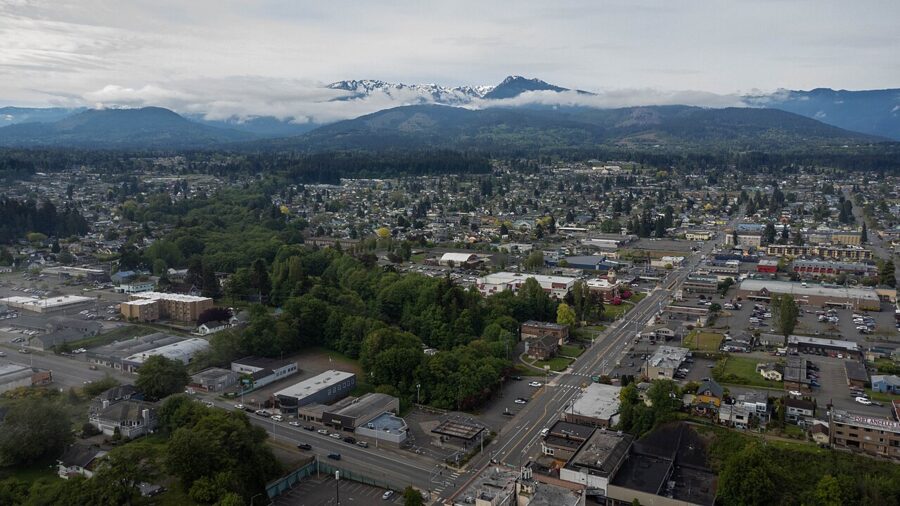
Port Angeles is the place to sleep, eat and refuel for the north side of Olympic National Park, and it has more of its own than its gateway-town reputation suggests. Hurricane Ridge is 17 miles up the road, Lake Crescent is about half an hour west, and the Coho ferry to Victoria, British Columbia, leaves from the foot of downtown. Give it two full days, or three if you want the ridge, the lake and Victoria without rushing.
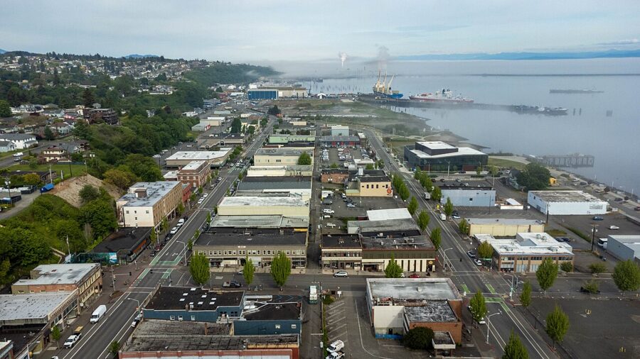
The town is a working harbor of about 20,000 people on the Strait of Juan de Fuca, with log ships at the port, a Coast Guard air station on the spit and a compact downtown a short walk from the ferry. It is not a resort town, which is its use: groceries, gas, hotels and restaurants that stay open after a long day in the park.

Almost everything here is seasonal. Hurricane Ridge Road runs daily in summer but only on winter weekends, the Sol Duc valley closes for the winter, and the ferry adds sailings in summer. Every hour, price and status below is as of November 2026, from the operator’s own site.

On this page
- Port Angeles in brief: where it is and how to get there
- Hurricane Ridge: current access and the lodge
- Olympic National Park Visitor Center
- Lake Crescent and Marymere Falls
- The Elwha River and Madison Falls
- The Coho ferry to Victoria
- The Olympic Discovery Trail
- Things to do in town
- Farther out: day trips and smaller stops
- Festivals and events by month
- Where to eat and drink
- When to go and how many days
- Getting around and practical notes
Port Angeles in brief: where it is and how to get there
Port Angeles sits on the north coast of the Olympic Peninsula, facing Vancouver Island across the strait. Highway 101 runs through town on its loop around the peninsula, between Sequim and Port Townsend to the east and Lake Crescent and Forks to the west; Forks is 56 miles away, a little over an hour.

Flying in
For an airline flight, plan on Seattle-Tacoma International (SEA). Port Angeles’s own airport, William R. Fairchild International, is run by the Port of Port Angeles and handles general aviation and charters rather than regular airline service. From Sea-Tac the drive takes roughly two and a half to three hours.
Driving and the Seattle ferries
From downtown Seattle, take the Washington State Ferries crossing to Bainbridge Island (about 35 minutes), then Highway 305, the Hood Canal Bridge and Highway 101 west through Sequim. Allow about two and a half hours in total, more on summer Fridays and Sundays when ferry lines build. The bridge opens for ships and occasionally closes for wind, so leave some slack.
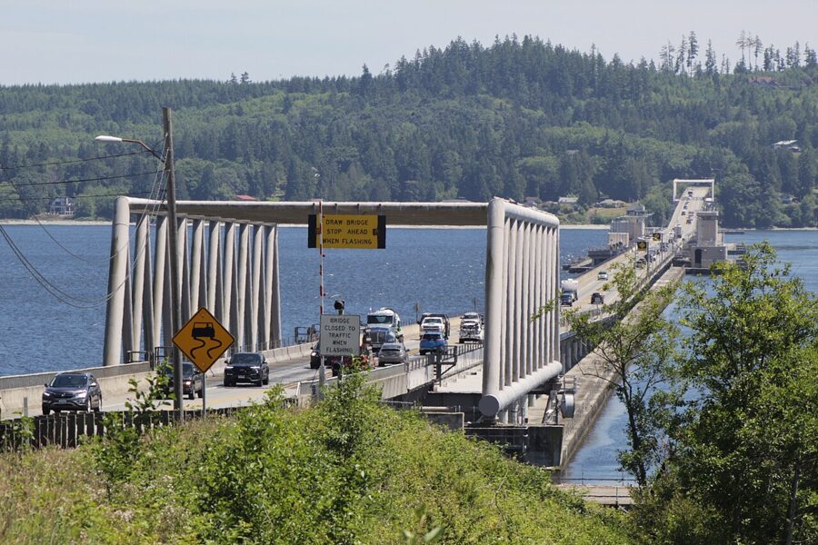

That distance puts Port Angeles beyond most day trips from Seattle: the round trip eats five hours before you reach the park.
Without a car
Clallam Transit’s Route 123, the Strait Shot, links the Bainbridge Island ferry terminal with the Gateway Transit Center downtown daily except New Year’s Day, Thanksgiving and Christmas. As of November 2026 the fare is $10, and a weekday bus leaving Bainbridge at 10:20am reaches Port Angeles at 12:15pm. Most local routes, including the one to Forks past Lake Crescent, are zero-fare through 2026. The seasonal Hurricane Ridge shuttle is expected back in summer 2027.
Hurricane Ridge: current access and the lodge
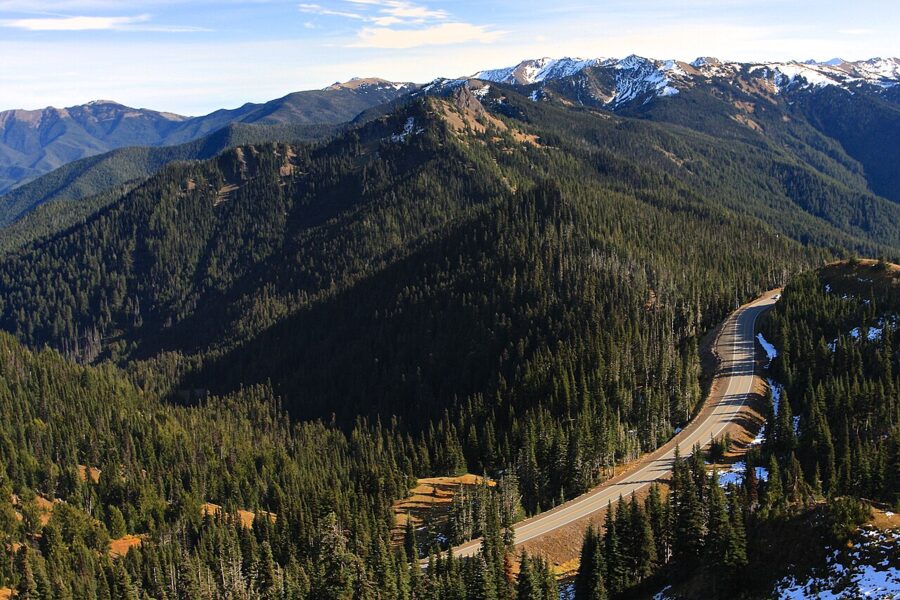
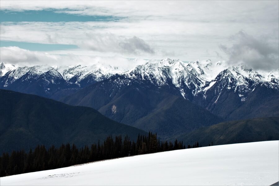
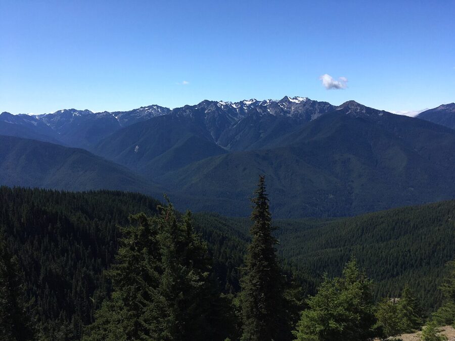
Hurricane Ridge is the reason most people come. It is the easiest mountain area in the park to reach by car: 17 paved miles from the visitor center, about 45 minutes, to subalpine meadows looking across the Olympics to Mount Olympus one way and over the strait to Vancouver Island the other. The name comes from the wind, which the park says gusts past 75 miles an hour, and 30 to 35 feet of snow falls in a typical year.

Is Hurricane Ridge Road open?
As of November 20, 2026, the park lists Hurricane Ridge Road as closed because of ice and significant rockfall, reopening when conditions allow. Winter operations are scheduled to begin November 28, weather permitting: the road is planned to open Friday through Sunday and some holiday Mondays, with uphill traffic usually allowed from 9am to 4pm. Every vehicle must be back below the Heart O’ the Hills entrance station by 5pm, and the road closes on Thanksgiving and Christmas Day.
Chains are required on all vehicles above Heart O’ the Hills from after Thanksgiving through April 1, four-wheel drive included, though alternate traction devices approved by the Washington State Patrol are accepted. Check the park’s alerts page or recorded road line the morning you go, because the road can open as late as noon. Hurricane Hill Road and Obstruction Point Road are closed for the winter.
What happened to the lodge
The Hurricane Ridge Day Lodge burned down on May 7, 2023, and as of November 2026 it has not been replaced. There is no food service, gift shop or indoor warming area at the top, only temporary trailers with restrooms and a visitor contact station staffed intermittently on winter weekends.
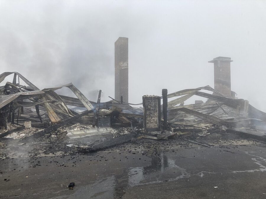
A project to replace the water system continues in the main parking lot through 2026, so there is no drinking water at the top. Bring food, water, warm layers and blankets: in winter the park tells people to treat their car as the warming hut. Snowshoe and ski rentals are not offered on the ridge, so rent in town.
Skiing, sledding and tubing
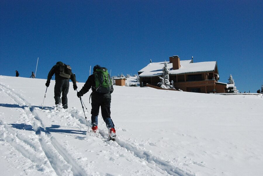
The Hurricane Ridge Ski and Snowboard Area is one of the few lift-served ski areas inside a national park. For 2026-27 it plans to run Saturdays, Sundays and Monday holidays through March, 10am to 4pm, weather and road permitting. Its tubing park uses only its own tubes, and children eight and under can sled free at the park’s snowplay area.
Summer on the ridge
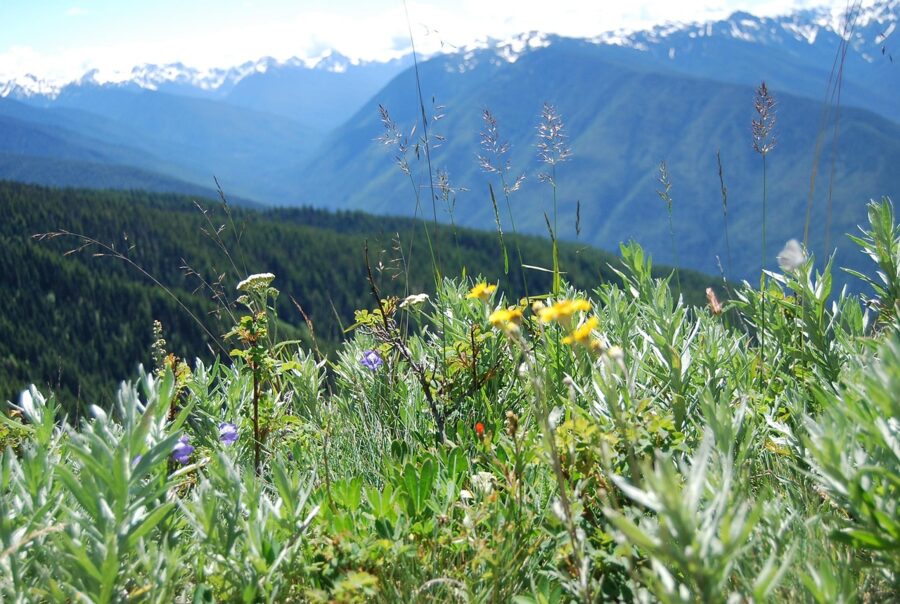
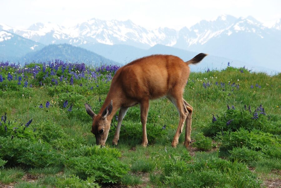
From late June into September the meadows fill with wildflowers and black-tailed deer graze beside the paths. The park meters traffic at Heart O’ the Hills when the lot is full, with waits of up to two hours; arrive before 10am or after 5pm.
| Trail at Hurricane Ridge | Distance | Climb | Notes |
|---|---|---|---|
| Big Meadow | 0.25 mile one way | Under 50 ft | Paved, wheelchair accessible with assistance |
| Cirque Rim | 0.5 mile one way | Under 50 ft | Paved, views down to Port Angeles |
| High Ridge | 0.5 mile loop | 220 ft | Partly paved, spur to Sunrise Point |
| Hurricane Hill | 1.6 miles one way | 700 ft | Paved; trailhead road closed in winter |
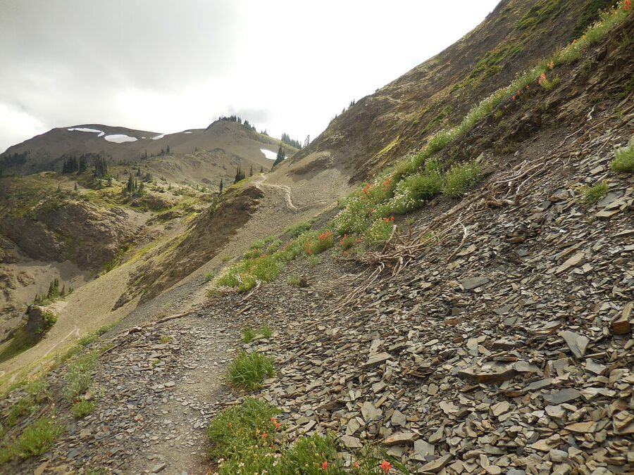
| Klahhane Ridge | 3.8 miles one way | About 1,050 ft | Ridge walk, then a steep final mile |
Distances are from the park’s trail table; pets and bicycles are not allowed on any of them. Allow half a day for the drive and two short walks, a full day with Hurricane Hill.
Olympic National Park Visitor Center
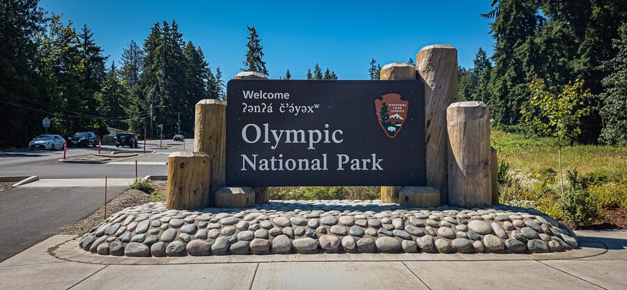
The park’s main visitor center is at 3002 Mount Angeles Road, at the foot of the road up to the ridge. As of November 2026 it is open daily from 9am to 4pm, except Thanksgiving, December 24 and Christmas Day. The Wilderness Information Center beside it issues backcountry permits and lends bear canisters.
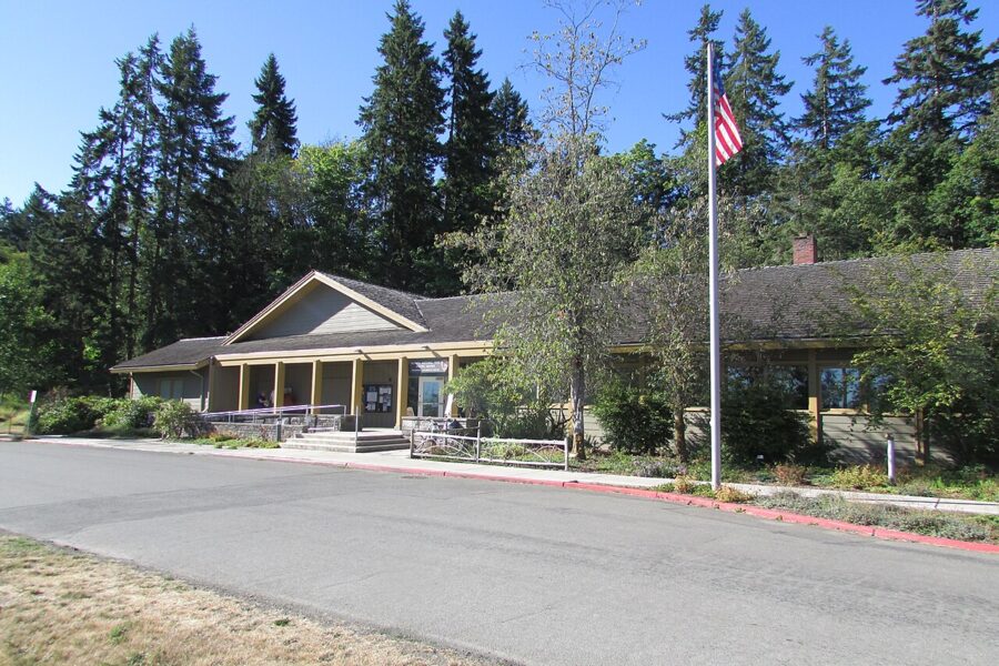

The entrance fee, as of November 2026, is $30 per private vehicle, $25 per motorcycle and $15 per person on foot or bike, each valid for seven days; under-16s enter free. An Olympic annual pass costs $55. Pay at Heart O’ the Hills or online in advance; Highway 101 along Lake Crescent has no entrance station.
Lake Crescent and Marymere Falls
Lake Crescent lies about 18 miles west of Port Angeles on Highway 101, roughly 30 minutes’ drive. It is a glacier-carved lake 624 feet deep, so low in nutrients that the park says you can see 60 feet down in places, which is why it stays blue-green even on gray days. A landslide about 7,000 years ago cut it off from Lake Sutherland and left two trout strains, the Beardslee and the Crescenti, found nowhere else.
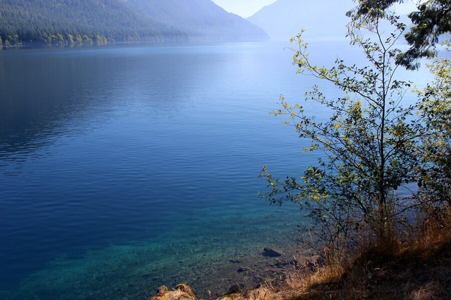

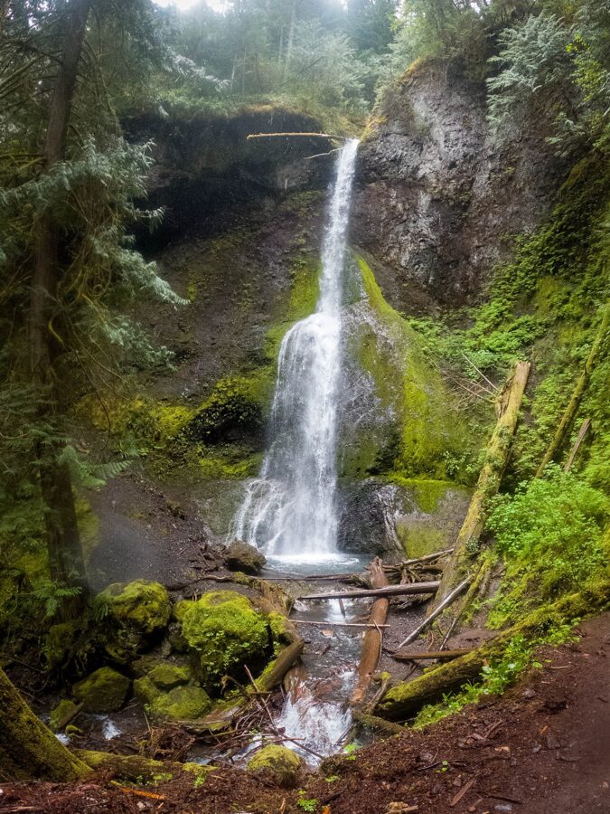
Marymere Falls
Marymere Falls is the classic short walk: 0.9 mile one way from the Storm King area on the south shore, through old-growth forest to a 90-foot waterfall, with about 400 feet of climbing at the end. Allow an hour and a quarter. The trailheads and Bovee’s Meadow picnic area were open in late November 2026; the Storm King Ranger Station was closed for the season.

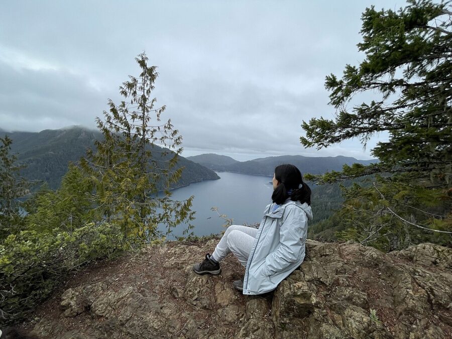
For a harder morning, the Mount Storm King trail branches off the same path and climbs 2,000 feet in 2.2 miles to a viewpoint above the lake. The park’s maintained trail ends below the top.
The Spruce Railroad Trail
The Spruce Railroad Trail follows the north shore on a railroad bed built in World War I to haul spruce for airplanes. It is paved and accessible, 4 miles one way, with 6.5 more paved miles of the Olympic Discovery Trail continuing west. It passes through two restored tunnels and is the only trail around the lake that allows bicycles and leashed dogs.
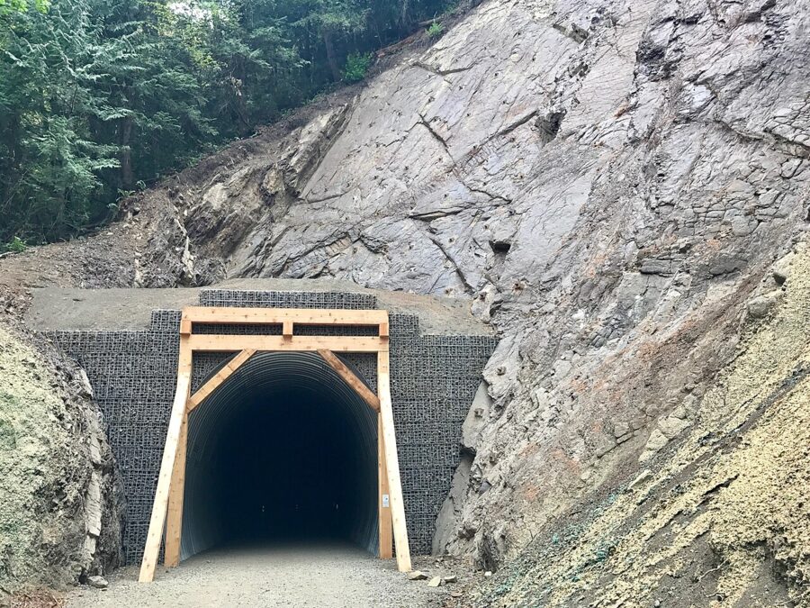

Lodge, boats and swimming
Lake Crescent Lodge at Barnes Point rents rowboats in season and has a lakeside dining room. The park listed it as open in late November 2026, but its season has traditionally centered on late spring to early fall, so check which rooms and meals are running before you count on lunch. The Log Cabin Resort and Fairholme Store were closed for the season.
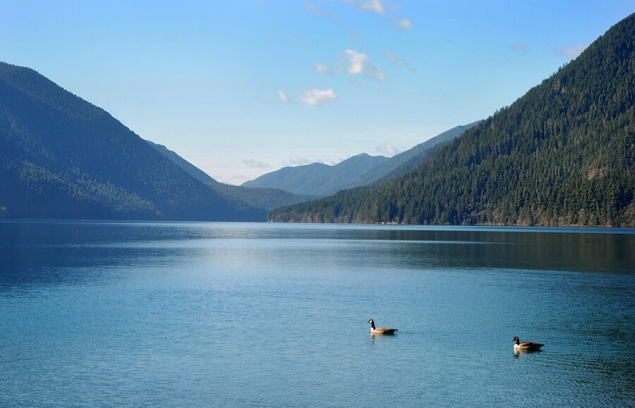
People swim at East Beach and Bovee’s Meadow in July and August, though the water stays cold. Alcohol and glass are banned on the public beaches. Allow half a day for Marymere Falls and a picnic, a full day with the Spruce Railroad Trail.
The Elwha River and Madison Falls
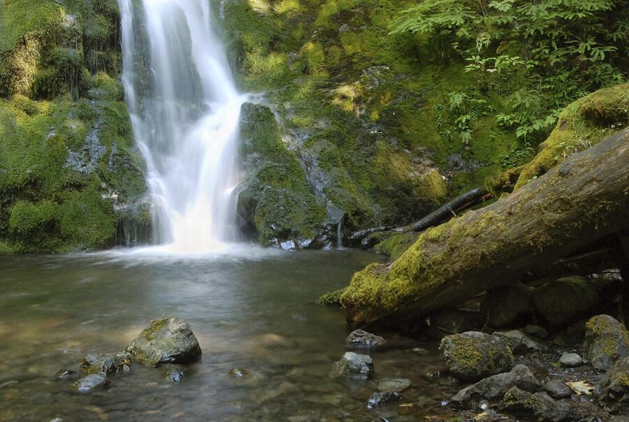
The Elwha valley is 11 miles west of town, about 30 minutes, and the site of one of the largest river restorations the Park Service has run. The Elwha Dam of 1913 and the Glines Canyon Dam of 1927 blocked the river’s salmon for most of a century. Congress authorized their removal in 1992, both were gone by 2014, and salmon were spawning inside the park within months.
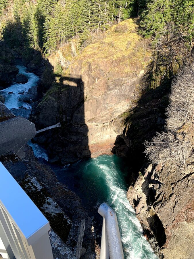

Olympic Hot Springs Road has been closed to cars for several years at the Madison Falls parking area, after the river washed out the road about a mile inside the park. Walkers, cyclists and leashed dogs can continue on the road via a 0.8-mile bypass trail. The park gives the Glines Canyon Spillway Overlook as 3.6 miles one way with 876 feet of climbing, a good half-day bike ride.
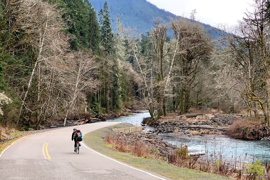

With half an hour, walk to Madison Falls: a paved, wheelchair-accessible tenth of a mile to a 60-foot waterfall beside the parking area, which has an accessible vault toilet.
The Coho ferry to Victoria
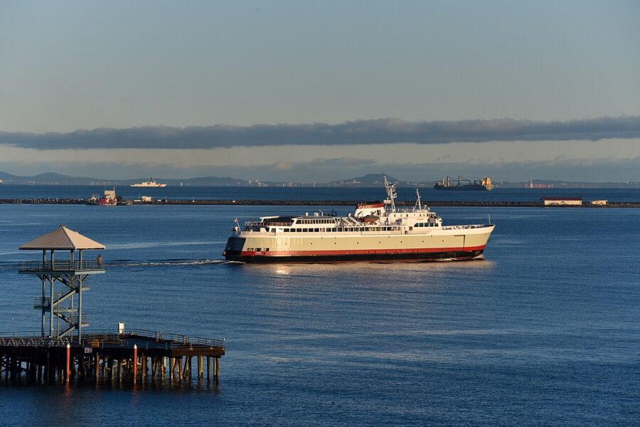
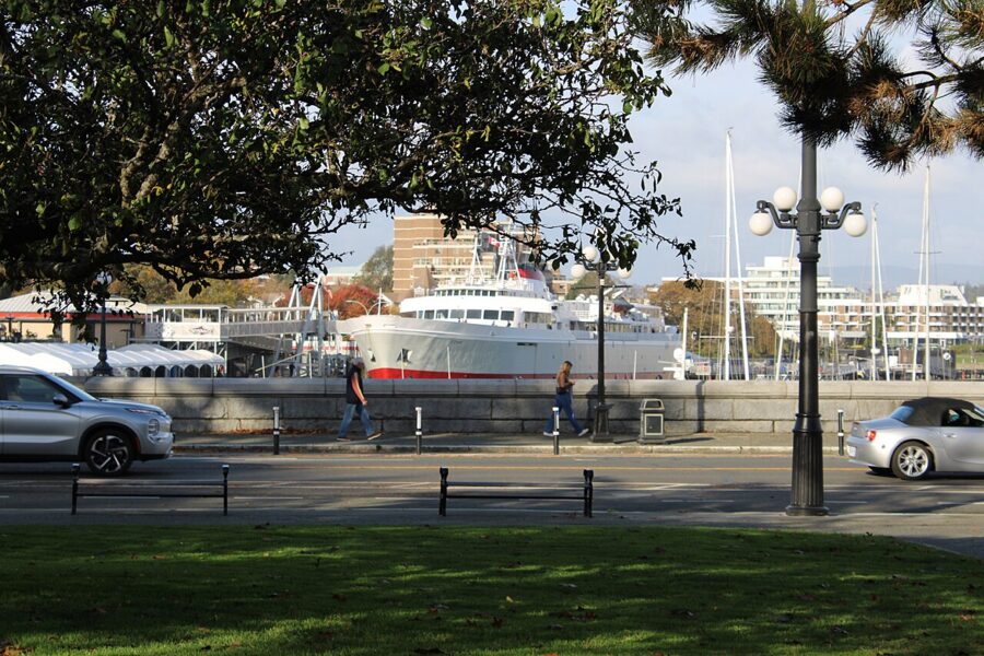
Victoria is a 90-minute crossing from downtown on the Black Ball Ferry Line’s Coho, an easy day trip on foot. The terminal is at 101 E. Railroad Avenue. You need a passport, passport card, NEXUS card or enhanced driver’s license to enter Canada and to come back.
| Season (as of November 2026) | Leaves Port Angeles | Leaves Victoria |
|---|---|---|
| Nov 20, 2026 to Jan 3, 2027 | 8:20am, 1:45pm | 11:30am, 5:00pm |
| Jan 4 to Feb 3, 2027 | Out of service for annual maintenance | |
| Feb 4 to Mar 13, 2027 | 8:20am, 1:45pm | 11:30am, 5:00pm |
| Mar 14 to May 19, 2027 | 8:20am, 1:45pm | 10:30am, 4:00pm |
| May 20 to Jun 16, 2027 | 8:20am, 12:45pm, 5:15pm | 10:30am, 3:00pm, 7:30pm |
| Jun 18 to Sep 6, 2027 | 8:20am, 12:45pm, 5:15pm, 9:30pm | 6:10am, 10:30am, 3:00pm, 7:30pm |
Times are local at each port. British Columbia now stays on daylight time all year, so until March 13, 2027 Victoria is an hour ahead of Port Angeles: the 8:20am winter sailing arrives at 10:50am local time. One-way fares, fuel surcharge included, are $25 for adults, $12.50 for children 5 to 11, free for 4 and under, $88 for a car and driver up to 18 feet and free for bicycles; an online vehicle reservation adds $12 one way.
For a day trip, take the morning boat and the last one back, which gives you about five hours in Victoria in winter. Walk on: the Inner Harbour and the Royal BC Museum are close to the terminal.

The Olympic Discovery Trail
The Olympic Discovery Trail is a mostly paved walking and cycling route that will eventually run from Port Townsend to La Push on the Pacific; long sections across the north of the peninsula are open now. In Port Angeles it is the Waterfront Trail, starting at City Pier at the foot of Lincoln Street, paved and flat for miles in both directions.
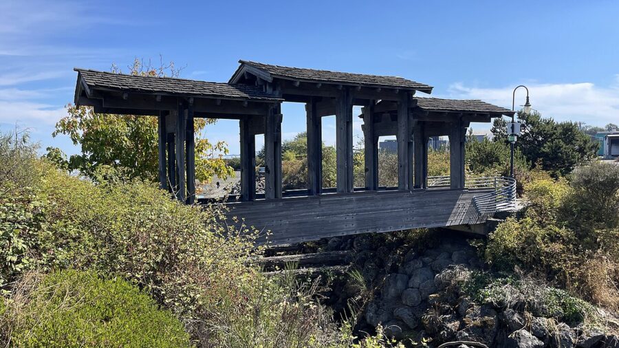
East, the trail follows the shore about 4 miles to Morse Creek, the easiest waterfront ride on the peninsula, then climbs toward Sequim and the restored Dungeness River trestle, more than 700 feet long. West, it crosses the Elwha River slung beneath the highway bridge on its way to Lake Crescent. Washington recently changed its e-bike rules, so check which classes a section allows.
Things to do in town
City Pier, Hollywood Beach and the waterfront
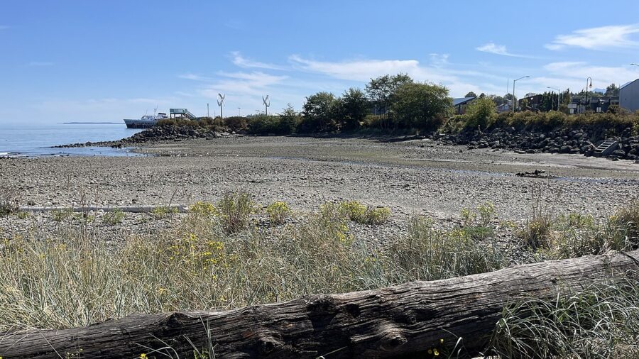
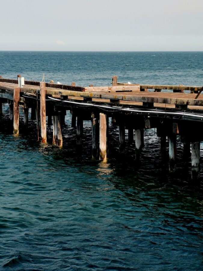
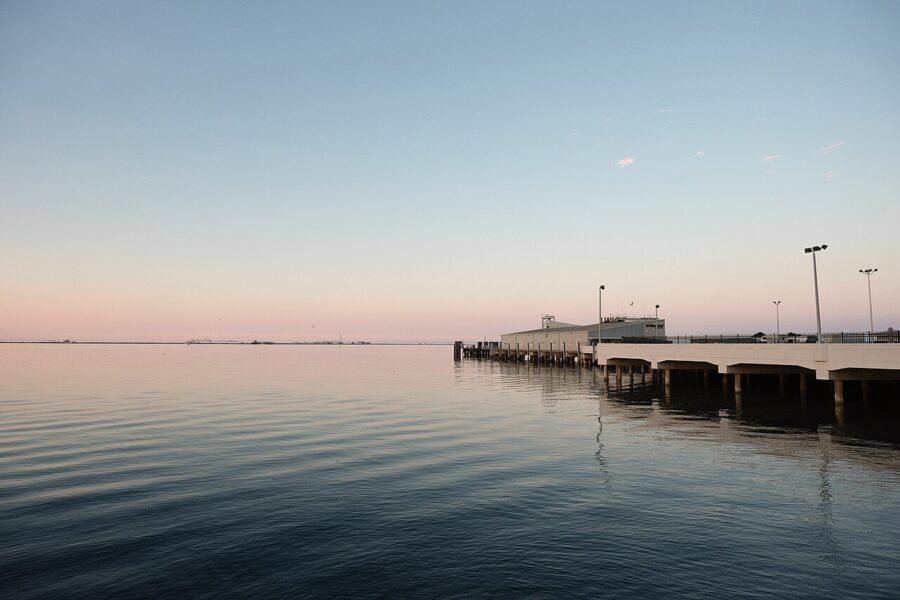
City Pier is the center of the waterfront, with an observation tower, Hollywood Beach beside it and the trail along the shore. Watch the Coho come and go, look across to Vancouver Island and, at low tide, explore the rocks. It costs nothing.

Feiro Marine Life Center
Feiro Marine Life Center on City Pier is a small aquarium of the strait’s sea life, with touch tanks of sea stars, anemones and urchins. As of November 2026 its winter hours are Thursday to Monday, noon to 4pm, and it closes on Thanksgiving, Christmas Eve and Christmas Day. Admission is $6 for adults and $5 for seniors and ages 3 to 17. Allow 45 minutes; it is the best rainy-afternoon stop with children.
Ediz Hook
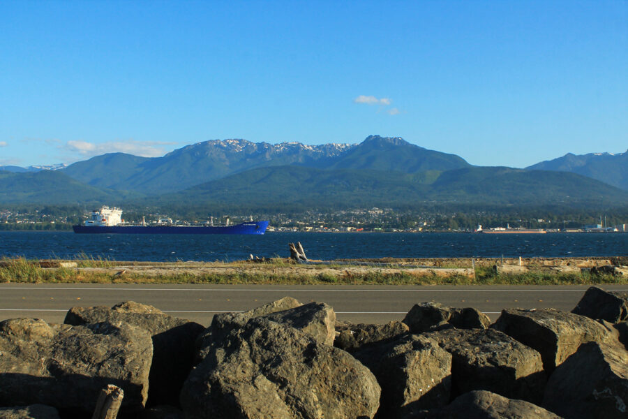
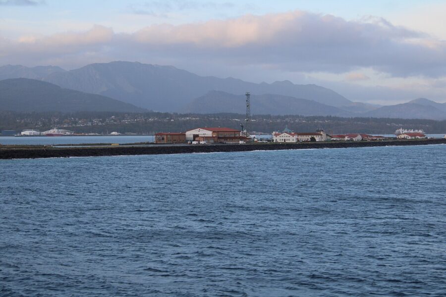
Ediz Hook is the natural sand spit that curls around the harbor and shelters it from the strait. A road runs out along it past the mill, with pullouts for beach walks and views back to the town and the Olympics. Coast Guard Air Station Port Angeles occupies the far end, so the public part ends short of the tip.


Port Angeles Fine Arts Center and Webster’s Woods
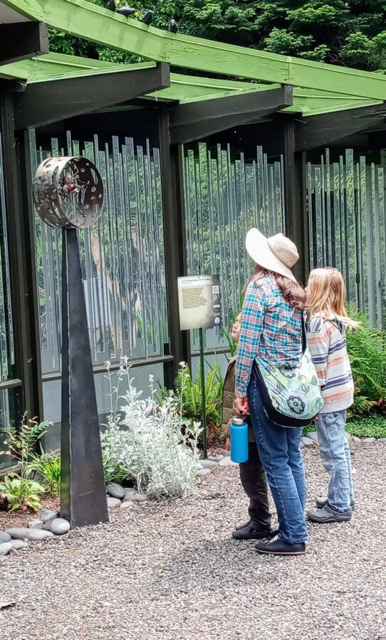
At 1203 E. Lauridsen Boulevard, the Fine Arts Center pairs a gallery with Webster’s Woods, a five-acre forest sculpture park open dawn to dusk daily. The gallery reopens November 27, 2026 for the Makers Market (Thursday to Sunday, 11am to 5pm, through December 20). The Wintertide Light Art Experience lights the woods from November 27 to January 3, with a ticketed Festival of Lights on December 12.

Downtown and the underground
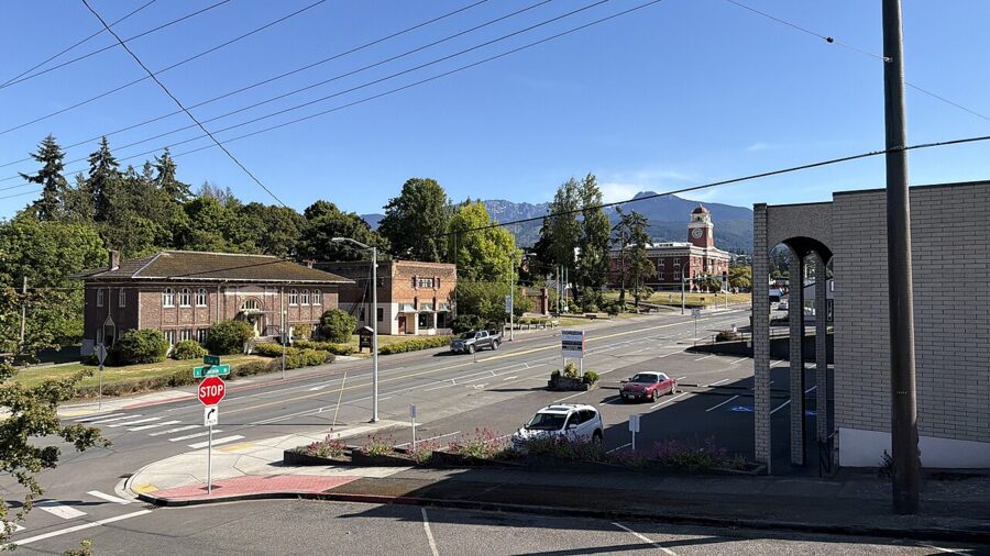
Downtown is worth a slow hour for its bookstores, galleries, outdoor shops and murals. In the 1910s the city raised its low downtown streets with fill, leaving some original ground floors below today’s sidewalks. The Port Angeles Underground and Heritage Tour visits those spaces on a seasonal schedule; confirm days and price with the visitor center.
Field Arts & Events Hall on the waterfront stages concerts, theater and films, including the Nutcracker each December. Until January 4, 2027, the Winter Ice Village at 121 W. Front St. has outdoor skating daily from noon to 9pm.
Port Angeles Farmers Market
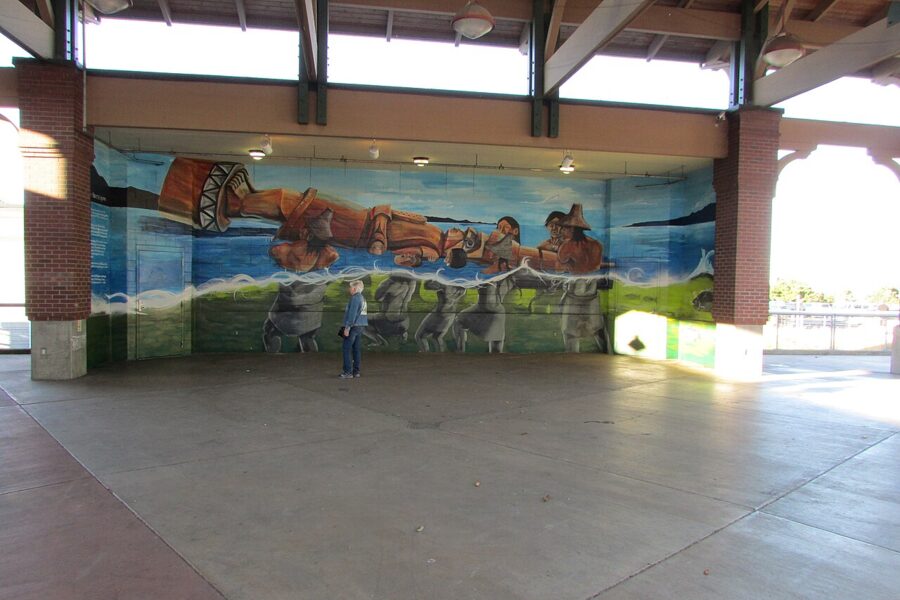
The farmers market meets year-round every Saturday under the Gateway Transit Center pavilion at Front and Lincoln streets, 10am to 2pm in fall and winter. Expect produce, baked goods, eggs, flowers, local meat, crafts and food carts.

Farther out: day trips and smaller stops
Salt Creek Recreation Area and Tongue Point
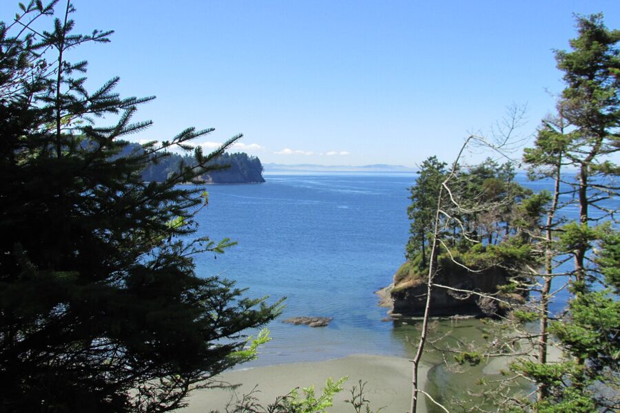
Salt Creek Recreation Area is a Clallam County park on the strait off Highway 112 near Joyce, about half an hour west. At low tide, Tongue Point has some of the best tide pools on the north coast, with Crescent Bay’s beach beside it. The park also holds a campground and the gun emplacements of Camp Hayden, a World War II coastal battery.


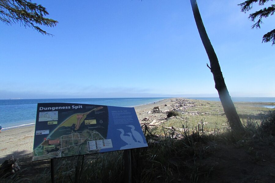
Dungeness Spit and Sequim
Dungeness National Wildlife Refuge, near Sequim about 30 minutes east, protects one of the longest natural sand spits in the country. It is open daily from sunrise to half an hour before sunset, and entry is $3 per family or group of up to four adults, cash or check. Volunteers lead tours of the New Dungeness Lighthouse near the tip, but the walk out is about ten miles round trip on sand, so most people stop at the overlook and a stretch of beach.

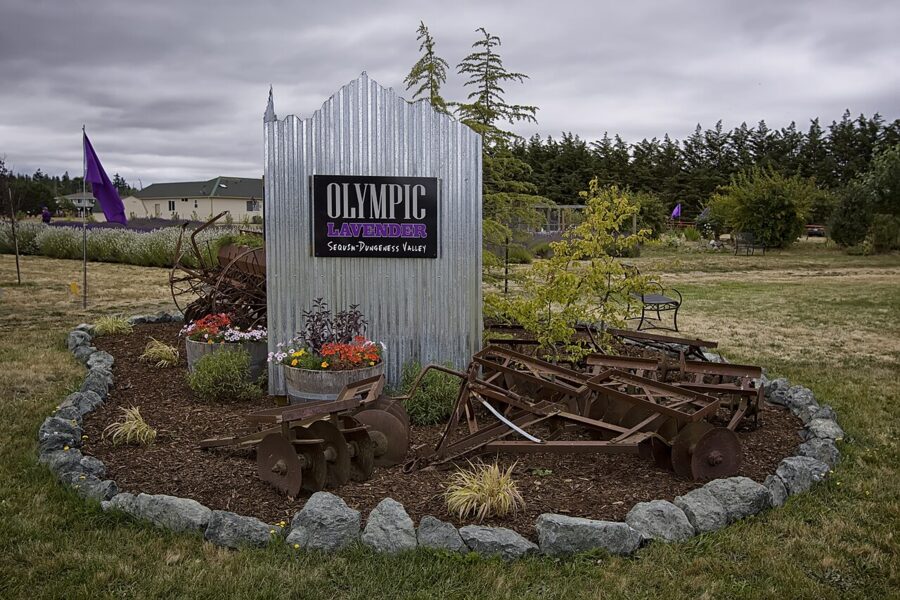
Sequim’s lavender blooms from mid-June to mid-September, usually peaking in mid-July, and the Sequim Lavender Festival is scheduled for July 16 to 18, 2027. Many farms open only in season.

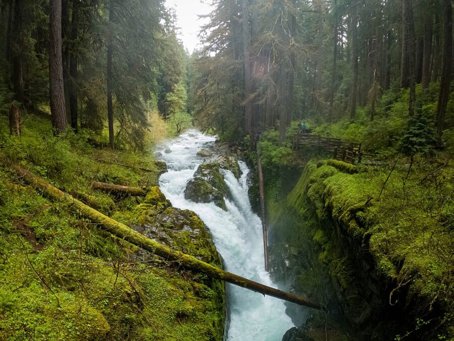
The Hoh Rain Forest, Sol Duc and the coast
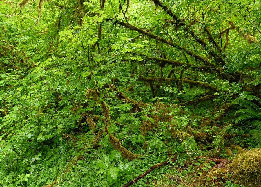
The Hoh Rain Forest is a long day: the park puts it at 91 miles and about two and a quarter hours from the visitor center, and its lot fills by 10am in summer. Sol Duc Falls is 40 miles away, about an hour and a quarter, but the Sol Duc road and resort are closed for the winter as of November 2026. For several days on the Pacific beaches, base yourself farther west.


Festivals and events by month
- March: Squatchcon, a comic and cosplay convention, March 18 to 21, 2027.
- May: the Juan de Fuca Festival, three days of music every Memorial Day weekend.
- July: peak lavender, and the Sequim Lavender Festival (July 16 to 18, 2027).
- August: Ride the Hurricane on August 1, 2027, when the ridge road closes to cars from 7am to noon for a 36-mile ride from City Pier.
- October: the free Dungeness Crab Festival on the waterfront, always on the Canadian Thanksgiving weekend, and the Olympic Peninsula Fungi Festival.
- November and December: the Festival of Trees (November 24 to 29, 2026), the Winter Ice Village, Wintertide in Webster’s Woods and the Nutcracker.
Crab Festival weekend draws about 12,000 people, many of them off the Victoria ferry, so book rooms early.
Where to eat and drink
Each place below showed current hours, menus or events on its own site in November 2026. Dungeness crab, named for the spit east of town, is the local dish.
- Seafood and dinner: Kokopelli Grill, 203 E. Front St., serves Northwest seafood and steaks with Southwestern flavors and has a water-view lounge. Bella Italia, downtown, does Italian with plenty of seafood.
- Pub food and beer: Next Door Gastropub, 113 W. First St., has ten rotating taps and runs a text waitlist when it is full. Barhop Brewing, 124 W. Railroad Ave., pairs its beer with sourdough pizza; winter hours are 2pm to 9pm Monday to Thursday and noon to 9pm Friday to Sunday.
- A newer brewery: Mighty Pine Brewing on E. Eighth St., family-run since 2024, keeps the same hours as Barhop and welcomes dogs and children.
- Harbor views: 48 Degrees North, in the Red Lion Hotel by the ferry.
- Wine: Harbinger Winery’s tasting room is at 2358 Highway 101 West, on the way to Lake Crescent. Camaraderie Cellars opens May to October, noon to 5:30pm.
- Picnic food: the Saturday market’s carts and bakers, and the town’s grocery stores, since the ridge has no food at all.
When to go and how many days
July through September is best for the park: every road is open, the ridge is snow-free and the wildflowers peak in July. It is also the most crowded time, so late June and September are the sweet spots.

October to May is wetter and quieter. Sol Duc closes, Hurricane Ridge opens only on winter weekends and the ferry drops to two crossings a day, with a month off in January. Winter still works for snowshoeing and a quiet Lake Crescent if you plan around road closures.
Two days covers the main sights; three lets you add Victoria or a coast day. Pack layers in every season, because the ridge is a mile higher and much colder than the harbor.
A one-day plan
Start at the visitor center at 9am, then drive up the ridge for the Cirque Rim and Big Meadow paths, adding Hurricane Hill in summer. Come down for lunch downtown and spend the afternoon at Lake Crescent and Marymere Falls. Finish with sunset on City Pier or Ediz Hook.
A two-day plan
Day one is the ridge in the morning, then Feiro, City Pier and an evening on the Waterfront Trail. Day two goes west: Madison Falls and the Elwha, then Lake Crescent with Marymere Falls and the Spruce Railroad Trail, and Salt Creek on the way back if the tide is low. A third day is for the morning Coho to Victoria.
Getting around and practical notes
- A car helps. The park’s highlights are spread out, and no bus runs to the ridge outside summer. Downtown is walkable, with street parking and lots near the pier.
- Buses are mostly free. Local Clallam Transit routes are zero-fare through 2026; the Strait Shot and the ridge shuttle charge a fare.
- Park passes. Buy online before you arrive; there is no separate lane for pass holders when the line is metered.
- Bikes and pets. Both are banned on most park trails but welcome on the Spruce Railroad Trail, the Olympic Discovery Trail and the Elwha road.
- Patchy signal. Download maps and check alerts before you leave town.
One last tip: in winter, check the park’s Hurricane Ridge alert before breakfast. If the road is closed, swap the day and go west to Lake Crescent and the Elwha, which stay open while the ridge waits for the plows.