The best day trips from Seattle are Mount Rainier’s Paradise meadows (about two and a half hours by car), Bainbridge Island (35 minutes by ferry, no car needed), Snoqualmie Falls (40 minutes) and Leavenworth (about two and a half hours over Stevens Pass). Behind them come Port Townsend, Whidbey Island, Tacoma, Bellingham, La Conner, Vashon and Diablo Lake, and three of the eleven work without a car at all.
Every pick here is a same-day round trip from downtown Seattle. Drive times assume no traffic, which on I-5 is a big assumption; ferry and train times are from the timetables in force as of November 2026. Season matters more than distance: the easy summer road to Paradise becomes a chains-required winter run with a gate that closes uphill at 3pm.
On this page
- The short answer: every pick at a glance
- 1. Mount Rainier: Paradise
- 2. Bainbridge Island
- 3. Snoqualmie Falls and North Bend
- 4. Leavenworth
- 5. Port Townsend
- 6. Whidbey Island: Langley, Coupeville and Deception Pass
- 7. Tacoma
- 8. Bellingham and Chuckanut Drive
- 9. La Conner and the Skagit Valley
- 10. Vashon Island
- 11. Diablo Lake and the North Cascades Highway
- A two-day plan for Mount Rainier
- Traffic, tolls, parking and booking ahead
- Trips that need more than a day
The short answer: every pick at a glance
The order runs from the trip that gives the most for the time spent getting there down to the ones that shine in one season.
| Place | Distance | Time each way | Best for |
|---|---|---|---|
| 1. Mount Rainier (Paradise) | About 110 miles | About 2.5 hours by car | Mountain views, wildflowers, snowshoeing |
| 2. Bainbridge Island | About 9 miles by water | 35-minute ferry | A car-free half day, art, gardens |
| 3. Snoqualmie Falls and North Bend | About 30 miles | 35 to 45 minutes | A short trip, a big waterfall, easy hikes |
| 4. Leavenworth | About 120 miles | About 2.5 hours | Bavarian-style town, Christmas lights, rivers |
| 5. Port Townsend | About 50 miles plus a ferry | About 2 hours | Victorian seaport, lighthouse, beaches |
| 6. Whidbey Island and Deception Pass | About 85 miles as a loop | About 1.5 hours | Beaches, small towns, whales in spring |
| 7. Tacoma | About 35 miles | 40 minutes by car, 50 by train | Museums, parks, rainy days |
| 8. Bellingham and Chuckanut Drive | About 90 miles | 1.5 hours by car, about 2 by train | College town, coastal drive |
| 9. La Conner and the Skagit Valley | About 65 miles | About 1.25 hours | Tulips in April, snow geese in winter |
| 10. Vashon Island | About 10 miles to the dock | 20-minute ferry | A quiet island and a lighthouse beach |
| 11. Diablo Lake | About 130 miles | About 2.5 hours | Turquoise water, summer and fall drives |
If you only have one free day and a car, go to Rainier. If you have no car, take the Bainbridge ferry. If you have half a day, Snoqualmie Falls is the one that fits.
1. Mount Rainier: Paradise
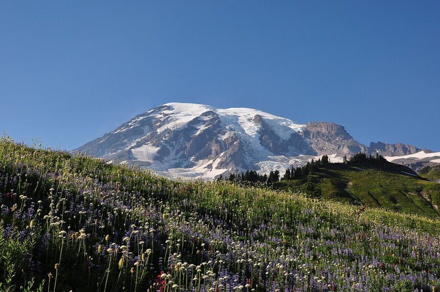

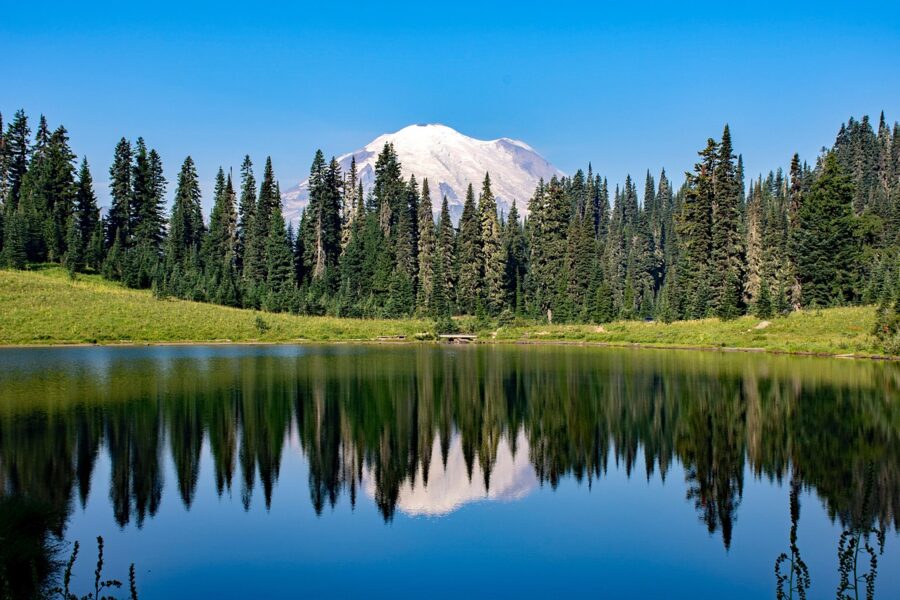
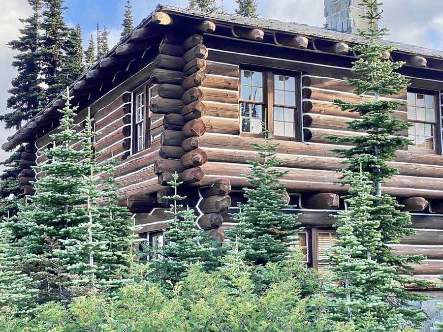
Yes, Mount Rainier is a day trip from Seattle, and it is the best one. Paradise sits on the mountain’s south side at about 5,400 feet, close enough to the glaciers that the summit fills the windshield on the last switchbacks. In summer the meadows bloom; in winter Paradise is among the snowiest places on Earth where snowfall is measured regularly.
What to do. The paved walk to Myrtle Falls is about a mile round trip; the Skyline Trail loop, about 5.5 miles with a steep climb to Panorama Point, is the one to do if you have the legs. On the drive up, stop at Longmire’s small museum and at Christine Falls and Narada Falls. In winter, people snowshoe and sled from the Paradise lot.
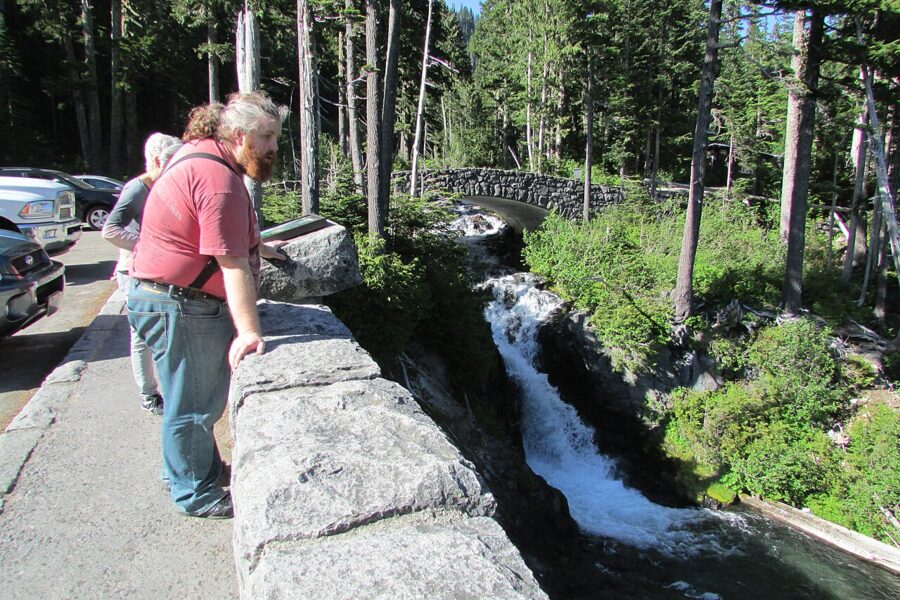

How to get there. Drive south through Elbe and Ashford to the Nisqually Entrance, the only entrance open all year. There is no public transit. As of November 2026 the park charges $30 per vehicle for a seven-day pass, entry is cashless, and the park has said it will not run a timed-entry reservation system in 2026.
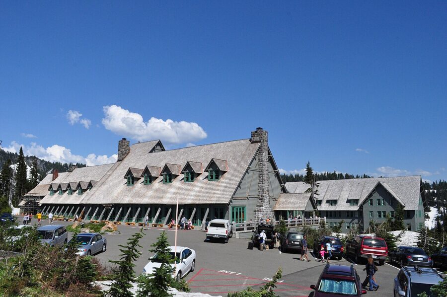

Winter rules. Every vehicle in the park must carry tire chains between November 1 and May 1, four-wheel drive included. The Longmire to Paradise gate typically opens at 9am and closes to uphill traffic at 3pm and downhill at 4pm, and after a storm it may not open at all. The Paradise visitor center opens only on weekends and holidays, 10am to 3:30pm, through January.
Where to stay and when to go. Ashford, just outside the Nisqually Entrance, has cabins and lodges. Late July to mid-August is wildflower time and busy, while September is quieter and often clear. In summer leave Seattle by 7am, because the Paradise lot fills by late morning on weekends.
2. Bainbridge Island
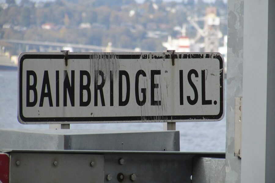

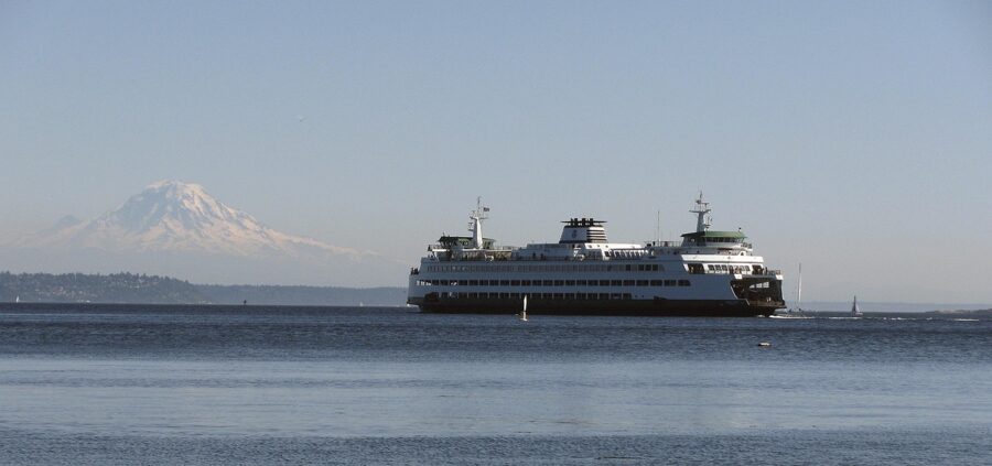
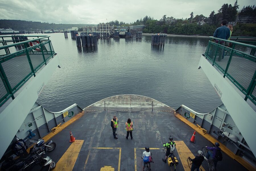
Bainbridge is the trip you can decide on at breakfast. Ferries leave Colman Dock on the downtown waterfront roughly every 45 to 55 minutes for most of the day and take about 35 minutes. Walk-on passengers pay only on the Seattle side; the adult round-trip fare was $11.35 after the May 2026 increase, and since March 1, 2026 card payments carry a 3% surcharge.
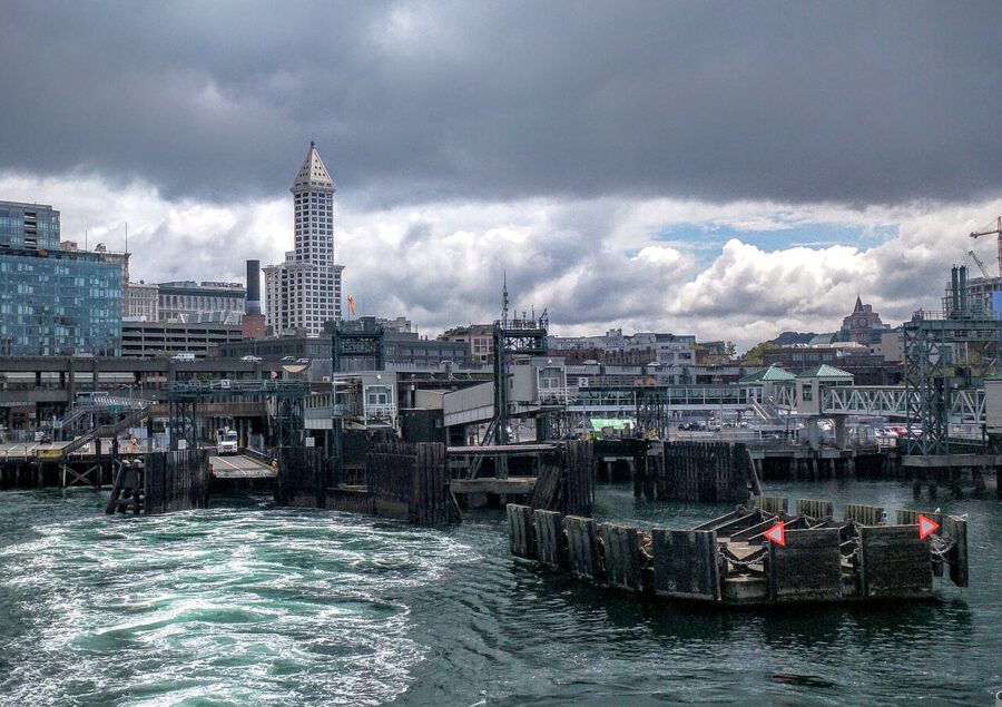

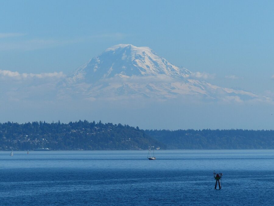

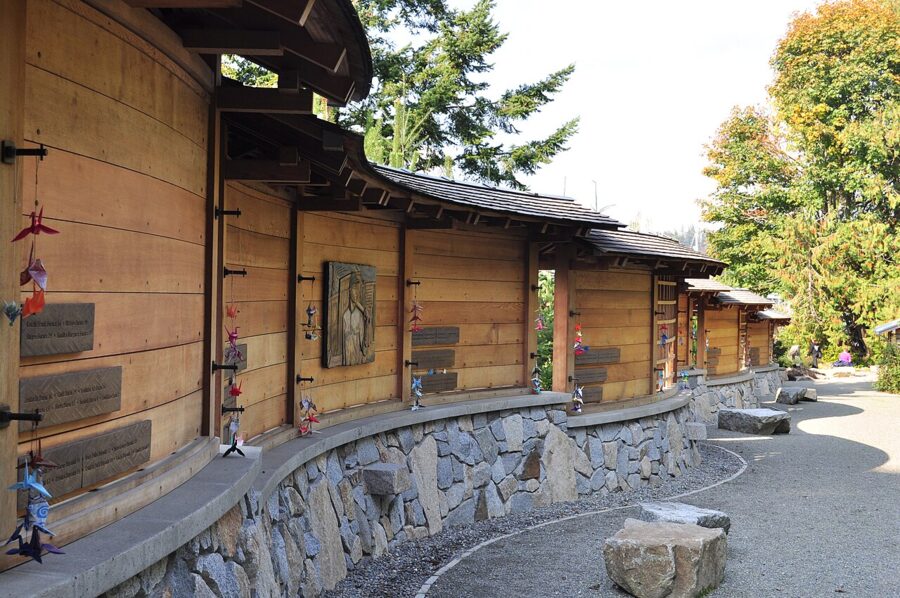
What to do. The Bainbridge Island Museum of Art is a five-minute walk from the terminal, open daily 10am to 5pm and free. Across Eagle Harbor from Winslow, the Bainbridge Island Japanese American Exclusion Memorial marks the dock where, on March 30, 1942, the first Japanese Americans forced from their homes under Executive Order 9066 were put on a ferry; its wall carries the words “Let It Not Happen Again”.

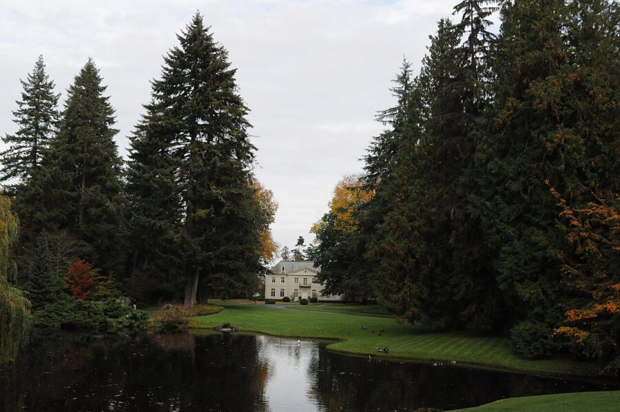
The Bloedel Reserve, a former estate turned into a 2-mile loop of forest, moss garden and Japanese garden, is at the island’s north end, so you need a car, a bike or a ride. As of November 2026 it opens 10am to 4pm Tuesday to Sunday with a suggested last entry at 2:30pm, and timed tickets are recommended.

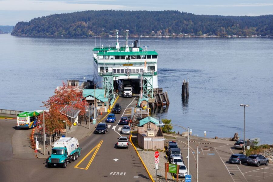
When to go. Any season; the last boats back run late, so few people stay over. A winter day with a low sun over the water is as good as summer.
3. Snoqualmie Falls and North Bend
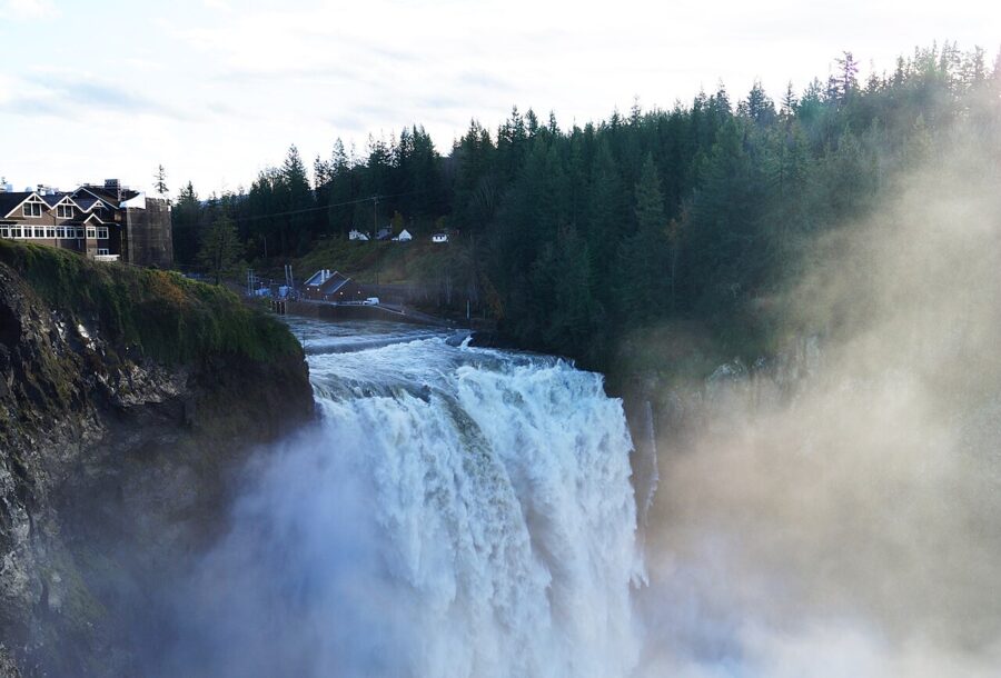

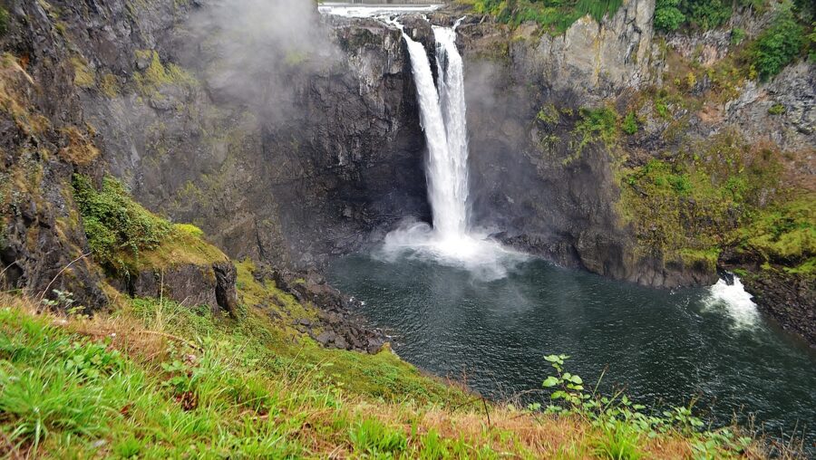
This is the half-day trip: about 30 miles east on I-90, 35 to 45 minutes from downtown. The falls are open from sunrise to sunset every day of the year. The paid lot by the upper viewpoint charges $7 an hour as of November 2026, and there is a free lot across the road.
What to do. See the falls from the upper decks, then take the steep trail down to the lower viewpoint by the river, about 0.7 mile each way. The Salish Lodge sits at the top of the falls and its dining room is the obvious lunch. In the town of Snoqualmie, the Northwest Railway Museum keeps old trains around the restored depot.
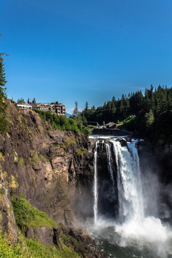

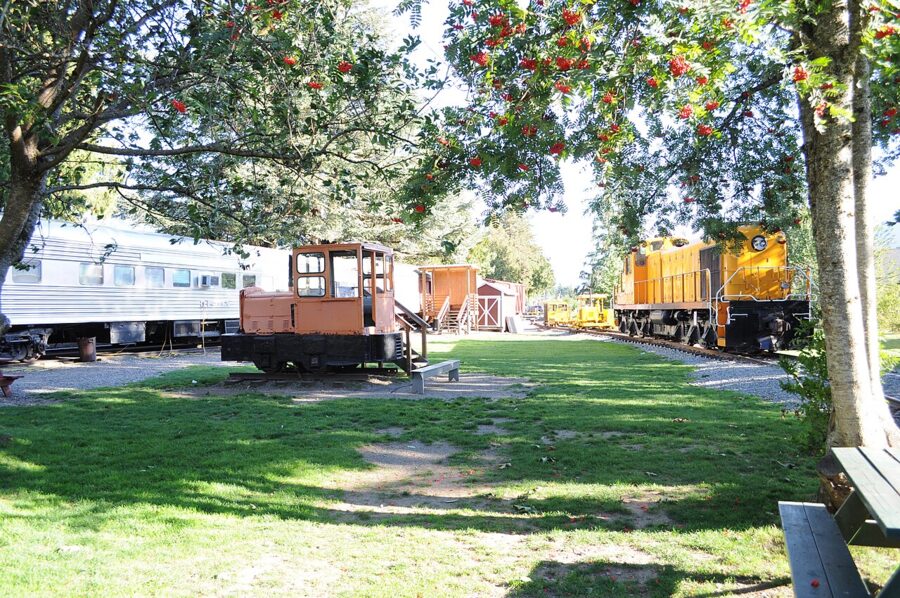

North Bend, five minutes further on, sits under Mount Si and is the trailhead town for the I-90 corridor. Rattlesnake Ledge, about 4 miles round trip, gives the view over Rattlesnake Lake that you have probably already seen on someone’s phone; go early or on a weekday.
When to go. Spring snowmelt and the days after a big rain give the biggest flow; summer gives the thinnest, and the biggest crowds.
4. Leavenworth
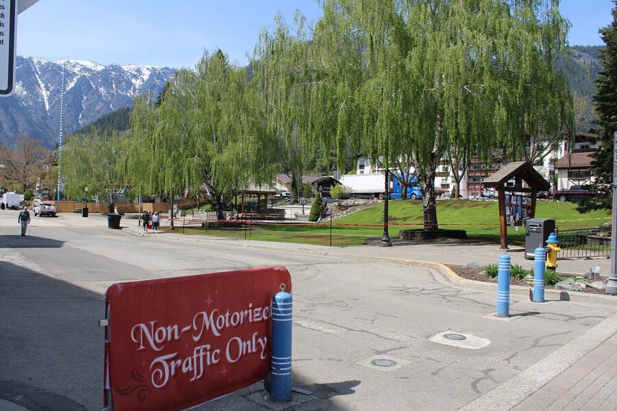

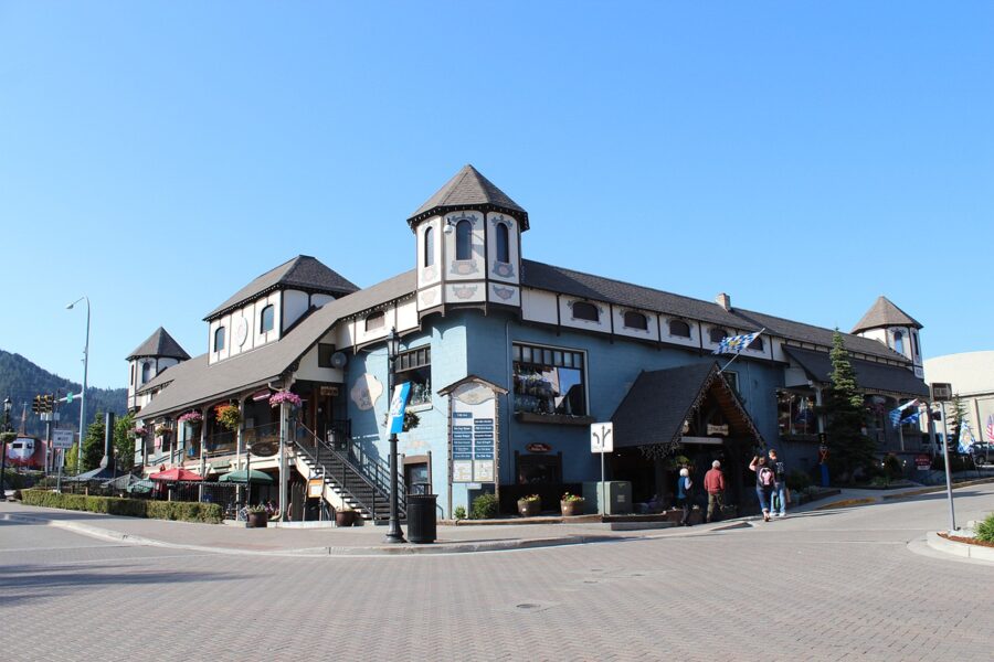
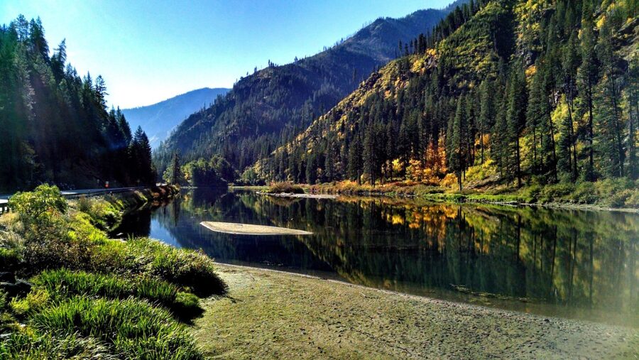
Leavenworth is a timber and railroad town that lost both and, in the 1960s, rebuilt itself with a Bavarian look. It is about 120 miles from Seattle over US 2 and Stevens Pass, about two and a half hours each way, so this is a long day. The drive itself, through Skykomish and down the Tumwater Canyon, is half the point.
What to do. Walk Front Street, eat a sausage, then get out of the shops and down to Waterfront Park on the Wenatchee River. Icicle Creek, a few minutes from town, has easy riverside trails.
Christmas. The 2026 Christmastown season runs November 27 to December 24, and the lights are on from 6am to 11pm daily from Thanksgiving through February, free to see. Weekends in December are packed; a weekday evening is a different, calmer town.
Parking and roads. City parking is paid by the hour on a busy-day calendar, about $4.50 an hour on the busiest days under the 2026 rates, and Link Transit’s Route 32 shuttle in town is free. In winter Stevens Pass can require traction tires or chains, so check the WSDOT pass report before leaving.
Where to stay and when to go. Lodges fill months ahead for December weekends and for Oktoberfest in October. September gives the best mix of weather and room to move.
5. Port Townsend
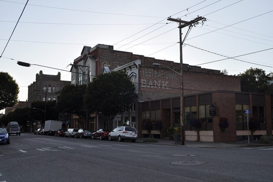

Port Townsend is Puget Sound’s best-known Victorian seaport, and getting there is part of the day. The usual route is the Edmonds to Kingston ferry, about 30 minutes, then the Hood Canal Bridge; allow about two hours each way. On weekends and holiday weeks, drivers leaving Kingston need a boarding pass from 8am to 8pm to hold their place in line.
What to do. Walk Water Street and the bluff-top uptown with its painted houses. Then go to Fort Worden Historical State Park, a former Army post with gun batteries, beaches and the Point Wilson Lighthouse. A Discover Pass is required to park ($10 a day, $45 a year, as of November 2026), and winter hours are 8am to dusk.
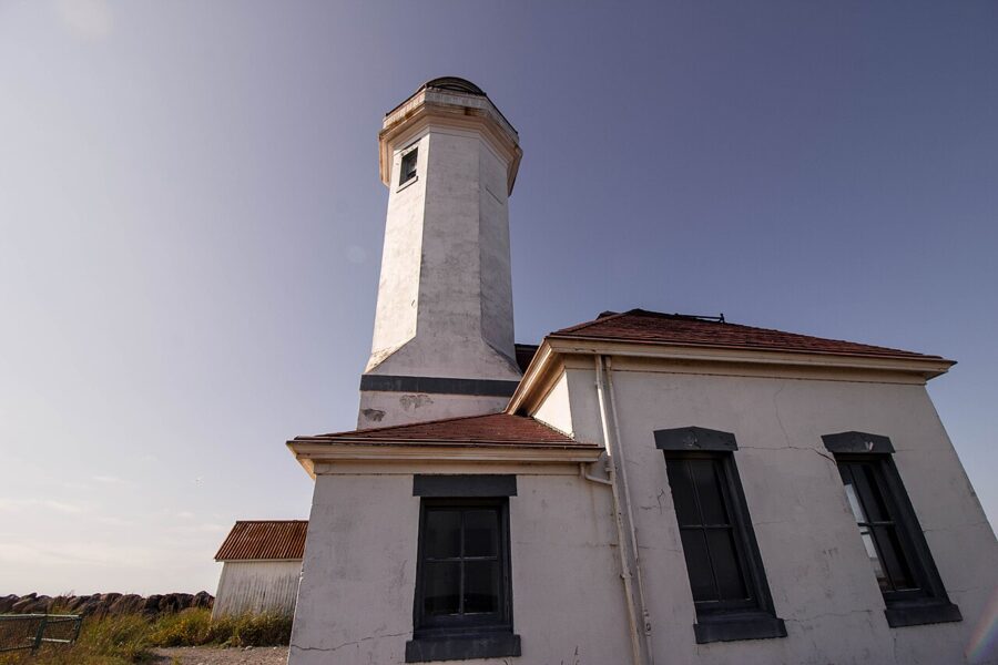

Make it a loop. Come home on the Port Townsend to Coupeville ferry across to Whidbey Island and down to the Clinton to Mukilteo boat. Vehicle reservations are recommended on the Coupeville route, and very low tides can cancel sailings, so book and check before you commit.
Where to stay and when to go. Several downtown hotels occupy restored Victorian buildings. Summer has the best weather, and the Wooden Boat Festival fills the town each September.
6. Whidbey Island: Langley, Coupeville and Deception Pass
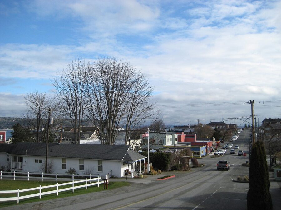

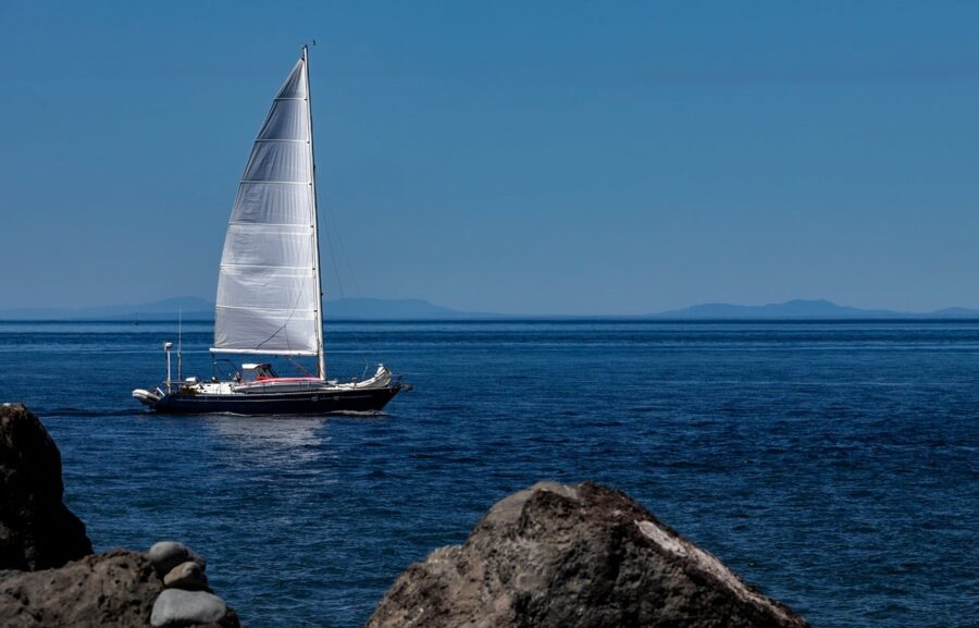
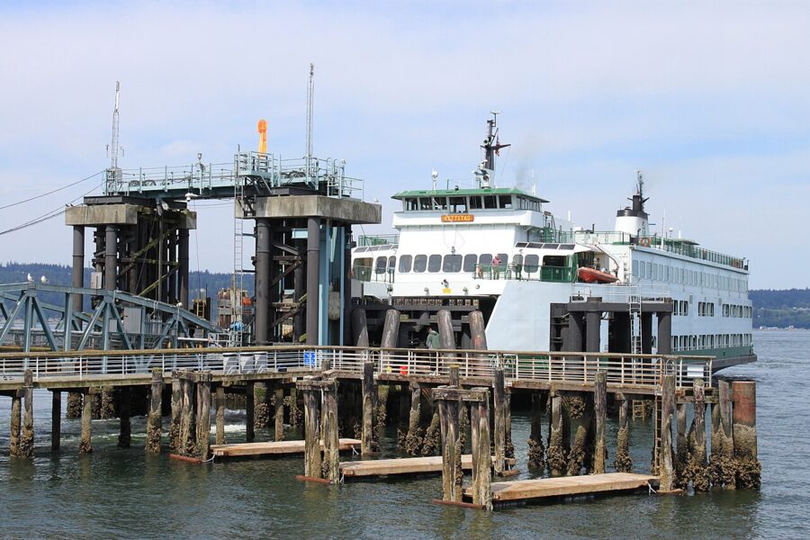
Whidbey works as a loop: drive 30 to 40 minutes north to Mukilteo, take the 20-minute ferry to Clinton (boats leave about every half hour), work north up the island, and come home over Deception Pass and I-5 without another ferry. Walk-on fares are low, but you need a car on the island.

Langley. Fifteen minutes from the Clinton dock. In spring, roughly March to May, gray whales feed in the shallows off Langley and can be seen from the waterfront.
Coupeville. About 45 minutes further north on Penn Cove, with a wooden wharf and a row of old storefronts. It sits inside Ebey’s Landing National Historical Reserve, and the bluff trail at Ebey’s Landing, with farmland on one side and the Strait on the other, is one of the best coastal walks near Seattle.
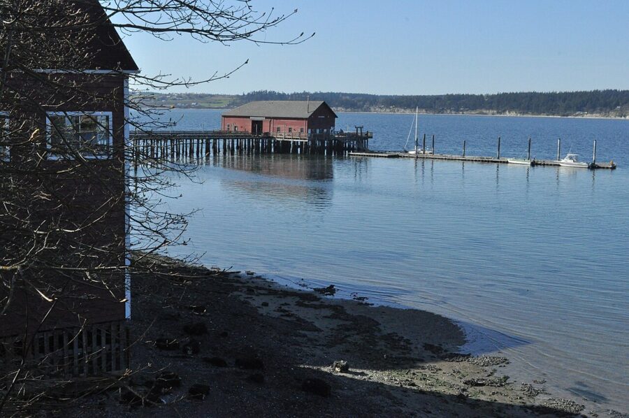

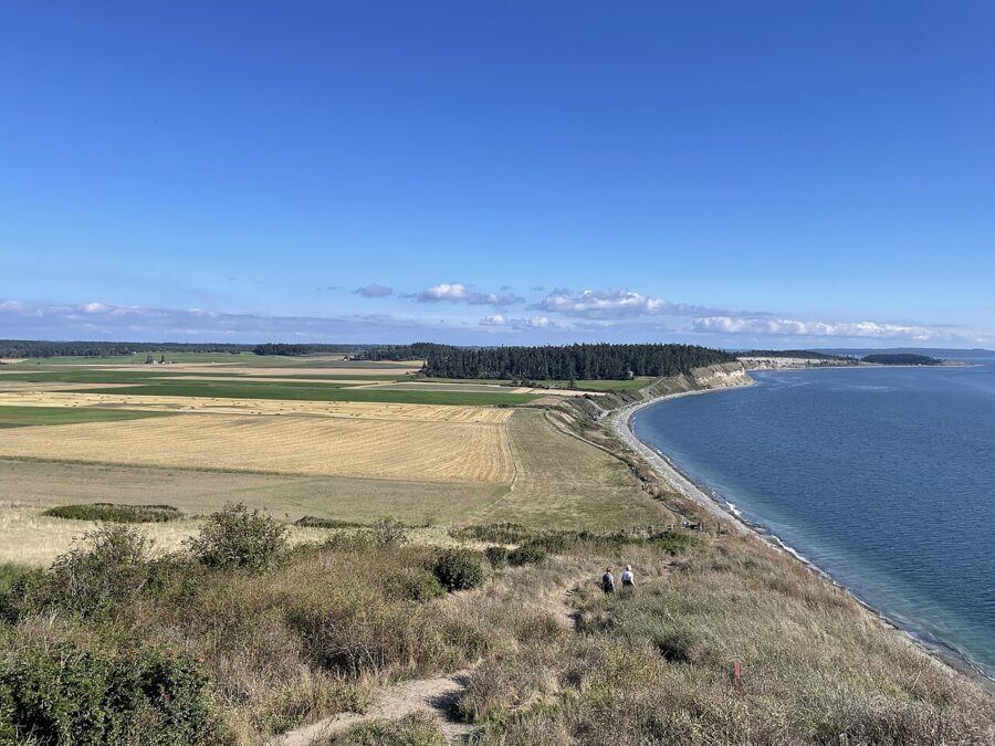
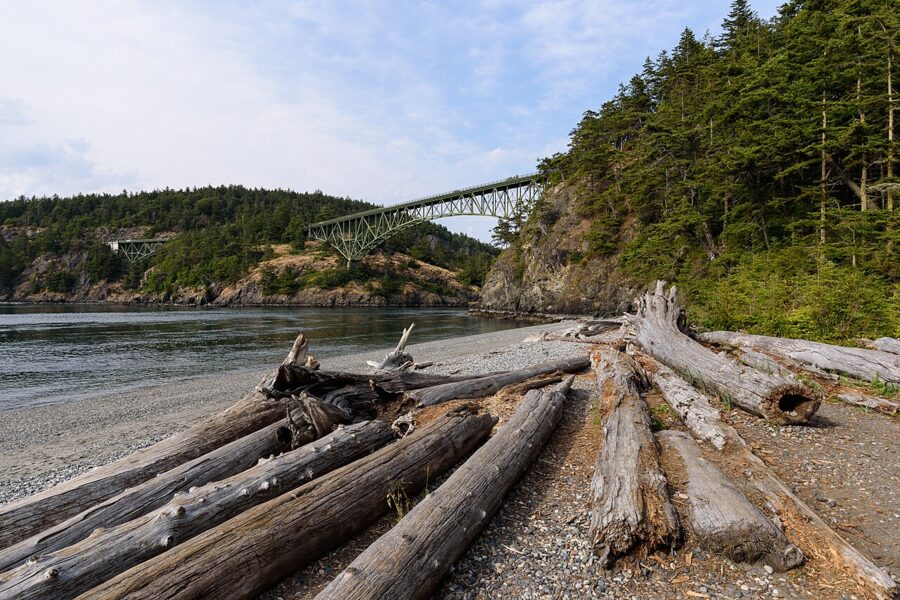

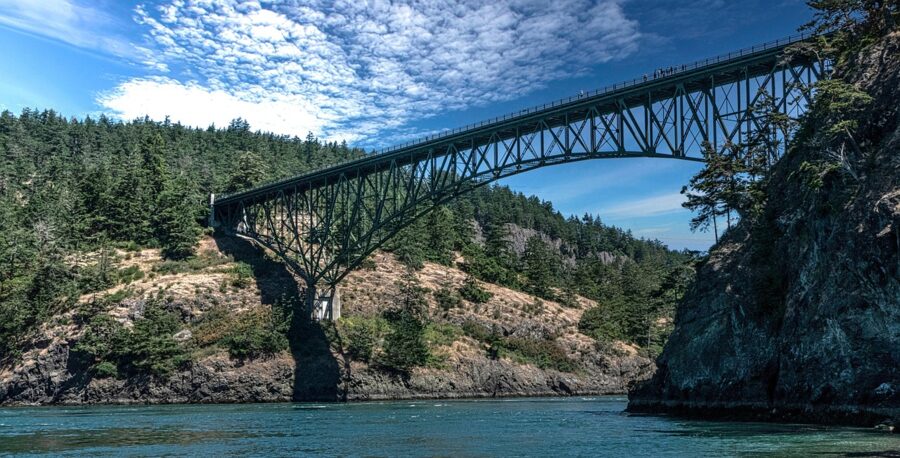
Deception Pass State Park. At the island’s north tip, the 1935 bridge crosses a narrow channel where the tide runs hard, with beaches, old forest and short trails below. A Discover Pass is required, and winter hours are 8am to dusk. Storms in the winter of 2025-26 damaged part of the West Beach trail and the path between Lottie Point and Lighthouse Point at Bowman Bay, so check the park’s alerts first.
When to go. Spring for whales; summer for beaches.
7. Tacoma
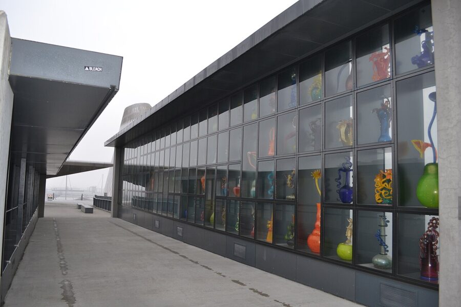

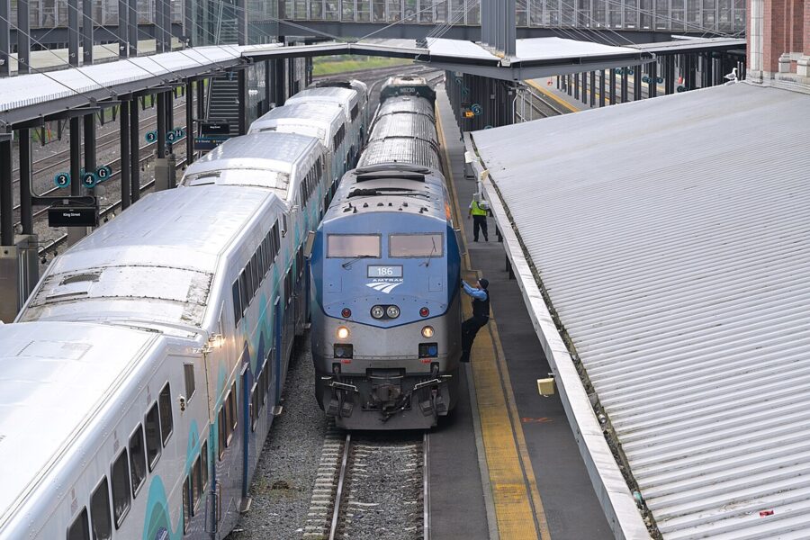
Tacoma is the rainy-day pick and the easiest train trip. Amtrak Cascades trains leave Seattle’s King Street Station at 7:10am, 8:55am and 12:10pm, among others, and reach Tacoma in about 50 minutes; evening trains back leave Tacoma at 4:50pm, 6:43pm and 8:31pm on the schedule effective November 1, 2026. On weekdays the Sounder commuter train runs too, Seattle 7:55am to Tacoma Dome 8:50am, with return trains from 4:06pm, for $5.25 each way.
What to do. The Museum of Glass (Wednesday to Sunday, 10am to 5pm, $18 for adults) runs a live glassblowing Hot Shop; its galleries are closed for renovation and due to reopen December 12, 2026. The Tacoma Art Museum across the bridge opens Thursday to Sunday, $18 for adults and free on Thursday evenings from 5pm. Union Station, now a federal courthouse, has Chihuly glass hanging in its rotunda and is open to the public on weekdays.
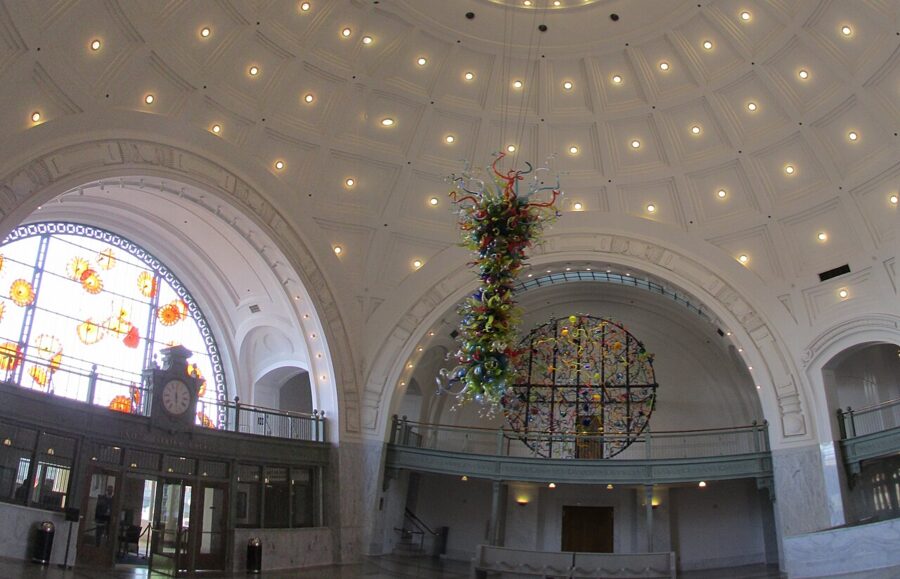

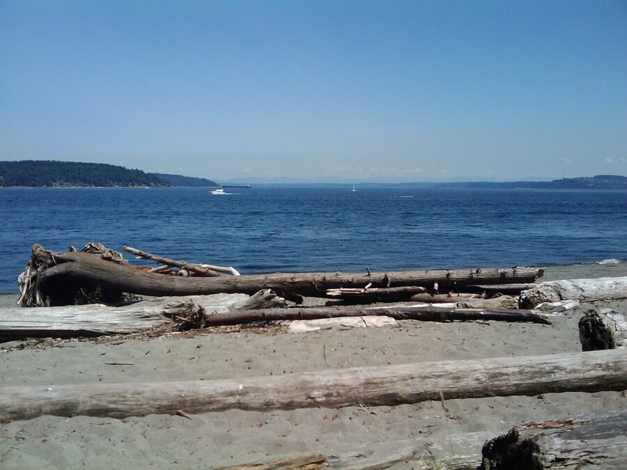

Point Defiance Park. Seven hundred acres at the end of the peninsula, with Owen Beach, gardens, forest trails and the Point Defiance Zoo & Aquarium, which as of November 2026 is closed on Tuesdays and Wednesdays. You need a car or a bus for this part.
When to go. Any time. I-5 traffic is the worst part of the trip, which is the best argument for the train.
8. Bellingham and Chuckanut Drive
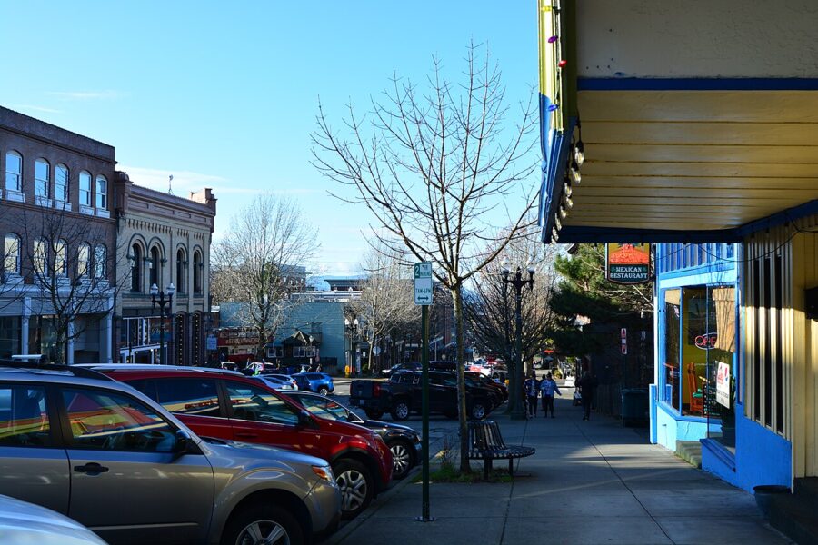

Bellingham is about 90 miles north, 1.5 hours by car, and it is the best train day trip on this list. The 8:30am Amtrak Cascades from Seattle reaches Bellingham at 10:37am, and the evening train leaves Bellingham at 6:44pm for Seattle at 9:10pm, as of November 2026. That gives you eight hours in town.

What to do. Fairhaven’s 1890s brick district has bookshops, cafes and a waterfront. Whatcom Falls Park in town has a stone bridge over a series of falls. The Whatcom Museum and the breweries cover a wet afternoon.
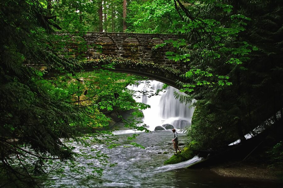

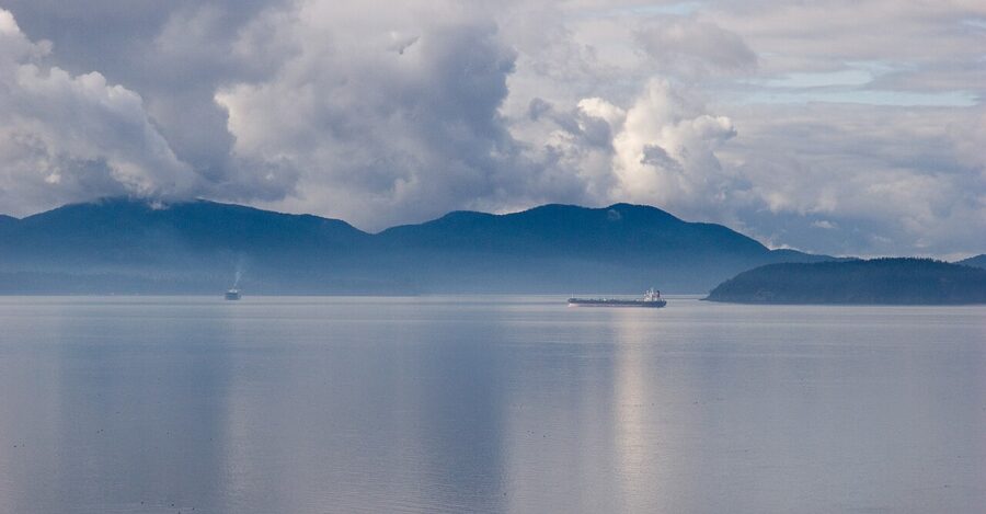

The drive. If you come by car, leave I-5 near Burlington for Chuckanut Drive (State Route 11), which runs north across flat farmland then along the cliffs above the bay into Fairhaven. Larrabee State Park on the way, Washington’s first state park, has a short trail down to rocky coves; a Discover Pass is required.
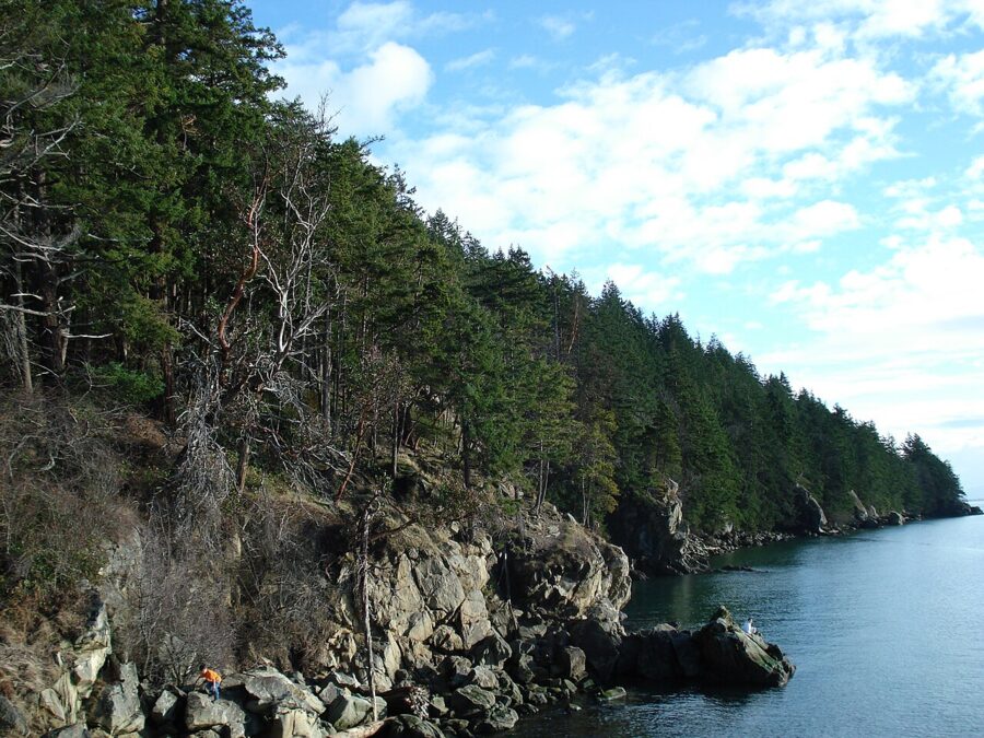

When to go. Any season. Chuckanut is at its best at sunset, which in winter is before 4:30pm.
9. La Conner and the Skagit Valley
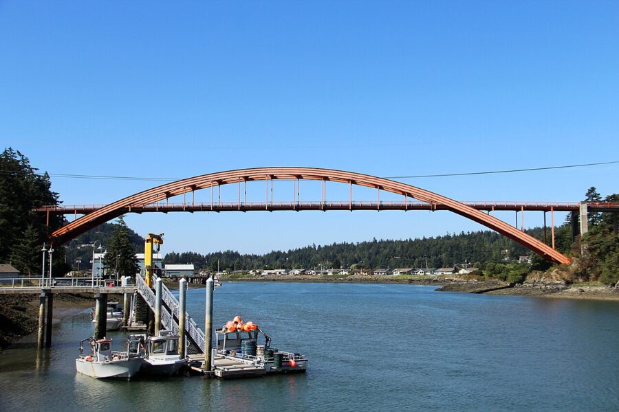

La Conner is a small waterfront town on the Swinomish Channel, about 65 miles north and 1.25 hours from Seattle. The town itself is a few streets of shops and galleries and the Museum of Northwest Art. What changes the trip is the season in the valley around it.
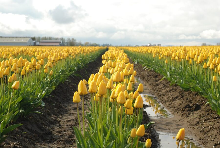
April: tulips. The Skagit Valley Tulip Festival runs through April in the fields around Mount Vernon. Bloom dates follow the weather, the fields rotate each year, and the display gardens charge admission. Go on a weekday morning; weekend traffic on the farm roads can stop dead.

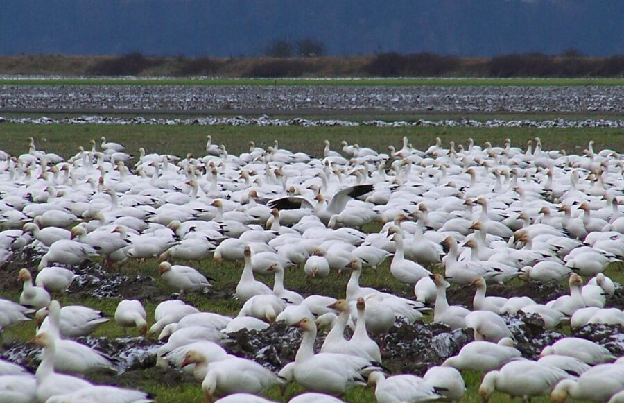
Winter: snow geese. From about November to March, flocks of snow geese and trumpeter swans feed in the farm fields of the Skagit flats, and a slow drive around Fir Island will usually find them. It is one of the few day trips that is better in the cold months.

10. Vashon Island

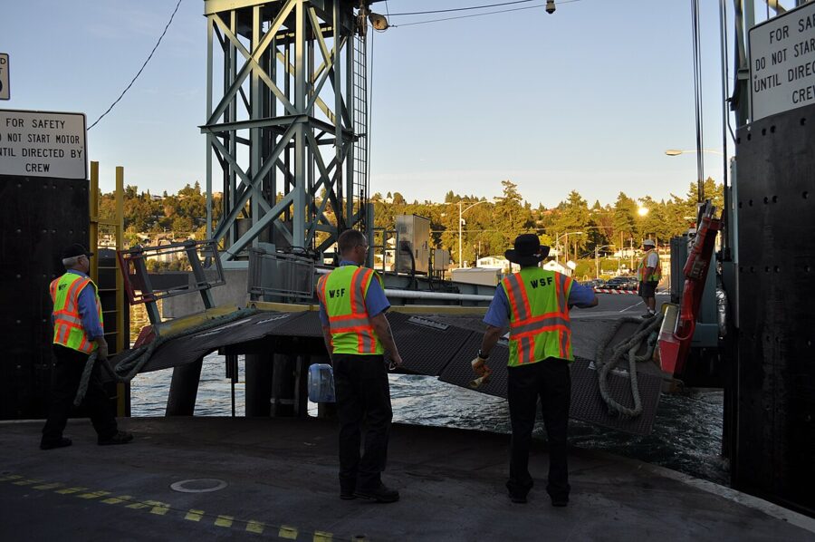
Vashon is the opposite of Bainbridge: rural, hilly, with no town at the ferry dock. The car ferry leaves Fauntleroy in West Seattle and takes about 20 minutes; the 2026 adult walk-on fare is $7.60 round trip. The King County Water Taxi from Pier 50 downtown takes about 22 minutes ($7 for adults, $6 with ORCA), but its sailings are built around weekday commuters, so check the schedule.

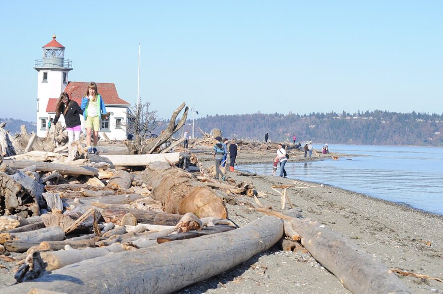
What to do. Drive or cycle (it’s hilly) to Vashon town in the island’s middle for coffee and the farm stands, then out to Point Robinson for the lighthouse and beach. The Vashon Center for the Arts runs exhibitions and concerts. In July the Strawberry Festival fills the island.
When to go. Summer, or winter if quiet is the point.
11. Diablo Lake and the North Cascades Highway
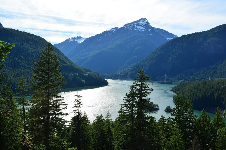

Diablo Lake is about 130 miles from Seattle, roughly two and a half hours via I-5 and State Route 20 east of Burlington. The lake is a reservoir behind one of Seattle City Light’s Skagit River dams, and its milky turquoise is the image most people know the North Cascades by. The Diablo Lake Overlook on SR 20 is the stop; Thunder Knob Trail from Colonial Creek Campground gives a closer view.
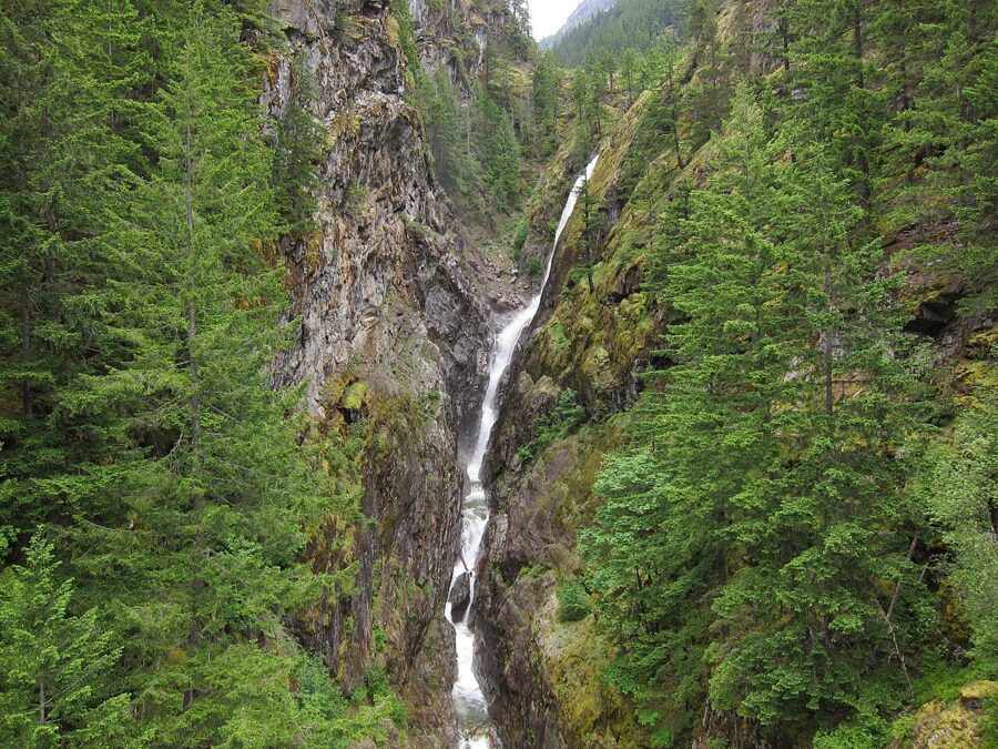

Seasons. WSDOT usually closes SR 20 for the winter in late November or early December between the Ross Dam trailhead and the Silver Star gate, and reopens it in spring. The overlook sits a little west of the usual gate, but storm damage can move the closure. The winter of 2025-26 brought storm damage and a rockslide near the lake, and the highway did not fully reopen until June 14, 2026, so check WSDOT before setting out in shoulder season.
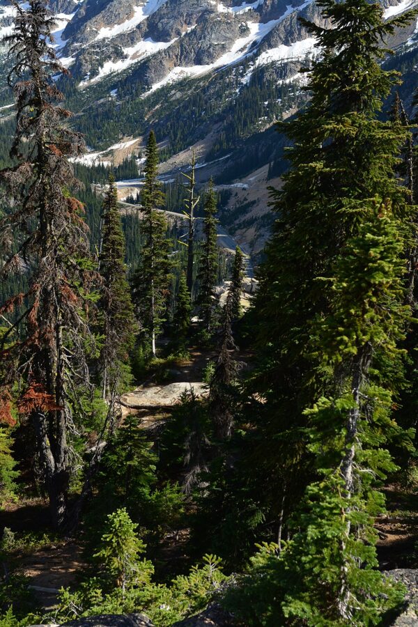
When to go. July to October. In late September and early October the larches at Washington Pass, another 40 minutes east, turn gold, which stretches the day but is worth it.

A two-day plan for Mount Rainier
Rainier is the one place on this list where a second day doubles what you see, because the park’s east side has a different mountain view and a different set of roads. This plan is for July to mid-September, when every road is open.
Day 1: Paradise. Leave Seattle by 7am, enter at Nisqually and stop at Longmire, Christine Falls and Narada Falls on the climb. Walk the Skyline Trail loop at Paradise, or just to Myrtle Falls for an easy afternoon. Sleep at Paradise Inn, the National Park Inn at Longmire, or in Ashford.
Day 2: Reflection Lakes to Sunrise. Be at Reflection Lakes early for a calm surface, then drive east on Stevens Canyon Road past Box Canyon and north over Cayuse Pass, with a short detour up to Tipsoo Lake. Finish at Sunrise, the highest point in the park you can drive to, and walk Sourdough Ridge. Drive home through Enumclaw, about two hours.
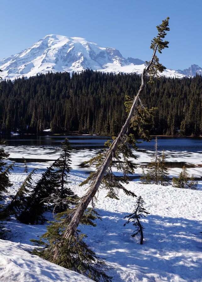

In winter the east side is closed: Sunrise, Chinook Pass, Cayuse Pass and Stevens Canyon Road all shut for the season. A winter two-day plan is Paradise on snowshoes on day one and the trails around Longmire on day two.
Traffic, tolls, parking and booking ahead
Traffic. I-5 through Seattle backs up every weekday morning and afternoon, so leave before 7am or after 9am. On summer Sundays the drive home on US 2 and I-90 is slow from early afternoon. If you are flying in, Seattle-Tacoma International Airport is south of downtown, closer to Rainier and Tacoma than to the northern trips.
Tolls. Tolling is electronic only: as of November 2026 the SR 520 bridge costs up to $4.90 at weekday peak with a Good To Go pass and $6.90 by mail. The SR 99 tunnel costs $1.25 to $2.80 with a pass, $2 more by mail. Rental companies usually bill tolls through their own programs, often with a fee, so ask at the counter.
Ferries. Seattle to Bainbridge, Edmonds to Kingston, Mukilteo to Clinton and Fauntleroy to Vashon take cars first come, first served, and summer weekend lines can run more than an hour. Vehicle reservations exist only on the Port Townsend to Coupeville and Anacortes to San Juan Islands routes. Walk-on passengers never need to book.

Parking passes. Washington state parks (Deception Pass, Fort Worden, Larrabee) need a Discover Pass: $10 a day or $45 a year (the annual price rose on October 1, 2025). Mount Rainier charges its own entrance fee, and some national forest trailheads need a Northwest Forest Pass; the $80 America the Beautiful annual pass covers both.
Book ahead for Leavenworth lodging in December, the Port Townsend to Coupeville ferry with a car, the Bloedel Reserve’s timed tickets and any summer night inside Mount Rainier.
Trips that need more than a day
Some favorite getaways don’t work as same-day round trips. Victoria, British Columbia: the Victoria Clipper from Pier 69 makes one round trip a day, and the operator says a day trip on the route isn’t possible with its current departures; you also need a passport, passport card or enhanced driver’s license. The San Juan Islands mean 1.5 hours to Anacortes plus a ferry of an hour or more, and a day trip spends most of its time in line.
The Olympic Peninsula needs at least a night. Use Port Angeles as the base for Hurricane Ridge, and Forks for the Hoh Rain Forest and the coast beaches. Mount St. Helens is a long drive south, and Johnston Ridge Observatory remains closed after the 2023 landslide on State Route 504; the Forest Service’s own estimate is that it may reopen in 2027.
Whatever you pick, look at the WSDOT pass report and the ferry schedule the night before, and put chains in the trunk if Rainier is the plan between November and May. The mountain is still there at 3pm; the gate isn’t.