Forks is worth a stop of at least one full day, and two is better: it is the largest town on the west side of the Olympic Peninsula, and within an hour of it you reach the Hoh Rain Forest, Rialto Beach, the three beaches at La Push and the sea stacks at Ruby Beach. In town there is a timber museum, a free collection of Twilight film costumes, a working logging tour in summer and the visitor center that hands out the Twilight map. Treat Forks as a base rather than a destination in itself, and plan your days around the tides and the Hoh’s entrance line.



On this page
- Forks in brief: where it is and how to get there
- The Hoh Rain Forest
- Rialto Beach and Hole-in-the-Wall
- La Push: First, Second and Third Beach
- The Twilight trail in town
- Museums and smaller sights in town
- Day trips: Lake Crescent, Sol Duc, Ruby Beach and Kalaloch
- Festivals and events by month
- Where to eat and drink
- When to go, and how many days
- A simple one- or two-day plan
- Getting around and practical notes
Forks in brief: where it is and how to get there
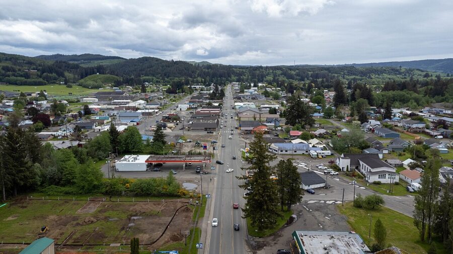
Forks sits on US 101 in the northwest corner of Washington, in the strip of logging country between the Olympic Mountains and the Pacific. The town grew up on timber, and the local museum traces its history back to the 1870s. Since Stephenie Meyer set her 2005 novel Twilight here, it has also been a pilgrimage for fans of the books and films.
Port Angeles is 56 miles east on US 101, past Lake Crescent. Seattle is 132 miles by way of a ferry, and Seattle-Tacoma International Airport is about 144 miles, roughly three and a half hours on a good day by the northern route over the Hood Canal Bridge.
The southern route from Sea-Tac loops through Olympia and Aberdeen and up the coast past Kalaloch and Ruby Beach, which works well as the other half of a round trip. From Portland, Oregon, it is 251 miles by I-5, US 12 and US 101.
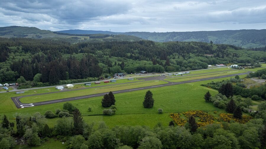
- Closest airport with airline service: Sea-Tac. Forks Municipal Airport takes private flights only.
- From Seattle without driving the whole way: the Bainbridge Island ferry from downtown Seattle, then Clallam Transit’s Strait Shot (Route 123) to Port Angeles, which, unlike the local routes, charges a fare.
- From Victoria, British Columbia: the Coho car ferry crosses to Port Angeles in about 90 minutes; Forks is a little over an hour beyond that.
- Rental cars: Port Angeles has a rental desk at William R. Fairchild International Airport, the last place to pick up a car before Forks.

A car is close to essential. Clallam Transit’s Route 14 does run between Port Angeles and the Forks Transit Center, eight times each way on weekdays and four on Saturdays in the current timetable, taking about an hour and 17 minutes, and it is zero-fare. There is no Sunday service, and none of the beaches or the Hoh is on a regular bus line.
The Hoh Rain Forest
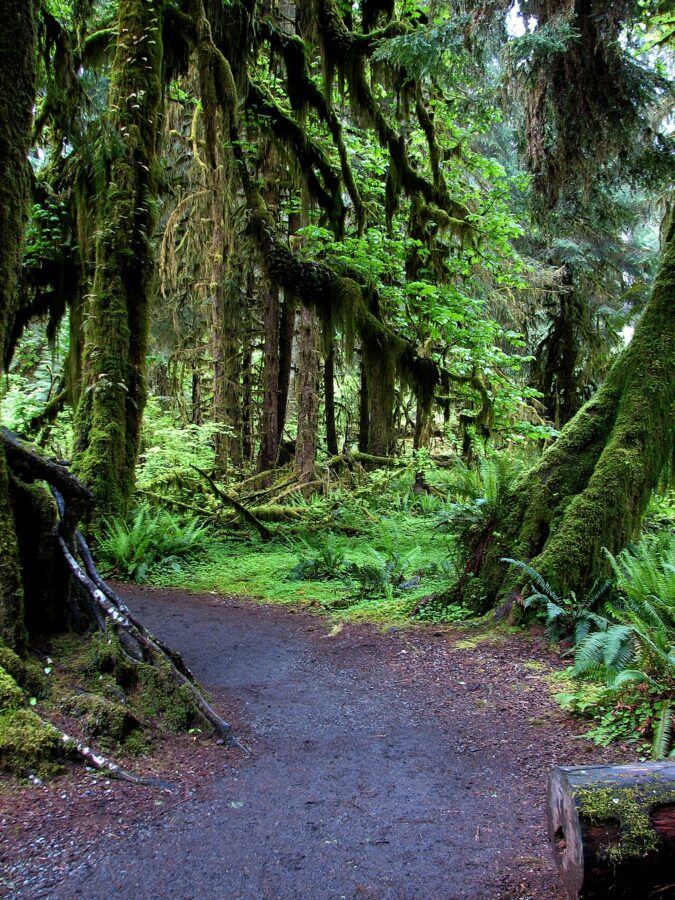
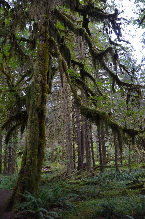
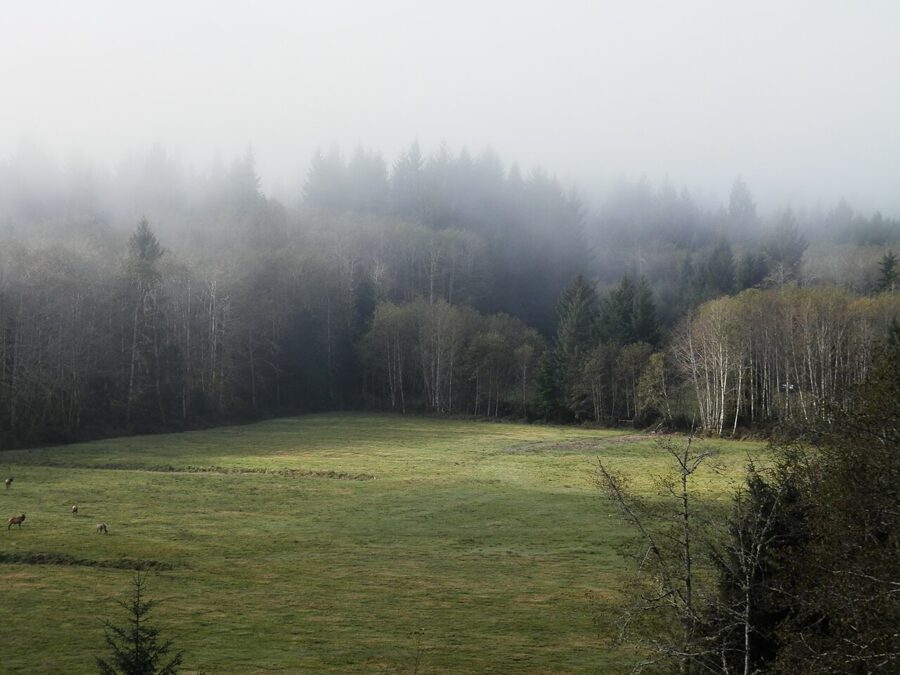
The Hoh is the reason most people drive to Forks, and it deserves an unhurried half day. It is one of the temperate rain forests on the west side of Olympic National Park, where the National Park Service measures an average of 140 inches of precipitation a year. Bigleaf maples carry thick coats of club moss, and the light is green even at noon.
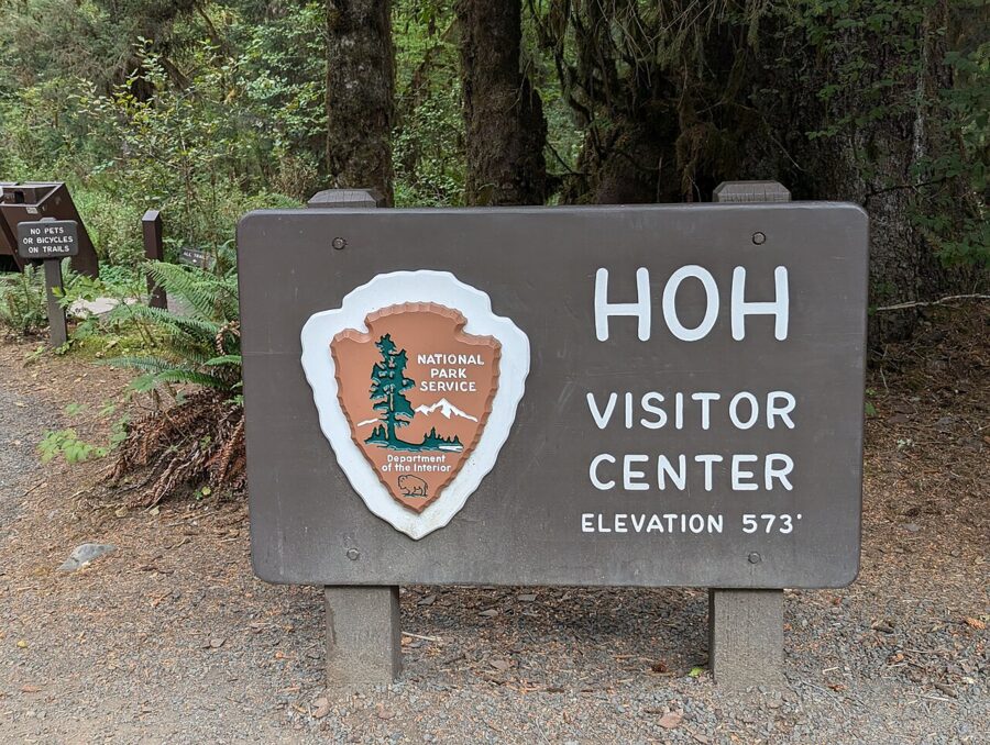

From Forks, drive south on US 101 and turn east onto the Upper Hoh Road, which follows the river to the visitor center; allow under an hour.
The trails
- Hall of Mosses: a 0.8-mile loop through old-growth forest and the maple groves the Hoh is known for. Allow 45 minutes, longer if you stop for photographs.
- Spruce Nature Trail: a 1.2-mile loop through old and new growth beside Taft Creek and the Hoh River. Allow about an hour.
- Hoh River Trail: an out-and-back that runs 18.5 miles to the moraine of the Blue Glacier on Mount Olympus. Day hikers turn around at Mineral Creek Falls (2.7 miles one way), Cedar Grove (4.0 miles) or 5 Mile Island (5.0 miles).
Pets are not allowed on any Hoh trail, including the short loops. The Hoh Campground has 72 sites in old-growth forest along the river and stays open year-round; reservations are required in peak season, which in 2026 ran from June 12 to September 6, and they open six months ahead on Recreation.gov.

The entrance line, and how to avoid it
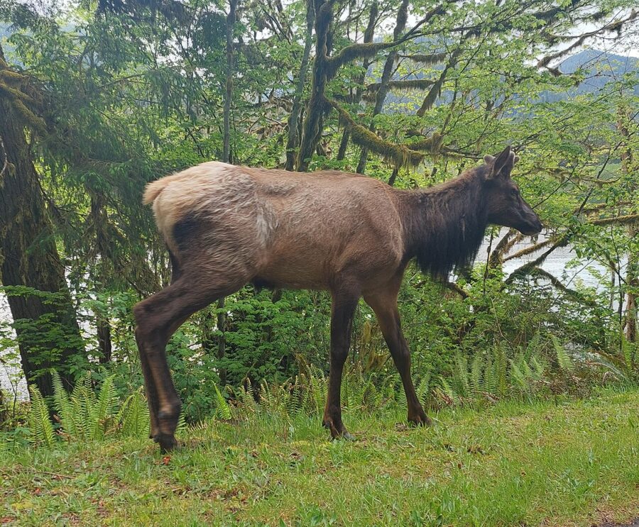
In summer, parking at the Hoh is limited and the park warns of waits of up to two hours at the entrance station. Its advice is to arrive before 8am or after 5pm, which also gives you the best light in the forest.
As of November 2026, Olympic National Park’s entrance fee is $30 per private vehicle, valid for seven days. A person on foot or bicycle pays $15. The Olympic annual pass costs $55, and the America the Beautiful pass covering every federal site is $80 for US residents and $250 for non-residents. The park accepts no cash; buying online through Recreation.gov also shortens your time at the booth.

Rialto Beach and Hole-in-the-Wall
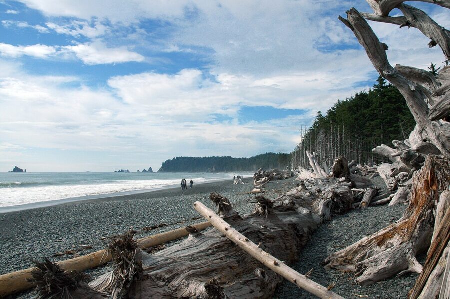
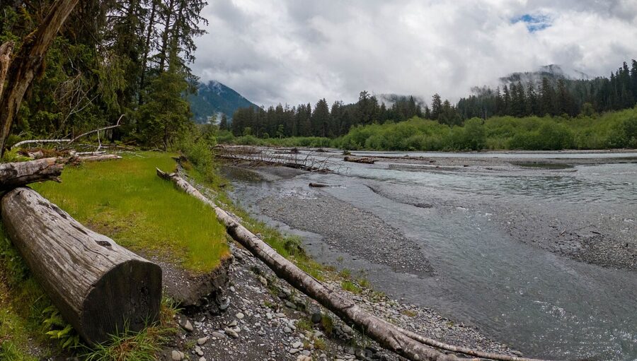
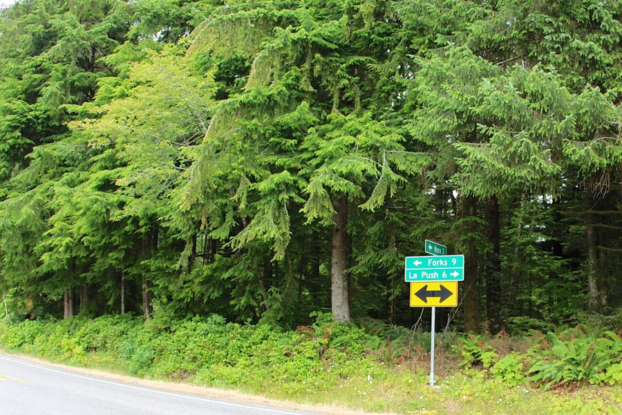
Rialto Beach is the quickest wild beach from town, less than 30 minutes by car. Take La Push Road (SR 110) west from US 101 just north of Forks, then fork right onto Mora Road, which ends at a parking lot behind the driftwood. Rialto is in Olympic National Park, so your park pass applies.
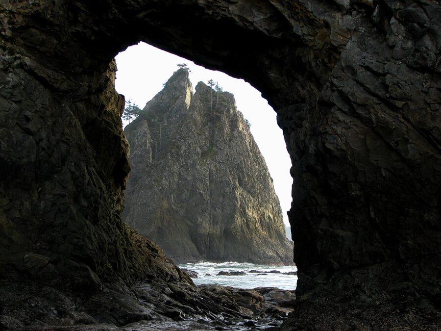
The walk to Hole-in-the-Wall is about 1.5 miles each way along the sand and stones, so allow two to three hours for the round trip with time in the tide pools. The National Park Service advises arriving at the arch at least 30 minutes before the lowest tide and not passing through it once water starts to cover its floor. Some stretches of this coast become impassable at high tide, and people do get cut off, so carry a tide table and check it before you set out.
Mora Campground, about three miles back from the beach, has 94 sites, reservable in summer. Stay off the drift logs when waves reach them; they can roll without warning.

La Push: First, Second and Third Beach
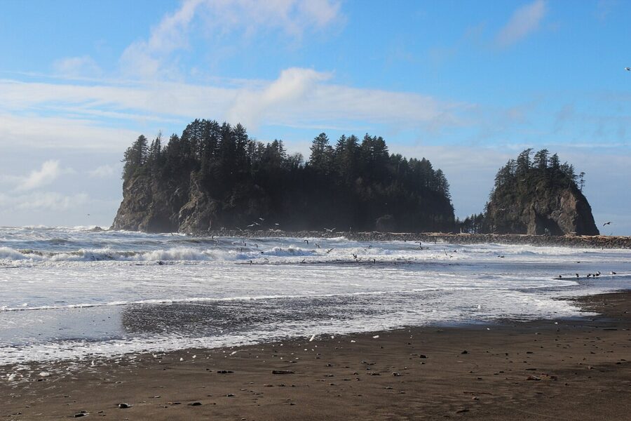
La Push is the village of the Quileute Tribe at the mouth of the Quillayute River, about 15 miles west of Forks at the end of La Push Road. You can see Rialto across the river mouth, but you cannot walk between them: the river blocks the way, so each side is its own drive. The three beaches here are numbered from the village south.
Parking and visitor rules on Quileute land
The Quileute Tribe began a visitor parking program on May 1, 2026, under the tribe’s parking ordinance. As of fall 2026 the charge is $10 to park on tribal land, which covers First Beach and the Second Beach trailhead; pay through the ParkMobile app or at the Lonesome Creek Store in La Push, which also sells multi-day passes for backpackers. Mobile signal is unreliable on this coast, so the store is the safer bet.
La Push is a community, not a park. The tribe asks visitors to ask before photographing or recording people, events or ceremonies, to keep out of burial grounds and to respect residents’ privacy. Taking sand, rocks, shells or driftwood from tribal beaches is against tribal law, and the tribe publishes its own photography and video policy for visitors.
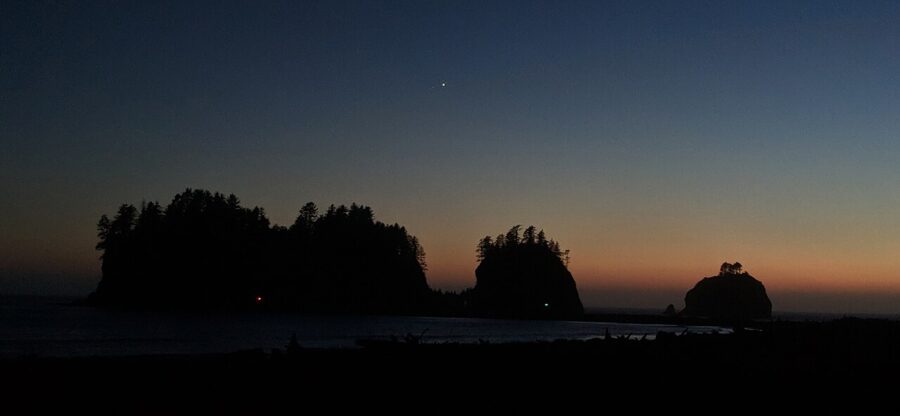

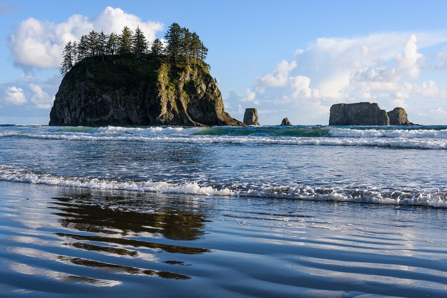
Second Beach
Second Beach is the favorite of many who know this coast, and the walk in is short: 0.7 mile through forest from the trailhead on La Push Road, dropping about 200 feet to the sand at the end. The beach itself is part of Olympic National Park. Allow two hours with time on the sand.

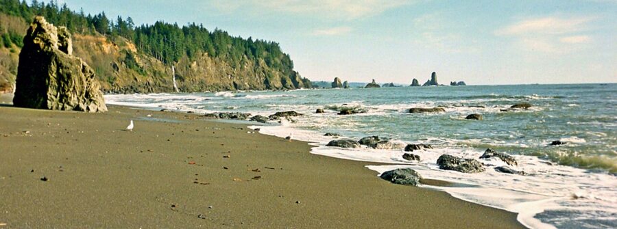
Third Beach
Third Beach is the quieter one, 1.4 miles each way from a trailhead on La Push Road a few miles before the village. The trail is easy until the last stretch, which drops steeply to a field of drift logs, and at the south end of the beach a waterfall runs off the cliff when the creeks are up. Camping on Second or Third Beach needs an Olympic wilderness permit, $8 per person per night plus $6 per permit, and food must go in a bear canister.

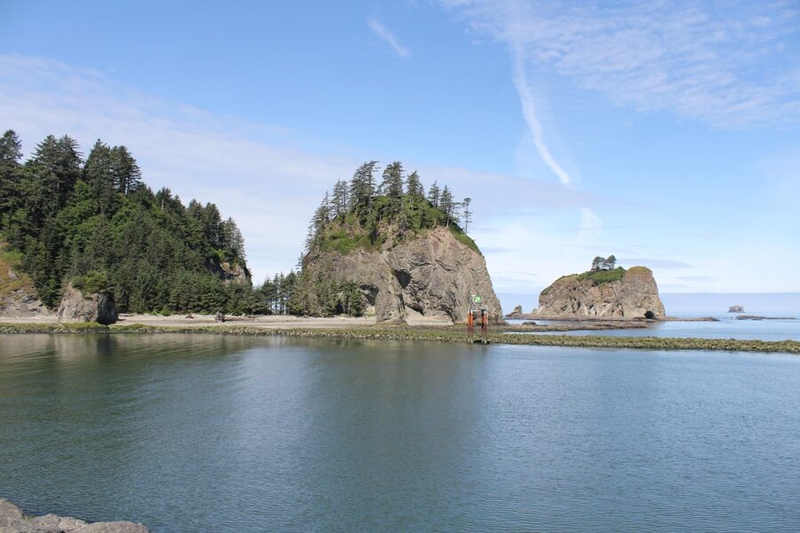
Quileute Days, the tribe’s summer celebration with a parade, canoe races and traditional food, is held in La Push in July. Dates change each year, so check the tribe’s events calendar before you plan around it.
The Twilight trail in town
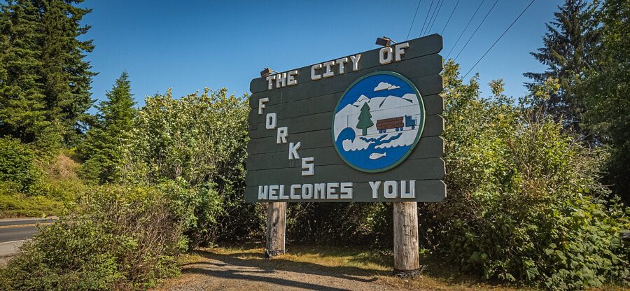
None of the five Twilight films was shot in Forks. The first was filmed mostly in Oregon and the later films mostly in British Columbia, so what you find here is the setting of the books plus the attractions the town has built since fans started arriving.

Start at the visitor center
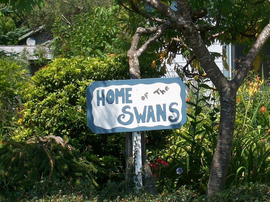
The Forks Visitor Center at 1411 South Forks Avenue is run by the chamber of commerce and opens at 10am. Pick up the free self-guided Twilight map there, which marks the town’s welcome signs, the houses that stand in for the Swan and Cullen homes, the high school and the treaty-line sign on La Push Road. The red pickup trucks parked outside are stand-ins for Bella’s and a standard photo stop.
Forever Twilight in Forks Collection
The chamber’s collection of screen-worn costumes and props from all five films is displayed in an alcove of the Rainforest Arts Center, 11 North Forks Avenue. It includes Bella, Edward and Jacob costumes, Bella’s graduation quilt and international editions of the books. Entry is free, and donations by cash, card or Venmo keep it running.
| Season | Days and hours |
|---|---|
| Winter (September 28, 2026 to May 26, 2027) | Friday 2pm to 4pm; Saturday noon to 4pm; no Sunday tours; closed Thanksgiving, Christmas Eve, Christmas Day and New Year’s Day |
| Summer (May 27 to September 6, 2027) | Daily, noon to 4pm; closed Independence Day |
| Festival week (September 8 to 12, 2027) | Daily, 10am to 4pm |
| September 13 to 30, 2027 | Friday to Sunday noon to 4pm; Monday to Thursday 2pm to 4pm |
Visits run on same-day time slots, assigned in person only, with no online or phone booking. Sign-ups open 30 minutes before opening and slots go quickly, so arrive then. Groups of up to 10 get up to 15 minutes inside; the last tour starts at 3:30pm. Strollers, pets, food and drinks stay outside.

The festival and the Cullen house
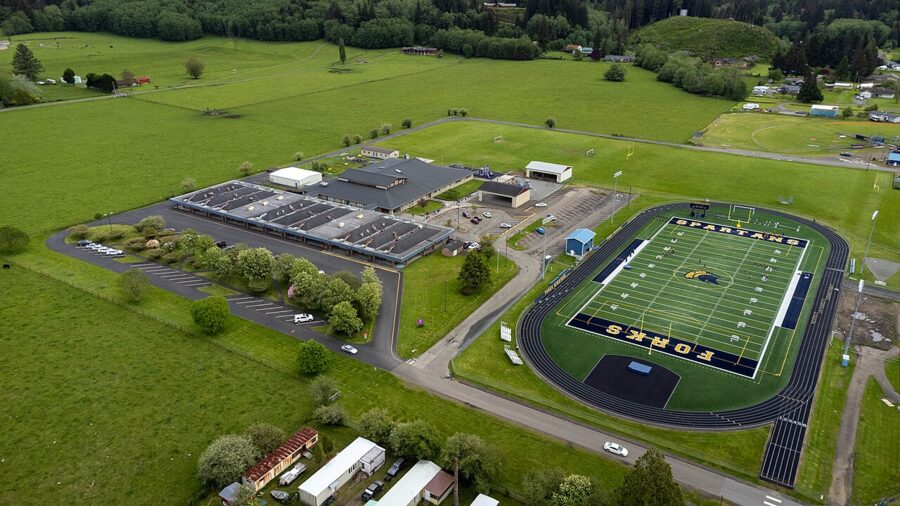
The Forever Twilight in Forks Festival runs over four days each September, close to Bella’s fictional birthday of September 13. The 2026 festival ran September 10 to 13; the 2027 festival is set for September 9 to 12 and marks the 15th anniversary of Breaking Dawn Part 2, with Billy Burke and Peter Facinelli among the announced guests. Most festival events are free and need no ticket; the paid events are marked on the schedule, and the limited VIT package costs $850.
The Miller Tree Inn at 654 East Division Street, the bed and breakfast fans know as the Cullen house, hosted a Sunday event at the 2026 festival. It is a working inn with a two-night minimum from about mid-May to mid-October, so book well ahead for festival weekend.
Museums and smaller sights in town
Forks Timber Museum
Next to the visitor center at 1421 South Forks Avenue, the Forks Timber Museum tells the story of the town that existed before Twilight: homesteaders, logging camps, mills and the tools that went with them. Exhibits include a fire lookout tower and a 9-foot cook stove from a logging camp, and outside stands the Forks Loggers Memorial, a 12-foot carved wooden logger. Behind it, a 15- to 20-minute loop gives a small taste of rain forest.
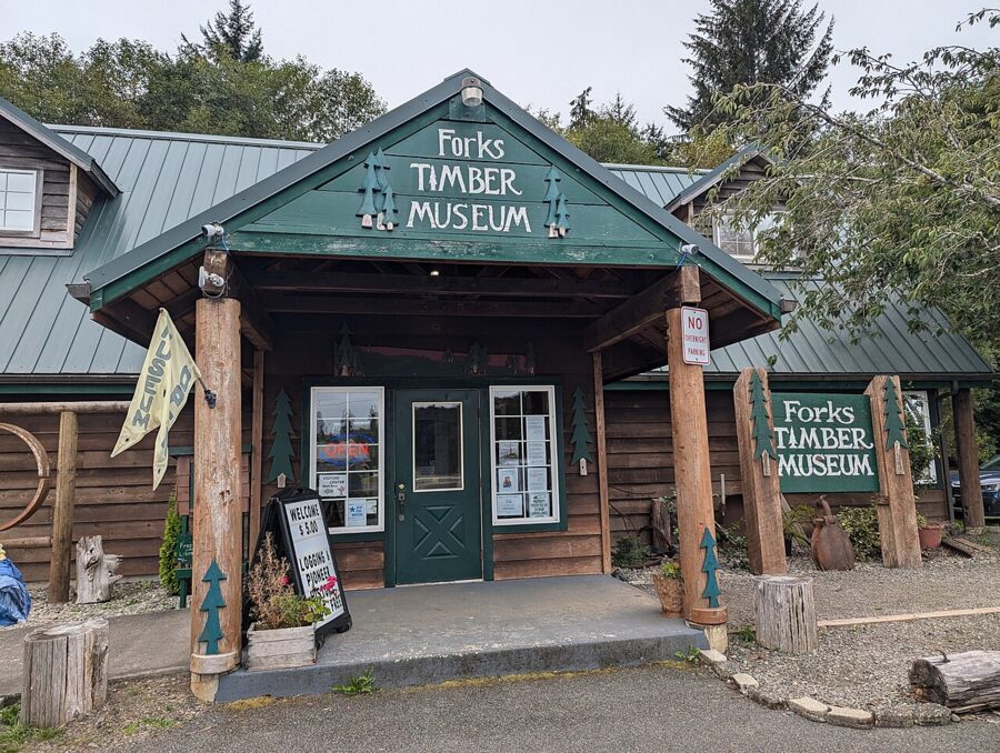

- Hours: Memorial Day to Labor Day, Monday to Saturday 10am to 5pm and Sunday 11am to 4pm; the rest of the year, Monday to Saturday 10am to 4pm and Sunday 11am to 4pm.
- Admission: $5; free for children 12 and under and for active military and veterans.
Logging and Mill Tour
For a look at timber as a working industry, the chamber runs a free guided tour by shuttle to active logging sites and a working mill. It leaves the visitor center at 9am on Wednesdays from May through August and lasts two and a half to three hours. Space is limited, so reserve by phone with the chamber, arrive 15 minutes early and wear a jacket and sneakers or boots; children under 8 cannot join, and flash photography is not allowed in the mills.
John’s Beachcombing Museum
At 143 Andersonville Avenue, John’s Beachcombing Museum displays what one local beachcomber has collected from the coast since the 1970s: Japanese glass fishing floats, messages in bottles and a great deal of ocean debris arranged with real care. It opens seasonally, and current hours could not be confirmed for 2026, so ask at the visitor center before you drive over.
Parks, rivers and the Shay locomotive
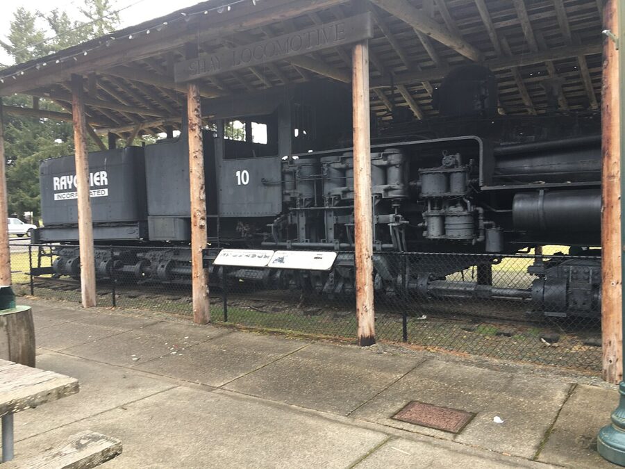
Tillicum Park, in town, has a playground, a covered picnic area, basketball and pickleball courts, and Rayonier No. 10, a Shay geared logging locomotive built by Lima in 1930 that is kept on display under a shelter. At the north end of Forks Avenue, Calawah River Park sits by the bridge with a fenced dog park, and the Gold Star Families Memorial Monument stands outside the Forks Transit Center at 551 South Forks Avenue.

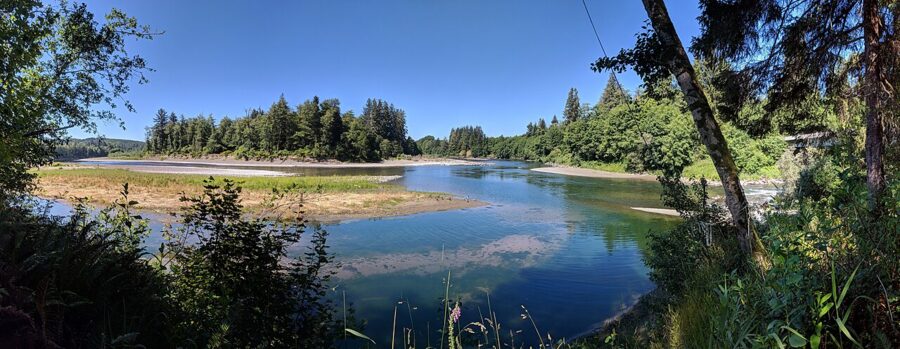

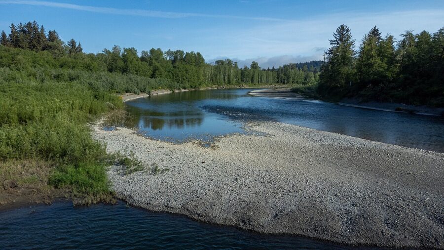
Bogachiel State Park, south of town on US 101 at 185983 Highway 101, has campsites, river swimming and a short section of the Pacific Northwest National Scenic Trail through rain forest. Day use is 8am to dusk year-round and needs a Discover Pass, $10 for a day or $45 for a year. Part of the park is closed from November 15, 2026, to June 1, 2027, with water shut off until the end of March.

Day trips: Lake Crescent, Sol Duc, Ruby Beach and Kalaloch
Lake Crescent and Marymere Falls
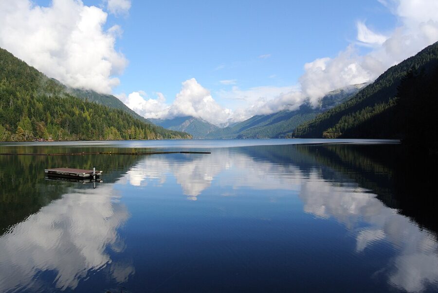
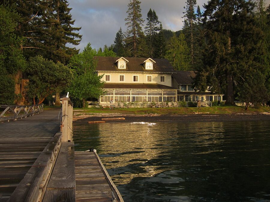
Lake Crescent lies along US 101 about 18 miles west of Port Angeles, so most people pass it on the way to Forks. The park describes it as deep and glacially carved, and the water is famously clear. From the Storm King area, the Barnes Creek trail leads to Marymere Falls through old forest, and the Spruce Railroad Trail follows the north shore on an old railroad grade, open from both trailheads as of November 2026.


Sol Duc Falls and Sol Duc Hot Springs
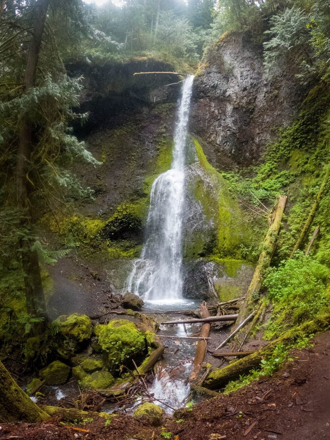
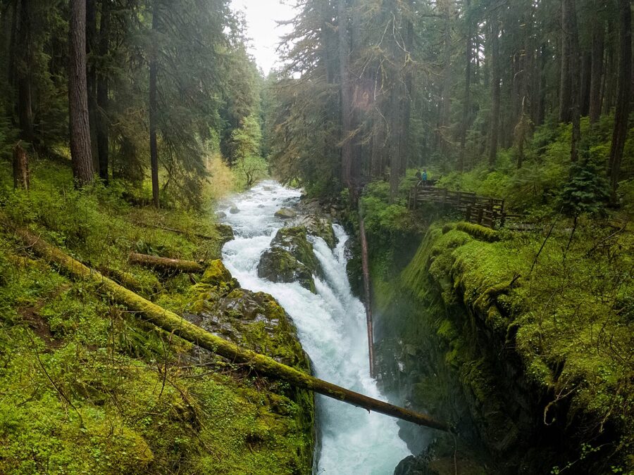
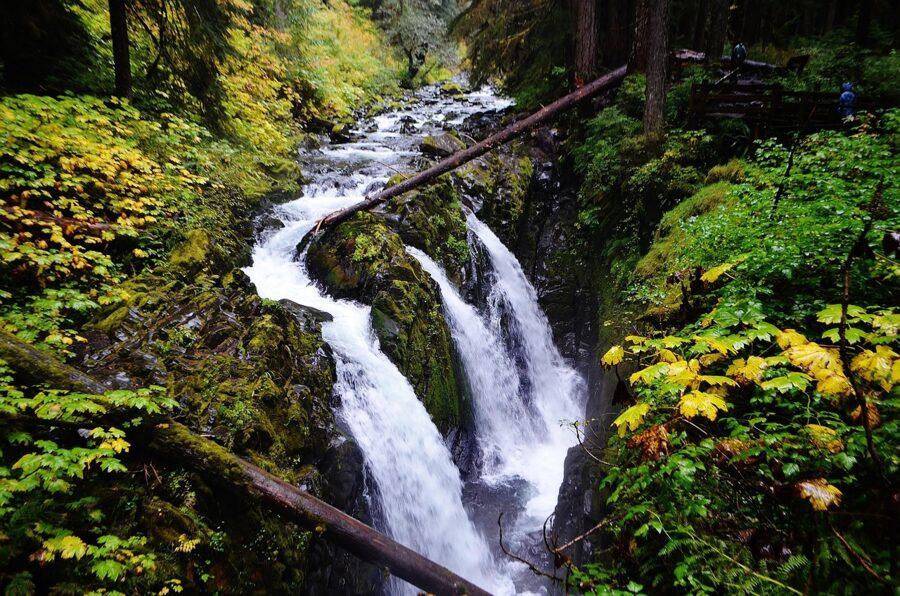
Sol Duc Road leaves US 101 between Lake Crescent and Forks and follows the Sol Duc River into the park. At its end, a trail of about a mile through old-growth forest leads to Sol Duc Falls, where the river splits into several channels and drops into a narrow canyon. Allow an hour and a half for the walk there and back.

Sol Duc Hot Springs Resort, run by the park’s concessioner, has mineral hot spring pools open to day visitors for $19 per adult per 90-minute session (2026 rate). The resort is generally open from late March through the last weekend of October. As of November 20, 2026, the resort, its campground and Sol Duc Hot Springs Road itself are closed for the season.
Ruby Beach and Kalaloch
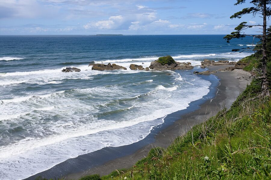
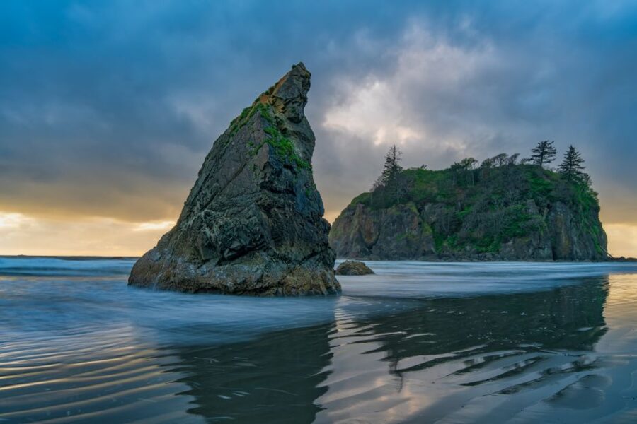
South of Forks, US 101 swings back to the ocean beyond the Hoh River. Ruby Beach, just off the highway, is the best-known beach on this stretch: a short path drops to sea stacks, drift logs and a creek mouth. It is under an hour from town and pairs well with the Hoh on the same day.
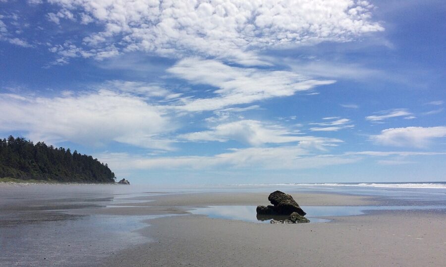

A little farther south, Kalaloch has a lodge, a year-round campground with 175 sites and a string of numbered beach access points along the highway. Beach 4 is the best for tide pools, with sea stars and anemones at low tide. Kalaloch Lodge and its store were open in November 2026.

Festivals and events by month
| When | Event | Notes |
|---|---|---|
| May to August | Logging and Mill Tour | Wednesdays at 9am from the visitor center; free; reservations needed |
| Early July | Forks Old Fashioned Fourth of July | Several days around July 4 (July 2 to 5 in 2026), centered on Tillicum Park: pageant, frog jump, parade, vendors and fireworks |
| July | Quileute Days, La Push | Parade, canoe races and traditional food; dates vary |
| Summer | West End Thunder drag races | Selected weekends at the Forks airport |
| September | Forever Twilight in Forks Festival | September 9 to 12, 2027; most events free |
| October | Fish and Brew | Local fall festival; check the chamber’s events page for the date |
| December | Twinkle Light Holiday Parade | Check the chamber’s events page for the date |
The national park also has fee-free days for US citizens and residents, which in 2026 included July 3 to 5 and Veterans Day.

Where to eat and drink
Forks feeds hungry hikers well, and almost everything is on Forks Avenue. These places were trading in fall 2026; hours shrink in winter, so check before you go.
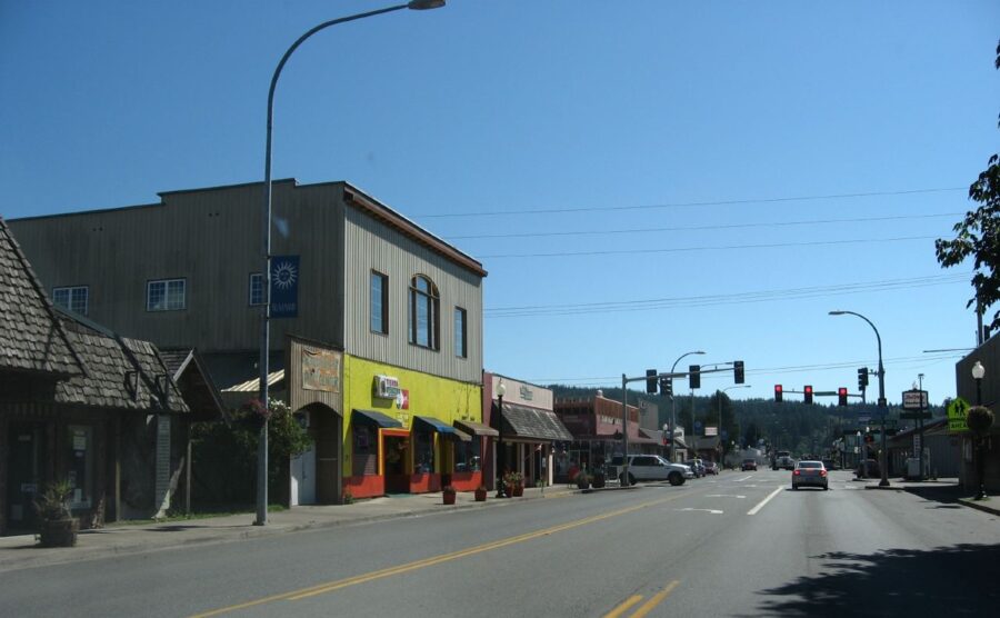

- Coffee and breakfast: A Shot in the Dark (131 North Forks Avenue) and Mocha Motion (260 South Forks Avenue) are espresso stands for an early start; Outfitters Grind is the coffee counter inside Forks Outfitters (950 South Forks Avenue).
- Quick lunch: Sully’s Drive-In (220 North Forks Avenue) for burgers, fries and shakes at the counter; Longhouse Cafe (81 North Forks Avenue) for fry-bread tacos; D&K BBQ (275 North Forks Avenue) for smoked meat.
- Dinner: The In Place (320 South Forks Avenue) for big plates of diner food after a day outside; Pacific Pizza (870 South Forks Avenue); Golden Gate (111 South Forks Avenue) for Chinese.
- A drink: Blakeslee’s Bar and Grill (1222 South Forks Avenue) is a local bar with a full menu, more bar than family restaurant; Westend Taproom (70 A Street Southwest) pours beer.
For days on the coast or in the Hoh, buy food before you leave town. Forks Outfitters is a grocery, outdoor-clothing and hardware store in one, and there is little or nothing to buy at the trailheads.
When to go, and how many days
The driest, warmest months are July and August, and September is close behind with fewer people once school starts. Forks is very wet the rest of the year: NOAA’s 1991 to 2020 normals for the Forks station average 119.94 inches of precipitation a year, with 19.1 inches in January alone. Snow is light, averaging under 8 inches a year.

| Month | Average high | Average low | Precipitation |
|---|---|---|---|
| January | 46.9°F | 34.6°F | 19.10 in |
| February | 49.9°F | 34.0°F | 11.69 in |
| March | 53.3°F | 35.6°F | 14.31 in |
| April | 58.7°F | 37.9°F | 9.43 in |
| May | 64.5°F | 42.7°F | 4.96 in |
| June | 68.0°F | 47.0°F | 3.69 in |
| July | 73.1°F | 50.2°F | 2.05 in |
| August | 74.0°F | 50.5°F | 2.77 in |
| September | 70.1°F | 47.4°F | 4.77 in |
| October | 60.0°F | 42.4°F | 11.71 in |
| November | 50.6°F | 37.5°F | 18.07 in |
| December | 45.6°F | 34.0°F | 17.39 in |
Is Forks the rainiest place in the United States? It is the wettest town in the contiguous states by most measures, and the Washington State Climate Office calls the West Olympic Coast the wettest climate division in the lower 48 by a comfortable margin. The Hoh valley, at about 140 inches, is wetter still. A few spots in Hawaii and southeast Alaska get more rain than either.
Summer brings the best weather and the longest lines at the Hoh. Mid-September is a good compromise, with quieter trails after the festival weekend. From October to May the rain forest is at its wettest, the season the chamber recommends for the full rain-forest experience; bring full rain gear and expect the Sol Duc and Hurricane Ridge roads to close.
How long does it take to explore Forks? The town itself takes half a day, and one full day adds Rialto Beach or La Push. Two days covers the Hoh, two or three beaches and the Twilight stops without rushing, and a third day lets you add Lake Crescent, Sol Duc (in season) or Ruby Beach and Kalaloch.
A simple one- or two-day plan
Day one: town and the La Push coast
- Morning: the visitor center at 10am for the Twilight map, then the Forks Timber Museum next door.
- Midday: sign up for a Twilight collection slot 30 minutes before opening, then lunch while you wait.
- Afternoon: drive to Rialto Beach and time the walk to Hole-in-the-Wall for the afternoon low tide, or walk the short trail to Second Beach.
- Evening: sunset at First Beach in La Push (pay the $10 tribal parking fee), then dinner back in town.
Day two: the Hoh and the south coast
- Early morning: leave Forks by 7am to reach the Hoh before 8am in summer. Walk the Hall of Mosses and the Spruce Nature Trail, or go a few miles up the Hoh River Trail.
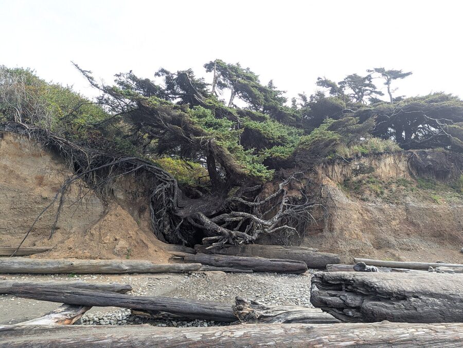
- Afternoon: back out to US 101 and south to Ruby Beach and the Tree of Life at Kalaloch, with a low tide if you can match it.
- Leaving: continue south via Aberdeen, or go back past Lake Crescent and stop at Marymere Falls.

Getting around and practical notes
- Driving: roads are two-lane and slow behind logging trucks, so do not plan to the minute.
- Parking: free in town; the Rainforest Arts Center has a free lot behind the building on Spartan Avenue. La Push charges $10 on tribal land, and summer parking at the Hoh is limited.
- Passes: one Olympic National Park pass covers the Hoh, Rialto, the La Push trails, Lake Crescent, Sol Duc and Kalaloch; Bogachiel needs a Discover Pass.
- Tides: the coast’s best sights, from Hole-in-the-Wall to the tide pools at Kalaloch, depend on low tide. Use the NOAA predictions for the La Push station and plan the day around the lowest daylight tide.
- Signal: mobile coverage is patchy at the beaches and in the Hoh; the visitor center’s free Wi-Fi reaches its parking lot at any hour.
- Road conditions: check the park’s current conditions page and the state’s road reports in winter, when floods, ice and slides close park roads and SR 112.
- Fuel: fill the tank in Forks; the next towns of any size are an hour away.
- Campfires: burn bans change with the season; in fall 2026 Bogachiel State Park allowed fires only in designated pits and grills.
Pack a tide table and rain gear before anything else. In Forks the weather decides when you walk in the forest, and the tide decides when you walk on the beach.