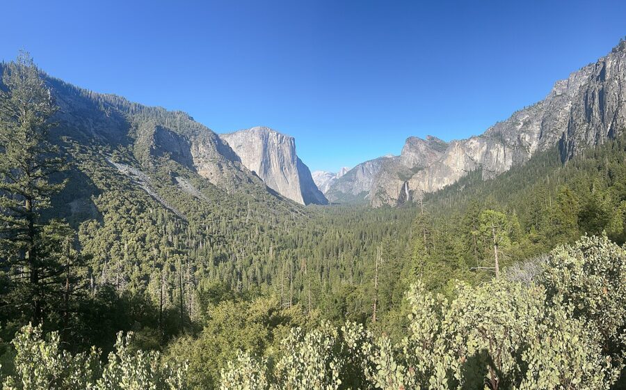
Give your first day to Yosemite Valley: Tunnel View, the base of Yosemite Falls, the Mist Trail to Vernal Fall and El Capitan Meadow at dusk. Spend the second on Glacier Point and the giant sequoias of the Mariposa Grove, and add the Tioga Road high country only if you come between late May and November, when it is open.
For 2026 the National Park Service dropped the timed-entry reservations it had used in recent summers, so you can drive in on any date as long as you pay the gate fee: $35 per car for seven days. Visitors who do not live in the US pay an extra $100 per person aged 16 and over unless they carry an annual or America the Beautiful pass.
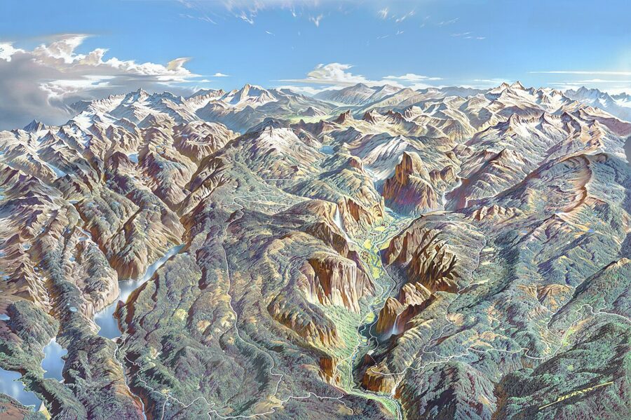
Yosemite covers nearly 1,200 square miles of the Sierra Nevada, but most first visits happen in a valley seven miles long and about a mile wide, sitting at roughly 4,000 feet. The park recorded more than four million visits in 2025, and most of them squeezed into that valley between Memorial Day and Labor Day. Go beyond it and the crowds thin fast.
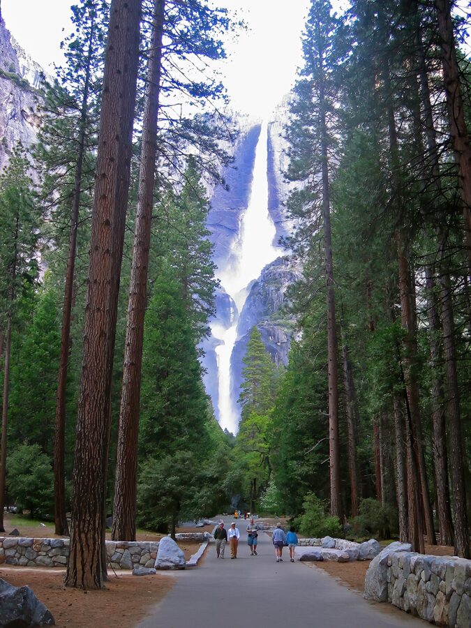

The high viewpoints are the seasonal part. Glacier Point Road and Tioga Road both closed for snow in November 2026 and normally reopen in late May or June, so a winter trip is a valley-and-sequoias trip, with skiing and skating added.
On this page
Yosemite in brief: where it is and how to get there
The park sits in central California, east of the farm towns of the San Joaquin Valley and west of Highway 395 and Mono Lake. Four main entrances lead in: Arch Rock on Highway 140 is the closest to the valley, about 20 minutes away, followed by Big Oak Flat on Highway 120 (40 minutes), the South Entrance on Highway 41 (one hour) and Tioga Pass on Highway 120 east (an hour and a half, summer and fall only). Hetch Hetchy has its own gate in the northwest corner.
Driving times from nearby cities
The Park Service gives these distances to Yosemite Valley. Inside the park, follow road signs over your GPS, which can route you wrong.
| From | Distance | Time | Route |
|---|---|---|---|
| San Francisco Bay Area | 195 miles | 4 to 5 hours | I-580 and I-205, then Hwy 120 or Hwy 140 |
| Sacramento | 176 miles | 4 hours | Hwy 99 south, then Hwy 120 or 140 |
| Fresno | 94 miles | 2 hours 15 minutes | Hwy 41 north to the South Entrance |
| Merced | 81 miles | 2 hours | Hwy 140 through Mariposa |
| Los Angeles | 313 miles | 6 hours | I-5, Hwy 99, then Hwy 41 via Fresno |
| Reno (June to October) | 218 miles | 5 hours | US 395 to Lee Vining, then Tioga Road |
| Las Vegas (June to October) | 400 miles | 8 hours | US 95, then Hwy 120 over Tioga Pass |
From Modesto, it is roughly 90 miles to the Big Oak Flat Entrance; allow two and a half to three hours to reach the valley floor. When Tioga Road is closed there is no way in from the east, so the Reno and Las Vegas summer routes stop working.
Nearest airports
Fresno Yosemite International is the closest airport with flights from several major airlines, and Highway 41 from Fresno is the most direct way to the Mariposa Grove. Merced Yosemite Regional has had small-jet service from Contour Airlines since July 1, 2026, with daily flights from Los Angeles and five a week from Las Vegas. Many visitors fly into San Francisco, Oakland, San Jose or Sacramento and drive four hours for cheaper fares.
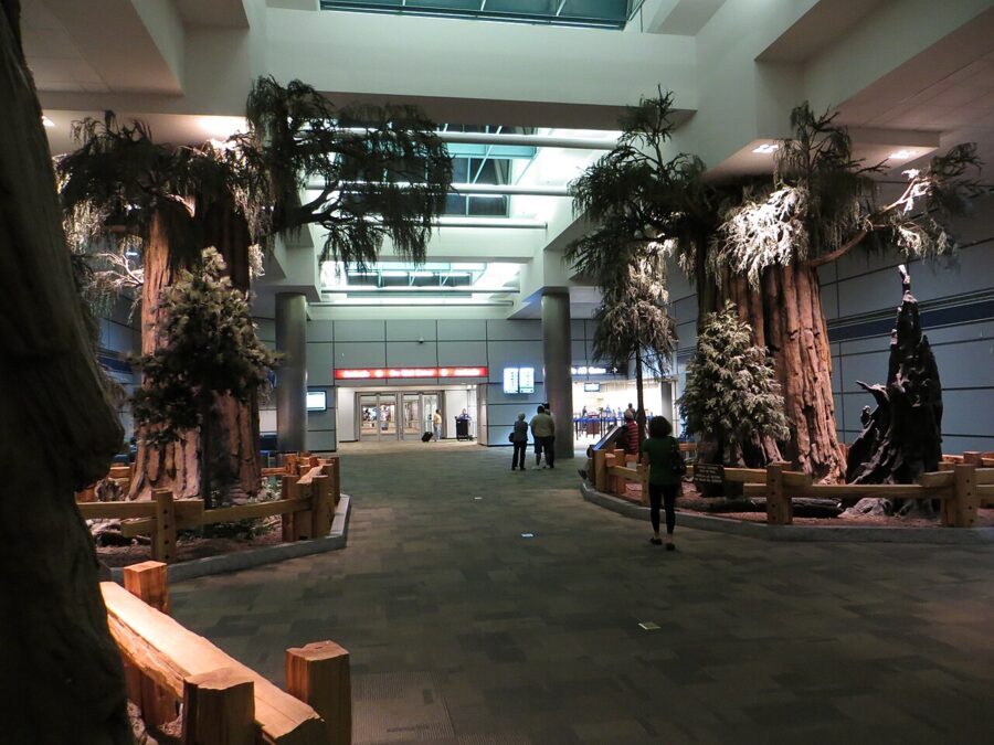

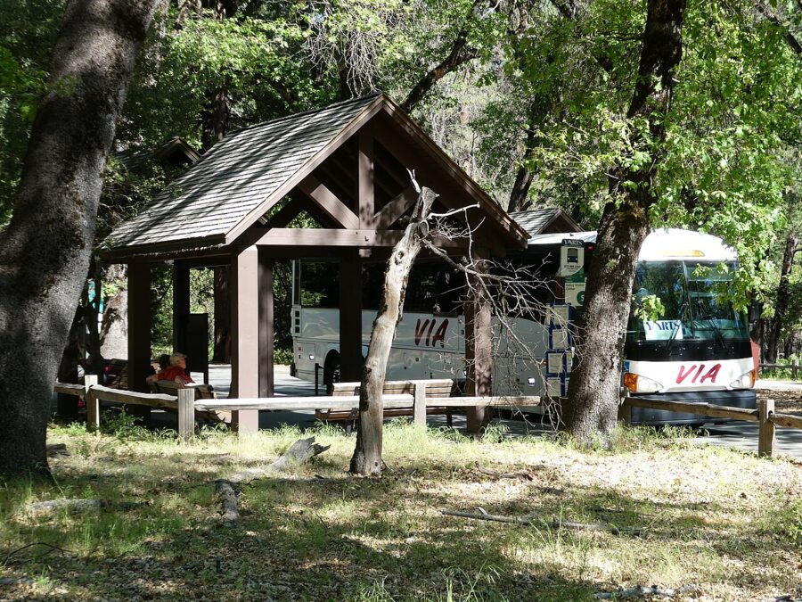
Without a car, YARTS buses run into the valley year-round on Highway 140 from Merced, where they meet Amtrak. Adult fares from Merced are $22 one way and $44 round trip, and summer routes add Fresno ($20 one way), Sonora ($22) and Mammoth Lakes ($30). The park entrance fee is not included in the ticket.

Entry rules, fees and seasons for 2026 and 2027
No reservation is needed to enter Yosemite in 2026. The park announced on February 18, 2026 that it would manage traffic and parking on the ground instead. As of November 2026 it had not said what 2027 will bring, so check its Entrance Reservations page before you book a peak weekend.
| Fee or pass (as of November 2026) | Price | Notes |
|---|---|---|
| Private vehicle | $35 | 7 days, everyone in the car |
| Motorcycle | $30 | 7 days |
| On foot, bike or bus | $20 per person | 7 days; 15 and under free |
| Nonresident surcharge | $100 per person | Age 16 and over, on top of the gate fee, unless you hold an annual or America the Beautiful pass |
| Yosemite annual pass | $70 | US citizens and residents |
| America the Beautiful pass | $80 resident / $250 nonresident | Covers all national parks for a year |
If you are visiting from abroad with three or more adults, or will also visit another surcharge park such as Yellowstone or the Grand Canyon, the $250 nonresident America the Beautiful pass costs less than paying $100 a head at each gate. US residents got free entry on ten days in 2026, the last on November 11; the 2027 list had not been posted as of November 2026.
Permits and lotteries
- Half Dome cables: a permit is needed every day the cables are up, normally from the Friday before Memorial Day to the day after the second Monday in October. The preseason lottery runs March 1 to 31 on Recreation.gov, with results in mid-April; about 225 day-hiker permits are issued per day. It costs $10 to apply and $10 per person if you win. A daily lottery opens two days before each hike date.
- Overnight hikes: a wilderness permit is required year-round.
- Campgrounds: most need reservations on Recreation.gov and sell out within minutes. North Pines opens for 2027 through an early-access lottery, with results on December 22, 2026.
Seasonal roads and services
| Place | Usual season | Status as of November 20, 2026 |
|---|---|---|
| Tioga Road and Tuolumne Meadows | Late May or June to November | Closed for the season |
| Glacier Point Road | Late May or June to November; plowed to Badger Pass in winter | Closed for the season |
| Mariposa Grove Road and shuttle | Shuttle from mid-April at the earliest to November 30 | Road closed for the season; check the shuttle before you go |
| Hetch Hetchy Road | Year-round, sunrise to sunset | Open; closes in snow |
| Badger Pass Ski Area | December or January to spring, snow permitting | Not yet open |
Tioga Road opened on May 15 in 2026, one of its earliest dates in years. Plowing starts around April 15 every year, and the park will not predict an opening date until the snow is mostly gone.
The main things to do
Tunnel View and Valley View
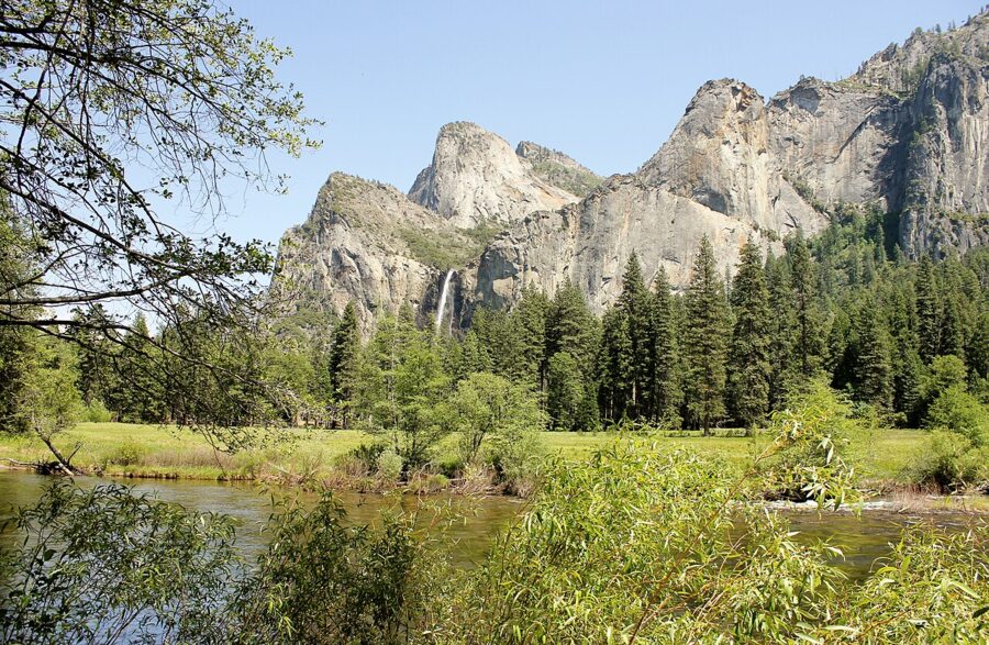
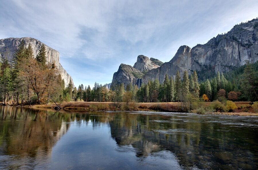
Tunnel View gives you El Capitan, Half Dome and Bridalveil Fall in one frame; come early or late in summer to miss the tour buses. Valley View, on one-way Northside Drive near the western exit, shows El Capitan and Cathedral Rocks from river level, so stop on your way out. Both take 15 minutes.
Yosemite Falls
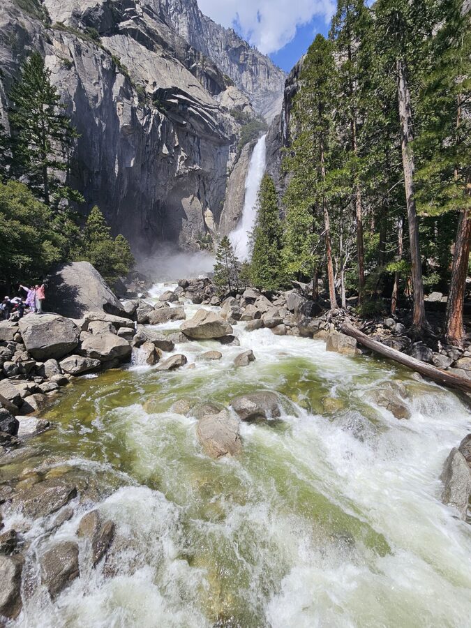
Lower Yosemite Fall is the easy one: a one-mile paved loop from shuttle stop 6, wheelchair-accessible on the east side, 30 to 45 minutes. In May and June the spray soaks the bridge; by late summer the fall can stop entirely.
The Yosemite Falls Trail to the top is the opposite: 7.2 miles round trip with 2,700 feet of climbing on dozens of switchbacks, six to eight hours, starting by Camp 4. If that sounds like too much, hike the first mile to Columbia Rock for the valley view and turn around.

Bridalveil Fall
Bridalveil drops 620 feet off the valley’s south wall and flows all year, thinly by fall. A paved half-mile path leads from its parking area to a viewing platform. Most people stop here right after Tunnel View; half an hour is enough.

El Capitan and the climbers
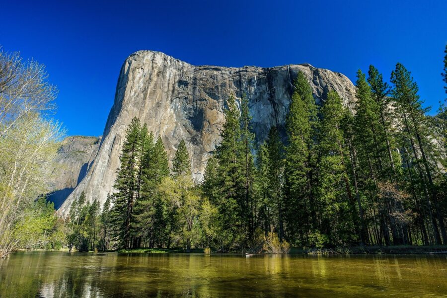
El Capitan rises about 3,000 feet from its base to the summit, and from spring to fall there are usually climbers somewhere on the wall. Bring binoculars to El Capitan Meadow on Northside Drive and look for haul bags. Rangers set up spotting scopes there in summer and early fall.
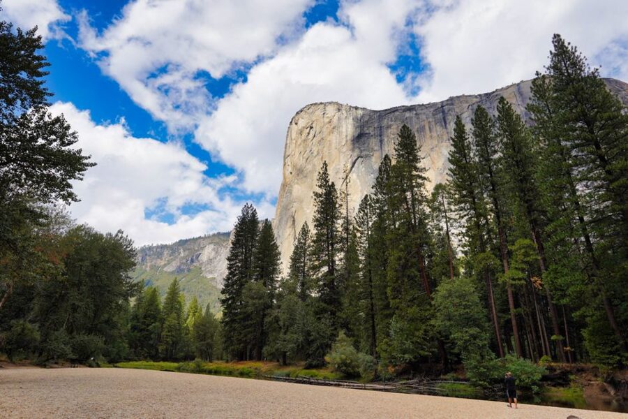
Bridge work at El Capitan brings 15-minute weekday delays from 7am to 7pm through December 2026, and the shuttle stop there is closed meanwhile.

Cook’s Meadow and Half Dome from the valley floor
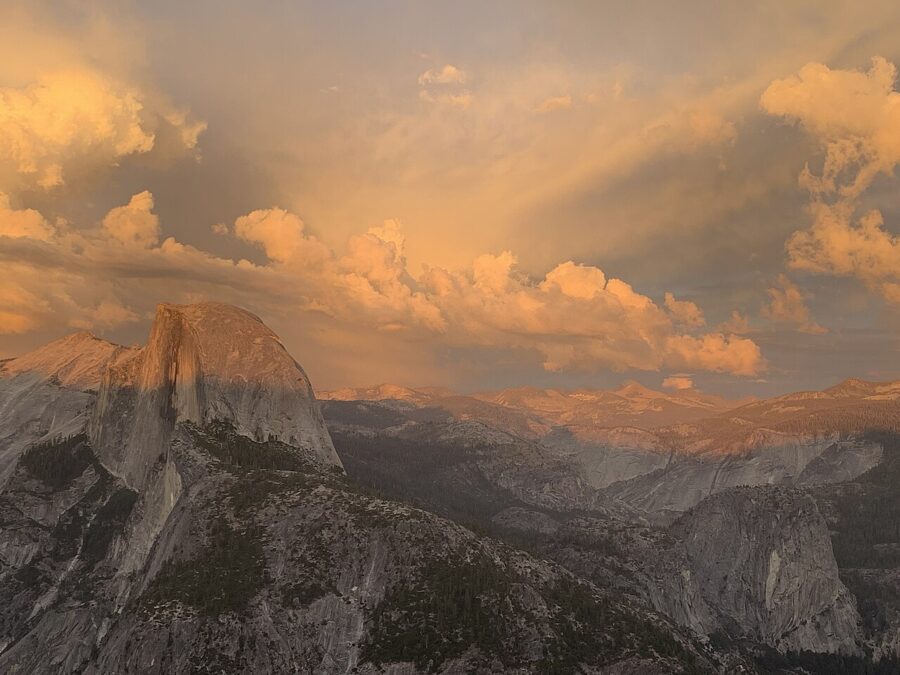
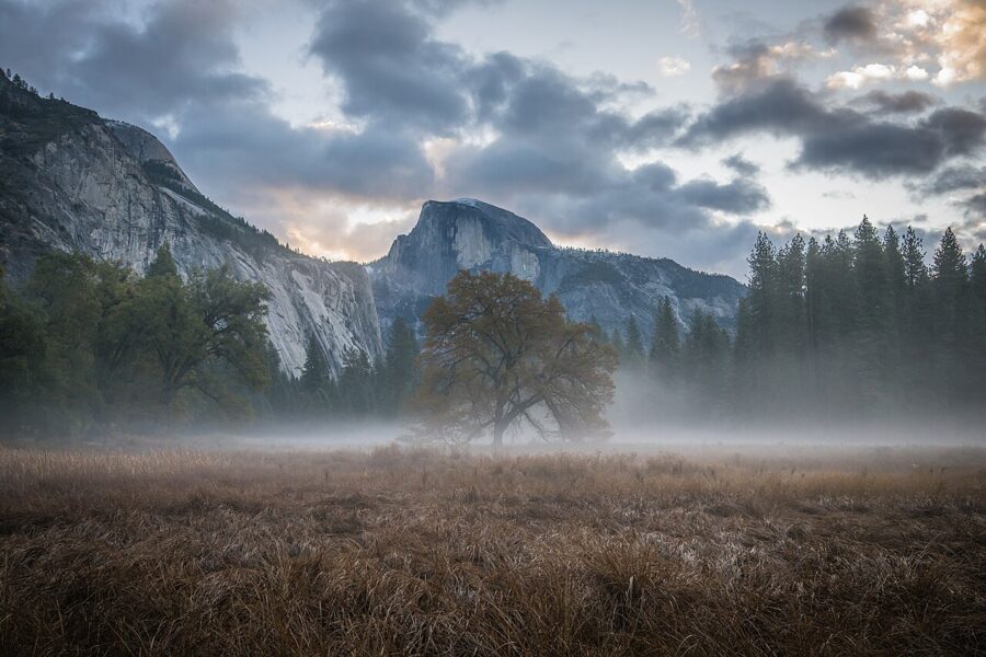
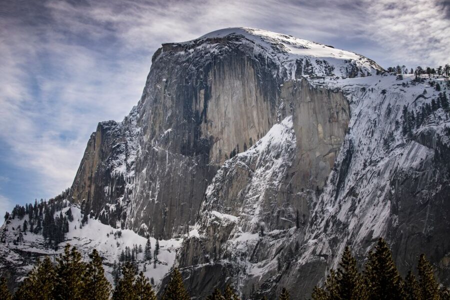
The flat one-mile Cook’s Meadow Loop, from shuttle stop 6, is the best short walk in the valley, with Yosemite Falls behind you and Half Dome ahead. Do it at sunset, when Half Dome turns orange. Sentinel Bridge, on the loop’s southern edge, is where photographers line up for its reflection in the Merced.

The Mist Trail to Vernal and Nevada Falls
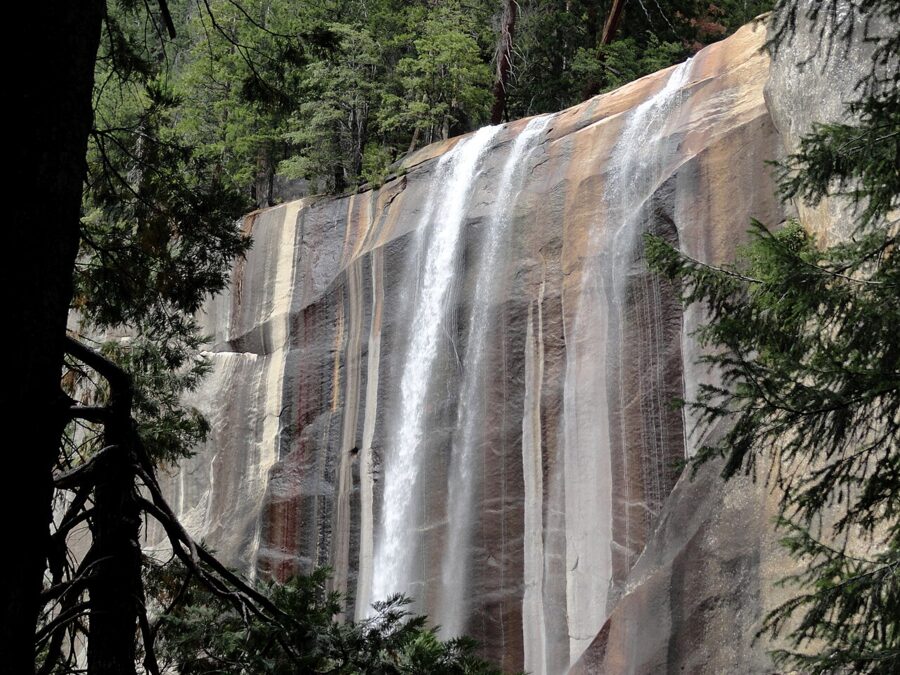
If you do one real hike, make it this one. From Happy Isles (shuttle stop 16) the trail climbs to the Vernal Fall Footbridge, 1.6 miles round trip with 380 feet of gain. Past the bridge, granite steps climb beside the 317-foot fall to its top: 2.4 miles round trip and 1,000 feet of gain, two to four hours.
Strong hikers carry on to the top of Nevada Fall: five miles round trip, 2,000 feet of climbing, four to six hours. Come back down the drier John Muir Trail via Clark Point. From April to June the spray drenches the steps, so bring a rain jacket and shoes with grip.

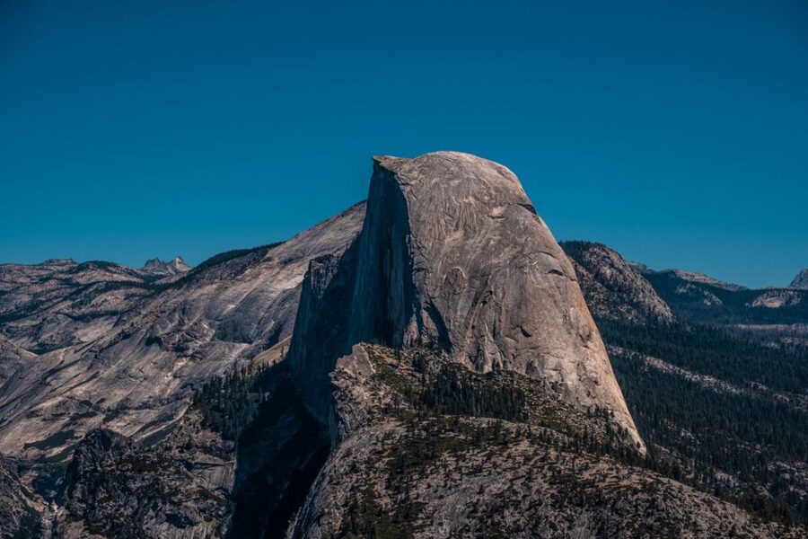
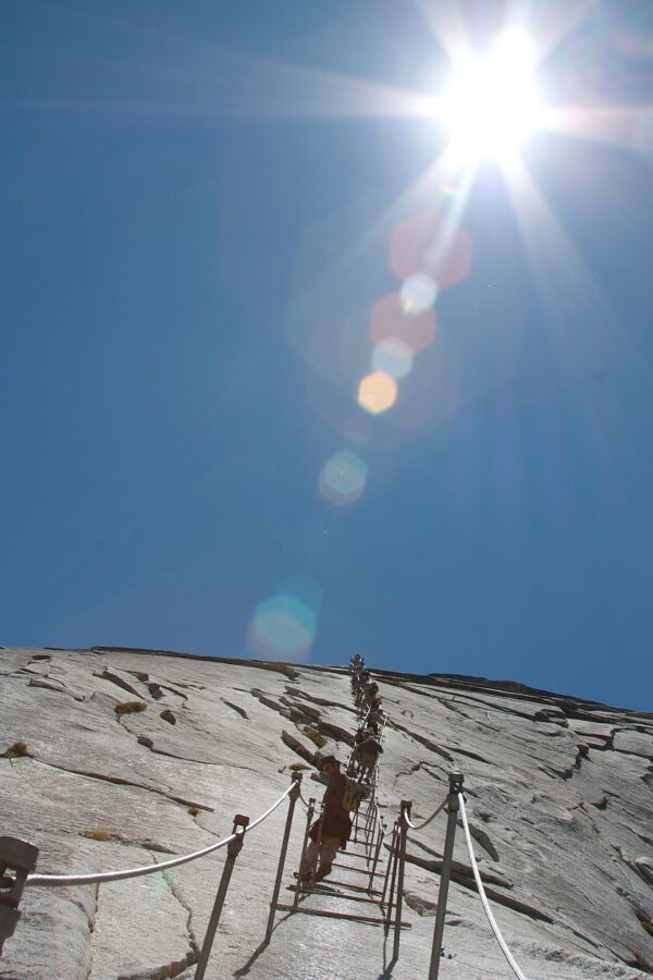
Half Dome continues beyond Nevada Fall: roughly 14 to 16 miles round trip, about 4,800 feet of gain and ten to twelve hours, permit required. Start before dawn, carry at least three quarts of water, and turn back if storms threaten the cables.

Glacier Point, Sentinel Dome and Taft Point (late May to November)
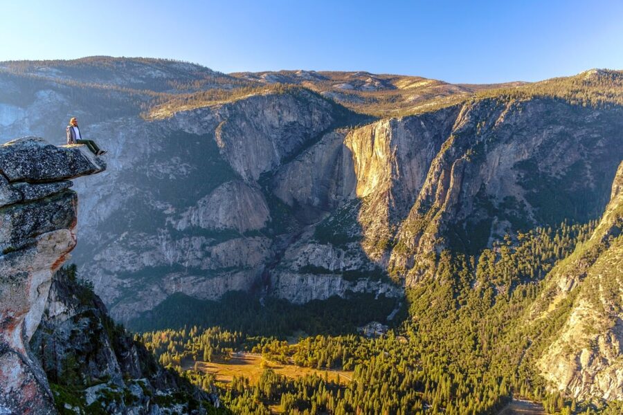
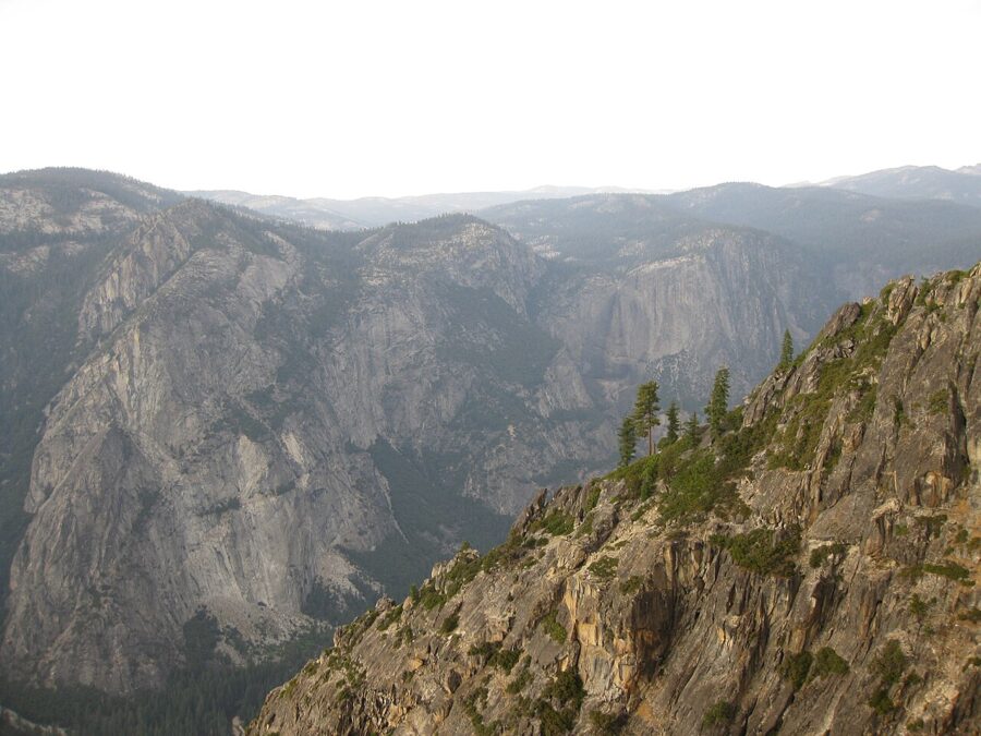
Glacier Point is an hour’s drive from the valley: nine miles south on Wawona Road, then 16 miles up Glacier Point Road. From the paved, wheelchair-accessible overlook you look across at Half Dome and down 3,200 feet to the valley. The lot is small for summer crowds, so come early or late.
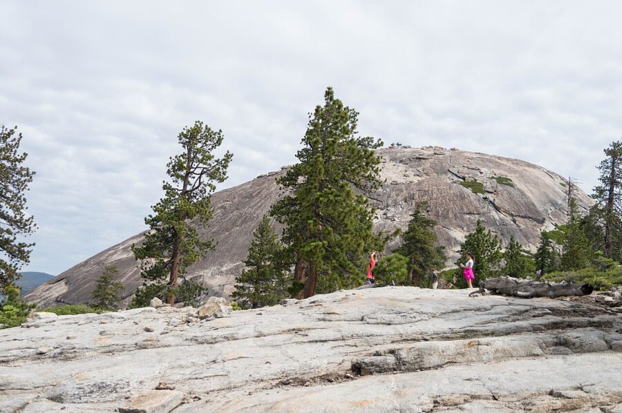
Two short hikes share a trailhead on Glacier Point Road: Sentinel Dome, 1.8 miles round trip to a bald granite top with a 360-degree view, and Taft Point, 2.4 miles round trip to a cliff edge beside deep fissures. Allow one to two hours each.


The four-hour Glacier Point Tour bus from Yosemite Valley Lodge ran from May 9 to October 12 in 2026 and sells one-way seats to hikers who walk back down. The Four Mile Trail, the usual way down, was closed near Union Point in November 2026.
Mariposa Grove of Giant Sequoias
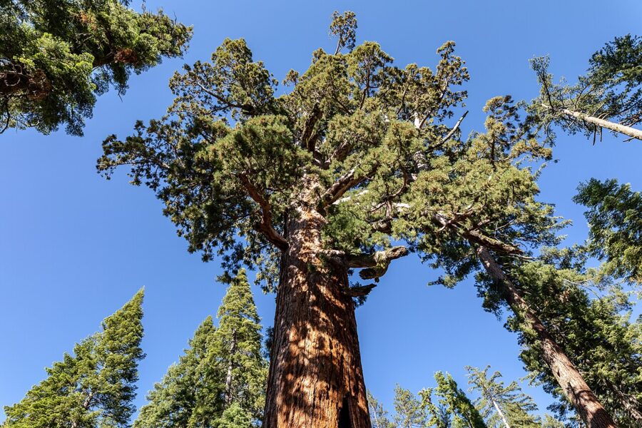
The Mariposa Grove holds more than 500 mature giant sequoias near the South Entrance, about an hour from the valley. Park at the Welcome Plaza, which has about 300 spaces and fills by late morning, and ride the free shuttle two miles up to the grove. In 2026 it ran every 15 minutes, 8am to 7pm from May 3 to September 23, 8am to 5pm through October and 8am to 3:30pm in November.
- Big Trees Loop: 0.3 miles, flat and wheelchair-accessible, 30 to 45 minutes, past the Fallen Monarch.
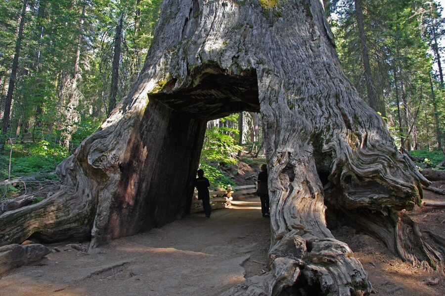
- Grizzly Giant Loop: 2 miles and 300 feet of gain, 1.5 to 2 hours, past the Bachelor and Three Graces, the Grizzly Giant and the California Tunnel Tree.
- Wawona Point: 7 miles round trip and 1,200 feet of gain, 4 to 6 hours, to a viewpoint above the grove.

From December 1 until at least mid-April there is no shuttle, so you walk two miles each way from the plaza with about 500 feet of climbing, often on snow. There is no food at the grove or the plaza, and pets are not allowed.
Tioga Road, Tenaya Lake and Tuolumne Meadows (summer and fall)
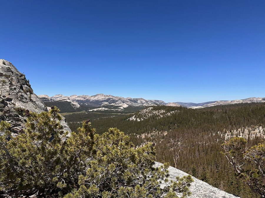
Tioga Road crosses the park for 39 miles between 6,200 and almost 10,000 feet. Tuolumne Meadows is about 55 miles and an hour and a half from the valley, with no gas, so fill up at Crane Flat.
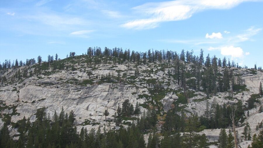

Tenaya Lake, a few miles east, has a sandy beach at its eastern end for a picnic stop. In summer 2026 a free shuttle linked Tuolumne Meadows and Olmsted Point, and a paid hikers’ bus ran once a day from the valley.
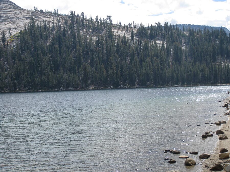

Tuolumne Meadows sits at 8,600 feet, where July highs average 72°F. Walk along the Tuolumne River from Pothole Dome, or scramble up Lembert Dome for the view.
Hetch Hetchy
Hetch Hetchy is Yosemite’s flooded twin, a granite valley dammed in the 1920s to give San Francisco its drinking water. It is 38 miles and about an hour and a half from Yosemite Valley, through the Big Oak Flat Entrance and Evergreen Road, and the road is open only from sunrise to sunset. Walk across O’Shaughnessy Dam and follow the shore trail toward Wapama Falls, about five miles round trip.
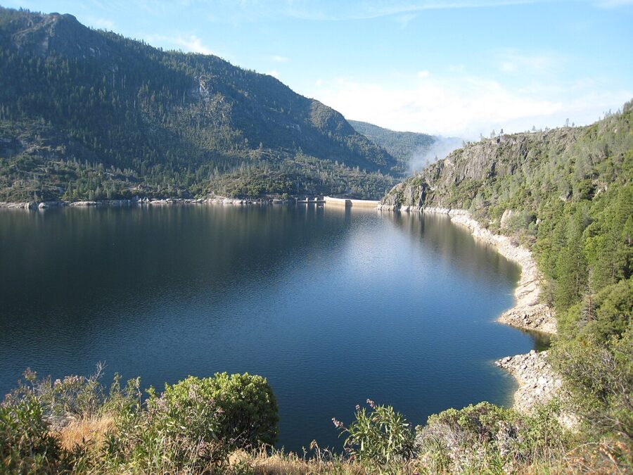

There are no services, no swimming or boating, and no dogs on the dam or trails. Vehicles over 25 feet long cannot use the road.
Smaller things worth your time
Yosemite Village: museum, gallery and visitor centers
Start at the Welcome Center (9am to 5pm) for maps and trail conditions. The Exploration Center next door screens the 23-minute film Spirit of Yosemite on the hour and half-hour. The Yosemite Museum covers the Miwok and Paiute people of the valley, with basketry and cultural demonstrations; it kept 9am to 5pm hours most of 2026 and 10am to 4pm from late October. All three are free.
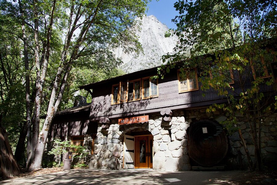

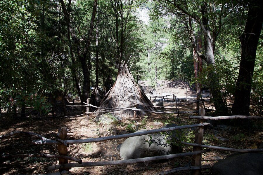
Behind the museum, a short loop leads through a reconstructed village with bark shelters, a ceremonial roundhouse and acorn-grinding holes. The Ansel Adams Gallery nearby sells prints and runs free photography walks on some mornings, by registration.

The Ahwahnee and the Valley Chapel
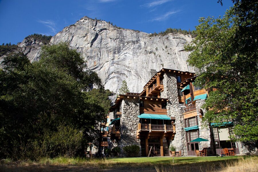
You don’t need a room to see The Ahwahnee, the 1927 hotel of stone and concrete stained to look like wood. Walk through the Great Lounge, have a drink in the bar, or join the free one-hour history tour from the flagpole.

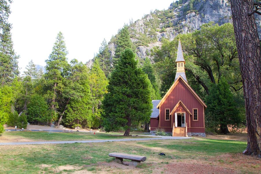
The small wooden Yosemite Valley Chapel dates from 1879 and still holds Sunday services; in summer 2026 they were at 9:15am and 11am. It stands beside Southside Drive, and the meadow next to it has a good view of Yosemite Falls.

Mirror Lake
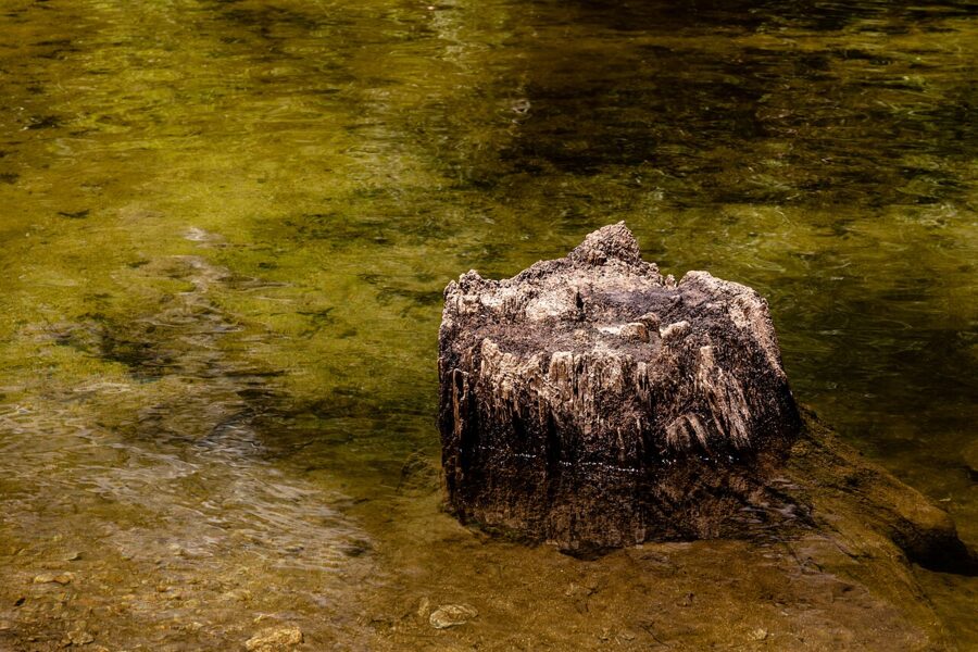
From shuttle stop 17 a paved road climbs gently to Mirror Lake, two miles round trip. In April and May, Half Dome reflects in still water; by late summer the lake is a dry sandy flat. Skip it after July unless you want a quiet forest walk.

Biking, rafting and ranger programs
The valley has more than 11 miles of paved, mostly flat bike paths, the easiest way between sights in summer. Rentals in 2026 ran from early April to October 25 at Yosemite Valley Lodge, Curry Village and Yosemite Village: $48 a full day and $36.50 a half day, helmet included.
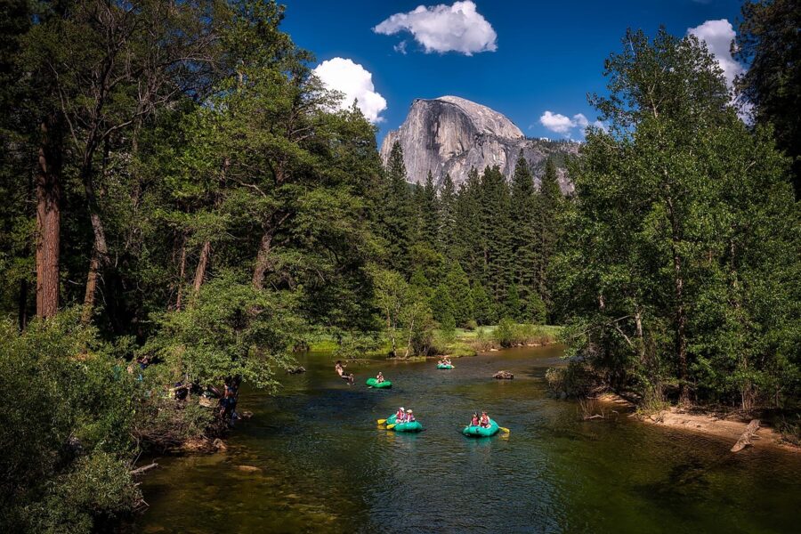
Curry Village rents rafts in early summer when the river is safe; in 2026 the stand had closed by mid-July. Free ranger walks and evening programs run daily in summer, and the two-hour Valley Floor Tour by tram or bus ($41.25 adults, $28.25 children) runs all year.
Tuolumne Grove, Merced Grove and Wawona
The Tuolumne Grove near Crane Flat is a two-mile round-trip walk down an old road to a few dozen sequoias; the 500-foot climb back is the hard part. The smaller Merced Grove, off Big Oak Flat Road, is three miles round trip and usually empty.

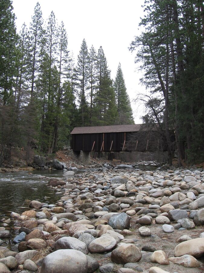
At Wawona, the Yosemite History Center gathers old cabins, a blacksmith shop and wagons from around the park, with outdoor exhibits open daily. The Wawona Hotel nearby has been closed since December 2024 for structural repairs, with no reopening date as of November 2026.

Winter: skating, skiing and snowshoes
The outdoor ice rink at Curry Village was set to open on November 13, 2026, conditions permitting, with sessions at noon, 3:30pm and 7pm plus 8:30am on weekends. On the 2025-26 price list, tickets were $17.50 for adults and $16.50 for children, plus $7 for skates.
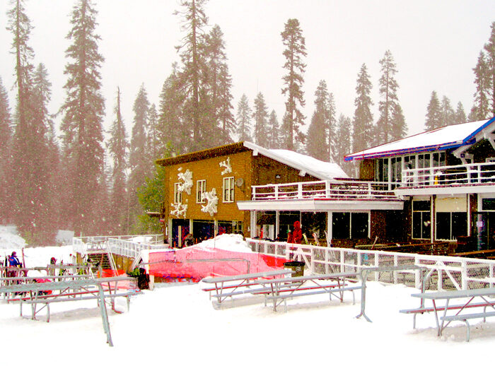
Badger Pass Ski Area, on Glacier Point Road, typically opens in December or January, with gentle downhill runs, tubing, cross-country trails and a free shuttle from the valley.
Events by month
- February: the Horsetail Fall “firefall” on clear evenings.
- March: the Half Dome preseason lottery.
- April to June: peak waterfalls; Tioga and Glacier Point roads reopen in late May or June.
- July and August: wildflowers in Tuolumne Meadows.
- Late October: black oaks and bigleaf maples turn color on the valley floor.
- November: the ice rink opens and the high roads close.
- December: the Bracebridge Dinner at The Ahwahnee, a holiday feast with music and pageantry once directed by Ansel Adams; the 2026 dates run December 8 to 22, several sold out by November.
Where to eat and drink
Almost every place to eat in the park is run by the concessioner, Yosemite Hospitality, and hours shrink after Labor Day. All the places below were trading in summer or fall 2026. The cheapest option is the Village Store, the park’s biggest grocery, for picnic supplies.
- Coffee and breakfast: Degnan’s Kitchen in Yosemite Village (7am to 6pm, Peet’s coffee, sandwiches, indoor seats and Wi-Fi); the Coffee Corner at Curry Village; Starbucks and the Base Camp Eatery breakfast counter at Yosemite Valley Lodge, from 6:30am.
- Quick lunch: Base Camp Eatery (burgers, chicken, pasta, open to 9pm in summer); the Village Grill for burgers and soft-serve (closed in winter); Meadow Grill Taqueria at Curry Village for tacos and burritos in summer.
- Pizza and beer: the Pizza Deck at Curry Village, outdoor tables under Glacier Point, open until 10pm in summer; Bar 1899 next door for craft beer.
- Dinner: the Mountain Room at Yosemite Valley Lodge, a steakhouse facing Yosemite Falls (book on OpenTable); Seven Tents Pavilion at Curry Village for homestyle plates.
- The splurge: The Ahwahnee Dining Room, with breakfast, lunch, dinner and a Sunday brunch. Dinner needs a reservation and smart clothes.
- Outside the valley: the Tuolumne Meadows Grill in summer, the Wawona Store (8am to 8pm), the Glacier Point snack and gift shop in season, and the El Portal Market just outside the Arch Rock Entrance.
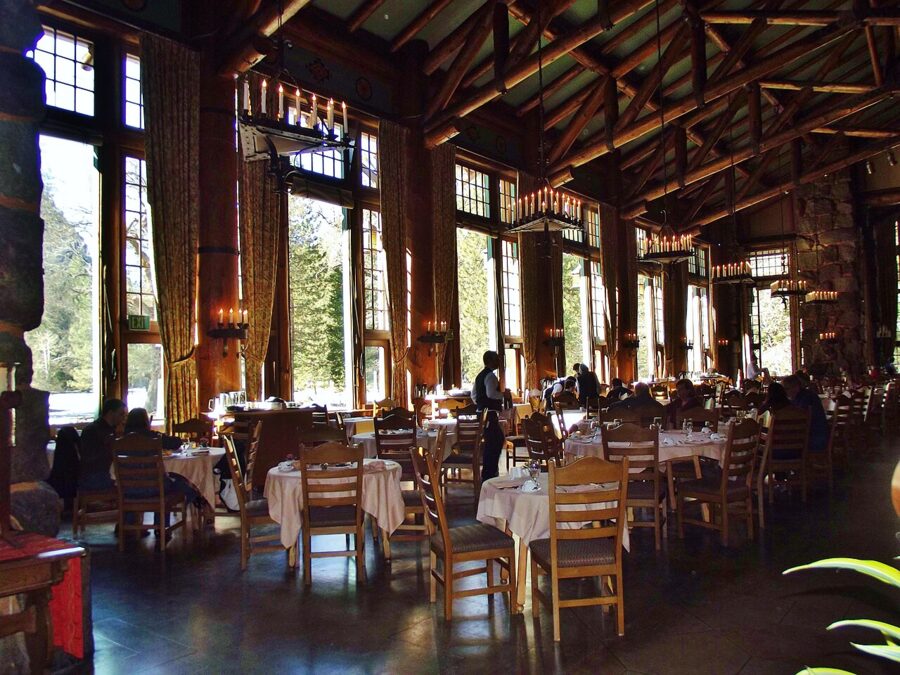

The Wawona Hotel Dining Room and the White Wolf dining room were both closed through 2026, so don’t plan meals around them.
When to go, and how long to stay
Late May and June is the best all-round time: the waterfalls are full and the high roads usually open. September brings fewer people with everything open, though the falls are low. April and May give waterfalls and dogwood blossom, but Glacier Point and Tioga Road are usually still closed.
| Month | Yosemite Valley average high / low | What to expect |
|---|---|---|
| January | 48°F / 29°F | Snow possible, chains often required, quiet |
| April | 63°F / 38°F | Waterfalls building, high roads closed |
| May | 71°F / 45°F | Peak waterfalls, roads opening |
| July | 89°F / 57°F | Hot, busiest, everything open |
| September | 83°F / 51°F | Warm, waterfalls low, fewer people |
| October | 71°F / 41°F | Fall color, first storms late in the month |
| December | 46°F / 28°F | Winter services only, skating and skiing |
The figures are the park’s 1991 to 2020 averages. About 95 percent of the year’s rain and snow falls between October and May, and wildfire smoke can haze the views from late summer into fall.
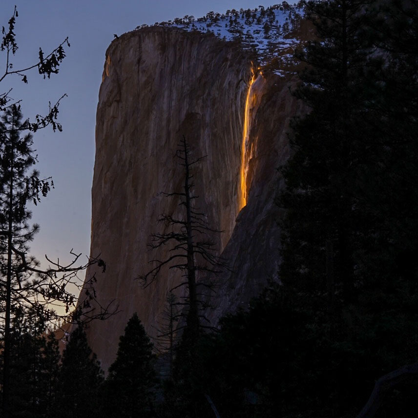
No reservation was needed for the 2026 firefall, but the park banned stopping on Northside Drive and sent viewers on a 1.5-mile walk each way from Yosemite Falls parking to the El Capitan Picnic Area. Check its Horsetail Fall page in January for the 2027 rules.
How many days? One full day covers the valley highlights. Two days add Glacier Point and the Mariposa Grove, and three let you drive Tioga Road or hike to Nevada Fall without rushing. In winter, two days is plenty.
You are unlikely to see the rarest animals, Sierra Nevada bighorn sheep and the Sierra Nevada red fox. Black bears, mule deer, coyotes and high-country marmots you will.
A simple one- or two-day plan
Day one, Yosemite Valley. Arrive by 8am via Tunnel View and Bridalveil Fall, park once and use the shuttle. Hike the Mist Trail to the top of Vernal Fall, lunch at Curry Village, then see Lower Yosemite Fall and the museum. End with sunset on Half Dome from Cook’s Meadow.
Day two, the south side. From late May to November, drive to Glacier Point early and hike Sentinel Dome or Taft Point. Reach the Mariposa Grove Welcome Plaza before noon for the Grizzly Giant Loop, then visit the Wawona history center. In winter, swap Glacier Point for the ice rink or Badger Pass.
With a third summer day, drive Tioga Road to Olmsted Point, Tenaya Lake and Tuolumne Meadows.
Getting around and practical notes
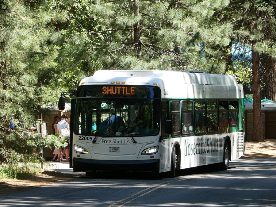
Free valley shuttles run daily from 7am to 10pm. The green Valleywide line serves every stop about every 22 to 32 minutes; the purple East Valley line covers the east end every 18 to 22 minutes.

- Parking: the valley has three main lots, at Curry Village, Yosemite Village and Yosemite Falls. They can fill by late morning on weekends and holidays. Once you have a space, keep it.
- Gas: none in Yosemite Valley. The nearest pumps are El Portal (15 miles), Crane Flat (16.5 miles) and Wawona (28 miles), all open 24 hours with card payment.
- Electric cars: Level 2 chargers with J1772 plugs at The Ahwahnee, Curry Village, the Welcome Center, Yosemite Falls parking, Yosemite Valley Lodge and the Wawona Store.
- Chains: from November to March, chain controls can apply to every vehicle, four-wheel drives and rentals included. Carry them.
- Rules: drones are banned, pets must stay off trails and out of buildings (leashed pets may use paved paths), and bikes stay on pavement.
- Medical: the Yosemite Medical Clinic takes urgent-care walk-ins on weekday afternoons; for emergencies call 911.
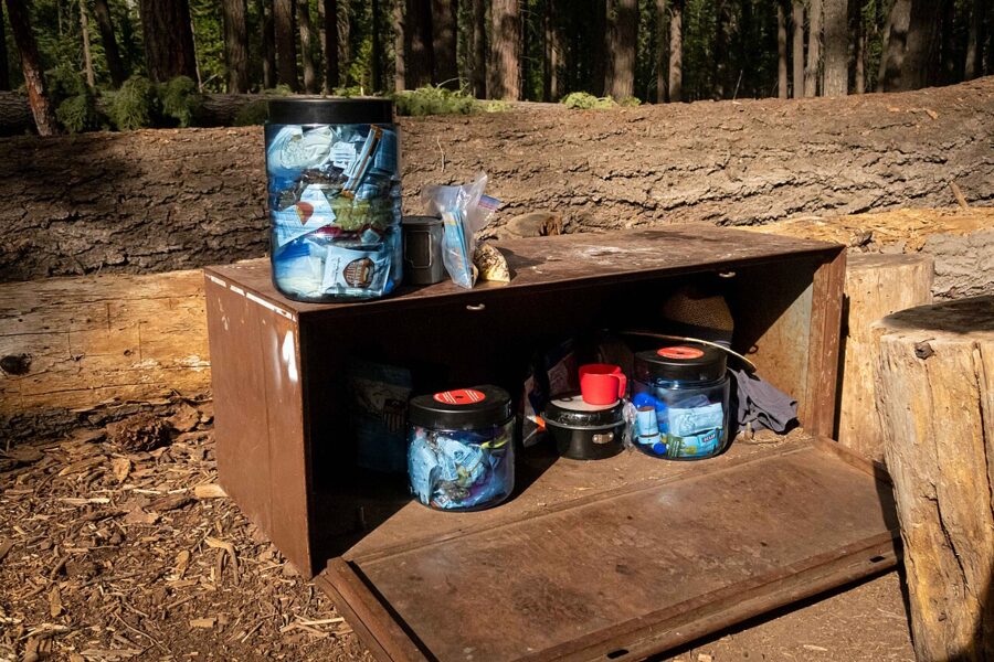
Bears are the rule that catches people out. Food, coolers, trash and anything scented may not stay in your car overnight; it goes in a metal locker, your room or a hard-sided RV. Stay at least 150 feet from bears and drive the speed limit: the park counted 27 bears hit by vehicles in 2025.

Fast water is the bigger risk: the Merced runs fast and cold in spring, and the rocks around every waterfall are slick. Cell service is patchy, so download the National Park Service app and its offline maps before you arrive.
One last tip: call the park’s recorded road line (press 1, then 1 on the main information number) on the morning you drive in. It gives chain controls and road closures as they happen, which is better than finding out at the gate.