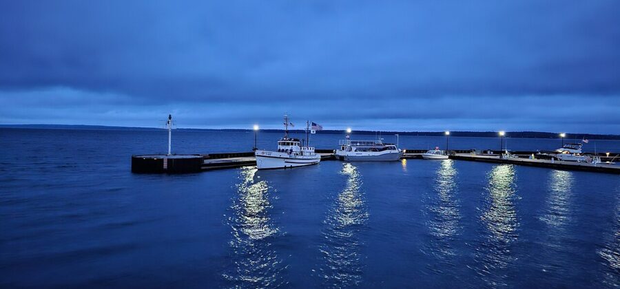
The best things to do in Bayfield happen on Lake Superior: take the Grand Tour boat or a guided kayak trip out to the sandstone sea caves of the Apostle Islands, ride the 25-minute ferry to Madeline Island, and, from late summer into October, drive up the hill to the orchards. Two full days covers all of that; give it three if you want a spare day for the weather, because wind cancels more Lake Superior plans than anything else.
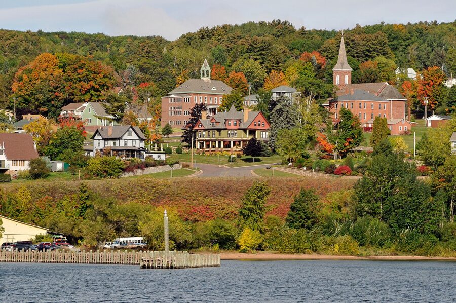
Bayfield is Wisconsin’s smallest city, about 580 people at the 2020 census, built on a steep hill above a small harbor. It grew on lumber, fishing and brownstone in the 1880s, and it still looks the part: Victorian houses up the slope, a brownstone courthouse, a marina and a ferry dock at the foot of Washington Avenue. In summer it is busy and booked; from November to April most boats stop and the town goes quiet.


On this page
Bayfield in brief: where it is and how to get there
Bayfield sits at the tip of the Bayfield Peninsula, at the northern end of Wisconsin, facing Madeline Island about 2.5 miles across the water. The rest of the Apostle Islands spread out to the north and east, and the Red Cliff Reservation of the Red Cliff Band of Lake Superior Chippewa begins just up the road. This is Ojibwe homeland: La Pointe, the town on Madeline Island, is Mooningwanekaaning in Ojibwe, the place full of yellow-shafted flickers.
Flying in. The nearest airport with airline service is Duluth International (DLH), about 85 miles west and just under two hours by car. As of November 2026 the airport lists daily Delta flights to Minneapolis and United flights to Chicago. The other option is to fly into Minneapolis and drive about four hours.
Driving in. Almost everyone drives, and the last stretch from Duluth follows State Highway 13, the Lake Superior Scenic Byway. Drive times as published by the Bayfield Chamber and Visitor Bureau:
| From | Typical drive |
|---|---|
| Duluth, Minnesota (about 85 miles) | 1 hour 45 minutes |
| Eau Claire, Wisconsin | 3 hours |
| Minneapolis, Minnesota | 3 hours 50 minutes |
| Madison, Wisconsin | 5 hours 30 minutes |
| Milwaukee, Wisconsin | 6 hours 20 minutes |
| Chicago, Illinois | 7 hours 30 minutes |
On a longer Lake Superior road trip, Bayfield pairs naturally with Marquette, further along the south shore in Michigan’s Upper Peninsula.
The main things to do in Bayfield
Nearly everything here involves the lake, and nearly all of it is seasonal: boat tours run from May to mid-October, museums from late May to late September.
Apostle Islands National Lakeshore
The national lakeshore takes in 21 islands and a 12-mile strip of mainland shore west of town. Established in 1970, it holds red sandstone sea caves, sand beaches, old fishing camps and what the National Park Service calls the largest collection of lighthouses in the park system. Madeline Island, the only one with roads and year-round residents, is not part of it.
There is no entrance fee; you pay only for camping, docking, ranger programs and parking at Meyers Beach. The main visitor center is in the Old Bayfield County Courthouse at 415 Washington Avenue and opens in summer only. The Little Sand Bay visitor center, 13 miles north, is closed throughout 2026 for marina construction.
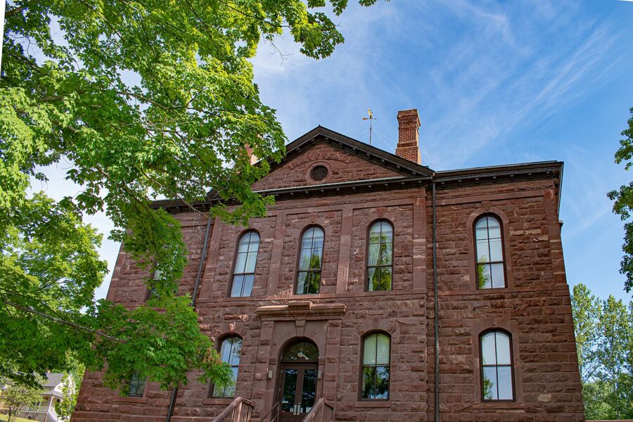

The islands can only be reached by water: on a scheduled boat, a guided kayak trip, or a water taxi or charter from the park’s list of authorized operators.
The Grand Tour and the lighthouse boats
Apostle Islands Cruises, the park’s concessioner, runs from 2 Front Street. Its Grand Tour is the simplest way to see the islands in one day: a narrated 55-mile loop of 2.5 to 3 hours past the Devils Island sea caves, the cliffs of the outer islands and two lighthouses. You stay on board throughout.
In 2026 it ran daily from May 9 to October 18, with an extra 4:30pm evening trip from early June to early September. Adults paid $53 and children 6 to 12 paid $32, plus a $2 fuel surcharge from July 29 and a $2 City of Bayfield passenger tariff. Expect a similar 2027 schedule, and book a few days ahead in July and August.
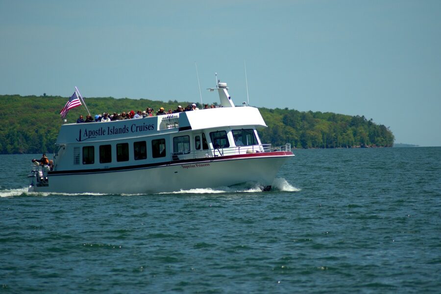
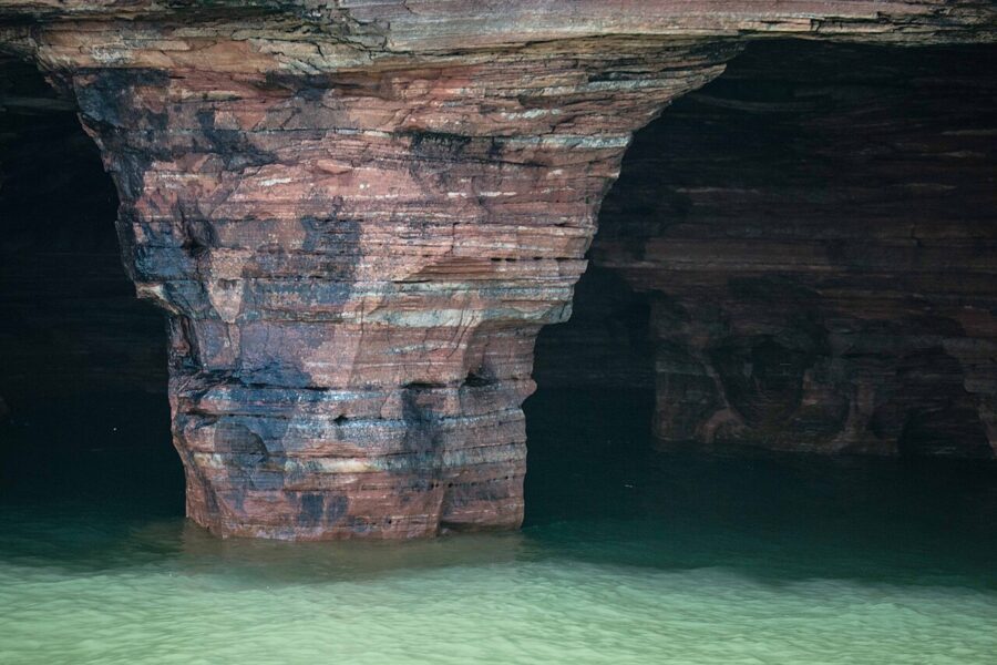

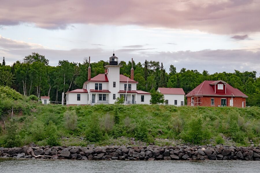
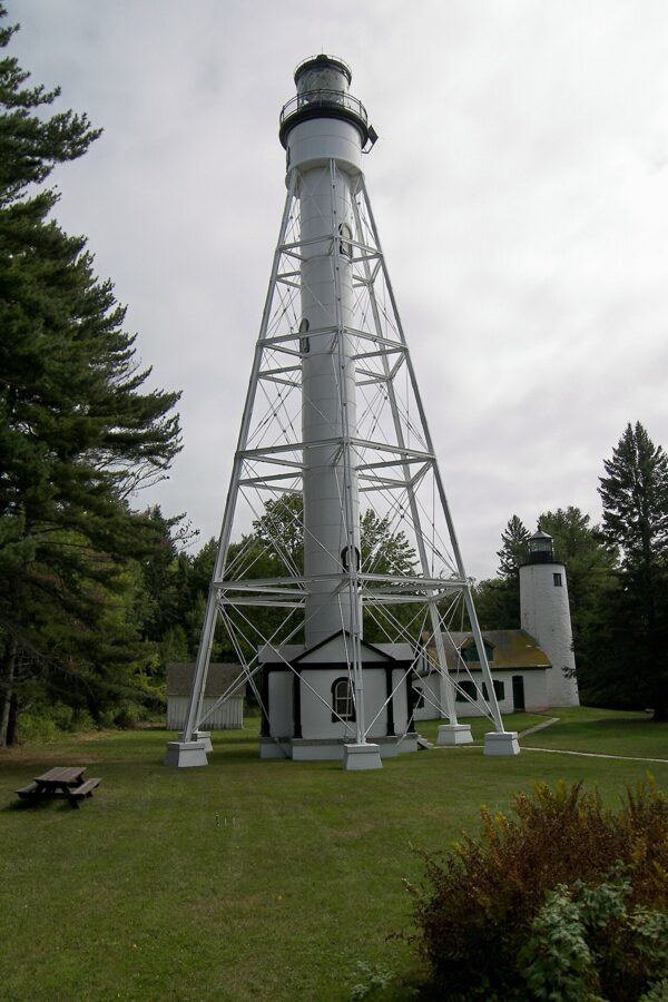
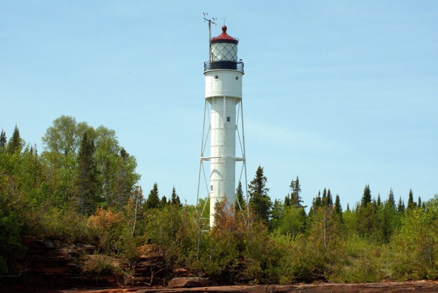
For time ashore, the same company runs hop-on, hop-off trips to Raspberry Island and Michigan Island, each with about two hours on the island; the ranger-led lighthouse tour is a separate park fee. In 2026 the Raspberry Island trip ran from June 20 to August 30 on five days a week, and the Michigan Island trip lets you climb a 120-foot tower. Neither passes the sea caves, so save them for a second day.

Kayaking to the sea caves
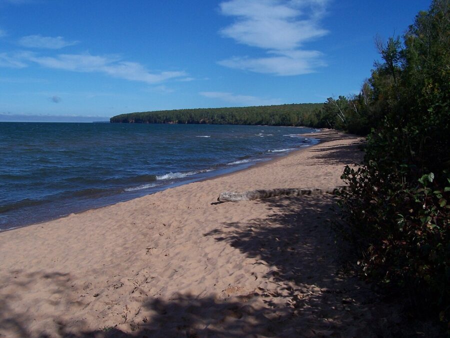
The mainland sea caves near Meyers Beach start about 1.5 miles from the launch and run another 3 miles along the shore. Meyers Beach is off Highway 13 between Cornucopia and Red Cliff, with stairs down to the sand and a $5 day parking fee for vehicles under 20 feet, paid digitally at the fee station.
Unless you are an experienced sea kayaker, go with a guide. The park is blunt: kayakers have died at the caves, summer surface water averages about 59°F, and waves bounce off the cliffs into confused water. It recommends a sea kayak of at least 16 feet, a wet suit and spray skirt, and no trips during small craft advisories.
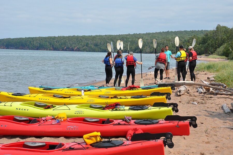
The park lists about a dozen authorized outfitters. Trek and Trail has a storefront downtown; South Shore Adventures, Wisconsin Paddle and Adventure Kayaking with Stevie Waters also work from Bayfield, Meyers Beach Kayaking from Red Cliff and Lost Creek Adventures from Cornucopia. Apostle Islands Kayaking Express takes paddlers out by motor boat and launches them at the Devils Island caves or Stockton Island, skipping miles of open water.
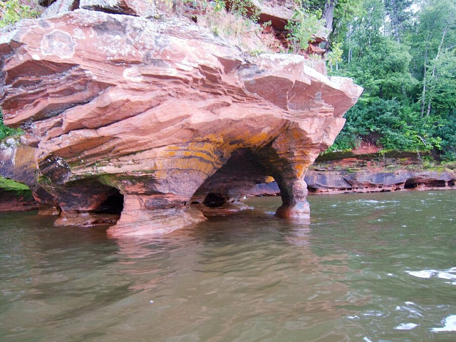

The Lakeshore Trail above the caves
If the lake is too rough, walk above the same caves. The Lakeshore Trail runs 6 miles from the Meyers Beach lot along the cliffs. After 0.7 miles of boardwalk it gets rough, with steep ravines and roots.
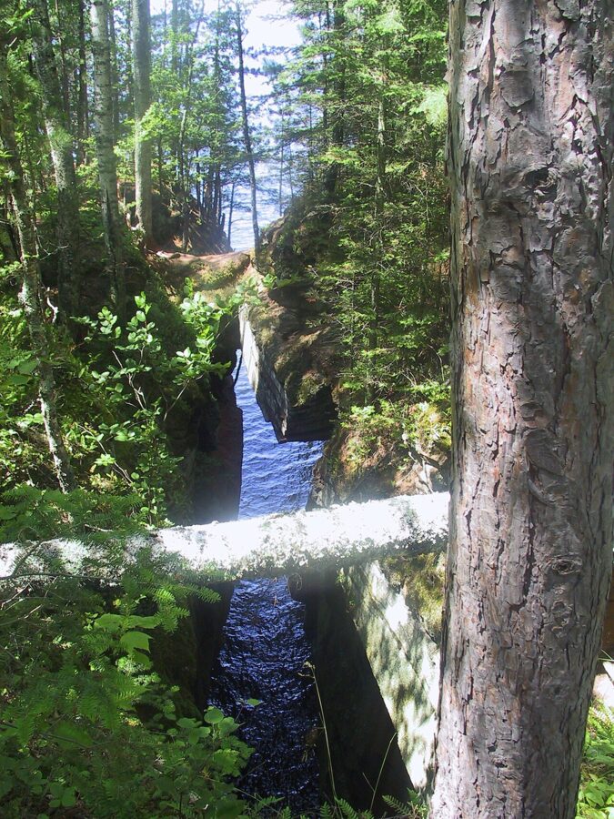
Most people turn back at the Crevasse, a 100-yard crack in the bedrock 1.8 miles out (3.6 miles round trip), or at the Bowl, a curve of cliffs with views over the caves 2.4 miles out (4.8 round trip). The edges are undercut; stay at least a body length back.

The ice caves: rare, and never guaranteed
In a cold, calm winter the lake freezes along the mainland shore and the sea caves fill with icicles and frozen waterfalls, and when the ice is safe you can walk out to them from Meyers Beach. It almost never happens. The park counts them open on only 2 percent of days between 2000 and 2023; after 2015, the next opening was for a single day, February 16, 2026, before a storm broke up the ice.
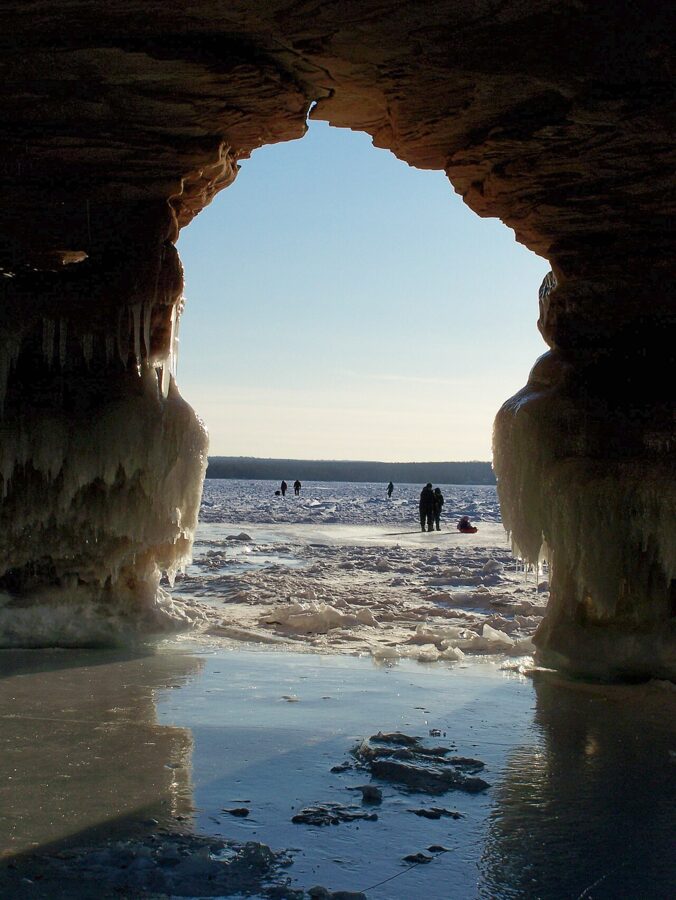
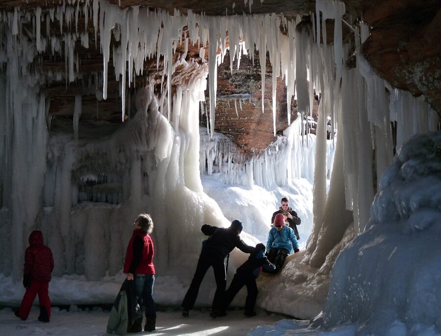
Check the park’s Ice Caves status page or its recorded ice line before driving out; if neither has been updated, the caves are closed. In most winters you see them from the Lakeshore Trail above, in snowshoes or spikes. The park closes the area when the wind chill reaches -40°F.
Madeline Island and the ferry
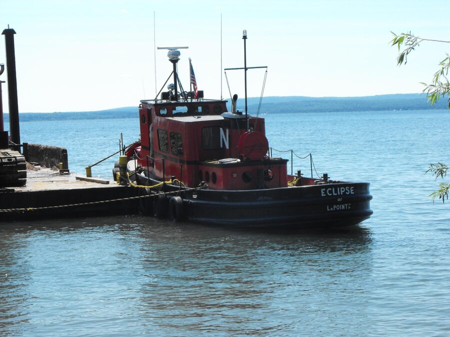
The Madeline Island Ferry Line crosses from the foot of Washington Avenue to La Pointe in about 25 minutes, with boats every half hour on summer days. There are no reservations for cars or foot passengers; buy tickets at the terminal and arrive about 20 minutes early. Fares as of November 2026, including a fuel surcharge added on August 5:
| Ticket | One way | Round trip |
|---|---|---|
| Passenger 12 and over | $11 | $22 |
| Passenger 6 to 11 | $5.50 | $11 |
| Child under 5 | Free | Free |
| Car under 19 feet (driver not included) | $20.50 | $41 |
| Bicycle | $5 | $10 |
Two adults with a car pay $85 round trip. The island is flat and good for cycling, and the museum is a block from the dock, so take the car only if you want to reach Big Bay without pedaling. The ferry takes cash, checks, Visa and Mastercard.
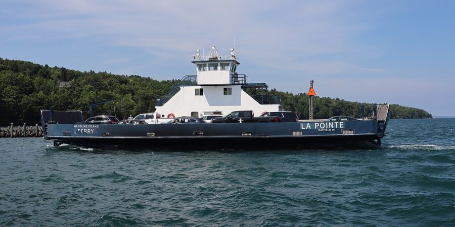

Boats keep running into winter until the ice is too thick. From November 30, 2026, until heavy ice, there are six to eight crossings a day each way, the first to the island at 9am (7am on weekdays) and the last back at 4:30pm.
What to see on Madeline Island
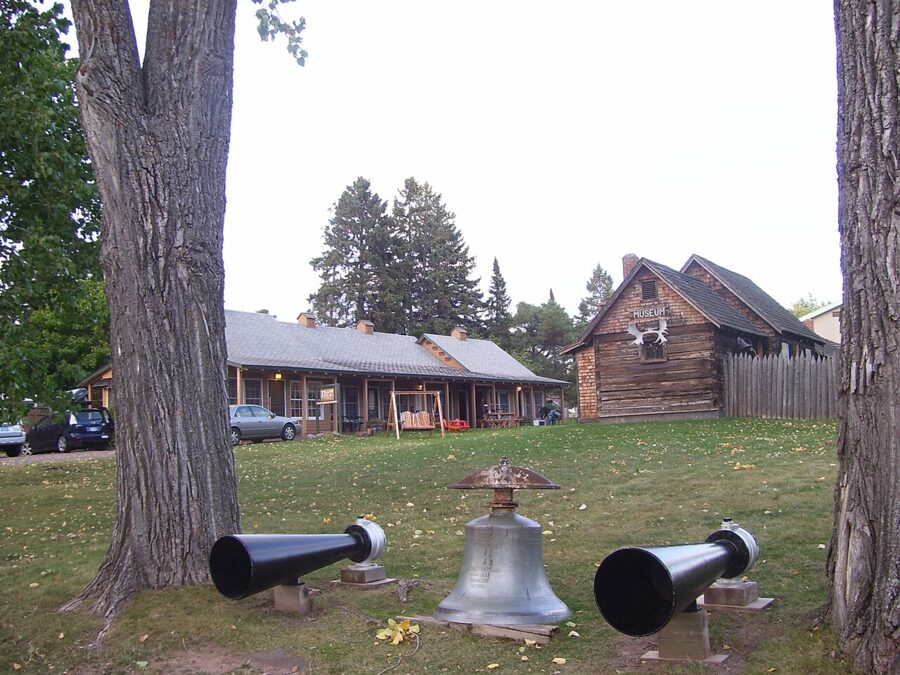
La Pointe, with about 420 year-round residents, was a French trading post in the 1690s and an American Fur Company post in the early 1800s. The Madeline Island Museum, run by the Wisconsin Historical Society a block from the dock, tells that story across four historic buildings, with a strong focus on the island’s Ojibwe people. In 2026 it opened May 23 to September 30, Wednesday to Sunday, 10am to 4pm (to 5pm in July and August); admission was $10 for adults, $8 for seniors and $5 for ages 5 to 12.

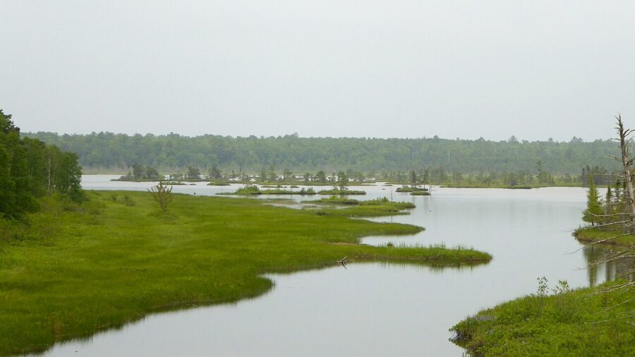
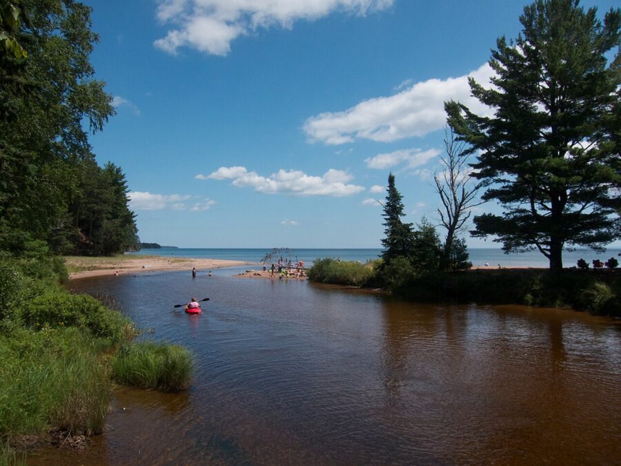
Big Bay State Park, on the island’s east side, has about 4 miles of shoreline with sandstone bluffs, a 1-mile boardwalk, a sand beach, trails and a large campground. It is open 6am to 11pm year-round and needs a state park vehicle pass: as of November 2026, $13 a day for Wisconsin plates and $16 for out-of-state plates. Next door, the town-run Big Bay Town Park has a beach on the same lagoon.


The ice road and the windsled
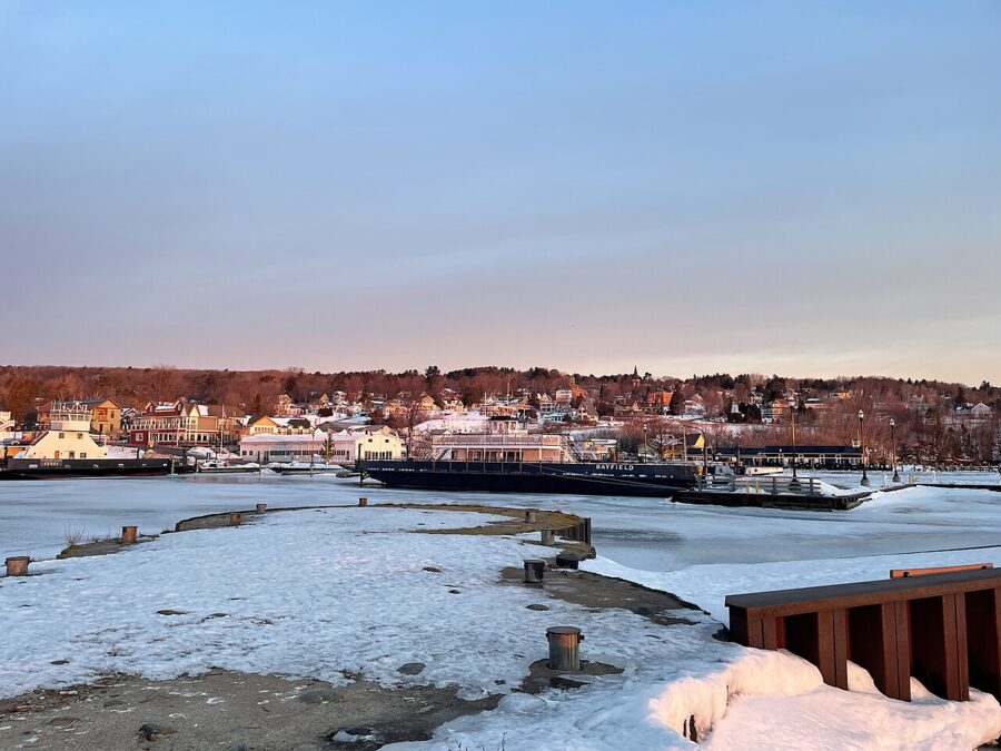
When the bay freezes hard enough, an ice road is marked out across the lake and island residents drive to Bayfield on Lake Superior itself. While ice is forming or breaking up, a propeller-driven windsled carries passengers instead. Both are lifelines for islanders, not attractions, and neither can be planned around: in February 2026 the ice road was shut because of cracks. Bayfield’s chamber asks visitors not to come expecting it to be open, and the ice road hotline gives the daily status.

The orchards and the Fruit Loop
The hills behind town are covered in orchards and berry farms, enough that the chamber calls Bayfield the Berry Capital of Wisconsin. The season runs from strawberries in early summer through raspberries and blueberries to apples in the fall.
Hauser’s Superior View Farm on County Highway J has been in one family since 1908; its barn store is open daily June through October, 10am to 5pm, and its Apfelhaus Cidery taproom pours hard cider from 1pm to 7pm daily in summer. Bayfield Apple Company sells apples, fruit butters, cider and a caramelized-cider sheep’s milk gelato. Other farms open through the 2026 season include Erickson’s Orchards, Rabideaux’s Bayfield Fruit Company, Sunset Valley Orchard and North Wind Organic Farm.
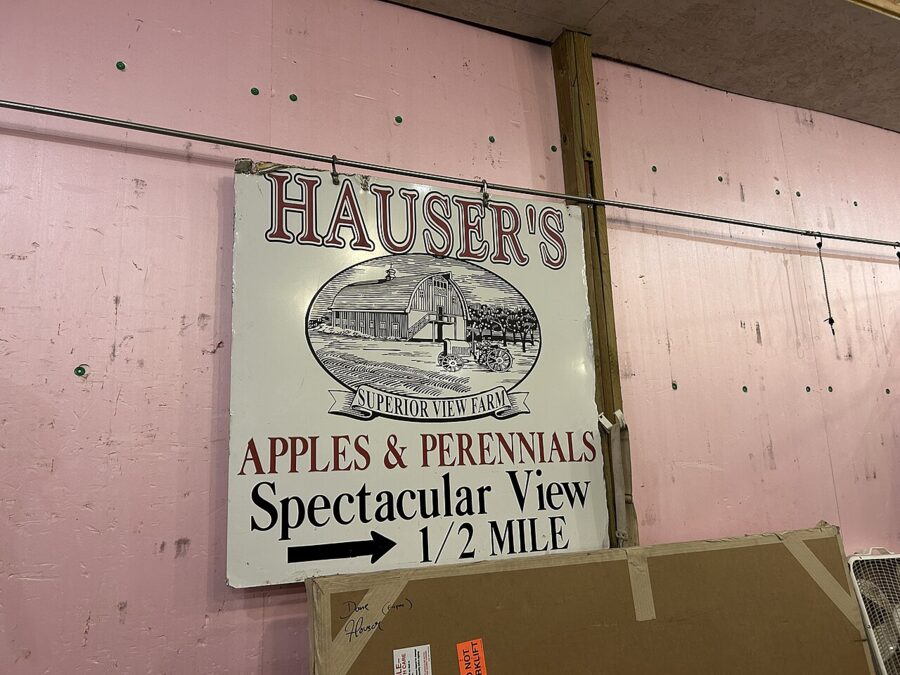
Most stands close by the end of October. The chamber’s weekly Berry Farm and Orchard Report lists each farm’s hours and what is ripe; check it the morning you go.
The Bayfield Apple Festival
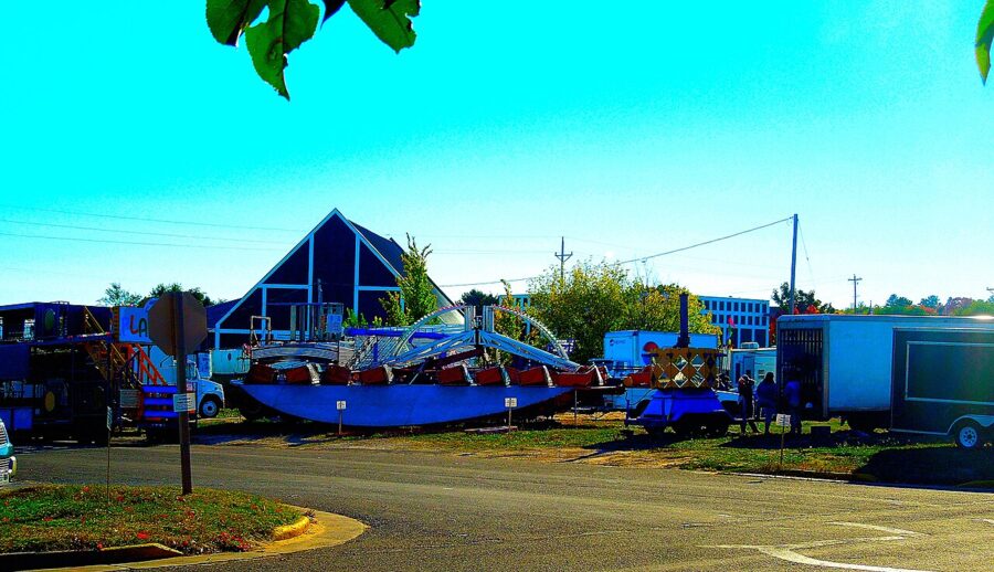
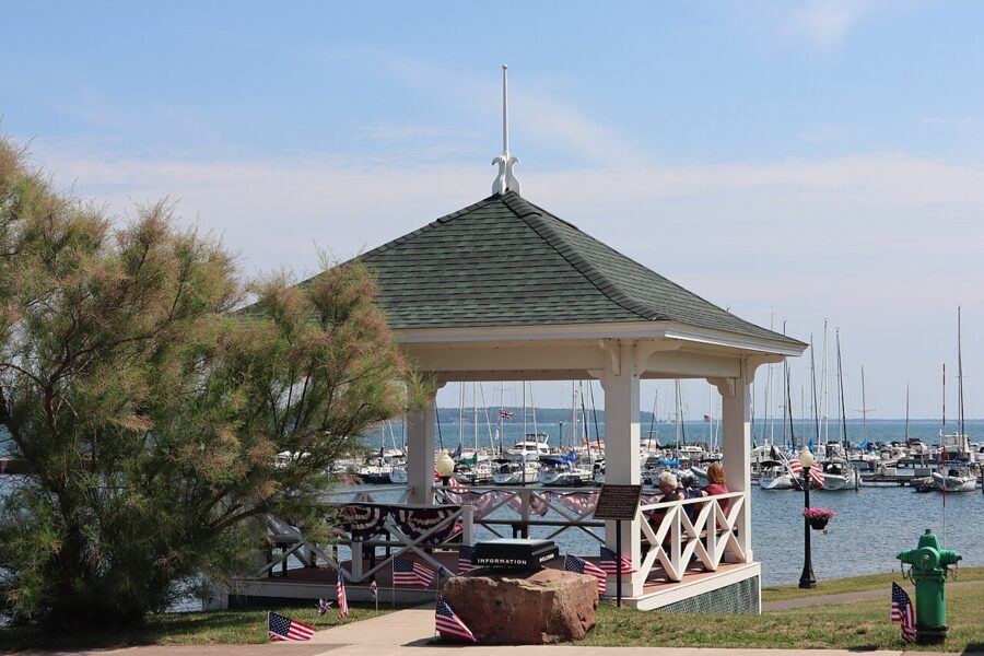
On the first weekend of October the town holds its biggest event: food and craft vendors, live music at the Memorial Park gazebo, a carnival, the crowning of the Apple Festival Queen and a Grand Parade down Rittenhouse Avenue on Sunday. The 2026 festival ran October 2 to 4, and the 2027 one is set for October 1 to 3. Book a room months ahead, or stay in Washburn or Ashland and drive in early.

Big Top Chautauqua: what happens now
For four decades the blue canvas tent at the foot of Mt. Ashwabay, just outside town, was Bayfield’s summer stage, with 900 seats and more than 60 shows a year between June and September; Johnny Cash, Willie Nelson and Brandi Carlile all played under it. In November 2026 the Ashwabay Alliance, the nonprofit that runs it, said it will not produce a 2027 season, and on November 10 its board voted to develop a wind-down plan.
The tent still stands and the board says it is open to a new group taking it on, so watch for news before planning a 2027 trip around it. Meanwhile, Concerts by the Lake in Memorial Park are free all summer.
Museums, parks and smaller stops
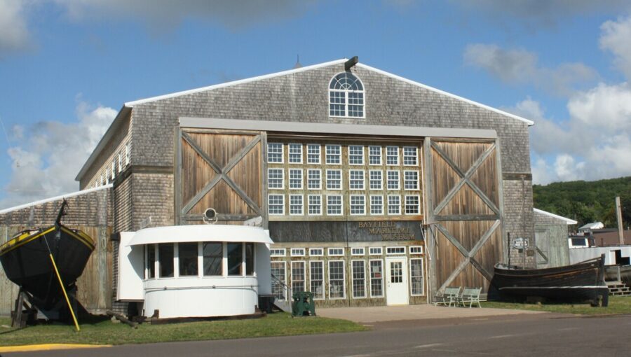
Bayfield Maritime Museum, 131 South First Street, covers the nautical history of the town and the islands and is run entirely by volunteers. Admission is free; in 2026 it was open daily, 10am to 5pm, from May 23 to September 21. Allow an hour.

Bayfield Heritage Center, 30 North Broad Street, covers the town’s fishing, lumber and brownstone history and opens from June through September, otherwise by appointment.
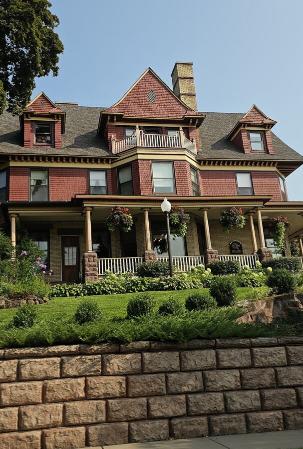
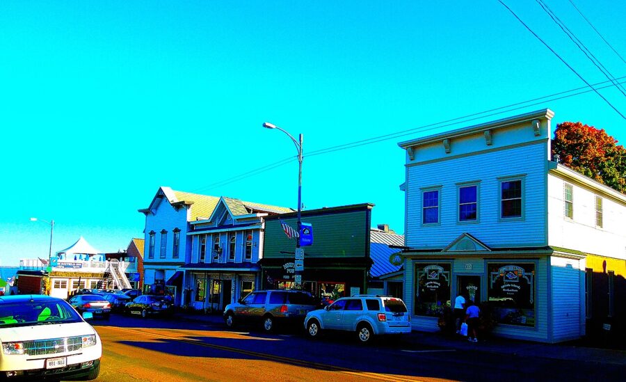
The historic downtown is worth an unhurried walk: the Old Rittenhouse Inn, a Victorian mansion at 301 Rittenhouse Avenue, the brownstone courthouse and the harbor pavilion of about 1913, built by the Women’s Civic League as a waiting room for boat passengers.


Big Ravine Trail runs through big cedars, hemlocks and pines inside the city. Follow Fourth Street uphill to the school, turn left on Sweeny Avenue and park at the baseball field; the trail starts behind the outfield fence.
Frog Bay Tribal National Park, four miles north on land owned by the Red Cliff Band of Lake Superior Chippewa, was the first tribal national park in the United States. A 1.7-mile trail crosses boreal forest and wetland to an undeveloped beach.
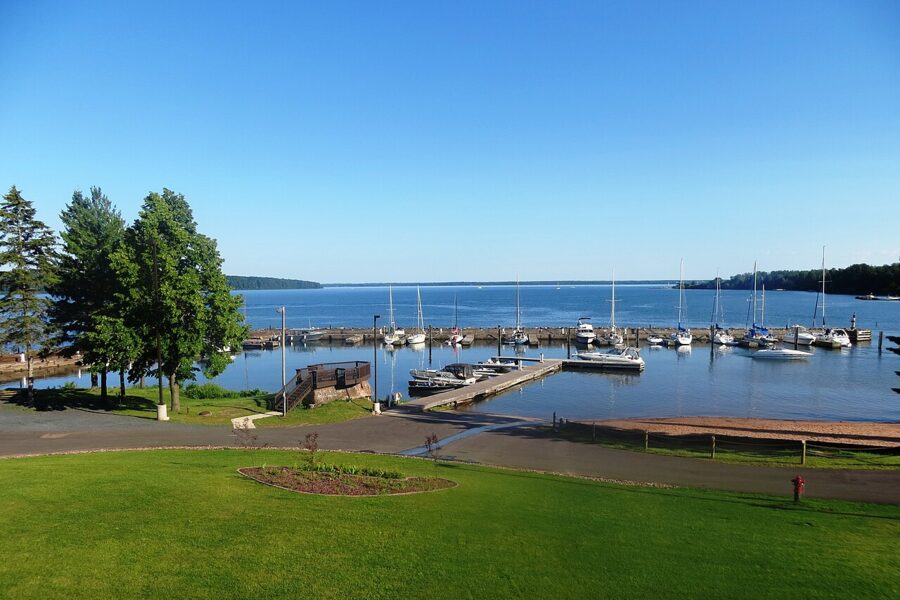

Houghton Falls Nature Preserve, about 9 miles south off Highway 13, is a short trail to sandstone cliffs, seasonal waterfalls and a rocky shore, open 6am to 6pm daily. Go after rain; in a dry summer the falls barely run.
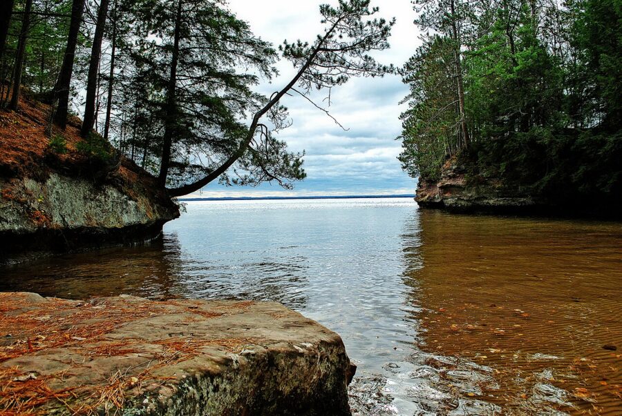

Stockton Island is the place for a day of island hiking, reached by the cruise line’s summer shuttle. Julian Bay’s sand squeaks underfoot, and a trail crosses the tombolo, a sand neck joining two parts of the island. Stockton has one of the densest black bear populations in North America, so follow the park’s food rules.
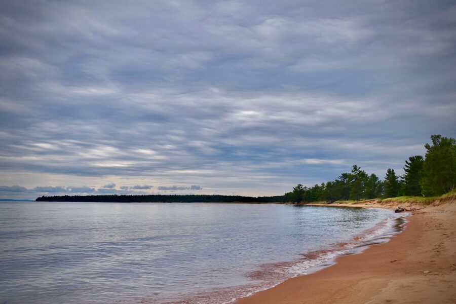
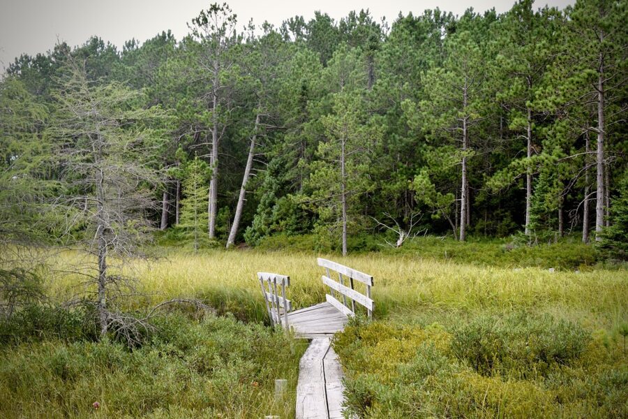
Mt. Ashwabay, the ski hill just outside town, has alpine runs and more than 40 kilometers of groomed Nordic trails in winter and mountain biking in summer. As of November 2026 it plans to run the 2026 to 2027 season, likely continuing under the foundation that owns the land, but a fundraising drive is paying for it and the season may be shortened if money or snow runs short.
Festivals and events by month
- January: Dark Sky, Star Bright, ten days of night-sky programs (January 15 to 24, 2027).
- February: the Summit Nordic Ski Race at Mt. Ashwabay (February 6, 2027).
- Late May to early June: Bayfield in Bloom, with garden tours and the Blessing of the Fleet (May 29 to June 6 in 2026).
- June to August: free Concerts by the Lake, Tuesdays and Thursdays, 6pm to 8pm, in Memorial Park (June 16 to August 27 in 2026).
- July 4: fireworks over the harbor at dusk, and a parade on Madeline Island.
- September: the Bayfield Festival of Arts (September 12 and 13, 2026), opening nine days of Art Escape studio events.
- October: the Apple Festival, then Family Fall Fest on Madeline Island on the third weekend.
- Late November and December: Hometown Holidays, with the tree lighting on November 28, 2026, and Santa arriving by ferry on December 19.
Where to eat and drink in Bayfield
Expect Lake Superior whitefish and trout, fruit from the farms above town and pub food. The places below had current menus, hours or 2026 seasons on their own sites. Many restaurants shorten hours or close between November and April, so call ahead off-season.
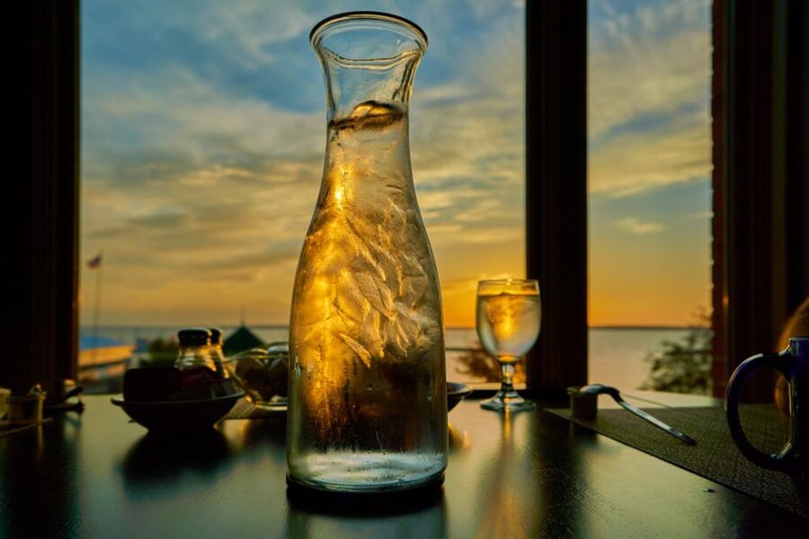
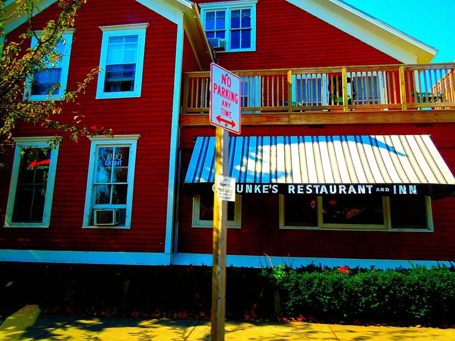
Greunke’s Restaurant at the First Street Inn serves breakfast, lunch and dinner in a room little changed since the 1940s, with a soda fountain counter and a working Wurlitzer. It holds Lake Superior fish boils through the summer.

Landmark Restaurant at the Old Rittenhouse Inn is the special-occasion dinner: made-from-scratch American and French cooking with Lake Superior fish, in a 62-seat Victorian dining room looking toward the lake. It takes non-guests, has no dress code and asks you to call for reservations.
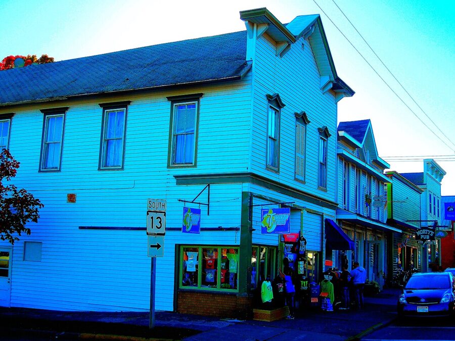
Morty’s Pub on Rittenhouse Avenue is the local bar with food: one-third-pound burgers, fried Lake Superior whitefish and about 85 beers and ciders, 14 on tap. It posts hours of 11am to midnight Sunday to Thursday and to 2am on Friday and Saturday.

For something stronger than beer, the Apfelhaus Cidery taproom at Hauser’s farm pours hard cider on summer afternoons, and Copper Crow Distillery has a tasting room for its bourbon, wheat whiskey and whey vodka, and it is Indigenous-owned. Check its hours before driving out.
When to go and how long to stay
Summer (June to August) is the main season: every boat runs, the museums are open and rooms are hardest to find. The park puts average highs near 60°F in May and in the mid-60s in September, and the lake stays cold enough that most people only wade. Biting insects peak in late spring and early summer.
September and early October are the best compromise, with fewer people, apples and fall color while the Grand Tour still runs. Winter brings about 99 inches of snow; boats and museums close, but there is skiing at Mt. Ashwabay and snowshoeing on the Lakeshore Trail.
Two days is the minimum: one for the islands and one for Madeline Island and the orchards. A third day covers you when wind cancels a boat or kayak trip.
A simple one-day plan
Stop at the visitor center for the marine forecast, then take the morning Grand Tour. In the afternoon walk on to the Madeline Island ferry, spend two or three hours at the museum (closed Monday and Tuesday) and around La Pointe, and ride back for dinner in Bayfield.
Adding a second day
Book an early guided kayak trip to the Meyers Beach caves, or walk the Lakeshore Trail to the Bowl if the lake is rough. On the way back, drive the orchard roads for cider and fruit, then finish at the Maritime Museum or on the Big Ravine Trail.
Getting around and practical notes
You need a car for Meyers Beach, the orchards, Mt. Ashwabay and Houghton Falls; downtown Bayfield and La Pointe are walkable.
Parking downtown is in paid city lots at Manypenny Avenue and First Street, at Washington Avenue and Broad Street, and at the Bodin Fish House lot on Wilson and Second streets. As of 2026 rates ran from $3 for two hours to about $8 to $10 for the day.
The local bus. Bay Area Rural Transit runs weekday buses from the Bad River Reservation through Ashland, Washburn and Bayfield to Red Cliff, between 5:30am and 8pm at roughly two-hour intervals. It does not serve the trailheads.
Lake safety. The park advises against any travel on the lake during small craft advisories or gale warnings, and phone signal is unreliable on the water, where help can be 30 minutes or more away. Leave a float plan with someone on shore.
Camping in the lakeshore needs a permit booked through Recreation.gov: $15 a night for an individual site plus a $10 reservation fee per trip, as of 2026. There is no drive-up camping in the national lakeshore.
One last tip: check the nearshore marine forecast the night before. If it calls for a north or northeast wind, do the orchards and Madeline Island that day and save the caves for the calm one.