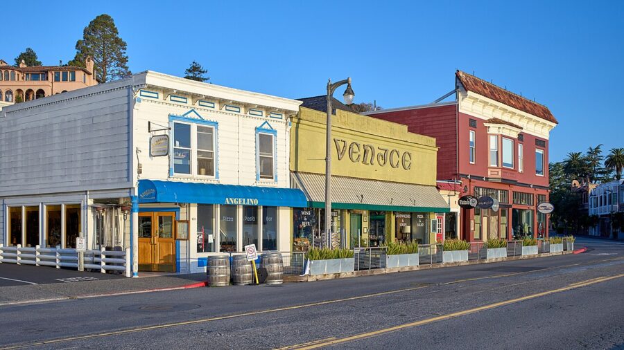
The best things to do in Sausalito, California, are mostly free and mostly outdoors: walk the waterfront along Bridgeway, wander the houseboat docks at the north end of town, spend an hour inside the Army Corps of Engineers’ giant Bay Model, and drive a few minutes up into the Marin Headlands for the view back across the Golden Gate. Give it one full day if you come by ferry, or two if you have a car and want Muir Woods, Point Bonita and Rodeo Beach as well.
Sausalito (population 7,269 at the 2020 census) sits on the Marin County side of the Golden Gate Bridge, and on a sunny weekend afternoon it can feel as if half of San Francisco came over with you. Timing fixes that. Arrive before 11am or stay past 5pm and you can hear halyards slapping against the masts in the yacht harbor.

On this page
Sausalito in brief: where it is and how to get there
Sausalito sits on the eastern shore of the Marin Peninsula, about eight miles north of downtown San Francisco and immediately north of the bridge. It is long and thin: a strip of flat land along the water with houses stacked up the steep hill behind. The name comes from the Spanish saucelito, “little willow”.
It began as a ferry and railroad town, became a shipyard in World War II and then a home for artists, sailors and people who preferred to live on the water. That history explains most of what you see: the ferry landing downtown, the Marinship warehouses at the north end and the houseboats beside them.
The ferry from San Francisco
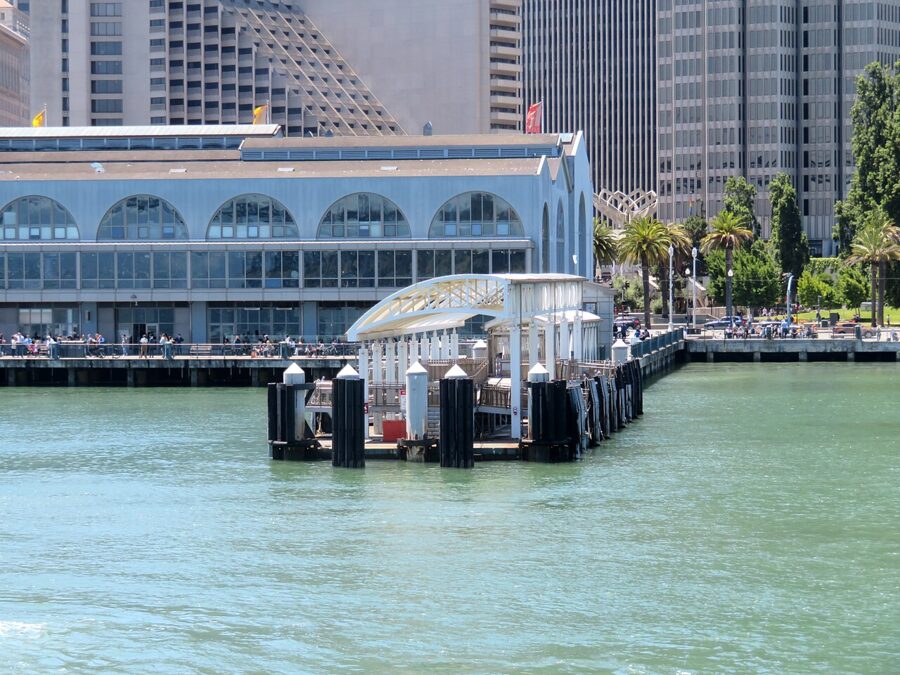
The ferry is the best way to arrive, and the crossing is half the point. Golden Gate Ferry runs from the San Francisco Ferry Building (Gates B and C, behind the building at the foot of Market Street) to the Sausalito terminal at Humboldt and Anchor streets, in the middle of downtown. The trip takes about 30 minutes, with Alcatraz and Angel Island off the bow and the Golden Gate Bridge to your left.

Under the timetable in effect from April 13, 2026, an adult one-way fare is $14.00 on a paper ticket or $8.50 with a Clipper card or a contactless bank card tapped at the gate. Youth (5 to 18), seniors (65 and over) and riders with disability or Medicare cards pay $7.00; children 4 and under ride free, two per paying adult. Bikes and e-bikes under 50 pounds can come aboard, first come, first served.
Weekend and holiday service is thin: five round trips a day under that schedule, with the last boat leaving Sausalito just before 7pm. Weekdays have more sailings, built around commuters. There is no service on Thanksgiving, Christmas or New Year’s Day, and the operator warns that very high tides can suspend sailings, so check its alerts in winter.
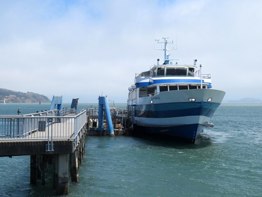

The other route, Blue & Gold Fleet’s ferry from Pier 41 at Fisherman’s Wharf, was suspended in May 2026 while PG&E cleaned up sediment at Pier 41 and the company rebuilt its docks and re-engined its Sausalito boat. As of November 2026 no restart date had been announced, so plan on the Ferry Building route.
Driving over the Golden Gate Bridge
From downtown San Francisco, Sausalito is 20 to 30 minutes by car outside rush hour: cross the bridge on US 101 north and take the Alexander Avenue exit, which drops you past Fort Baker into the south end of town. Golden Gate Vista Point, right at the north end of the bridge, is the obvious photo stop, but its small lot is jammed at midday. The toll is charged only southbound, back into San Francisco, and there are no cash booths.
Since July 1, 2026, the toll for a two-axle car is $10.25 with a FasTrak account, $10.50 with a license plate account or a one-time online payment, and $11.25 if you wait for the invoice. Rental companies usually bill it back with a fee on top, so check your rental’s toll program first.
Airports, buses and bikes
The nearest major airport is San Francisco International (SFO), about 25 miles south: 35 to 45 minutes without traffic, well over an hour at evening rush. Oakland International is a similar distance across the Bay Bridge. From Sacramento allow about two hours; from Napa, about an hour.
Golden Gate Transit’s Route 120 replaced Routes 130 and 150 in April 2026 and runs every 30 to 60 minutes between Strawberry Village and San Francisco via Sausalito. It is slower than the ferry but keeps running after the last boat. Cycling from Fisherman’s Wharf over the bridge to Sausalito is about eight miles; most riders take the ferry back, so bike lines at the terminal get long on sunny weekend afternoons.
The main things to do in Sausalito
| Place | Hours (as of November 2026) | Price | Allow |
|---|---|---|---|
| Bridgeway waterfront | Always open | Free | 1 to 2 hours |
| Houseboat docks (Waldo Point, Galilee Harbor) | Daylight; residents’ docks | Free | 1 hour |
| Bay Model Visitor Center | Tuesday to Friday 9am to 3pm, Saturday 9am to 4pm; closed Sunday, Monday, federal holidays | Free | 1 to 1.5 hours |
| Heath Ceramics showroom | Daily 10am to 5pm; factory tours by advance RSVP | Free to browse | 45 minutes |
| Bay Area Discovery Museum | Wednesday to Sunday 10am to 4pm | $25 adults and children, $23 seniors, under 1 free | 3 hours |
| Muir Woods National Monument | Daily from 8am to about sunset | $15 (16 and over) plus a parking or shuttle reservation | 2 hours plus the drive |
Walk Bridgeway and the downtown waterfront
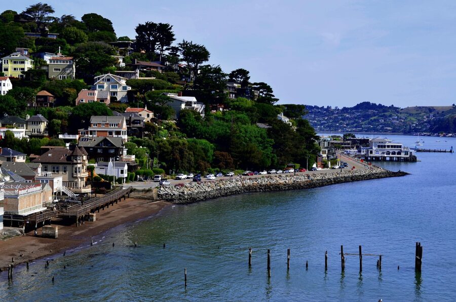
Start at the ferry landing and walk south along Bridgeway on the bay side. The seawall runs past benches and boulders with San Francisco, Alcatraz and the Bay Bridge laid out in front of you, and on a clear morning the view is sharper from here than from most of the city. Out on the rocks sits the sea lion sculpture that has become the town’s unofficial mascot.
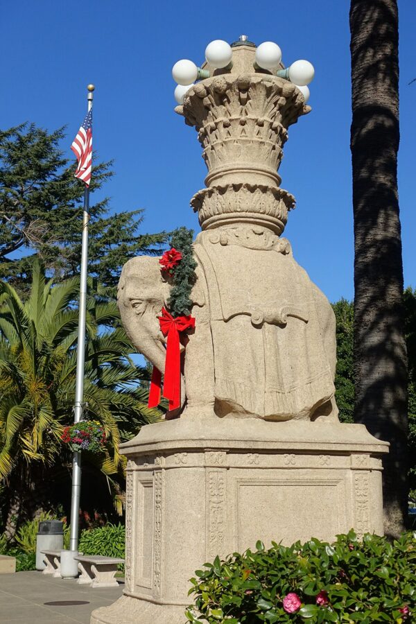
Beside the ferry terminal, Viña del Mar Park is the town square: a fountain, palms and two elephant statues on tall columns. The elephants were made for the 1915 Panama-Pacific International Exposition in San Francisco and later moved here; the park is named for Sausalito’s sister city in Chile.
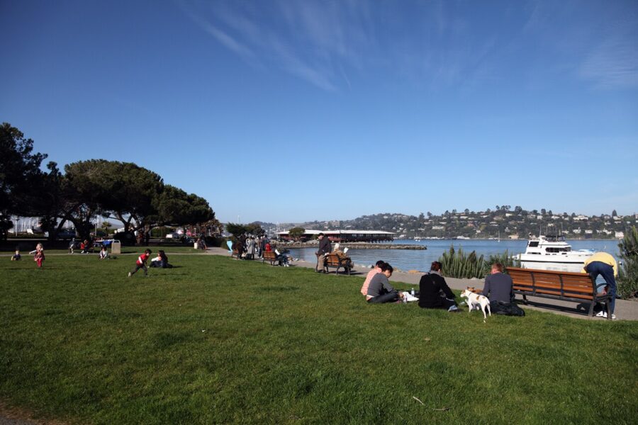
Just north, Gabrielson Memorial Park is a small lawn on the water with the best sunset seats downtown. On summer Friday evenings it hosts Jazz and Blues by the Bay, the city’s free concert series; in 2026 it ran from June 5 to September 25, 6:30pm to 8pm through August and 6pm to 7:30pm in September. Lawn space is first come, first served.

Bridgeway itself is galleries, clothing shops and ice cream. Browse, but do not expect bargains; the galleries are the better use of your time.
See the houseboats
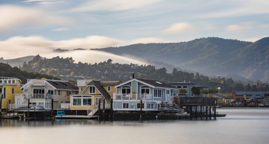
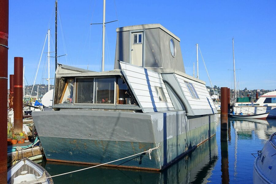
Sausalito’s floating homes are what most people remember. Several hundred line the docks of Richardson Bay at the north end of town, many first built in the 1950s and 1960s from war-surplus barges, landing craft and anything else that floated. Some are now polished architect-designed homes; others are still salvaged and hand-built. The mix is the point.
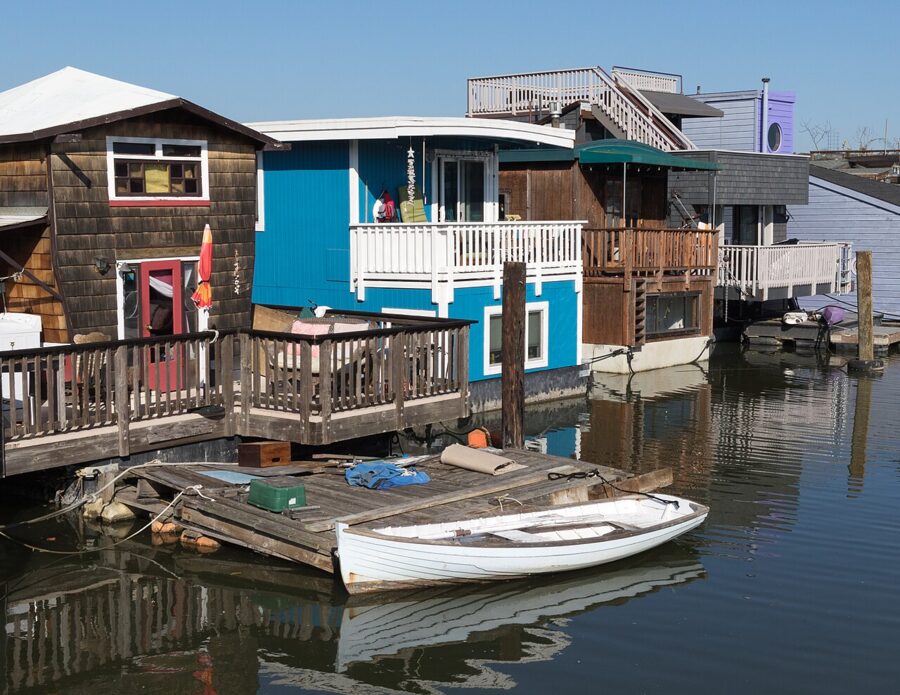

The main cluster is Waldo Point Harbor, reached from Gate 5 and Gate 6 roads off Bridgeway, about two to two and a half miles from the ferry. Galilee Harbor, a smaller community of older working boats and live-aboards, sits closer to the Bay Model. The docks are private homes with public access by custom rather than right, so treat them like a residential street: no drones, no peering through windows, dogs on a short leash.
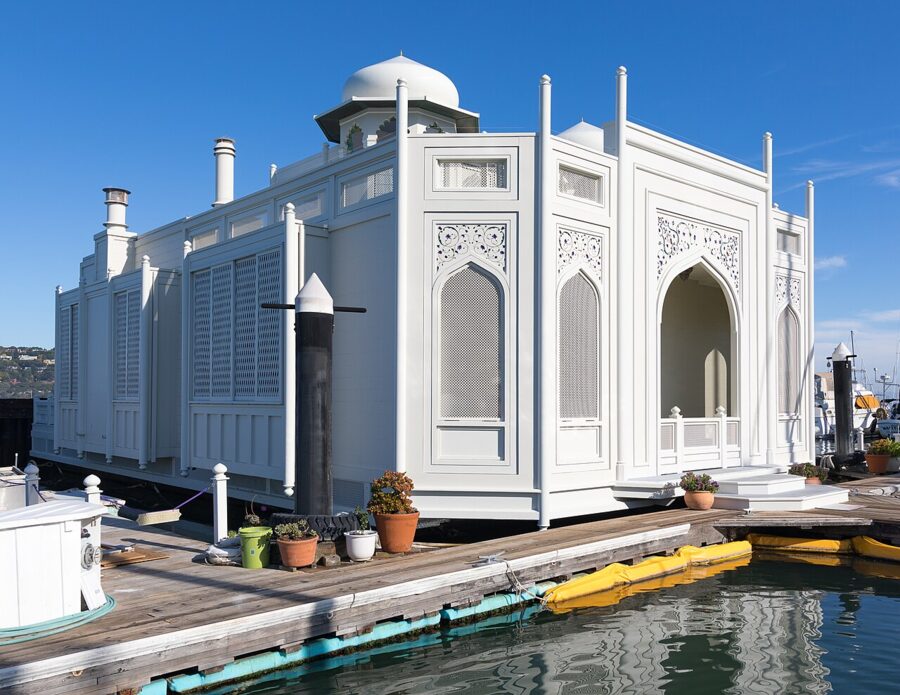
Look for the white, domed “Taj Mahal”, one of the most photographed floating homes, and the bright mailboxes at dock entrances. Otis Redding wrote much of “(Sittin’ On) The Dock of the Bay” in 1967 while staying on a Sausalito houseboat, which is the usual answer to the question of which famous person lived here.

The Floating Homes Association has run a public tour of the docks, usually on a Saturday in September, and it is the only way to see inside. No 2026 date had been announced as of November 2026, so check with the association if you are visiting in late summer.
The Bay Model Visitor Center
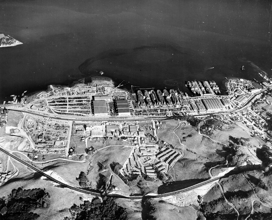
This is the most unusual thing in Sausalito and the most underrated. Inside a wartime Marinship warehouse at 2100 Bridgeway, the U.S. Army Corps of Engineers built a working hydraulic model of San Francisco Bay and the Sacramento-San Joaquin Delta in the 1950s, about an acre and a half of it, with pumps that pushed simulated tides through every channel. Engineers used it to test proposals to dam the bay, and the results helped kill them.
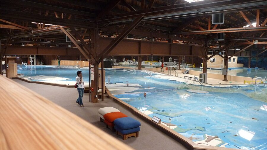

The model was retired from research once computer models took over, but the Corps keeps it open free with exhibits on the bay’s ecology and on Marinship, the emergency shipyard that built 93 Liberty ships and tankers here from 1942 to 1945. Marin County’s tourism office lists hours of Tuesday to Friday 9am to 3pm and Saturday 9am to 4pm, closed Sundays, Mondays and federal holidays. If you came only for views and lunch, skip it; if you have ever wondered how the tides move around the bay, it is the best free hour in Marin.
Get out on the water
Sea Trek, based at the Bay Model building, rents kayaks and stand-up paddleboards and runs guided paddles on Richardson Bay, which is far calmer than the open bay. Its winter hours, as of November 2026, are Tuesday to Sunday 9am to 4pm through December 31, then Wednesday to Sunday until the end of March. Book ahead on summer weekends.
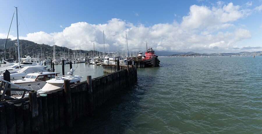

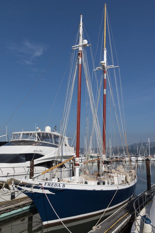
Several outfits run charters and sunset sails from the yacht harbor, including the schooner Freda B. Out past the harbor mouth the wind is cold even on a hot day, so bring a real jacket.

Heath Ceramics and the Marinship
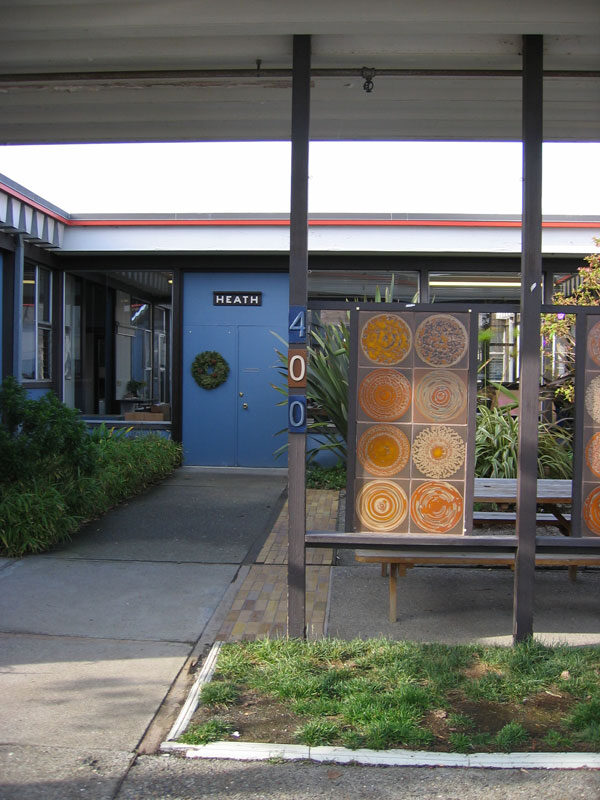
Heath Ceramics has made its dinnerware in the same low factory at 400 Gate Five Road since 1959. The showroom is open daily 10am to 5pm and sells seconds, discontinued pieces and prototypes at a discount, and the Overstock Tile Shed next door is open daily 10am to 4pm. Factory tours need an advance RSVP on Heath’s site.

The streets around it, Harbor Drive and Liberty Ship Way, are the old shipyard: boatbuilders, artists’ studios, sail lofts and a few good lunch spots in industrial buildings. It is the least polished part of Sausalito and the most interesting to walk.
Climb the stairs into the hills
Public stairways link the switchback streets on the hillside, and climbing one and coming down another is free, quiet and the best exercise in town. Start with the steps off Bridgeway downtown, such as Excelsior Lane, and work up toward Central Avenue and the Sausalito Woman’s Club. Some flights are steep and uneven, so wear proper shoes.
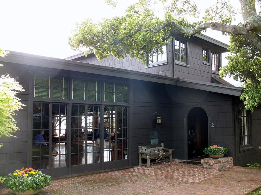

Fort Baker, the Marin Headlands and Muir Woods
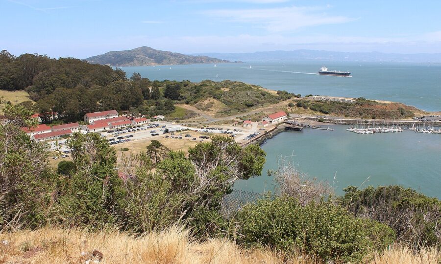
The reason to bring a car is what lies just outside town. Fort Baker and the Marin Headlands are part of the Golden Gate National Recreation Area and start less than a mile from the south end of Sausalito. Muir Woods is about 30 minutes north.
Fort Baker and the Bay Area Discovery Museum
Fort Baker is a former army post on Horseshoe Bay, tucked under the north end of the bridge. Its parade ground and officers’ houses are now Cavallo Point, a lodge whose restaurant, Sula, is open daily for breakfast, lunch and dinner. The grounds and the fishing pier are free to walk, and the view of the bridge from below is nothing like the one from the city side.
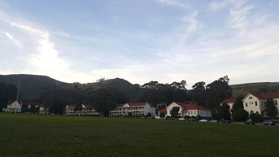

The Bay Area Discovery Museum, also at Fort Baker (557 McReynolds Road), is built for children up to about eight, with indoor and outdoor play spaces and a fishing boat to climb. As of November 2026 it opens Wednesday to Sunday 10am to 4pm; admission is $25 for adults and children, $23 for seniors and free under one, and parking is free. With young kids it justifies the trip on its own; without them, skip it.

Battery Spencer and Hawk Hill
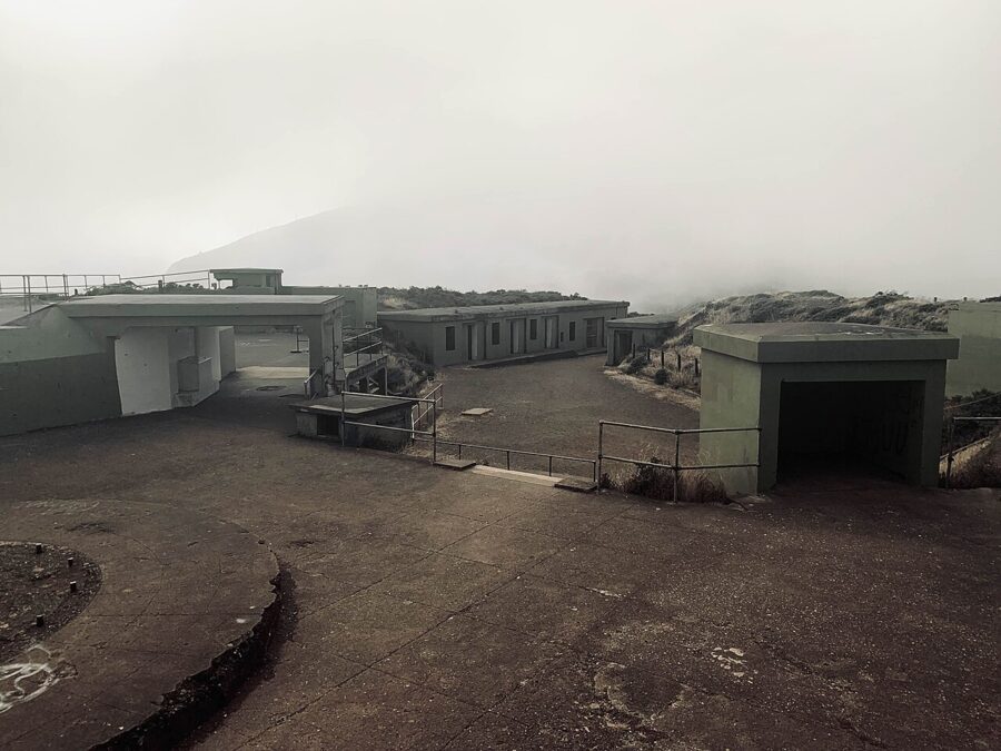
From Alexander Avenue, Conzelman Road climbs to Battery Spencer, an 1890s concrete gun battery with the classic close-up view of the bridge towers. The parking area is small and fills by mid-morning on weekends. On a foggy day you may see nothing at all.

Higher up, Hawk Hill is the top of Conzelman Road and, from late summer through fall, one of the best places in the West to watch migrating hawks and falcons funnel over the Golden Gate. Past it the road turns one-way and drops steeply toward Point Bonita and Rodeo Beach.
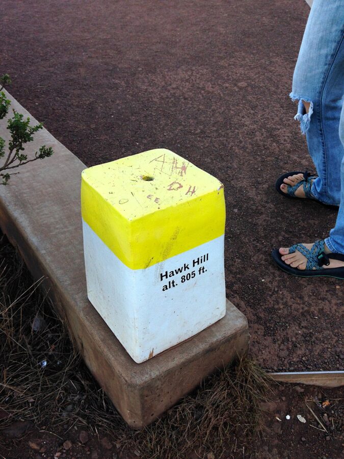

Point Bonita Lighthouse
Point Bonita is the lighthouse at the tip of the headlands, reached by a steep half-mile trail and a hand-dug tunnel. Access is now very limited. According to the National Park Service’s April 2026 update, the trail down to the viewing platform opens only on the third Saturday of each month from 12:30pm to 3:30pm, and the suspension bridge to the lighthouse is closed until further notice.
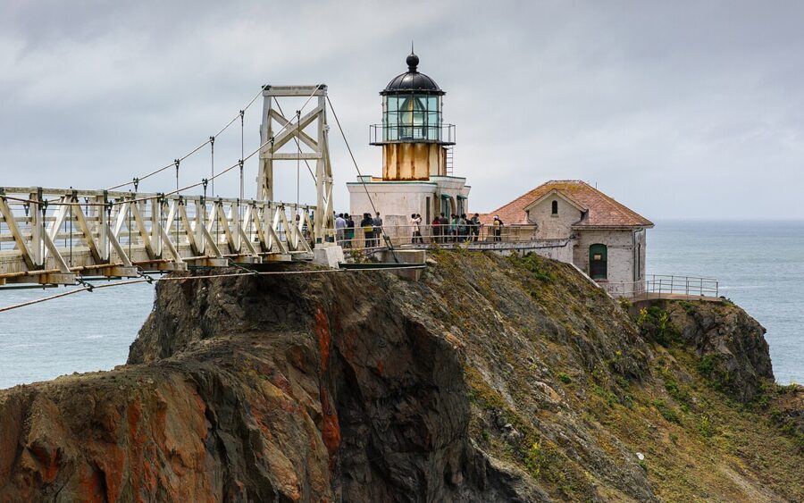

The remaining 2026 open dates listed by the Golden Gate National Parks Conservancy are November 21 and December 19. If your trip misses them, the views from the upper trail and the road are still very good.
Rodeo Beach and the Marine Mammal Center
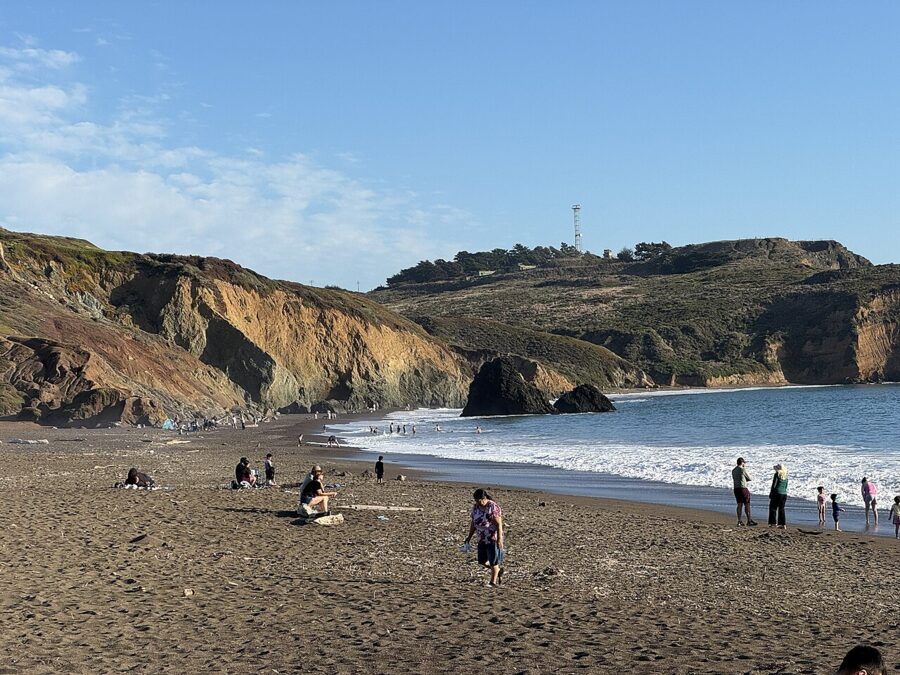
Rodeo Beach is a short, dark, coarse-sand beach at the end of Bunker Road, with a lagoon behind it and Bird Island offshore. It is good for a walk, a picnic or watching surfers, not for swimming: the water is cold, the currents are strong and there are no lifeguards. Parking is free.

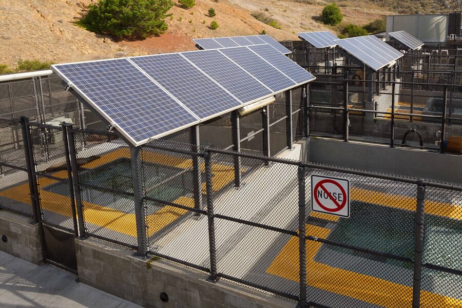
A few minutes inland, The Marine Mammal Center is a working hospital for sick and injured seals and sea lions, one of the largest of its kind. Entry to the visitor area is free but needs an advance online reservation, and it opens to the public on a limited weekly schedule; guided tours cost extra. Check its site for current days before planning around it.

Muir Woods National Monument
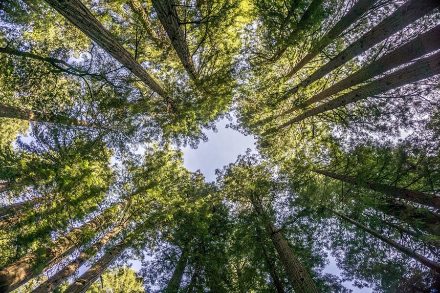
Muir Woods is the old-growth coast redwood grove most visitors to San Francisco want to see, and Sausalito is the natural base for it: about 11 miles north via US 101 and the narrow, winding Panoramic Highway or Muir Woods Road. Allow 30 minutes each way and at least 90 minutes on the trails.
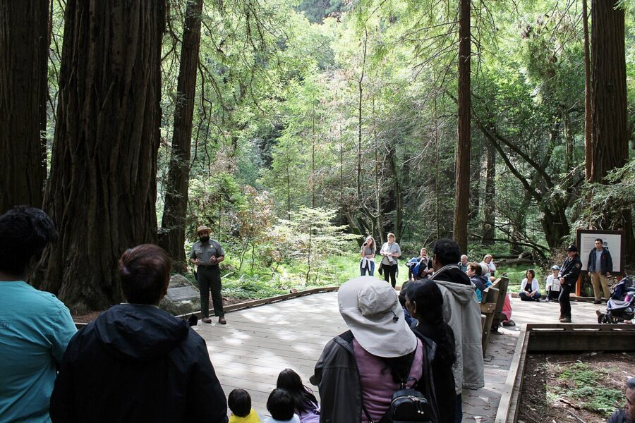

You cannot simply turn up. The Park Service requires a reservation for every vehicle and every shuttle rider. As of November 2026 parking costs $10 for a standard vehicle and the shuttle (when it runs) $4 round trip for anyone 16 and over, on top of the $15 entrance fee for visitors 16 and over; America the Beautiful passes are accepted. The park opens at 8am every day of the year and closes at about sunset.
Smaller and local things to do
The Sausalito Historical Society keeps a small museum and visitor center in the Ice House at 780 Bridgeway, with photographs and objects from the ferry and railroad era and from Marinship. Its posted hours are Wednesday to Sunday, 11am to 4pm, but the building has had long closures in recent years, so treat it as a bonus rather than a plan.
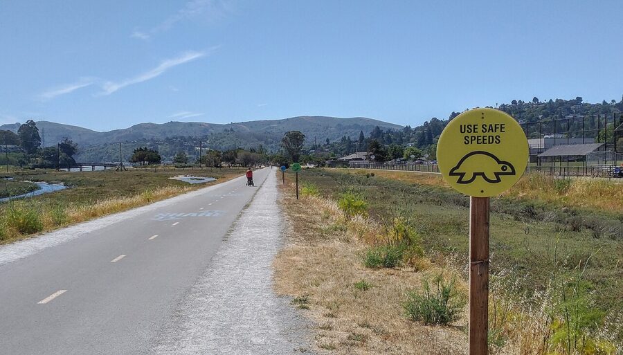
The Sausalito Farmers’ Market runs on Sundays in the Dunphy Park lot at 1600 Bridgeway; Marin County’s market listing gives 9am to 2pm. Dunphy Park has a small sandy beach, grass and a launch spot for paddleboards, and it is quieter than the downtown waterfront. North of town, the flat Mill Valley-Sausalito path follows the marsh edge and makes an easy walk or bike ride.
Festivals and events by month
| When | Event | Where |
|---|---|---|
| Every Sunday | Sausalito Farmers’ Market | Dunphy Park lot, 1600 Bridgeway |
| Fourth Saturday, monthly | Art and Harbor Days (local artists’ market) | Downtown waterfront and ferry landing plaza |
| Late March to early April | Herring Festival | Waterfront |
| June to September, Fridays | Jazz and Blues by the Bay (free) | Gabrielson Park |
| July 4 | Parade, picnic and fireworks | Downtown |
| Early August | Maritime Day | Galilee Harbor |
| September (some years) | Floating Homes Tour | Richardson Bay docks |
| Early to mid October | Fleet Week air shows, visible over the bay | Waterfront |
| December 12, 2026 | Winterfest lighted boat parade and fireworks | Off Gabrielson Park |
The lighted boat parade is the town’s biggest night. Viewing from shore is free, reserved seating and an after-party are ticketed, and every downtown parking space is gone by late afternoon. One famous name is missing from the table: the Sausalito Art Festival, held over Labor Day weekend for decades, has not taken place in recent years, so do not plan around it unless its organizers announce a return.
Where to eat and drink in Sausalito
Waterfront tables cost more, and the food is not always better than a block inland. Every place below was trading in late 2026; check hours before you go, since several close early on weekdays.
Breakfast and lunch
- Fred’s Coffee Shop (1917 Bridgeway): a breakfast-and-lunch diner at the north end of town, known for French toast and Swedish pancakes. Expect a weekend line; it closes in the early afternoon.
- Sausalito Bakery & Cafe (571 Bridgeway): pastries, breakfast sandwiches and coffee a short walk from the ferry.
- Fish. (350 Harbor Drive): sustainable seafood at outdoor tables by the harbor at the Marinship end of town. Busy at weekend lunch, so go early.
- Le Garage (85 Liberty Ship Way): a French bistro in a former garage, with tables out on the docks.
- Bar Bocce (1250 Bridgeway): wood-fired pizza, a fire pit, a bocce court and a strip of sand on the water. One of the easiest places in town for families.
Dinner
- Sushi Ran (107 Caledonia Street): serious sushi and a long sake list, and the place residents send visitors. Book ahead.
- Poggio Trattoria (777 Bridgeway): Northern Italian with a menu that changes daily and seasonal specials, such as a white truffle menu in November.
- Barrel House Tavern (660 Bridgeway): Californian food beside the ferry landing, open daily 11am to 9pm, with weekday happy hour and window seats facing the city.
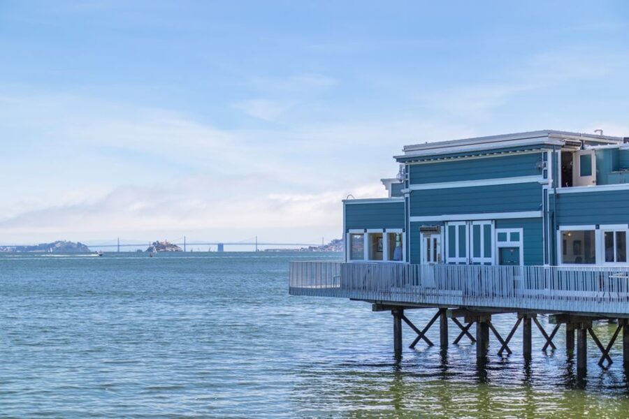
- Scoma’s Sausalito (588 Bridgeway): classic seafood in a building on pilings over the bay.
- Copita: Mexican food and a long tequila list on Bridgeway downtown.
- Sula at Cavallo Point: the lodge restaurant at Fort Baker, with the most dramatic setting in the area, right below the bridge.
Drinks
The No Name Bar at 757 Bridgeway has poured since 1959 and has live music on many nights; it is where to end the evening if you stay over. Cultivar, a wine bar and restaurant at 690 Bridgeway under the old Hotel Sausalito, is one of the newest openings on the waterfront. The Trident at 558 Bridgeway closed for good on December 31, 2025, so ignore older guides that send you there.

When to go, and how long to stay
September and October are the best months: the warmest, clearest weather of the year on this part of the bay, with the summer crowds gone and the fog mostly retreated. Spring is green, often windy and pleasant. Summer is busy and frequently foggy; downtown often sits in sunshine while the headlands and the bridge vanish into a gray wall.
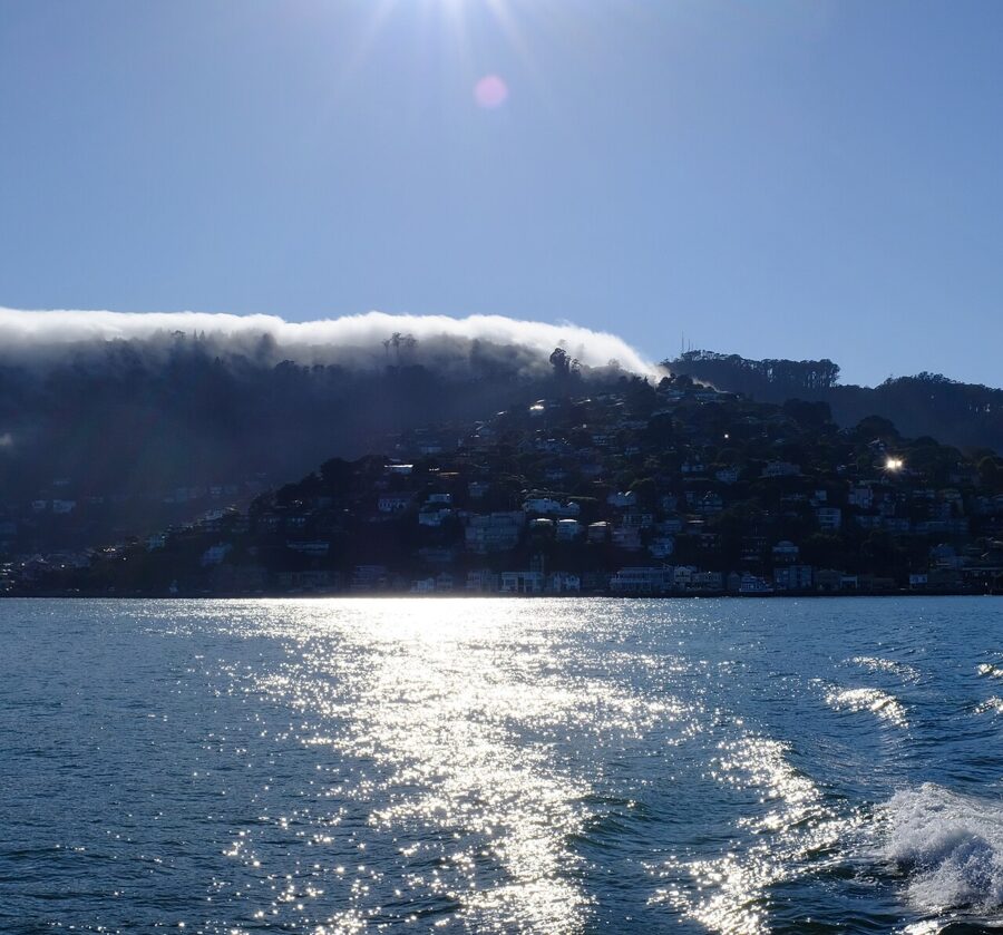

Winter, from November to March, brings most of the rain, quieter streets and lower parking rates. It is also the season of king tides, which can flood low streets around the Marinship and Gate Five Road and occasionally interrupt ferry service. For crowds the pattern is simple: day-trippers arrive on late-morning boats and leave by early evening, so weekend afternoons are by far the busiest.
How many days?
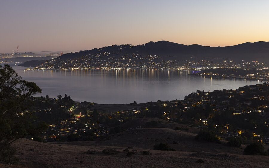
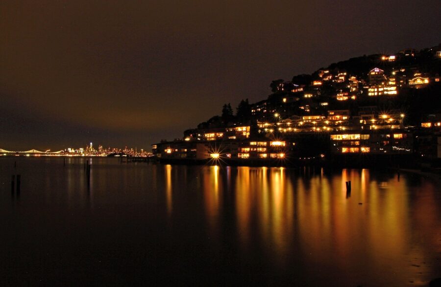
One day covers downtown, the houseboats and the Bay Model, which is why most people come on a day trip from San Francisco. Two days adds the Marin Headlands and Muir Woods without rushing, and staying overnight gives you the evening, when the town empties out and the city lights come up across the water.
A one-day plan without a car
- Take a morning Golden Gate Ferry from the Ferry Building. Coffee at Sausalito Bakery, then walk south along Bridgeway to the sea lion sculpture and back.
- Climb the hillside stairs for the view over the yacht harbor.
- Walk or take the bus north to the Bay Model (closed Sunday and Monday), then lunch at Fish or Le Garage.
- Continue to Heath Ceramics, Galilee Harbor and the Waldo Point docks.
- Head back to Gabrielson Park for the late light and an early evening ferry; on weekends the last boat leaves just before 7pm.
A second day with a car
- Start at Muir Woods with an early parking reservation.
- Drive back through Mill Valley to the Marin Headlands: Rodeo Beach, then The Marine Mammal Center if you have booked it.
- Late afternoon up Conzelman Road to Hawk Hill and Battery Spencer for the bridge.
- Dinner on Caledonia Street or at Sula.
With a third day, Highway 1 continues north past Stinson Beach and Point Reyes to Bodega Bay, about two hours from Sausalito without stops.
Getting around and practical notes
Is Sausalito walkable? Downtown, yes: the ferry landing, Bridgeway, the yacht harbor and the hillside stairs are all within a mile of each other. The houseboats are two to two and a half miles north along a level waterfront route, a 45- to 50-minute walk or an easy bike ride. Fort Baker, the headlands and Muir Woods need a car, strong legs on a bike or a tour.
Parking
The city runs five paid public lots downtown plus metered streets. Lots charge only from 7am to 10pm, and the new pay stations mostly take cards only.
| Where | May 1 to September 30 | October 1 to April 30 |
|---|---|---|
| Downtown city lots | $5 per hour, $50 daily maximum | $2 to $3.50 per hour, $20 to $35 daily maximum |
| Street meters, downtown core | $6 per hour | $2.50 per hour |
| Street meters, edge of downtown | $4.50 per hour | $2.50 per hour |
Meters are enforced 9am to 6pm. On big event days such as July 4, the downtown lots switch to flat rates of $35 to $50. Free parking is easier at Fort Baker and Rodeo Beach, while many residential streets on the hill have time limits or permit zones, so read the signs.
Local tips
- Tap Clipper or a contactless card on the ferry; a paper ticket costs $5.50 more each way for an adult.
- Bring layers in every season. Wind off the bay and evening fog drop the temperature fast.
- Book dinner on summer and fall weekends, and arrive for lunch before noon.
- On the bridge, cyclists and walkers use different sidewalks depending on the day and hour; follow the signs at each end.
Sally Stanford, the former San Francisco madam who ran the Valhalla restaurant on the waterfront, was elected Sausalito’s mayor in 1976, which tells you something about the town. It still rewards anyone who looks past the gift shops, and the simplest way to do that is to take the early ferry, walk north instead of south and ride the last boat home with the city lit up ahead of you.